Saddle River is a borough in Bergen County, in the U.S. state of New Jersey. It is a suburb of New York City, located just over 25 miles (40 km) northwest of Manhattan. The town is known for its natural fields, farmland, forests, and rivers, and has a bucolic atmosphere, due in part to a minimum zoning requirement of 2 acres (0.81 ha) for homes. The borough contains both stately historic homes and estates, as well as newer mansions. It is popular among residents seeking spacious properties in a countryside-like setting, while also having proximity to New York City.
Saddle River is one of the highest-income small municipalities in the United States and was ranked 9th in New Jersey in per capita income as of the 2010 Census. Saddle River was ranked among the Top 100 in Forbes Most Expensive Zip Codes in America in 2010. In 1989, Saddle River was ranked the richest suburb in the nation among those with 2,500 or more people (based on per capita income). The town has been home to notable residents including former US Presidents, celebrities, athletes, and businessmen (See Notable people list).
The New York Times described Saddle River as “a place where one can still keep horses—one per acre—see a deer, listen to the birds, and catch a fish in the trout stream that gives the town its name.”
As of the 2020 United States census, the borough’s population was 3,372, an increase of 220 (+7.0%) from the 2010 census count of 3,152, which in turn reflected a decline of 49 (−1.5%) from the 3,201 counted in the 2000 census.
Saddle River is a dry town, where alcohol cannot be sold.
| Name: | Saddle River borough |
|---|---|
| LSAD Code: | 21 |
| LSAD Description: | borough (suffix) |
| State: | New Jersey |
| County: | Bergen County |
| Incorporated: | November 22, 1894 |
| Elevation: | 184 ft (56 m) |
| Total Area: | 4.97 sq mi (12.86 km²) |
| Land Area: | 4.92 sq mi (12.73 km²) |
| Water Area: | 0.05 sq mi (0.13 km²) 1.03% |
| Total Population: | 3,372 |
| Population Density: | 686.0/sq mi (264.9/km²) |
| ZIP code: | 07458 |
| Area code: | 201 |
| FIPS code: | 3465400 |
| GNISfeature ID: | 0885384 |
| Website: | www.saddleriver.org |
Online Interactive Map
Click on ![]() to view map in "full screen" mode.
to view map in "full screen" mode.
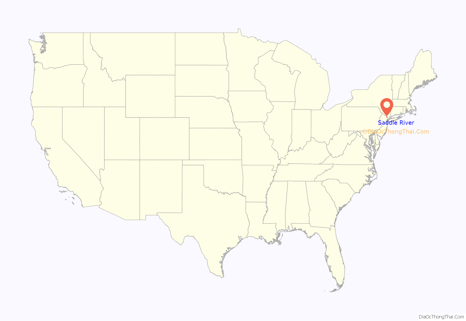
Saddle River location map. Where is Saddle River borough?
History
European settlement of the area that is now Saddle River traces back to 1675, when the Lenape Native Americans sold a stretch of land along the Saddle River to Albert Zabriskie. Saddle River was incorporated as a borough by an act of the New Jersey Legislature on November 22, 1894, from portions of Orvil Township, based on the results of a referendum held three days earlier. The borough was formed during the “Boroughitis” phenomenon then sweeping through Bergen County, in which 26 boroughs were formed in the county in 1894 alone. Saddle River’s referendum passed on November 19, one day before the referendum passed for the formation of the neighboring borough of Upper Saddle River. An additional portion of Orvil Township was annexed in 1903.
The borough is named after the Saddle River, which flows through the borough and is a tributary of the Passaic River, which in turn was named for a stream and valley in Saddell, Argyll, Scotland.
Historic sites
Saddle River is home to the following locations on the National Register of Historic Places:
- Achenbach House – 184 Chestnut Ridge Road (added 1979, burned down in 2004)
- Ackerman House – 136 Chestnut Ridge Road (added 1983)
- Abram Ackerman House – 199 East Saddle River Road (added 1983)
- Garret and Maria Ackerman House – 150 East Saddle River Road (added 1986)
- Garret Augustus Ackerman House – 212 East Saddle River Road (added 1986)
- Ackerman-Dewsnap House – 176 East Saddle River Road (added 1986)
- Ackerman-Smith House – 171 East Allendale Road (added 1986)
- Ackerman-Dater House – 109 West Saddle River Road (added 1983)
- J. J. Carlock House – 2 Chestnut Ridge Road (added 1986)
- Evangelical Lutheran Church of Saddle River and Ramapough Building – 96 East Allendale Road (added 1986)
- Alonzo Foringer House and Studio – 107 and 107B East Saddle River Road (added 1986)
- Hopper House – 45 West Saddle River Road (added 1984)
- Joe Jefferson Clubhouse – 29 East Saddle River Road (added 1986)
- O’Blenis House – 220 East Saddle River Road (added 1986)
- Garret K. Osborn House and Barn – 88 and 90 East Allendale Road (added 1986)
- Dr. E. G. Roy House – 229 West Saddle River Road (added 1986)
- Saddle River Center Historic District – Along West Saddle River Road at jct. of East Allendale Road (added 1986)
- Stillwell-Preston House – 9 East Saddle River Road (added 1986)
- Andries Thomas Van Buskirk House – 164 East Saddle River Road (added 1983)
- Laurance Thomas Van Buskirk House – 116 East Saddle River Road (added 1983)
- B. C. Wandell House-The Cedars – 214, 223, and 224 West Saddle River Road (added 1986)
- F. L. Wandell Estate and Ward Factory Site – 255–261 East Saddle River Road (added 1990)
- Dr. John Christie Ware Bungalow – 246 East Saddle River Road (added 1986)
Saddle River Road Map
Saddle River city Satellite Map
Geography
According to the United States Census Bureau, the borough had a total area of 4.97 square miles (12.86 km), including 4.91 square miles (12.73 km) of land and 0.05 square miles (0.13 km) of water (1.03%).
The borough is bounded by eight municipalities in Bergen County: the boroughs of Allendale, Hillsdale, Ho-Ho-Kus, Ramsey, Upper Saddle River, Waldwick, Washington Township and Woodcliff Lake.
Mount Pleasant and Villa Marie Claire are unincorporated communities located within Saddle River.
See also
Map of New Jersey State and its subdivision: Map of other states:- Alabama
- Alaska
- Arizona
- Arkansas
- California
- Colorado
- Connecticut
- Delaware
- District of Columbia
- Florida
- Georgia
- Hawaii
- Idaho
- Illinois
- Indiana
- Iowa
- Kansas
- Kentucky
- Louisiana
- Maine
- Maryland
- Massachusetts
- Michigan
- Minnesota
- Mississippi
- Missouri
- Montana
- Nebraska
- Nevada
- New Hampshire
- New Jersey
- New Mexico
- New York
- North Carolina
- North Dakota
- Ohio
- Oklahoma
- Oregon
- Pennsylvania
- Rhode Island
- South Carolina
- South Dakota
- Tennessee
- Texas
- Utah
- Vermont
- Virginia
- Washington
- West Virginia
- Wisconsin
- Wyoming
