Franklin Lakes is a borough in Bergen County, in the U.S. state of New Jersey. As of the 2020 United States census, the borough’s population was 11,079, an increase of 489 (+4.6%) from the 2010 census count of 10,590, which in turn reflected an increase of 168 (+1.6%) from the 10,422 counted in the 2000 census. Becton Dickinson, a Fortune 500 company, is headquartered in Franklin Lakes.
Franklin Lakes was formed by an act of the New Jersey Legislature on March 11, 1922, from portions of Franklin Township, based on the results of a referendum held on April 11, 1922. The borough was named for William Franklin, the illegitimate son of Benjamin Franklin, a steadfast Loyalist who served as the last colonial governor of New Jersey.
The borough is one of the state’s highest-income communities. Based on data from the American Community Survey for 2014–2018, Franklin Lakes residents had a median household income of $159,883, more than double the statewide median. In 2010, Forbes ranked Franklin Lakes at 146th in its listing of “America’s Most Expensive ZIP Codes,” with a median home price of $1,306,546.
| Name: | Franklin Lakes borough |
|---|---|
| LSAD Code: | 21 |
| LSAD Description: | borough (suffix) |
| State: | New Jersey |
| County: | Bergen County |
| Incorporated: | March 11, 1922 |
| Elevation: | 522 ft (159 m) |
| Total Area: | 9.88 sq mi (25.60 km²) |
| Land Area: | 9.41 sq mi (24.38 km²) |
| Water Area: | 0.47 sq mi (1.21 km²) 4.75% |
| Total Population: | 11,079 |
| Population Density: | 1,176.9/sq mi (454.4/km²) |
| ZIP code: | 07417 |
| Area code: | 201 |
| FIPS code: | 3424990 |
| GNISfeature ID: | 0885225 |
| Website: | www.franklinlakes.org |
Online Interactive Map
Click on ![]() to view map in "full screen" mode.
to view map in "full screen" mode.
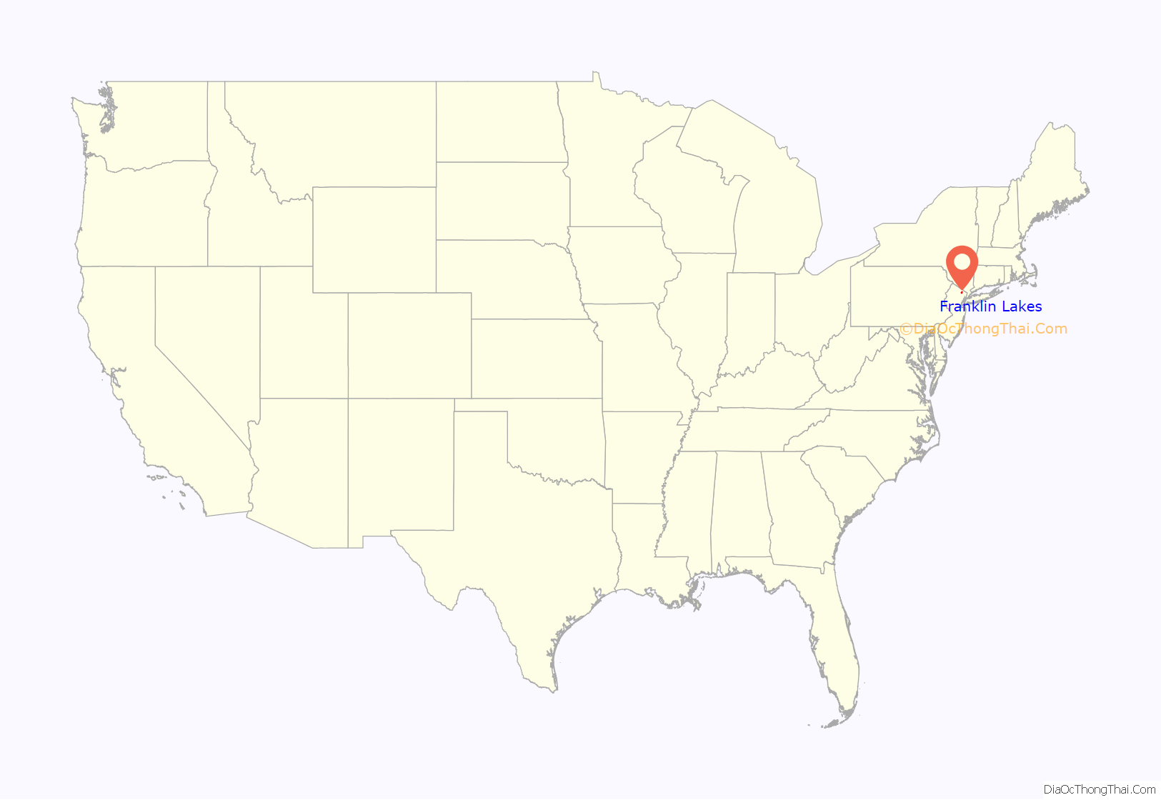
Franklin Lakes location map. Where is Franklin Lakes borough?
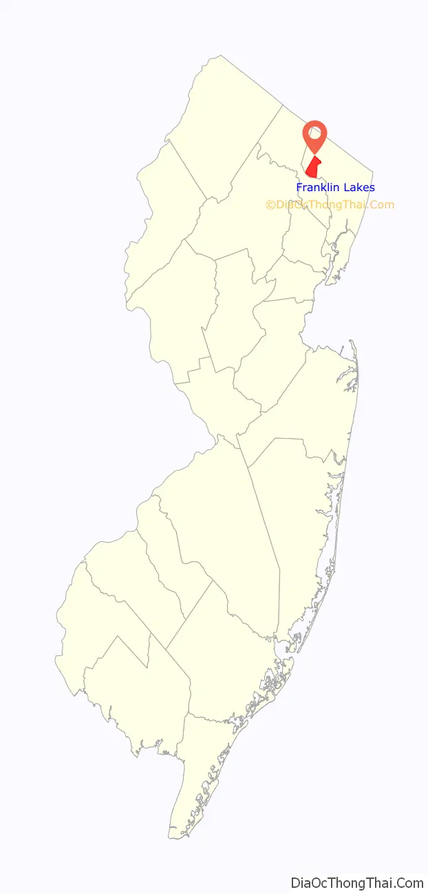
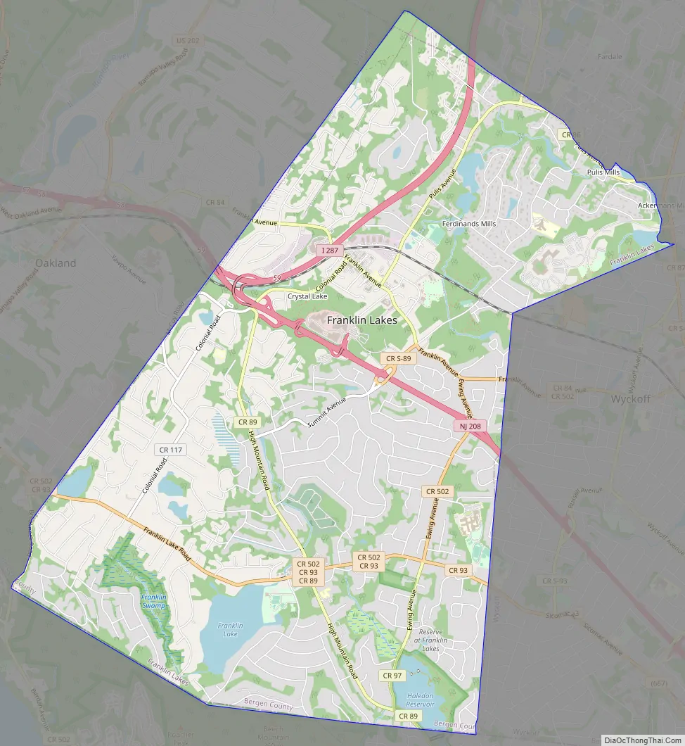
Franklin Lakes Road Map
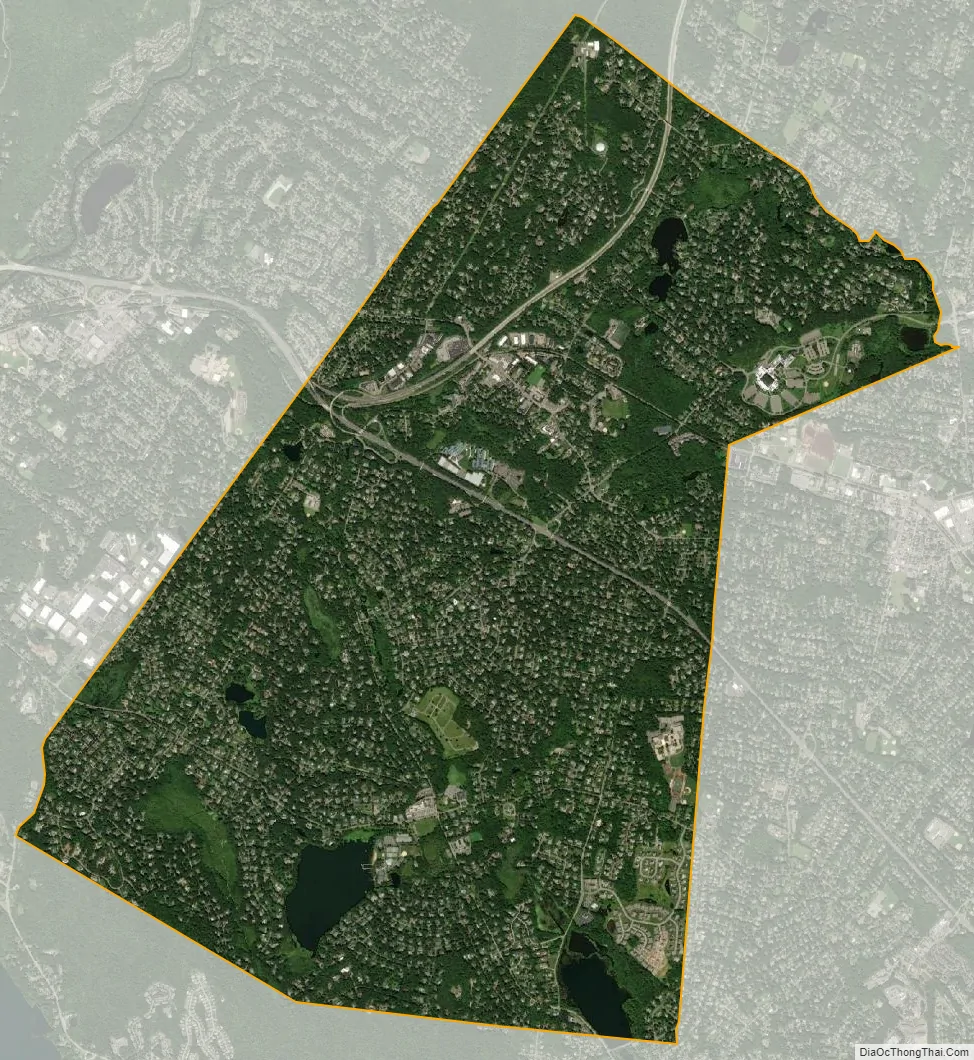
Franklin Lakes city Satellite Map
Geography
According to the United States Census Bureau, the borough had a total area of 9.88 square miles (25.60 km), including 9.41 square miles (24.38 km) of land and 0.47 square miles (1.21 km) of water (4.75%).
Unincorporated communities, localities and place names located partially or wholly within the borough include Bakers Pond, Blauvelt Lakes, Campgaw, Crystal Lakes, Ferdinands Mills, Hopper Lake, Pulis Mills and Shadow Lake.
The borough borders the municipalities of Mahwah, Oakland and Wyckoff in Bergen County; and both North Haledon and Wayne in Passaic County.
See also
Map of New Jersey State and its subdivision: Map of other states:- Alabama
- Alaska
- Arizona
- Arkansas
- California
- Colorado
- Connecticut
- Delaware
- District of Columbia
- Florida
- Georgia
- Hawaii
- Idaho
- Illinois
- Indiana
- Iowa
- Kansas
- Kentucky
- Louisiana
- Maine
- Maryland
- Massachusetts
- Michigan
- Minnesota
- Mississippi
- Missouri
- Montana
- Nebraska
- Nevada
- New Hampshire
- New Jersey
- New Mexico
- New York
- North Carolina
- North Dakota
- Ohio
- Oklahoma
- Oregon
- Pennsylvania
- Rhode Island
- South Carolina
- South Dakota
- Tennessee
- Texas
- Utah
- Vermont
- Virginia
- Washington
- West Virginia
- Wisconsin
- Wyoming


