Old Tappan (/oʊld təˈpæn/ tə-PAN) is a borough in northern Bergen County, in the U.S. state of New Jersey. As of the 2020 United States census, the borough’s population was 5,888, an increase of 138 (+2.4%) from the 2010 census count of 5,750, which in turn reflected an increase of 268 (+4.9%) from the 5,482 counted at the 2000 census.
Old Tappan was incorporated as a borough by an act of the New Jersey Legislature on October 18, 1894, from portions of Harrington Township, based on the results of a referendum held two days earlier. The borough was formed during the “Boroughitis” phenomenon then sweeping through Bergen County, in which 26 boroughs were formed in the county in 1894 alone. On April 23, 1896, additional territory was annexed from Harrington Township. The borough’s name is derived from the Tappan tribe of Native Americans.
| Name: | Old Tappan borough |
|---|---|
| LSAD Code: | 21 |
| LSAD Description: | borough (suffix) |
| State: | New Jersey |
| County: | Bergen County |
| Incorporated: | October 18, 1894 |
| Elevation: | 52 ft (16 m) |
| Total Area: | 4.163 sq mi (10.78 km²) |
| Land Area: | 3.315 sq mi (8.59 km²) |
| Water Area: | 0.848 sq mi (2.20 km²) 20.37% |
| Total Population: | 5,888 |
| Population Density: | 1,776.2/sq mi (685.8/km²) |
| ZIP code: | 07675 |
| Area code: | 201 |
| FIPS code: | 3454870 |
| GNISfeature ID: | 0885336 |
| Website: | www.oldtappan.net |
Online Interactive Map
Click on ![]() to view map in "full screen" mode.
to view map in "full screen" mode.
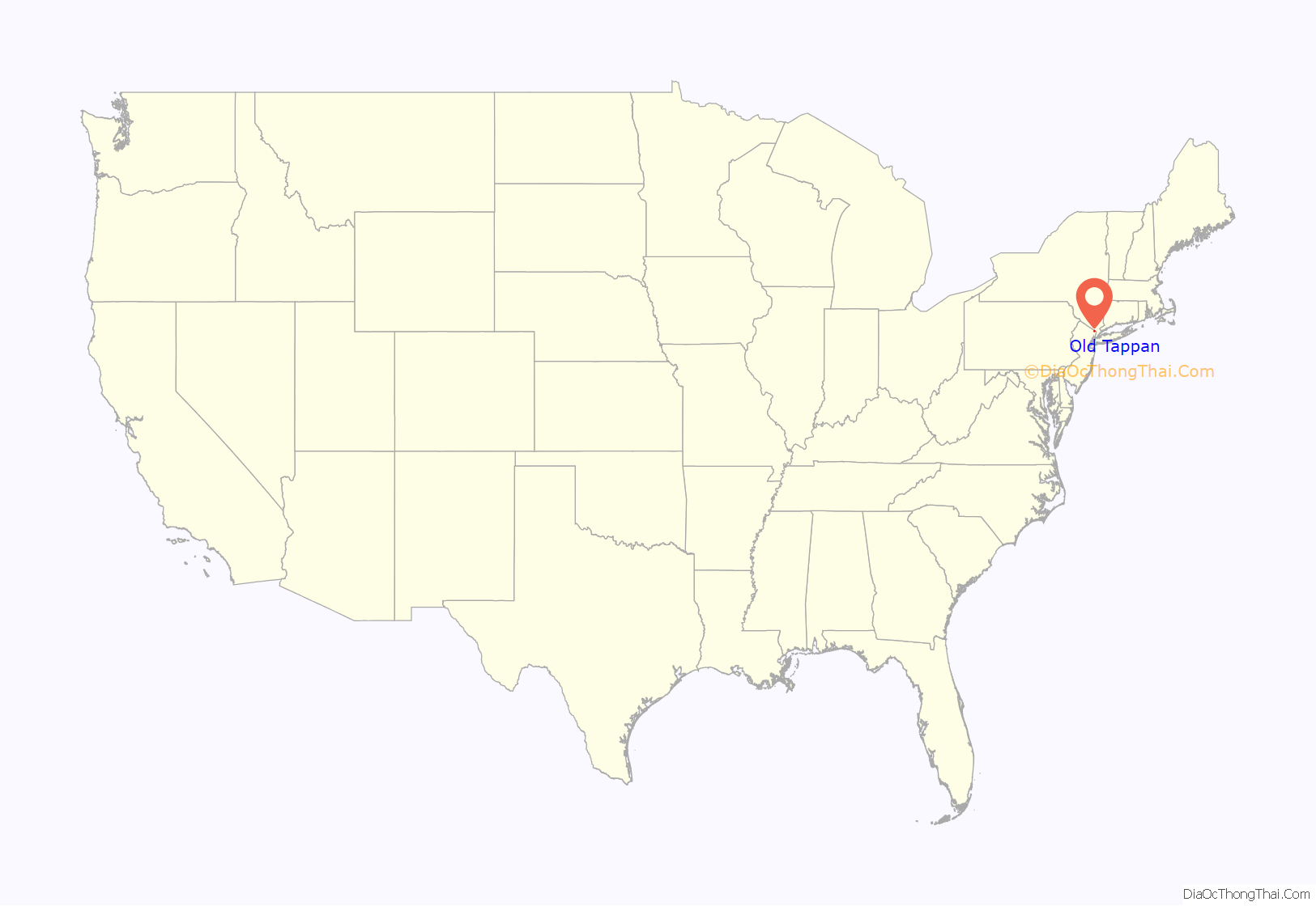
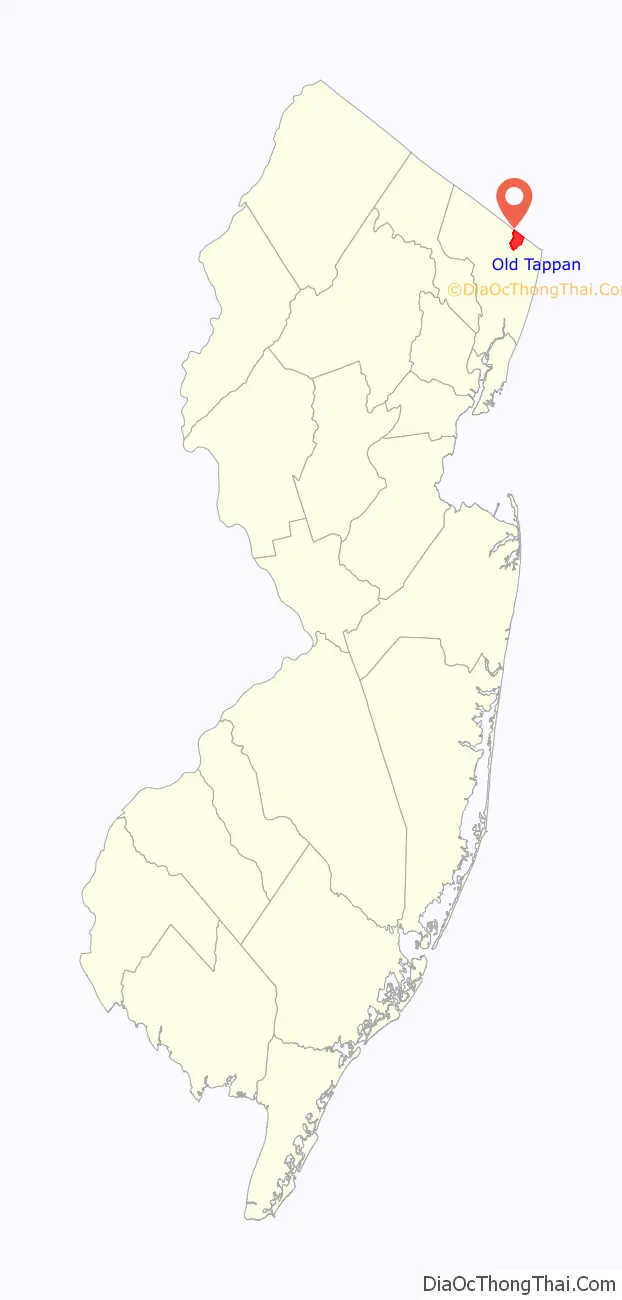
Old Tappan location map. Where is Old Tappan borough?
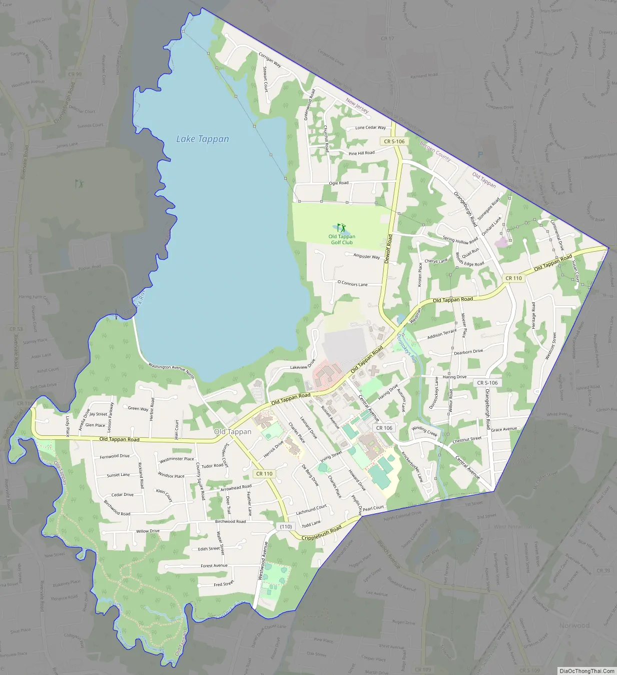
Old Tappan Road Map
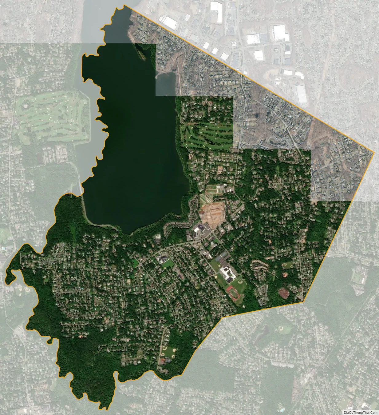
Old Tappan city Satellite Map
Geography
According to the United States Census Bureau, the borough had a total area of 4.163 square miles (10.78 km), including 3.315 square miles (8.59 km) of land and 0.848 square miles (2.20 km) of water (20.38%).
One of only four confluence points in New Jersey, the 41°N 74°W crossing, is in Old Tappan on watershed property owned by United Water.
The borough is bordered to the north by the hamlets of Pearl River and Tappan in the town of Orangetown in Rockland County, New York. Lake Tappan and the Hackensack River are on the western side of the town, bordering River Vale. Harrington Park is to the south and Northvale and Norwood are to the east.
See also
Map of New Jersey State and its subdivision: Map of other states:- Alabama
- Alaska
- Arizona
- Arkansas
- California
- Colorado
- Connecticut
- Delaware
- District of Columbia
- Florida
- Georgia
- Hawaii
- Idaho
- Illinois
- Indiana
- Iowa
- Kansas
- Kentucky
- Louisiana
- Maine
- Maryland
- Massachusetts
- Michigan
- Minnesota
- Mississippi
- Missouri
- Montana
- Nebraska
- Nevada
- New Hampshire
- New Jersey
- New Mexico
- New York
- North Carolina
- North Dakota
- Ohio
- Oklahoma
- Oregon
- Pennsylvania
- Rhode Island
- South Carolina
- South Dakota
- Tennessee
- Texas
- Utah
- Vermont
- Virginia
- Washington
- West Virginia
- Wisconsin
- Wyoming


