Park Ridge is a borough in Bergen County, in the U.S. state of New Jersey. As of the 2020 United States census, the borough’s population was 8,883, an increase of 238 (+2.8%) from the 2010 census count of 8,645, which in turn reflected a decline of 63 (−0.7%) from the 8,708 counted in the 2000 census.
| Name: | Park Ridge borough |
|---|---|
| LSAD Code: | 21 |
| LSAD Description: | borough (suffix) |
| State: | New Jersey |
| County: | Bergen County |
| Incorporated: | May 15, 1894 |
| Elevation: | 144 ft (44 m) |
| Total Area: | 2.63 sq mi (6.81 km²) |
| Land Area: | 2.61 sq mi (6.75 km²) |
| Water Area: | 0.02 sq mi (0.05 km²) 0.80% |
| Total Population: | 8,883 |
| Population Density: | 3,407.4/sq mi (1,315.6/km²) |
| ZIP code: | 07656 |
| Area code: | 201 |
| FIPS code: | 3456130 |
| GNISfeature ID: | 0885341 |
| Website: | www.parkridgeboro.com |
Online Interactive Map
Click on ![]() to view map in "full screen" mode.
to view map in "full screen" mode.
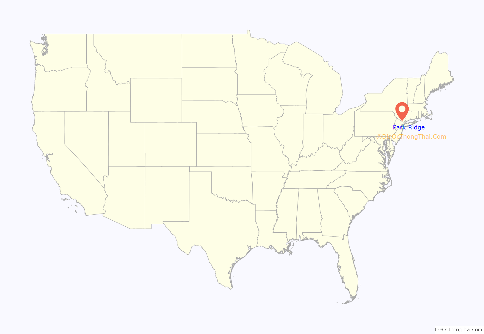
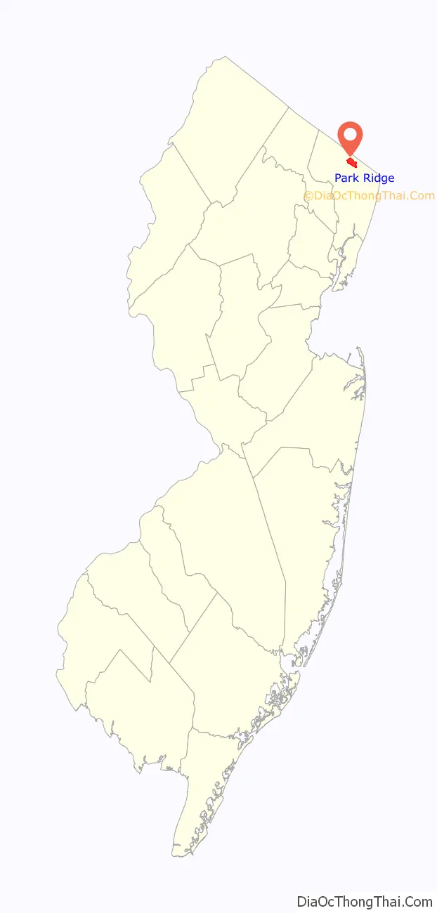
Park Ridge location map. Where is Park Ridge borough?
History
Park Ridge was created as a borough by an act of the New Jersey Legislature on May 15, 1894, from portions of Washington Township, based on the results of a referendum held the previous day. The borough was formed during the “Boroughitis” phenomenon then sweeping through Bergen County, in which 26 boroughs were formed in the county in 1894 alone. Park Ridge obtained a portion of River Vale (July 15, 1929), exchanged portions with Woodcliff Lake (December 12, 1955), received part of Washington Township (November 26, 1956), exchanged portions with Hillsdale (February 10, 1958) and Woodcliff Lake (June 9, 1958) and received another part of Washington Township (August 11, 1958). The borough’s name derives from its location.
Park Ridge’s Pascack Historical Society Museum, at 19 Ridge Avenue, houses the world’s only wampum drilling machine. This wooden artifact was made in Park Ridge by the Campbell Brothers who invented a way to drill through long pieces of hair pipe shells so that they could be strung and worn as breast plates by the Plains Indians, among others. Needing water for the operation, the industrious brothers leased a woolen mill that stood on the Pascack Brook. When that burned down they built their own mill farther down Pascack Creek on their land and another shop on Pascack Road near their homestead. Both buildings housed drilling machines on their second floors where they were safe from prying eyes, as the two machines had not been patented. In the early 19th century, John Jacob Astor purchased wampum from the Campbells to trade with the Native Americans of the Pacific Northwest whose beaver pelts he turned into men’s hats. The best years for the wampum business were between 1835 and 1866. The drilling machine can be seen at the Pascack Historical Society Museum on Wednesdays from 10 a.m. until noon and Sundays from 1–4 p.m. Admission is free.
Historic sites
Park Ridge is home to the following locations on the National Register of Historic Places:
- John G. Ackerson House – 142 Pascack Road (added 1983)
- Isaac Debaun House – 124 Rivervale Road (added 1983)
- Park Ridge Station – Hawthorne and Park Avenue (added 1984)
- Peter D. Perry House – 107 Rivervale Road (added 1983)
- Wortendyke Barn – 13 Pascack Road (added 1973)
- Frederick Wortendyke House – 12 Pascack Road (added 1983)
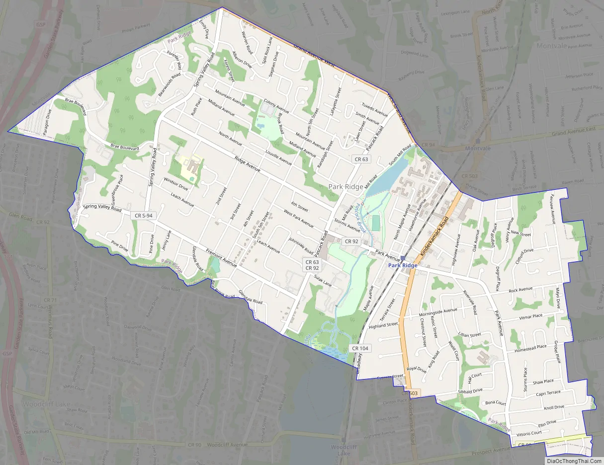
Park Ridge Road Map
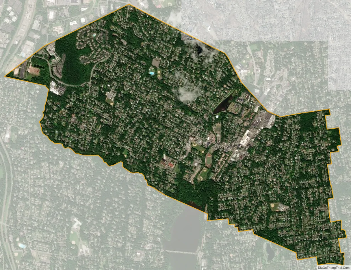
Park Ridge city Satellite Map
Geography
According to the United States Census Bureau, the borough had a total area of 2.63 square miles (6.81 km), including 2.61 square miles (6.75 km) of land and 0.02 square miles (0.05 km) of water (0.80%).
The borough is a part of the Pascack Valley region of Bergen County. It is bordered by the Bergen County municipalities of Hillsdale, Montvale, River Vale and Woodcliff Lake. Although no major highways run through the borough, it is serviced by the Garden State Parkway at exits 168, 171 and 172 in Washington Township, Woodcliff Lake and Montvale, respectively.
See also
Map of New Jersey State and its subdivision: Map of other states:- Alabama
- Alaska
- Arizona
- Arkansas
- California
- Colorado
- Connecticut
- Delaware
- District of Columbia
- Florida
- Georgia
- Hawaii
- Idaho
- Illinois
- Indiana
- Iowa
- Kansas
- Kentucky
- Louisiana
- Maine
- Maryland
- Massachusetts
- Michigan
- Minnesota
- Mississippi
- Missouri
- Montana
- Nebraska
- Nevada
- New Hampshire
- New Jersey
- New Mexico
- New York
- North Carolina
- North Dakota
- Ohio
- Oklahoma
- Oregon
- Pennsylvania
- Rhode Island
- South Carolina
- South Dakota
- Tennessee
- Texas
- Utah
- Vermont
- Virginia
- Washington
- West Virginia
- Wisconsin
- Wyoming


