Hillsdale is a borough in the northern portion of Bergen County, in the U.S. state of New Jersey, within the New York City metropolitan area. As of the 2020 United States census, the borough’s population was 10,143, a decrease of 76 (−0.7%) from the 2010 census count of 10,219, which in turn reflected an increase of 132 (+1.3%) from the 10,087 counted at the 2000 census.
The populated area today known as Hillsdale took form in the mid-to-late 19th century as land speculators, led by David P. Patterson, developed subdivisions to profit from the coming of the Hackensack and New York Railroad (later New Jersey and New York Railroad). The area was incorporated as Hillsdale Township on March 25, 1898, from portions of Washington Township, which had, in turn, been set off from Harrington Township in 1840. Portions of the township were taken on April 30, 1906, to create the township of River Vale. Hillsdale was reincorporated as a borough by an act of the New Jersey Legislature on March 2, 1923, subject to approval which came in a referendum held on April 24, 1923. The borough’s name derives from its location in a “dale among the hills”.
| Name: | Hillsdale borough |
|---|---|
| LSAD Code: | 21 |
| LSAD Description: | borough (suffix) |
| State: | New Jersey |
| County: | Bergen County |
| Incorporated: | March 25, 1898, as Township April 24, 1923 as Borough |
| Elevation: | 62 ft (19 m) |
| Total Area: | 2.94 sq mi (7.61 km²) |
| Land Area: | 2.90 sq mi (7.52 km²) |
| Water Area: | 0.04 sq mi (0.09 km²) 1.19% |
| Total Population: | 10,143 |
| Population Density: | 3,495.2/sq mi (1,349.5/km²) |
| ZIP code: | 07642 |
| Area code: | 201 |
| FIPS code: | 3431920 |
| GNISfeature ID: | 0885255 |
| Website: | www.hillsdalenj.org |
Online Interactive Map
Click on ![]() to view map in "full screen" mode.
to view map in "full screen" mode.
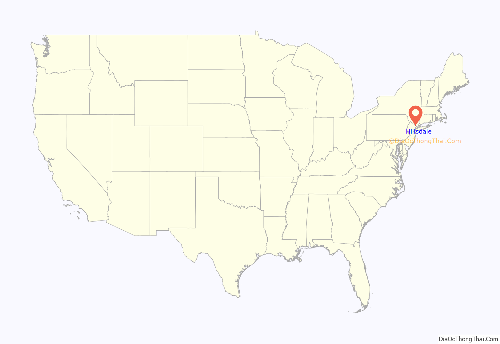
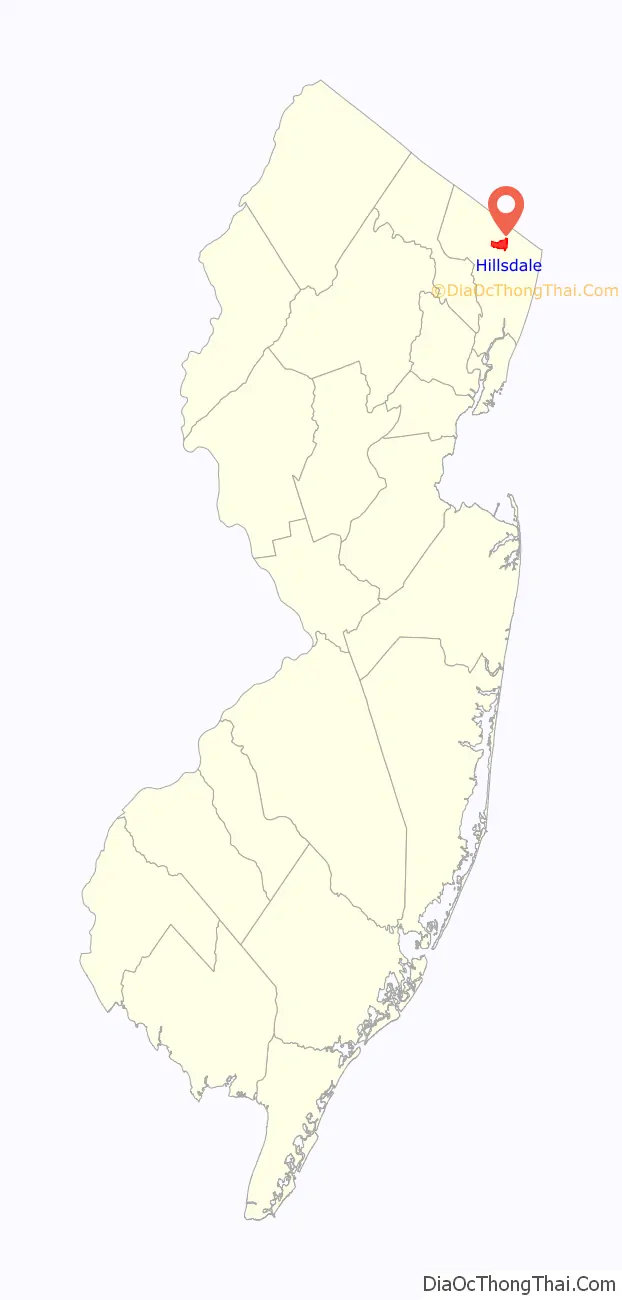
Hillsdale location map. Where is Hillsdale borough?
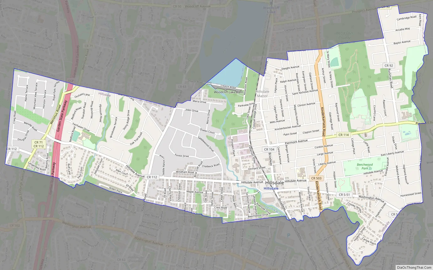
Hillsdale Road Map
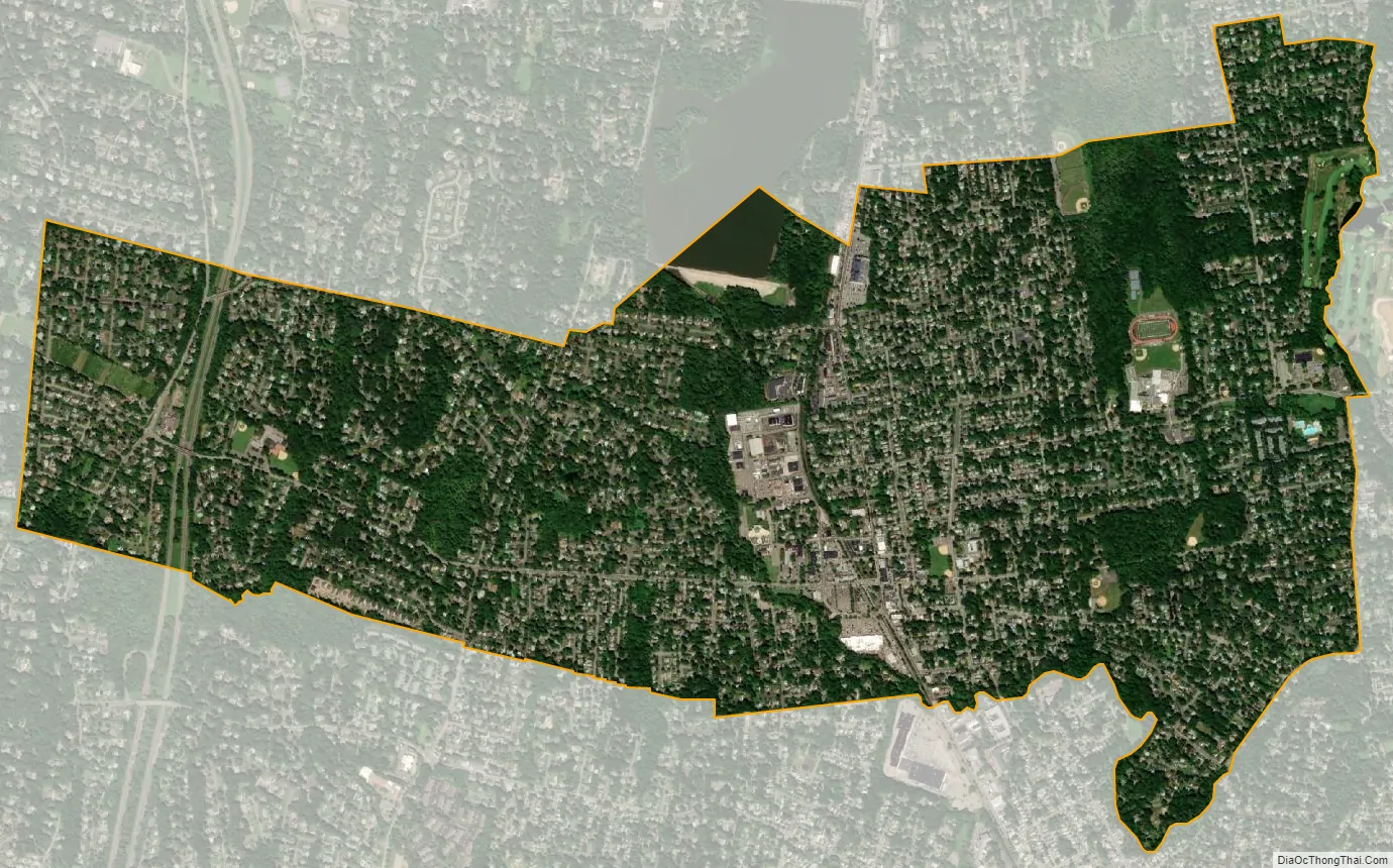
Hillsdale city Satellite Map
Geography
According to the United States Census Bureau, the borough had a total area of 2.94 square miles (7.61 km), including 2.90 square miles (7.52 km) of land and 0.04 square miles (0.09 km) of water (1.19%).
A small portion of Woodcliff Lake Reservoir lies inside the borough, at the southeast end of the reservoir, with Church Road following along the southern end of the spillway.
The borough borders Ho-Ho-Kus, Park Ridge, River Vale, Saddle River, Washington Township, Westwood and Woodcliff Lake.
Hillsdale Manor is an unincorporated community located within Hillsdale.
See also
Map of New Jersey State and its subdivision: Map of other states:- Alabama
- Alaska
- Arizona
- Arkansas
- California
- Colorado
- Connecticut
- Delaware
- District of Columbia
- Florida
- Georgia
- Hawaii
- Idaho
- Illinois
- Indiana
- Iowa
- Kansas
- Kentucky
- Louisiana
- Maine
- Maryland
- Massachusetts
- Michigan
- Minnesota
- Mississippi
- Missouri
- Montana
- Nebraska
- Nevada
- New Hampshire
- New Jersey
- New Mexico
- New York
- North Carolina
- North Dakota
- Ohio
- Oklahoma
- Oregon
- Pennsylvania
- Rhode Island
- South Carolina
- South Dakota
- Tennessee
- Texas
- Utah
- Vermont
- Virginia
- Washington
- West Virginia
- Wisconsin
- Wyoming


