Ramsey is a borough in Bergen County, in the U.S. state of New Jersey. It is a suburb of New York City, located 26 miles (42 km) northwest of Midtown Manhattan. As of the 2020 United States census, the borough’s population was 14,798, an increase of 325 (+2.2%) from the 2010 census count of 14,473, which in turn reflected an increase of 122 (+0.9%) from the 14,351 counted in the 2000 census.
Ramsey was incorporated as a borough by an act of the New Jersey Legislature on March 10, 1908, from portions of Hohokus Township (whose remnants are now Mahwah Township). Additional territory was annexed from Waldwick in 1921, and portions of the borough were ceded to Saddle River in 1925.
| Name: | Ramsey borough |
|---|---|
| LSAD Code: | 21 |
| LSAD Description: | borough (suffix) |
| State: | New Jersey |
| County: | Bergen County |
| Incorporated: | March 10, 1908 |
| Elevation: | 351 ft (107 m) |
| Total Area: | 5.57 sq mi (14.43 km²) |
| Land Area: | 5.50 sq mi (14.25 km²) |
| Water Area: | 0.07 sq mi (0.18 km²) 1.24% |
| Total Population: | 14,798 |
| Population Density: | 2,689.1/sq mi (1,038.3/km²) |
| ZIP code: | 07446 |
| Area code: | 201 |
| FIPS code: | 3461680 |
| GNISfeature ID: | 0885364 |
| Website: | www.ramseynj.com |
Online Interactive Map
Click on ![]() to view map in "full screen" mode.
to view map in "full screen" mode.
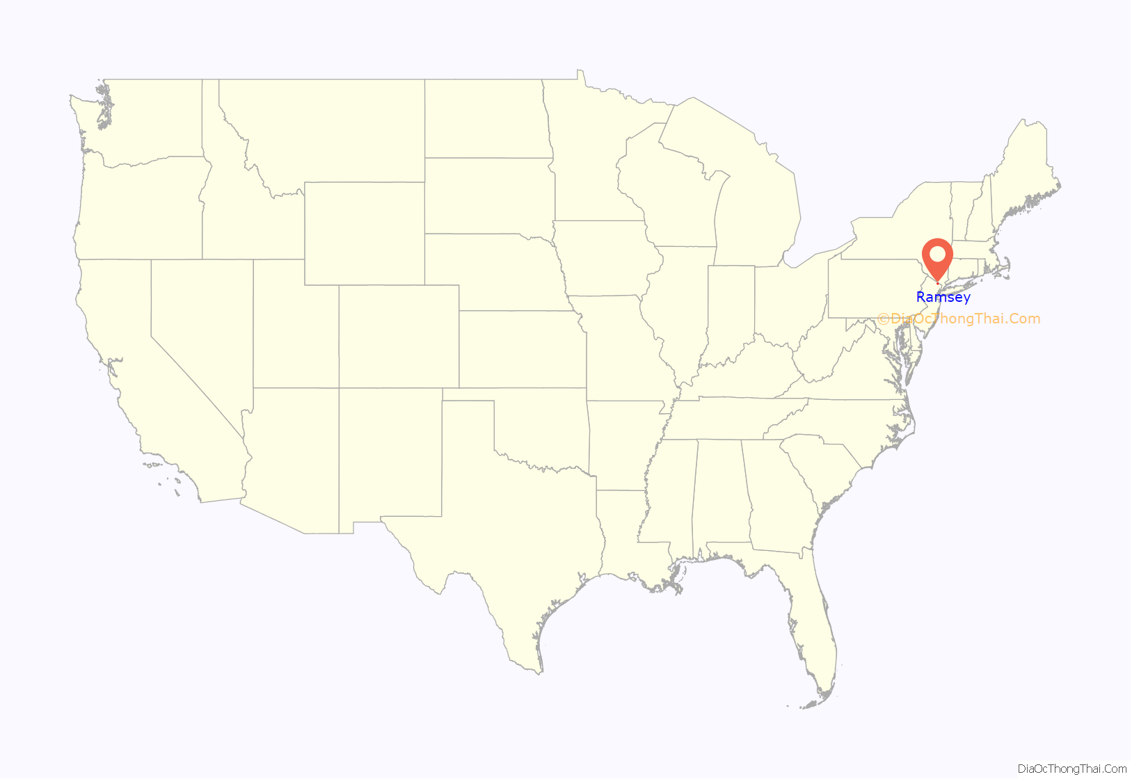
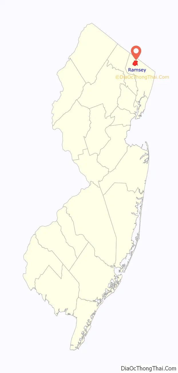
Ramsey location map. Where is Ramsey borough?
History
Before European settlement, the area that became Ramsey was occupied by the Lenape Native Americans in the United States.
The most noteworthy local historical site is the Old Stone House, which is, as its name describes, both old and constructed of stone, though its construction materials in the early 1700s also included hog’s hair. It was originally a Dutch farmhouse and served as a tavern during the Revolutionary War. Legend has it that Aaron Burr slaked his thirst at this site, on his way to courting the woman who would become his wife in Ho-Ho-Kus. The structure opened as a historic site in 1960 with a display of antique pitchers.
Ramsey is named after Peter J. Ramsey, a 19th-century landowner who died c. 1854, who had sold the land that became the site of a railroad station called “Ramsey’s” in 1848.
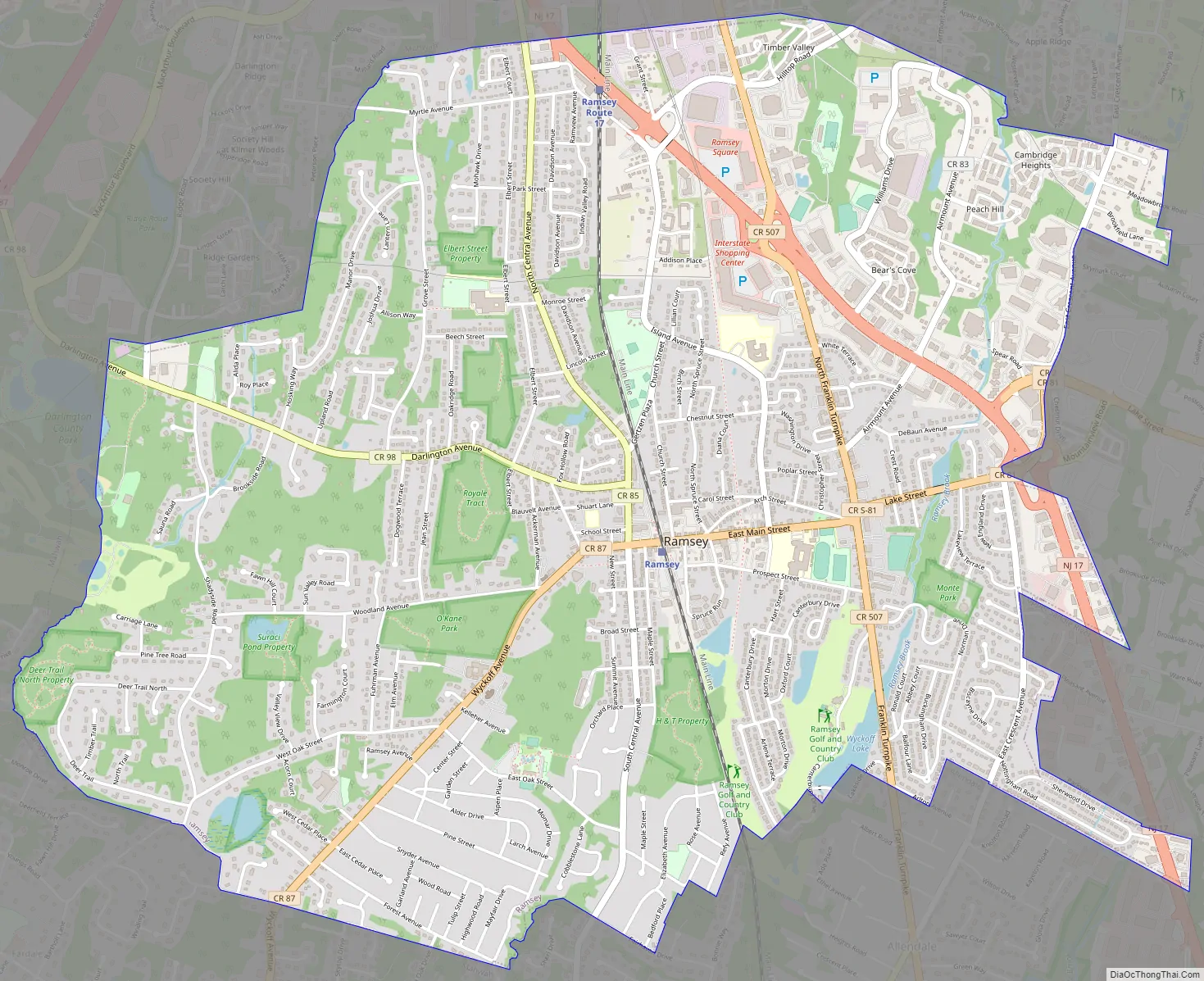
Ramsey Road Map
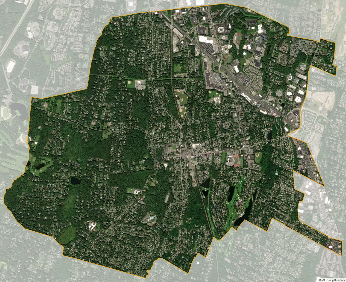
Ramsey city Satellite Map
Geography
According to the United States Census Bureau, the borough had a total area of 5.57 square miles (14.43 km), including 5.50 square miles (14.25 km) of land and 0.07 square miles (0.18 km) of water (1.24%).
The borough is bordered by the Bergen County municipalities of Allendale on the southeast, Mahwah on the north, west, and southwest and by Saddle River and Upper Saddle River on the east.
See also
Map of New Jersey State and its subdivision: Map of other states:- Alabama
- Alaska
- Arizona
- Arkansas
- California
- Colorado
- Connecticut
- Delaware
- District of Columbia
- Florida
- Georgia
- Hawaii
- Idaho
- Illinois
- Indiana
- Iowa
- Kansas
- Kentucky
- Louisiana
- Maine
- Maryland
- Massachusetts
- Michigan
- Minnesota
- Mississippi
- Missouri
- Montana
- Nebraska
- Nevada
- New Hampshire
- New Jersey
- New Mexico
- New York
- North Carolina
- North Dakota
- Ohio
- Oklahoma
- Oregon
- Pennsylvania
- Rhode Island
- South Carolina
- South Dakota
- Tennessee
- Texas
- Utah
- Vermont
- Virginia
- Washington
- West Virginia
- Wisconsin
- Wyoming


