Waldwick (/ˈwɔːldwɪk/) is a borough in Bergen County, in the U.S. state of New Jersey. As of the 2020 United States census, the borough’s population was 10,058, an increase of 433 (+4.5%) from the 2010 census count of 9,625, which in turn reflected an increase of three people (+0.0%) from the 9,622 counted in the 2000 census.
| Name: | Waldwick borough |
|---|---|
| LSAD Code: | 21 |
| LSAD Description: | borough (suffix) |
| State: | New Jersey |
| County: | Bergen County |
| Incorporated: | April 1, 1919 |
| Elevation: | 223 ft (68 m) |
| Total Area: | 2.07 sq mi (5.35 km²) |
| Land Area: | 2.05 sq mi (5.30 km²) |
| Water Area: | 0.02 sq mi (0.05 km²) 0.97% |
| Total Population: | 10,058 |
| Population Density: | 4,915.9/sq mi (1,898.0/km²) |
| ZIP code: | 07463 |
| Area code: | 201 |
| FIPS code: | 3476400 |
| GNISfeature ID: | 0885429 |
| Website: | www.waldwicknj.org |
Online Interactive Map
Click on ![]() to view map in "full screen" mode.
to view map in "full screen" mode.
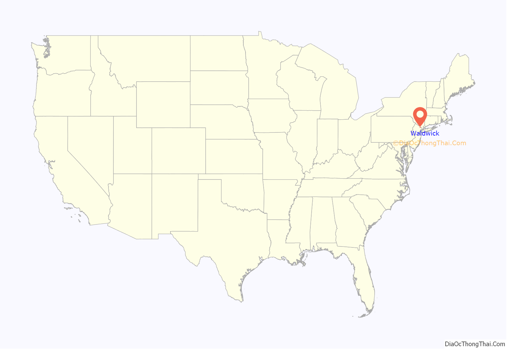
Waldwick location map. Where is Waldwick borough?
History
Originally inhabited during the pre-Columbian era by the Lenape Native American tribe, the region surrounding Waldwick was first explored by Europeans when a Dutch trading expedition landed near there in 1610. With the creation of the Nieuw Amsterdam colony in 1624, the present site of the borough became a Dutch possession along with the rest of northeastern New Jersey. During the period from 1624 to 1664 it was sparsely developed by Dutch settlers, mainly for agricultural purposes. With the annexation of Nieuw Amsterdam by the English in 1664 came a nearly instant increase in immigration to the region and the development of several settlements in and around the present borders of the borough.
In the mid-19th century, Waldwick and the surrounding area constituted a small settlement within Franklin Township, an area that encompassed much of northwestern Bergen County. The area’s population grew significantly after the Erie Railroad established a train station. On January 1, 1886, Orvil Township was formed from portions of Hohokus Township and Washington Township. The “Boroughitis” phenomenon that swept through Bergen County, in which 26 boroughs were formed in the county in 1894 alone, hit Orvil Township particularly hard, resulting in the formation of five new boroughs created from the nascent township, including Montvale and Woodcliff (now Woodcliff Lake) on August 31, 1894, Allendale on November 10, 1894, Saddle River on November 20, 1894, and Upper Saddle River formed on November 22, 1894. On April 7, 1919, a council of citizens voted to incorporate as the borough of “Waldwick”, from the remaining portions of Orvil Township. With the creation of the borough of Waldwick, Orvil Township was dissolved.
Various derivations of the borough’s name have been offered, including one that “Waldwick” is Old English, from “wald” (forest) and “wick” (settlement or place). According to The History of Bergen County written in 1900 by James M. Van Valen, the name Waldwick comes from a Saxon language word meaning “beautiful grove” though other sources show a related meaning of “village in a grove”.
Historic places
Waldwick is home to the following historic places listed on the National Register of Historic Places:
- Erie Railroad Signal Tower, Waldwick Yard – Northeast end of Bonhert Place, west side of railroad tracks (listed 1983). Built in 1848 for the Erie Railroad.
- Albert Smith House – 289 Wyckoff Avenue, built in 1750
- Waldwick Railroad Station – Hewson Avenue and Prospect Streets (listed 1978). The station opened in 1886 as a station along the Erie Railroad.
- White Tenant House – 16 White’s Lane (listed 1983, now demolished)
Waldwick Road Map
Waldwick city Satellite Map
Geography
According to the United States Census Bureau, the borough had a total area of 2.07 square miles (5.35 km), including 2.05 square miles (5.30 km) of land and 0.02 square miles (0.05 km) of water (0.97%).
The borough is surrounded by the Bergen County municipalities of Allendale, Ho-Ho-Kus, Midland Park, Ridgewood, Saddle River and Wyckoff.
The Ho-Ho-Kus Brook flows through the center of the borough in a roughly southward direction.
See also
Map of New Jersey State and its subdivision: Map of other states:- Alabama
- Alaska
- Arizona
- Arkansas
- California
- Colorado
- Connecticut
- Delaware
- District of Columbia
- Florida
- Georgia
- Hawaii
- Idaho
- Illinois
- Indiana
- Iowa
- Kansas
- Kentucky
- Louisiana
- Maine
- Maryland
- Massachusetts
- Michigan
- Minnesota
- Mississippi
- Missouri
- Montana
- Nebraska
- Nevada
- New Hampshire
- New Jersey
- New Mexico
- New York
- North Carolina
- North Dakota
- Ohio
- Oklahoma
- Oregon
- Pennsylvania
- Rhode Island
- South Carolina
- South Dakota
- Tennessee
- Texas
- Utah
- Vermont
- Virginia
- Washington
- West Virginia
- Wisconsin
- Wyoming
