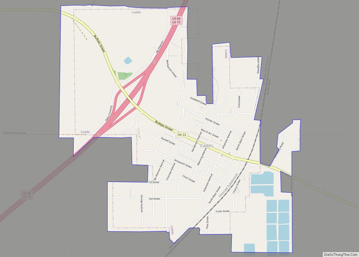
Caddo is a town in Bryan County, Oklahoma, United States. The population was 997 at the 2010 census, a 5.6 percent gain over the figure of 944 recorded in 2000. The name is derived from a Caddo word, ka do hada’ cho, meaning “real chief” in English. According to Encyclopedia of Oklahoma History and Culture, the town was named for the nearby Caddo Hills.
| Name: | Caddo town |
|---|---|
| LSAD Code: | 43 |
| LSAD Description: | town (suffix) |
| State: | Oklahoma |
| County: | Bryan County |
| Elevation: | 728 ft (222 m) |
| Total Area: | 1.69 sq mi (4.38 km²) |
| Land Area: | 1.69 sq mi (4.38 km²) |
| Water Area: | 0.00 sq mi (0.00 km²) |
| Total Population: | 1,017 |
| Population Density: | 601.06/sq mi (232.02/km²) |
| ZIP code: | 74729 |
| Area code: | 580 |
| FIPS code: | 4010800 |
| GNISfeature ID: | 1090794 |
Online Interactive Map
Click on ![]() to view map in "full screen" mode.
to view map in "full screen" mode.
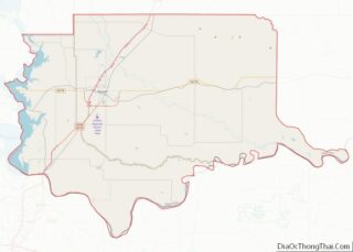
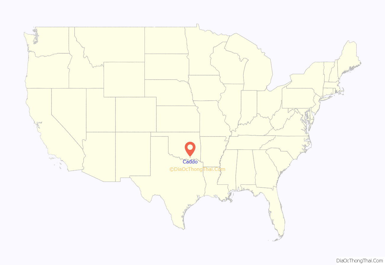
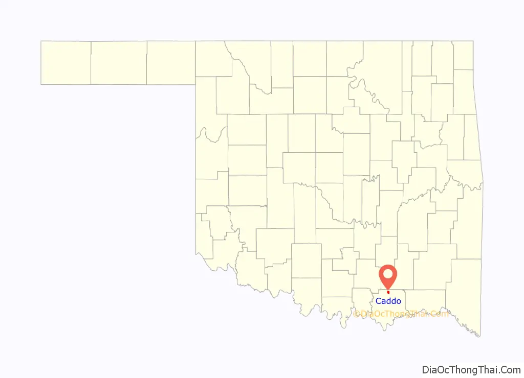
Caddo location map. Where is Caddo town?
History
The early inhabitants were Caddos and Choctaws, at least in the early 19th Century. A local legend says that the Caddos and the Choctaws had a fierce battle in 1840, about 2 miles (3.2 km) southeast of the site of present-day Caddo, The Choctaws won the battle, driving off the Caddos.
After a patent for the land, located on a buffalo trail, was obtained in 1872, the first settlers lived in tents.
In 1872, the Missouri-Kansas-Texas Railroad (Katy) built a line through the Choctaw Nation and established a station at Caddo. A post office was opened December 18, 1872, and the railroad reached Denison, Texas by Christmas Day. In 1873, the town population was about four hundred people. Caddo quickly became a shipping and trade center for the surrounding area. By 1890, Caddo had five cotton gins and a population of 2,170. Caddo incorporated as a city in 1898. It was then the most populous town in the region.
At the time of its founding Caddo was located in Blue County, a part of the Pushmataha District of the Choctaw Nation.
Caddo was on the route of the Jefferson Highway established in 1915, with that road running more than 2,300 miles from Winnipeg, Manitoba to New Orleans, Louisiana.
When the St. Louis and San Francisco Railway (Frisco) planned to build an east–west line through the area, land prices jumped up. Frisco officials decided to build their line through Durant instead of Caddo. Durant then became the fastest-growing town, and became the county seat when Bryan County was formed at statehood. By 1930, Caddo’s population had fallen to 933.
In 1943, Guy A. Crossett, the editor of The Caddo Herald newspaper described Caddo’s decline. “Caddo was a thriving town when Durant was a switch; when Hugo was a prairie; when Madill was unborn; when Coalgate was un-thought-of; when Ardmore was only in Pennsylvania; when Idabel was yet to be; when Atoka was a small village. Yet all have outgrown us. The reason is plain. We did not elect a delegate to Bill Murray’s famous Constitutional Convention; and tried to live upon the glories of the past. Finding out too late that we could not run the mill with water that has passed. Yet Caddo’s part in the history of the state is honorable. That is secure. The future is another thing.”
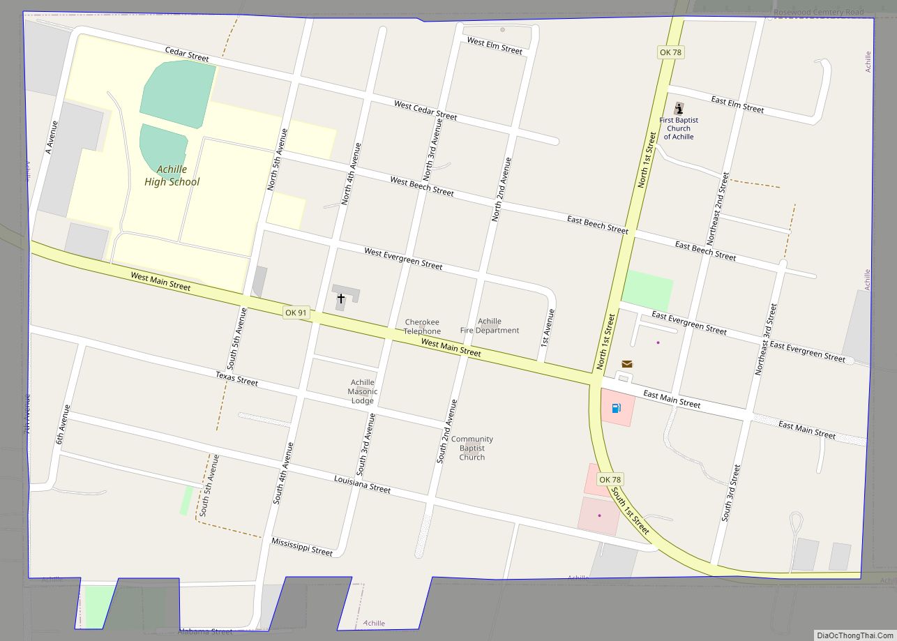
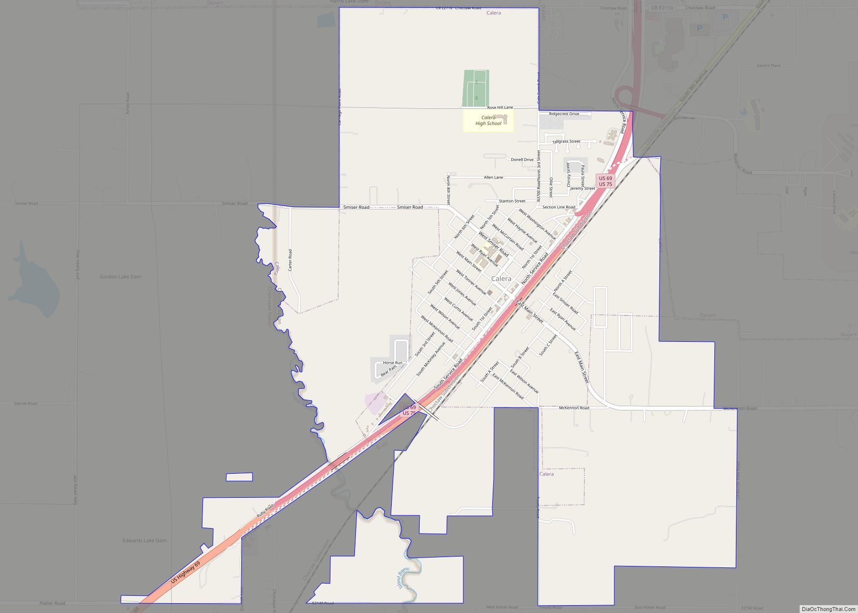
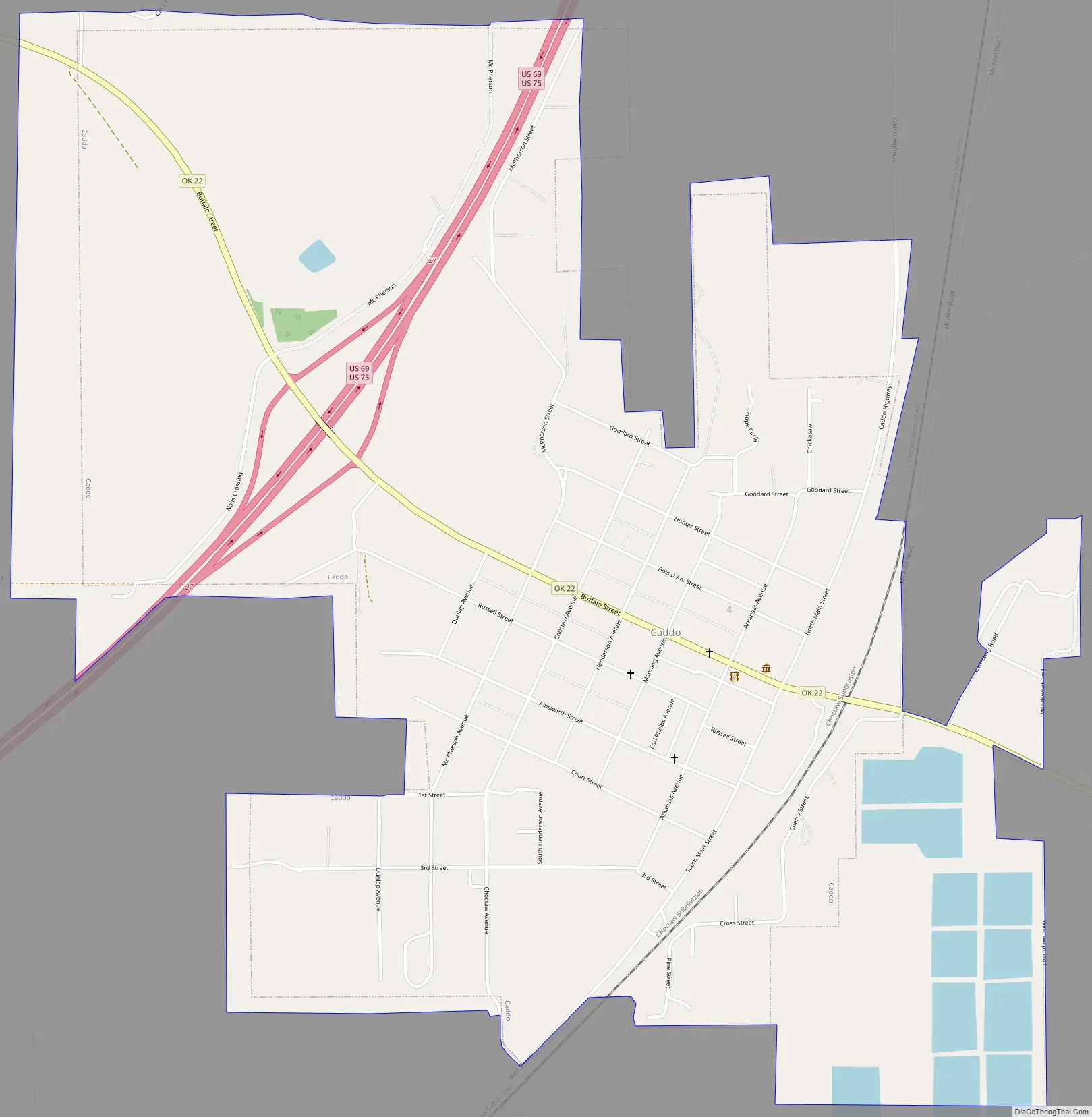
Caddo Road Map
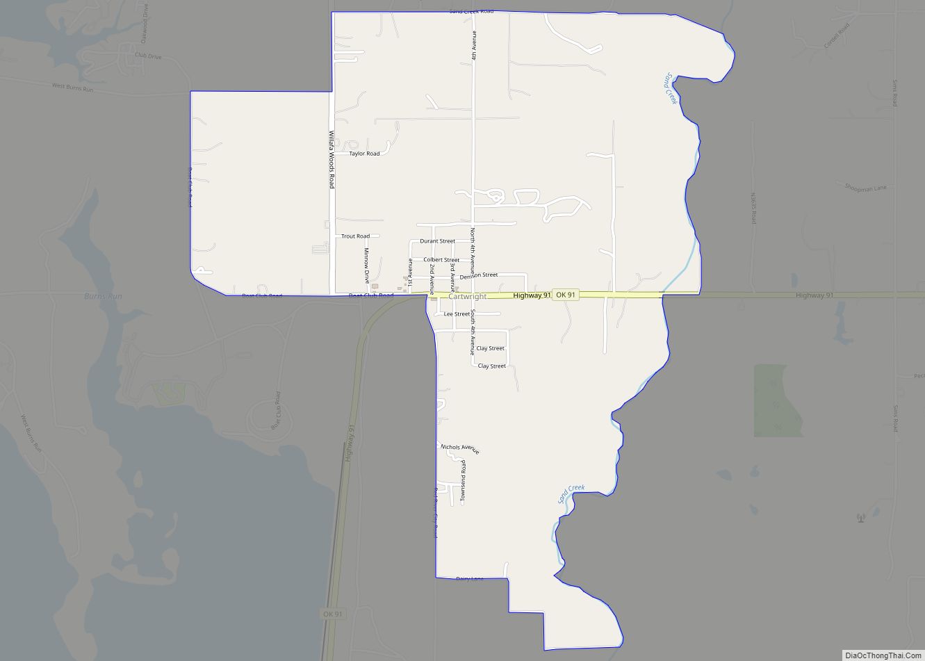
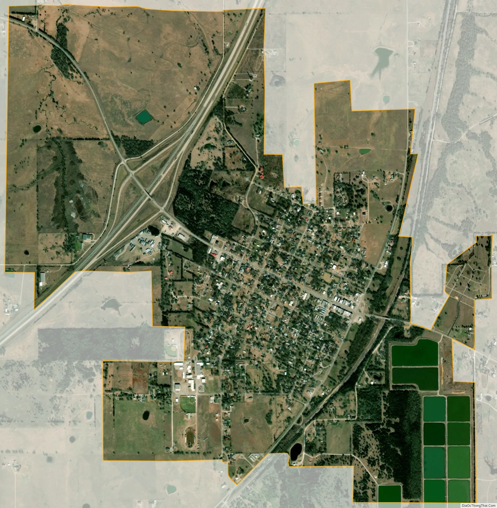
Caddo city Satellite Map
Geography
According to the United States Census Bureau, Caddo has a total area of 2.1 square miles (5.4 km), all land.
See also
Map of Oklahoma State and its subdivision:- Adair
- Alfalfa
- Atoka
- Beaver
- Beckham
- Blaine
- Bryan
- Caddo
- Canadian
- Carter
- Cherokee
- Choctaw
- Cimarron
- Cleveland
- Coal
- Comanche
- Cotton
- Craig
- Creek
- Custer
- Delaware
- Dewey
- Ellis
- Garfield
- Garvin
- Grady
- Grant
- Greer
- Harmon
- Harper
- Haskell
- Hughes
- Jackson
- Jefferson
- Johnston
- Kay
- Kingfisher
- Kiowa
- Latimer
- Le Flore
- Lincoln
- Logan
- Love
- Major
- Marshall
- Mayes
- McClain
- McCurtain
- McIntosh
- Murray
- Muskogee
- Noble
- Nowata
- Okfuskee
- Oklahoma
- Okmulgee
- Osage
- Ottawa
- Pawnee
- Payne
- Pittsburg
- Pontotoc
- Pottawatomie
- Pushmataha
- Roger Mills
- Rogers
- Seminole
- Sequoyah
- Stephens
- Texas
- Tillman
- Tulsa
- Wagoner
- Washington
- Washita
- Woods
- Woodward
- Alabama
- Alaska
- Arizona
- Arkansas
- California
- Colorado
- Connecticut
- Delaware
- District of Columbia
- Florida
- Georgia
- Hawaii
- Idaho
- Illinois
- Indiana
- Iowa
- Kansas
- Kentucky
- Louisiana
- Maine
- Maryland
- Massachusetts
- Michigan
- Minnesota
- Mississippi
- Missouri
- Montana
- Nebraska
- Nevada
- New Hampshire
- New Jersey
- New Mexico
- New York
- North Carolina
- North Dakota
- Ohio
- Oklahoma
- Oregon
- Pennsylvania
- Rhode Island
- South Carolina
- South Dakota
- Tennessee
- Texas
- Utah
- Vermont
- Virginia
- Washington
- West Virginia
- Wisconsin
- Wyoming