Oilton is a city in Creek County, Oklahoma, United States. The population was 885 at the 2020 census, a 12.6% decline from the 1,013 recorded in 2010.
| Name: | Oilton city |
|---|---|
| LSAD Code: | 25 |
| LSAD Description: | city (suffix) |
| State: | Oklahoma |
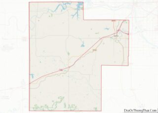
| County: | Creek County |
| Elevation: | 787 ft (240 m) |
| Total Area: | 1.13 sq mi (2.93 km²) |
| Land Area: | 1.13 sq mi (2.93 km²) |
| Water Area: | 0.00 sq mi (0.00 km²) |
| Total Population: | 885 |
| Population Density: | 783.19/sq mi (302.32/km²) |
| ZIP code: | 74052 |
| Area code: | 539/918 |
| FIPS code: | 4054000 |
| GNISfeature ID: | 1096192 |
| Website: | www.cityofoilton.com |
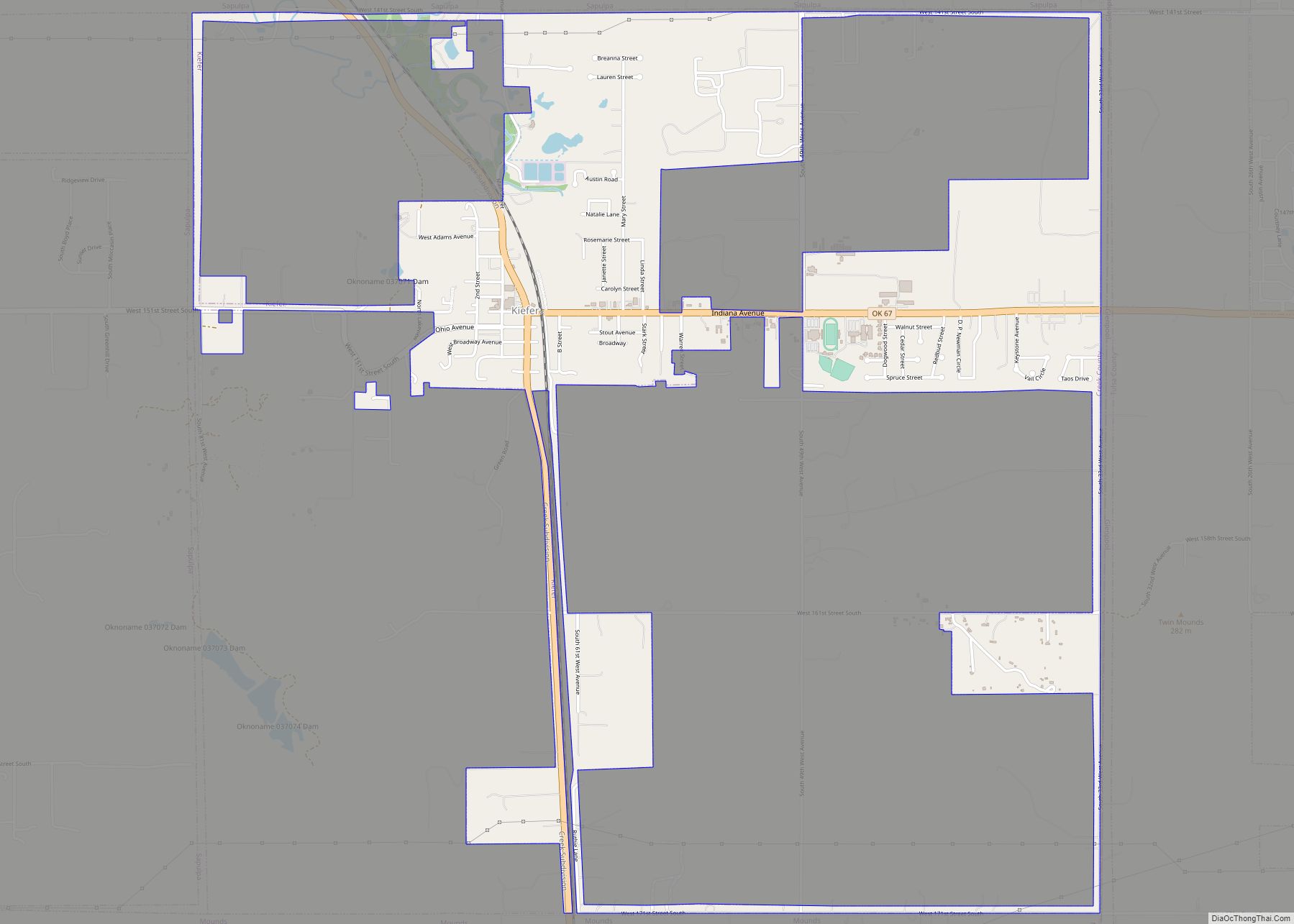
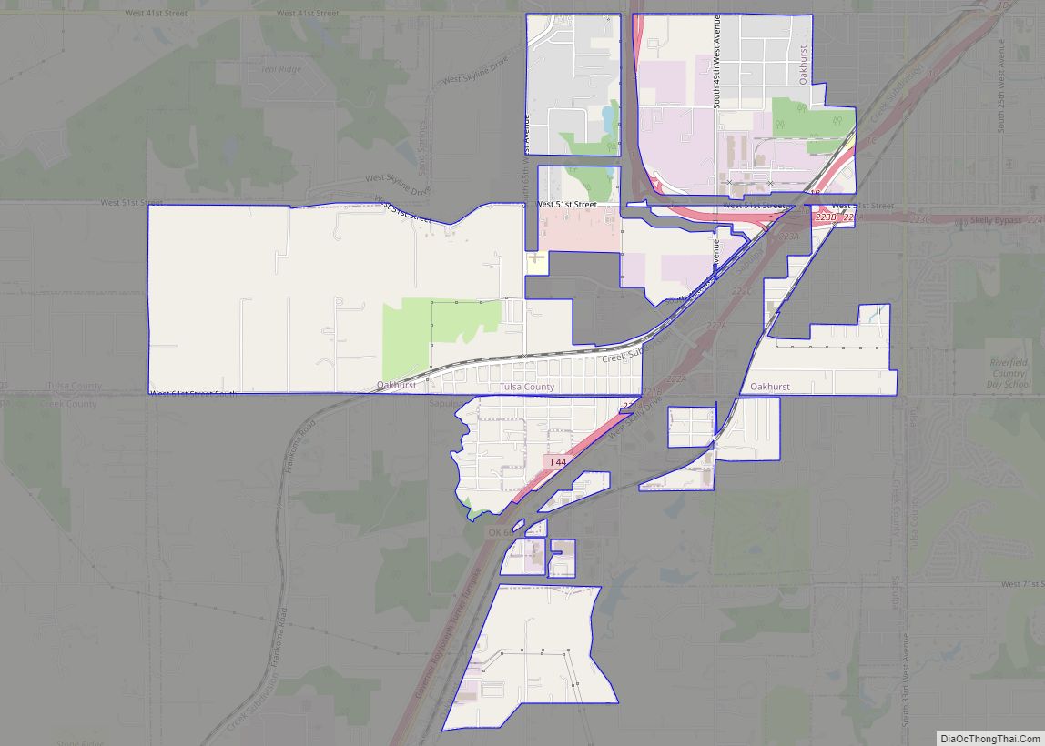
Online Interactive Map
Click on ![]() to view map in "full screen" mode.
to view map in "full screen" mode.
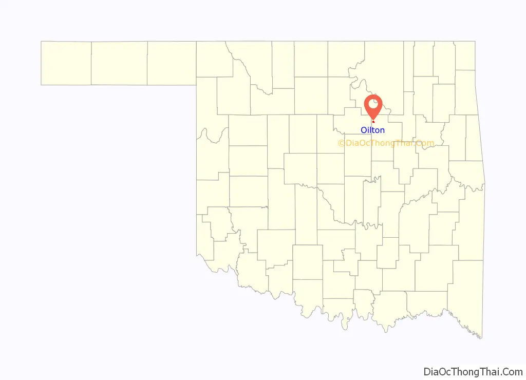
Oilton location map. Where is Oilton city?

History
Oilton began during the development of the Cushing-Drumright Oil Field. The first lots were sold in January and February 1915 by Walter Eaton and Ed Dunn. A post office was established May 5, 1915. The First State Bank opened and the newspaper, the Oilton Gusher, began publication in 1915. In the same year, the Oil Belt Terminal Railway connected Oilton to Jennings, while the Oil Fields and Santa Fe Railway, an Atchison, Topeka and Santa Fe Railway subsidiary, bought the Oil Belt and additionally connected the town to Cushing and Drumright. By 1920, Oilton’s population officially peaked at 2,231. It became an incorporated city on April 18, 1921. Despite a rapid drop in petroleum production in the Cushing-Drumright field throughout the 1920s and 1930s, Oilton survived when a number of other oilboom towns did not.
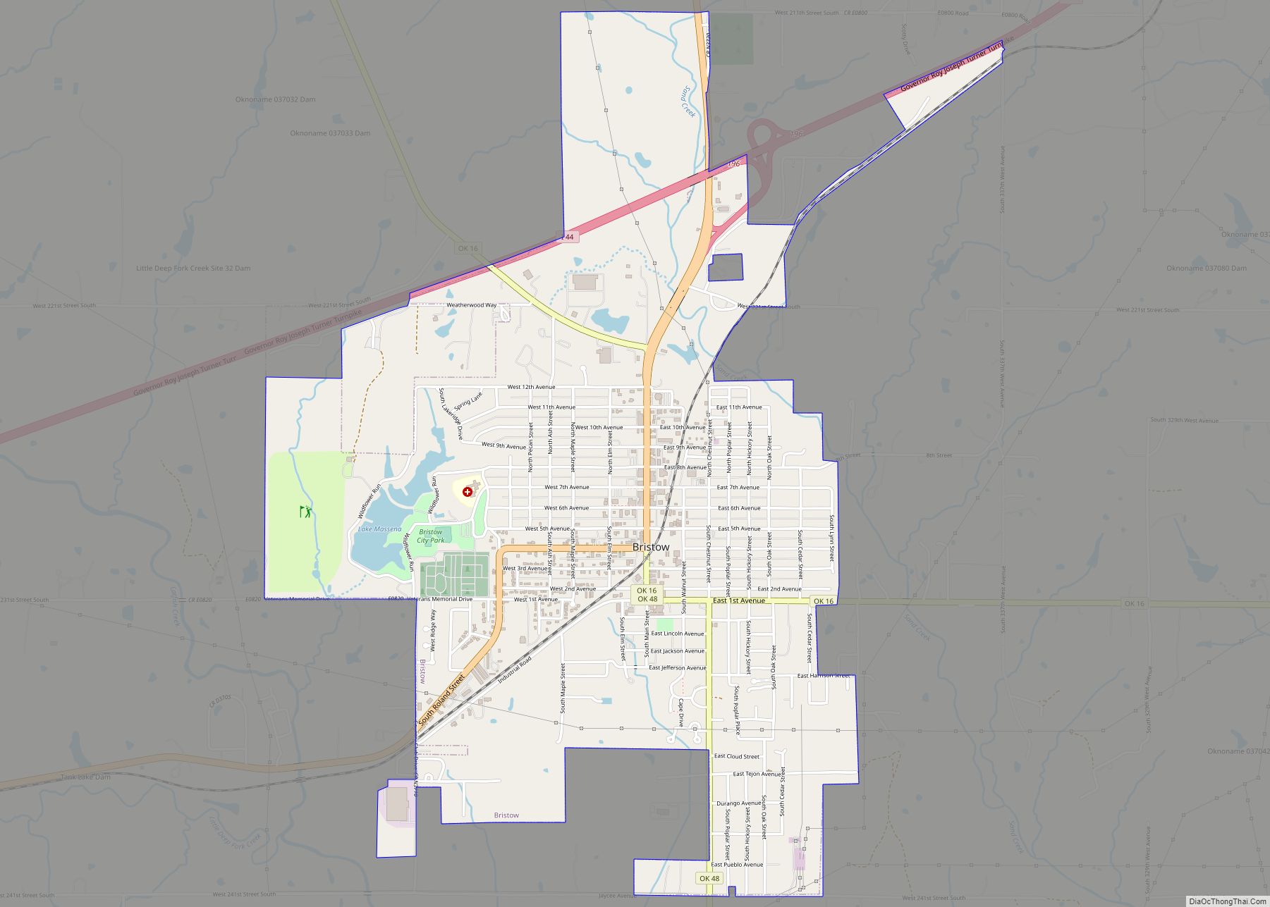
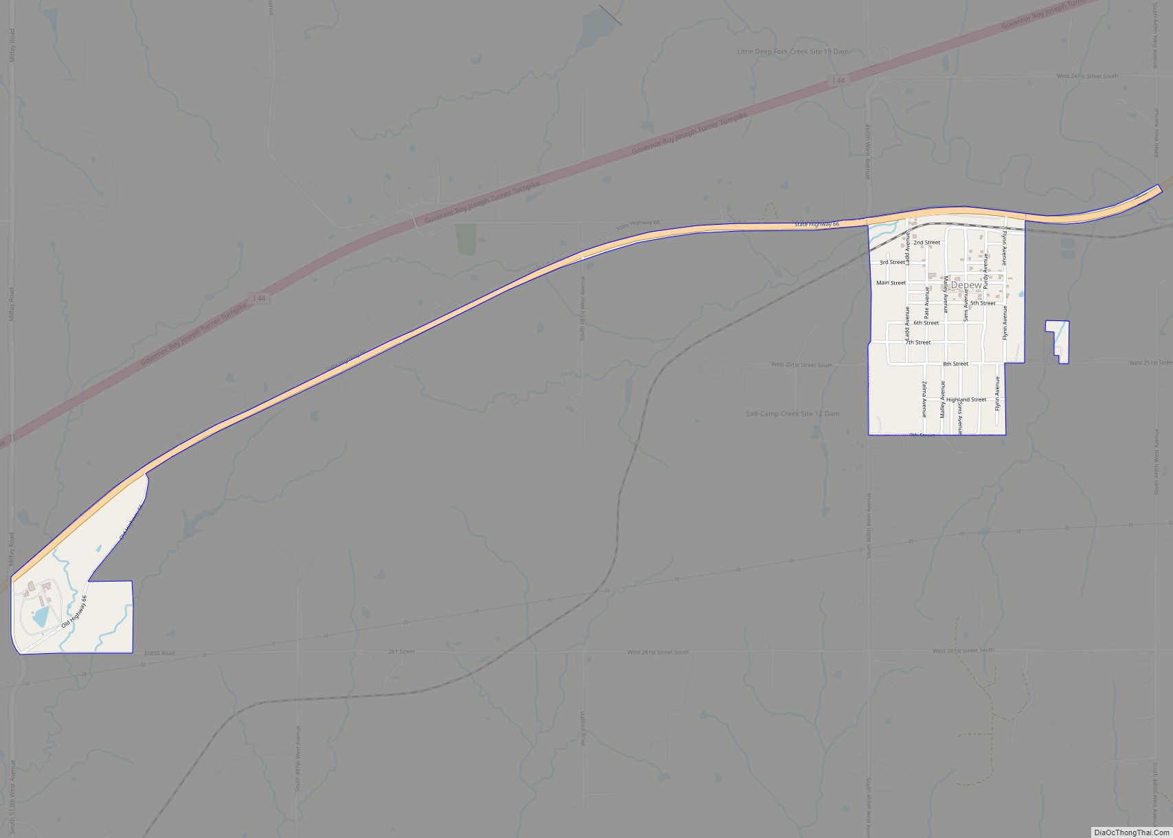
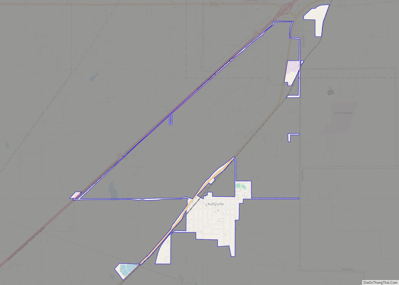
Oilton Road Map

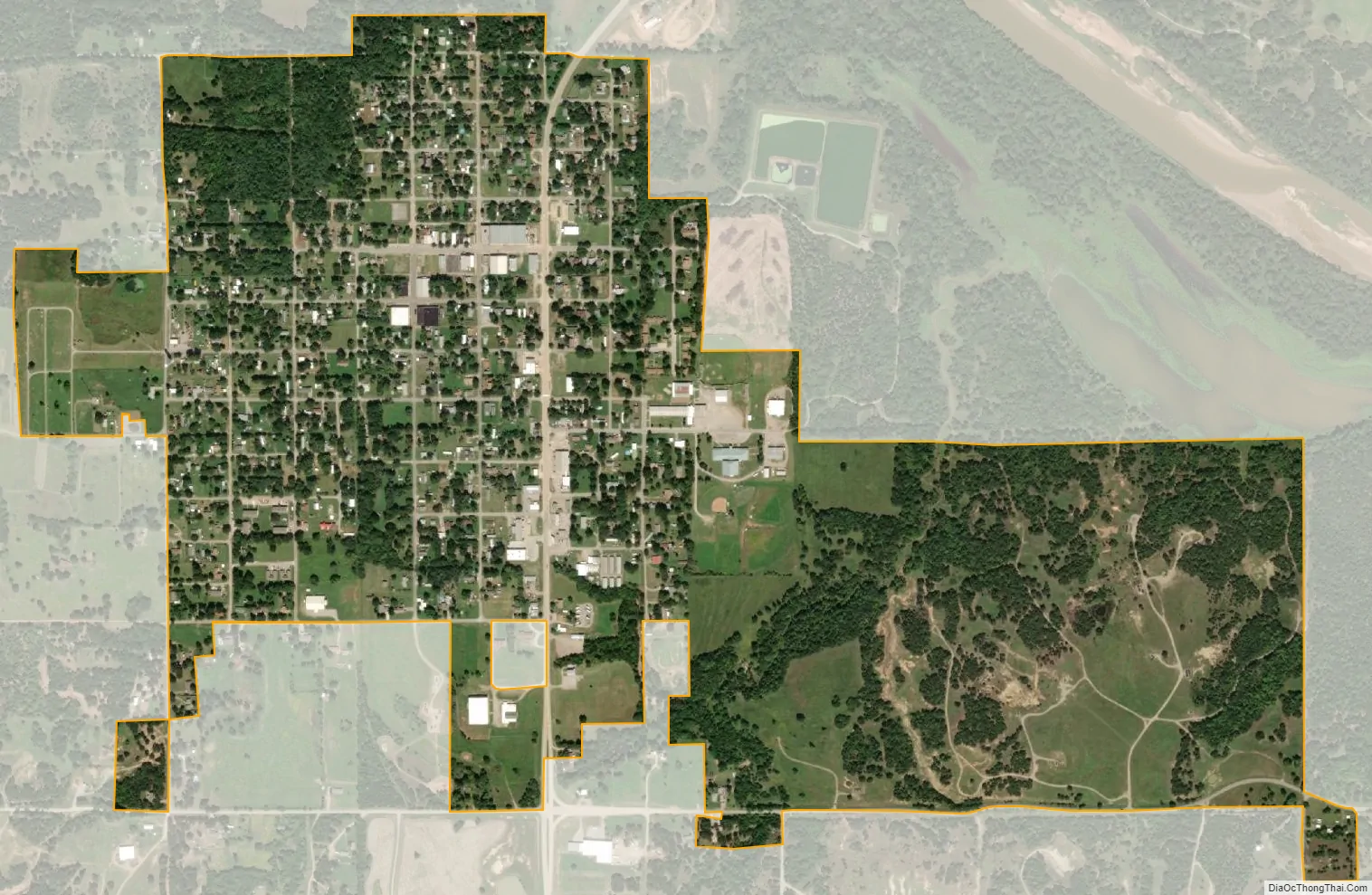
Oilton city Satellite Map
Geography
Oilton is located in northwestern Creek County at 36°5′N 96°35′W / 36.083°N 96.583°W / 36.083; -96.583 (36.0850, -96.5866). It is on the south side of the Cimarron River near the head of the inundation limit of Keystone Lake.
Oklahoma State Highway 99 passes through the community, leading north 7 miles (11 km) to Jennings and south 7 miles (11 km) to Drumright. Tulsa is 38 miles (61 km) to the east, and Stillwater is 30 miles (48 km) to the west.
According to the United States Census Bureau, Oilton has a total area of 1.0 square mile (2.7 km), all land.
See also
Map of Oklahoma State and its subdivision:- Adair
- Alfalfa
- Atoka
- Beaver
- Beckham
- Blaine
- Bryan
- Caddo
- Canadian
- Carter
- Cherokee
- Choctaw
- Cimarron
- Cleveland
- Coal
- Comanche
- Cotton
- Craig
- Creek
- Custer
- Delaware
- Dewey
- Ellis
- Garfield
- Garvin
- Grady
- Grant
- Greer
- Harmon
- Harper
- Haskell
- Hughes
- Jackson
- Jefferson
- Johnston
- Kay
- Kingfisher
- Kiowa
- Latimer
- Le Flore
- Lincoln
- Logan
- Love
- Major
- Marshall
- Mayes
- McClain
- McCurtain
- McIntosh
- Murray
- Muskogee
- Noble
- Nowata
- Okfuskee
- Oklahoma
- Okmulgee
- Osage
- Ottawa
- Pawnee
- Payne
- Pittsburg
- Pontotoc
- Pottawatomie
- Pushmataha
- Roger Mills
- Rogers
- Seminole
- Sequoyah
- Stephens
- Texas
- Tillman
- Tulsa
- Wagoner
- Washington
- Washita
- Woods
- Woodward
- Alabama
- Alaska
- Arizona
- Arkansas
- California
- Colorado
- Connecticut
- Delaware
- District of Columbia
- Florida
- Georgia
- Hawaii
- Idaho
- Illinois
- Indiana
- Iowa
- Kansas
- Kentucky
- Louisiana
- Maine
- Maryland
- Massachusetts
- Michigan
- Minnesota
- Mississippi
- Missouri
- Montana
- Nebraska
- Nevada
- New Hampshire
- New Jersey
- New Mexico
- New York
- North Carolina
- North Dakota
- Ohio
- Oklahoma
- Oregon
- Pennsylvania
- Rhode Island
- South Carolina
- South Dakota
- Tennessee
- Texas
- Utah
- Vermont
- Virginia
- Washington
- West Virginia
- Wisconsin
- Wyoming