Beavercreek is an unincorporated hamlet and census-designated place in Clackamas County, Oregon, United States, located 6 miles (10 km) southeast of Oregon City. The population was 4,485 at the 2010 census.
| Name: | Beavercreek CDP |
|---|---|
| LSAD Code: | 57 |
| LSAD Description: | CDP (suffix) |
| State: | Oregon |
| County: | Clackamas County |
| Total Area: | 20.11 sq mi (52.10 km²) |
| Land Area: | 20.10 sq mi (52.05 km²) |
| Water Area: | 0.02 sq mi (0.04 km²) |
| Total Population: | 4,727 |
| Population Density: | 235.20/sq mi (90.81/km²) |
| ZIP code: | 97004 |
| FIPS code: | 4105250 |
| GNISfeature ID: | 2584404 |
Online Interactive Map
Click on ![]() to view map in "full screen" mode.
to view map in "full screen" mode.
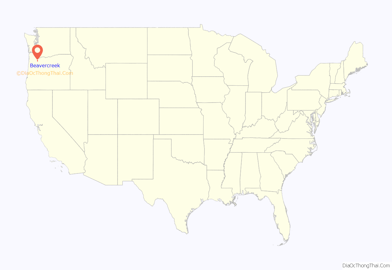
Beavercreek location map. Where is Beavercreek CDP?
History
According to Oregon Geographic Names, the name “Beaver Creek” was first used for a school district in this area in the early 1850s. It was named for the creek that flows through the community and into the Willamette River. A post office operated under various names in the locality until 1922, when the name was changed to Beavercreek, the form still used today. Beavercreek’s ZIP code is 97004.
In the summer of 2006, the citizens of Beavercreek voted to become Oregon’s first hamlet, a system of quasi-government which exists in Clackamas County, Oregon. A final hearing by the board of county commissioners on the formation of the hamlet took place in September 2006, and officially recognized the community as The Hamlet of Beavercreek. The hamlet holds monthly community meetings at the Beavercreek Grange hall, except for quarterly town hall meetings, which may be held at other locations to accommodate attendance.
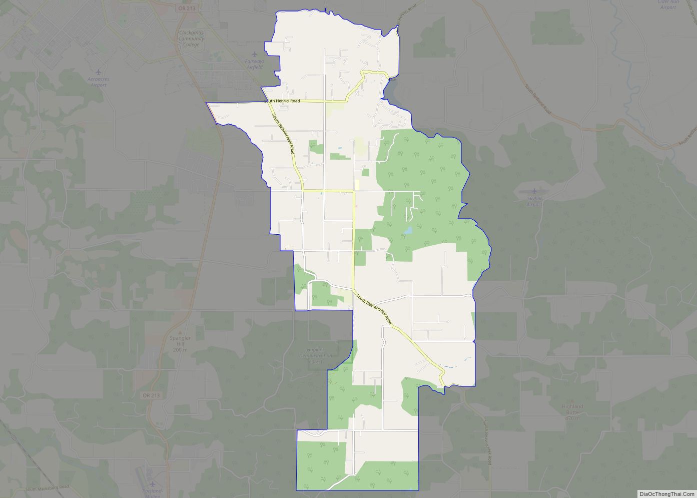
Beavercreek Road Map
Beavercreek city Satellite Map
See also
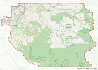
Map of Oregon State and its subdivision: Map of other states:- Alabama
- Alaska
- Arizona
- Arkansas
- California
- Colorado
- Connecticut
- Delaware
- District of Columbia
- Florida
- Georgia
- Hawaii
- Idaho
- Illinois
- Indiana
- Iowa
- Kansas
- Kentucky
- Louisiana
- Maine
- Maryland
- Massachusetts
- Michigan
- Minnesota
- Mississippi
- Missouri
- Montana
- Nebraska
- Nevada
- New Hampshire
- New Jersey
- New Mexico
- New York
- North Carolina
- North Dakota
- Ohio
- Oklahoma
- Oregon
- Pennsylvania
- Rhode Island
- South Carolina
- South Dakota
- Tennessee
- Texas
- Utah
- Vermont
- Virginia
- Washington
- West Virginia
- Wisconsin
- Wyoming
