Black Butte Ranch is a census-designated place (CDP) and unincorporated private resort community in Deschutes County, Oregon, United States. It is located in the Cascade Range, 8 miles (13 km) northwest of Sisters. The population was 366 at the 2010 census. Black Butte Ranch allows public access to its restaurant, golf courses and horse stables, but is primarily oriented to its year-round residents and seasonal guests.
| Name: | Black Butte Ranch CDP |
|---|---|
| LSAD Code: | 57 |
| LSAD Description: | CDP (suffix) |
| State: | Oregon |
| County: | Deschutes County |
| Elevation: | 3,350 ft (1,021 m) |
| Total Area: | 8.22 sq mi (21.29 km²) |
| Land Area: | 8.20 sq mi (21.23 km²) |
| Water Area: | 0.02 sq mi (0.06 km²) |
| Total Population: | 260 |
| Population Density: | 31.72/sq mi (12.25/km²) |
| ZIP code: | 97759 |
| Area code: | 541 |
| FIPS code: | 4106650 |
| GNISfeature ID: | 1138180 |
| Website: | www.blackbutteranch.com |
Online Interactive Map
Click on ![]() to view map in "full screen" mode.
to view map in "full screen" mode.
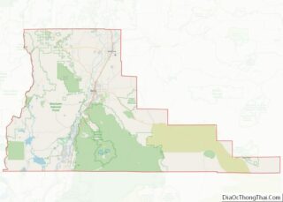
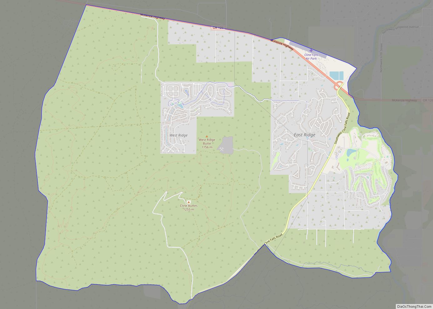
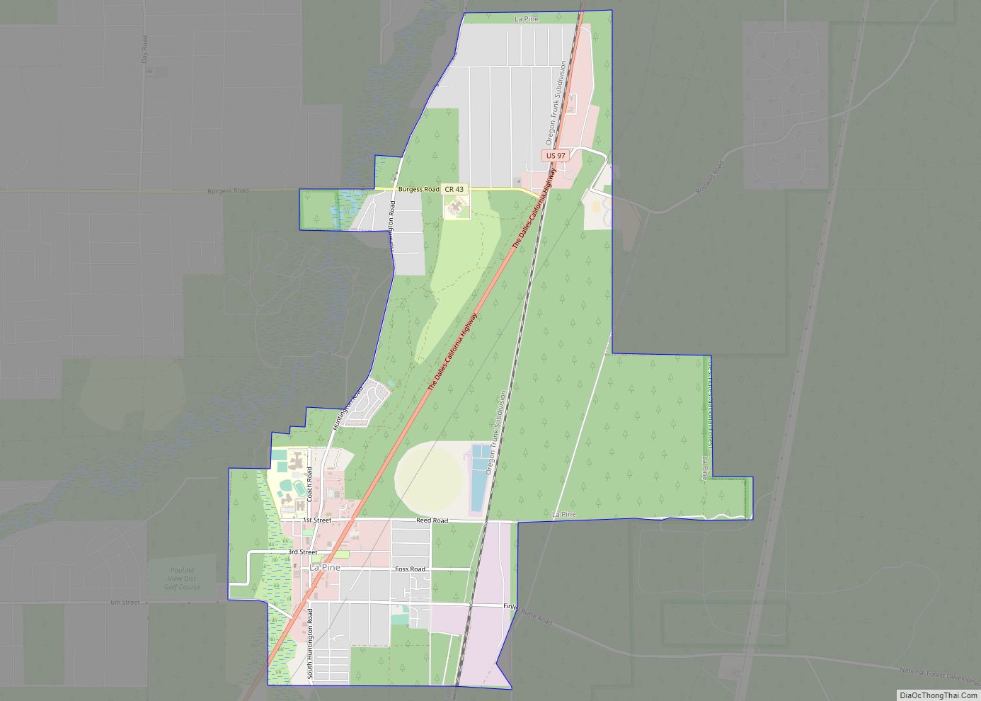
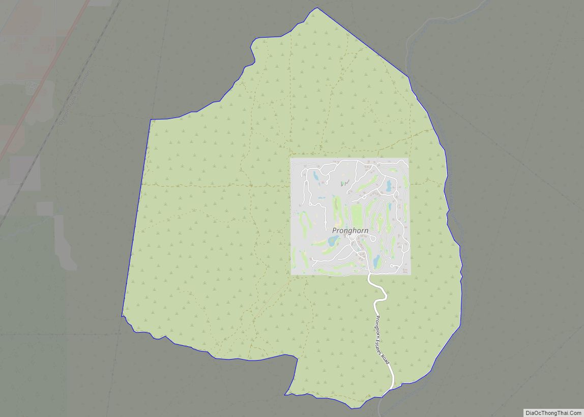
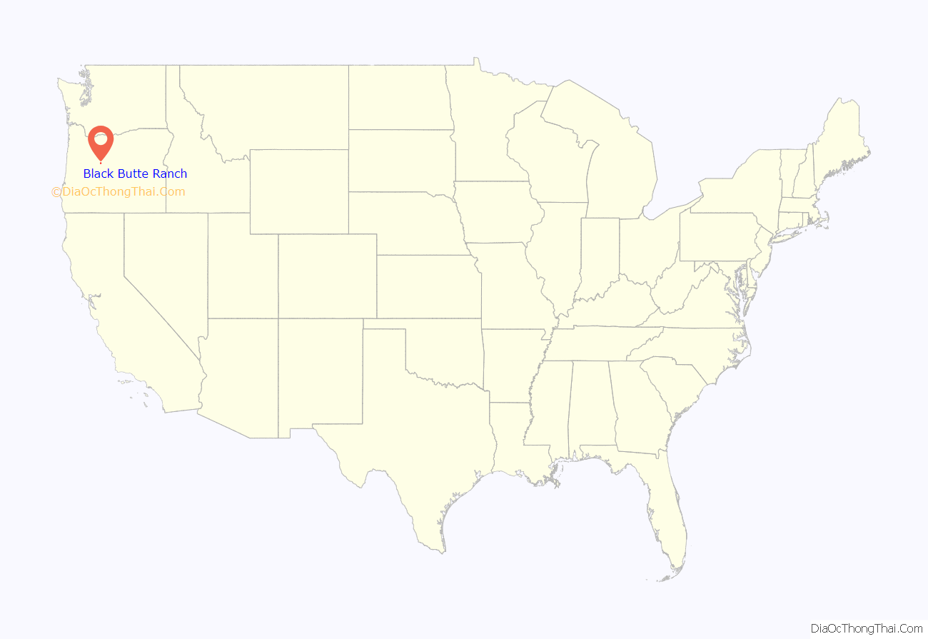
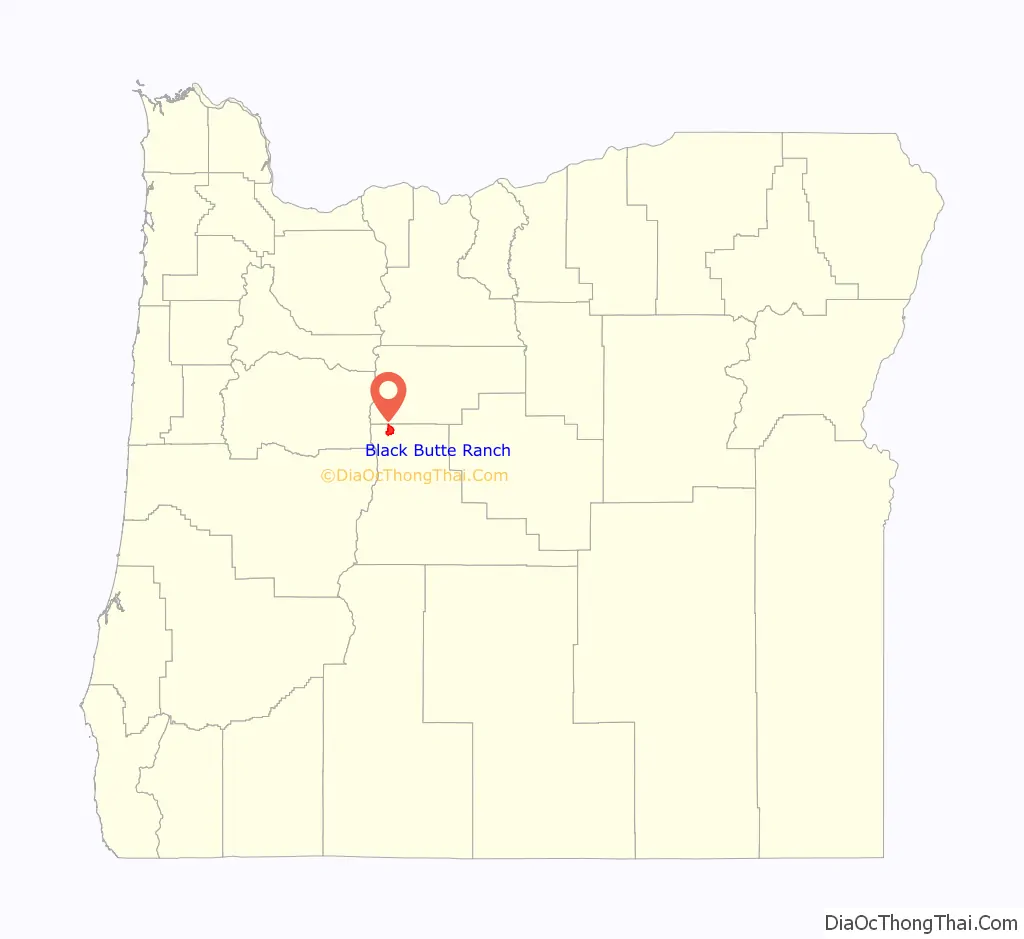
Black Butte Ranch location map. Where is Black Butte Ranch CDP?
History
The planned community of Black Butte Ranch was developed starting in 1970 by Brooks Resources, a subsidiary of Brooks-Scanlon Lumber Company on the site of the former Black Butte cattle ranch directly south of Black Butte. The first residents arrived in 1971 and Black Butte Ranch post office was established the same year.
As of December 2013, the president and CEO of Black Butte Ranch is Scott Huntsman, and the chairman of the Board of Directors is Mark Pilkenton.
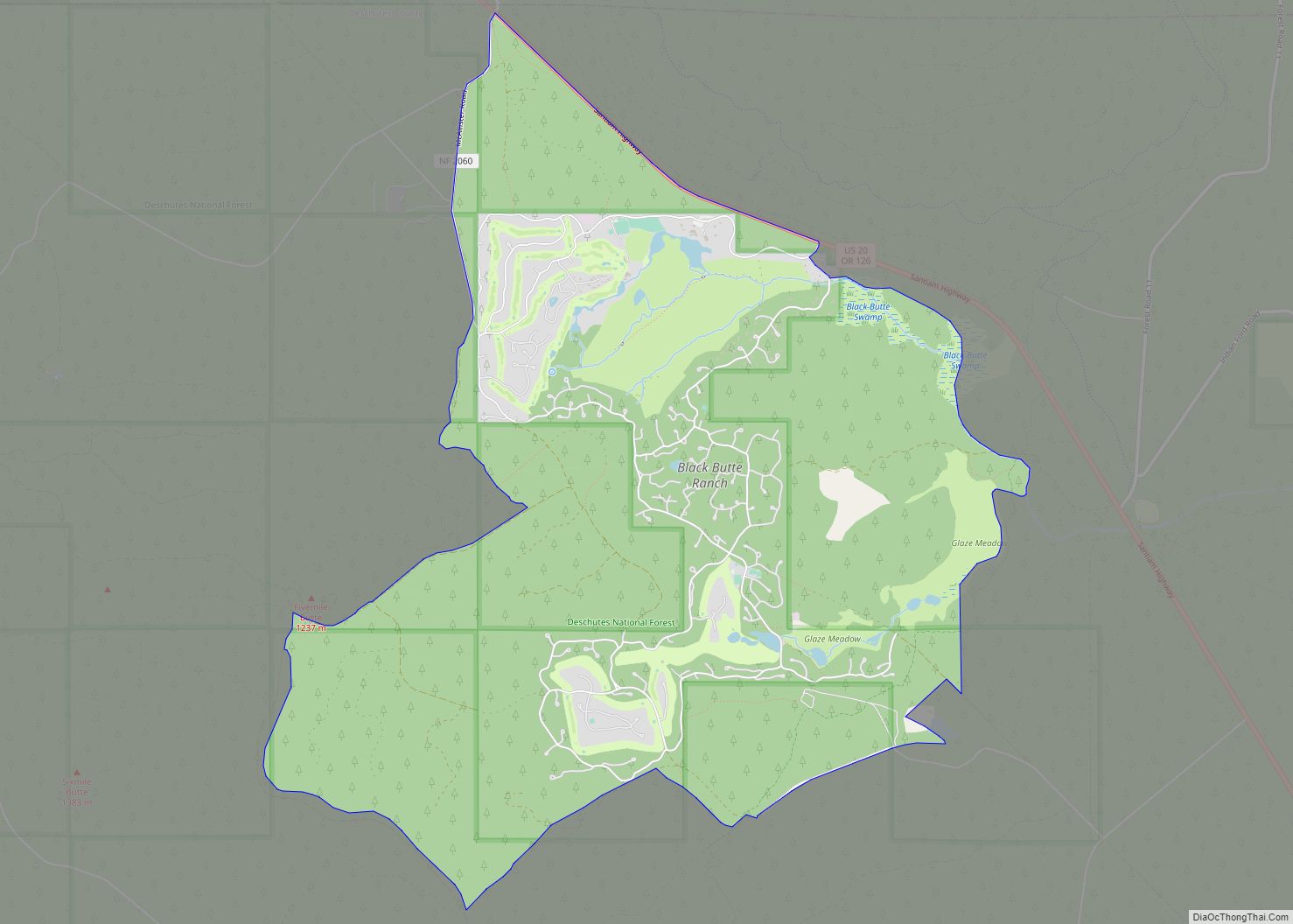
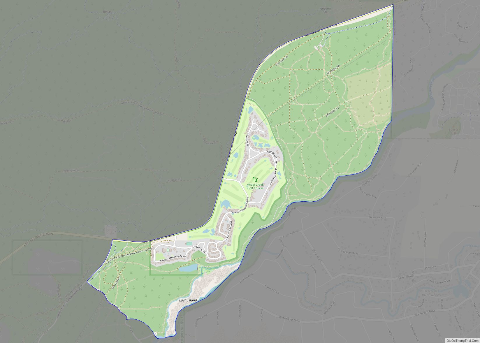
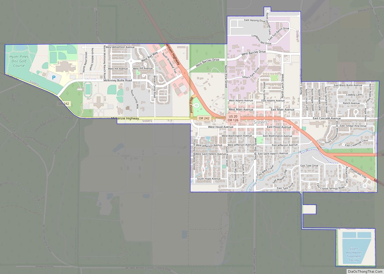
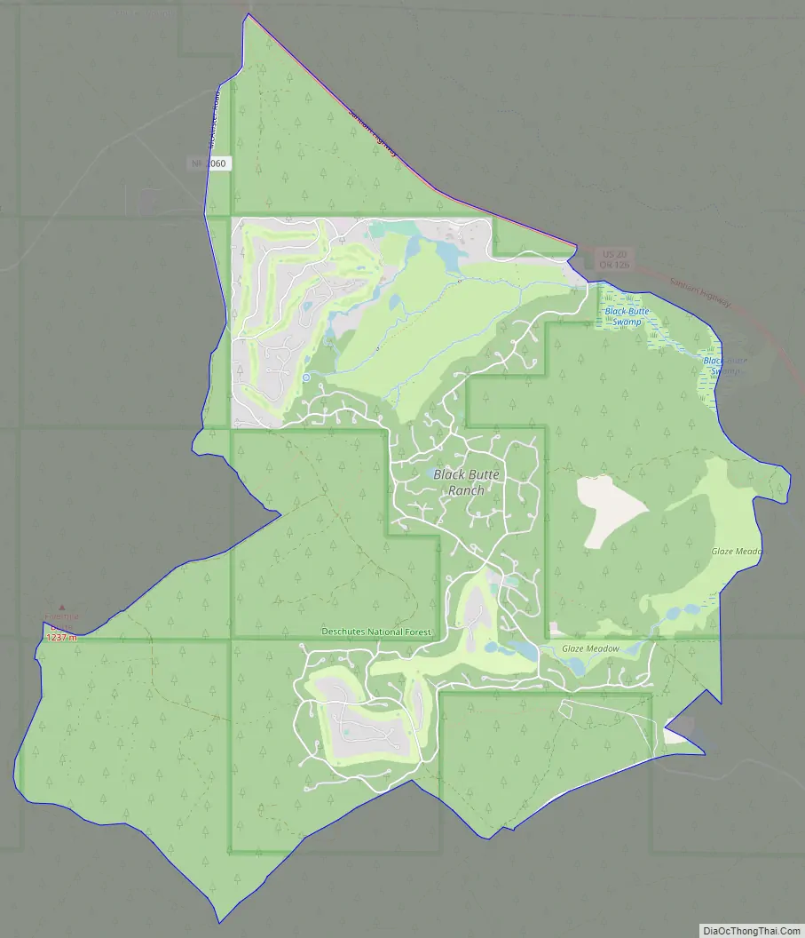
Black Butte Ranch Road Map
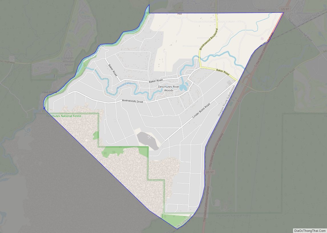
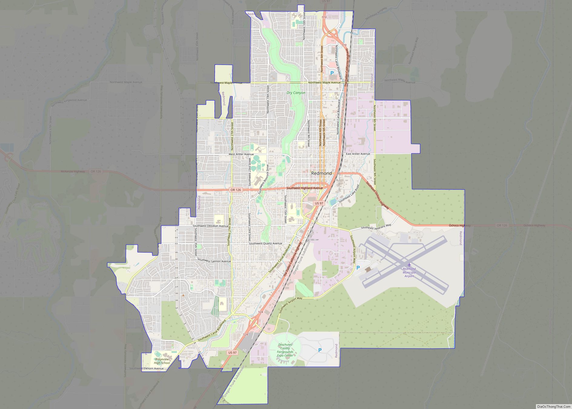
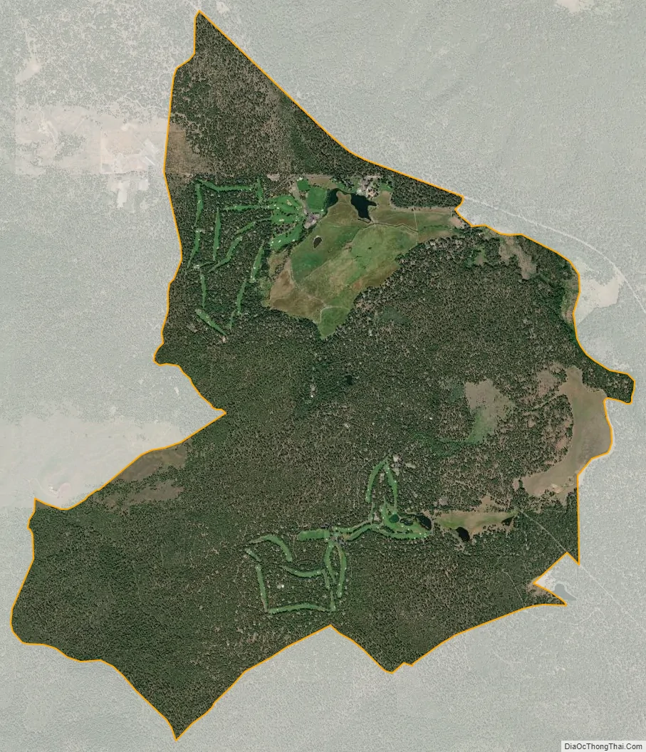
Black Butte Ranch city Satellite Map
Geography
Black Butte Ranch is located in northwestern Deschutes County to the southwest of U.S. Route 20; it is surrounded by Deschutes National Forest. The 6,436-foot (1,962 m) summit of Black Butte overlooks the community to the northeast.
According to the United States Census Bureau, the CDP has a total area of 8.2 square miles (21.3 km), of which 0.02 square miles (0.06 km), or 0.29%, is water. The area drains east via Black Butte Swamp to Indian Ford Creek, then Whychus Creek, then to the Deschutes River, a north-flowing tributary of the Columbia River.
See also
Map of Oregon State and its subdivision: Map of other states:- Alabama
- Alaska
- Arizona
- Arkansas
- California
- Colorado
- Connecticut
- Delaware
- District of Columbia
- Florida
- Georgia
- Hawaii
- Idaho
- Illinois
- Indiana
- Iowa
- Kansas
- Kentucky
- Louisiana
- Maine
- Maryland
- Massachusetts
- Michigan
- Minnesota
- Mississippi
- Missouri
- Montana
- Nebraska
- Nevada
- New Hampshire
- New Jersey
- New Mexico
- New York
- North Carolina
- North Dakota
- Ohio
- Oklahoma
- Oregon
- Pennsylvania
- Rhode Island
- South Carolina
- South Dakota
- Tennessee
- Texas
- Utah
- Vermont
- Virginia
- Washington
- West Virginia
- Wisconsin
- Wyoming