Coburg is a city (and a National Historic District) in Lane County, Oregon, United States, 8 miles (13 km) north of Eugene. The city’s population as of the 2020 census was 1,306. Founded in 1847, Coburg has retained the characteristics of traditional small town with walkable and close ties to the surrounding farming communities that stretch in all directions. Maintaining these characteristics is the central part of the city’s community vision process completed in 2017. (source: Travel Lane County and City of Coburg)
| Name: | Coburg city |
|---|---|
| LSAD Code: | 25 |
| LSAD Description: | city (suffix) |
| State: | Oregon |
| County: | Lane County |
| Incorporated: | 1893 |
| Elevation: | 398 ft (121 m) |
| Total Area: | 1.03 sq mi (2.66 km²) |
| Land Area: | 1.03 sq mi (2.66 km²) |
| Water Area: | 0.00 sq mi (0.00 km²) |
| Total Population: | 1,306 |
| Population Density: | 1,270.43/sq mi (490.57/km²) |
| ZIP code: | 97408 |
| Area code: | 458 and 541 |
| FIPS code: | 4114400 |
| GNISfeature ID: | 1119067 |
| Website: | www.coburgoregon.org |
Online Interactive Map
Click on ![]() to view map in "full screen" mode.
to view map in "full screen" mode.
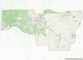
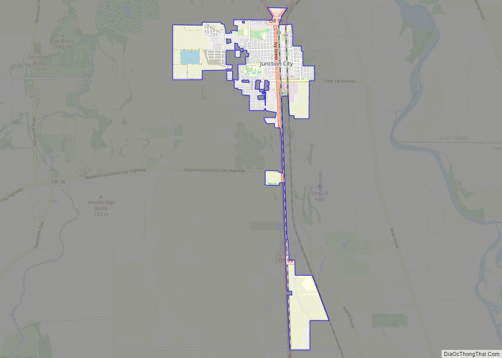
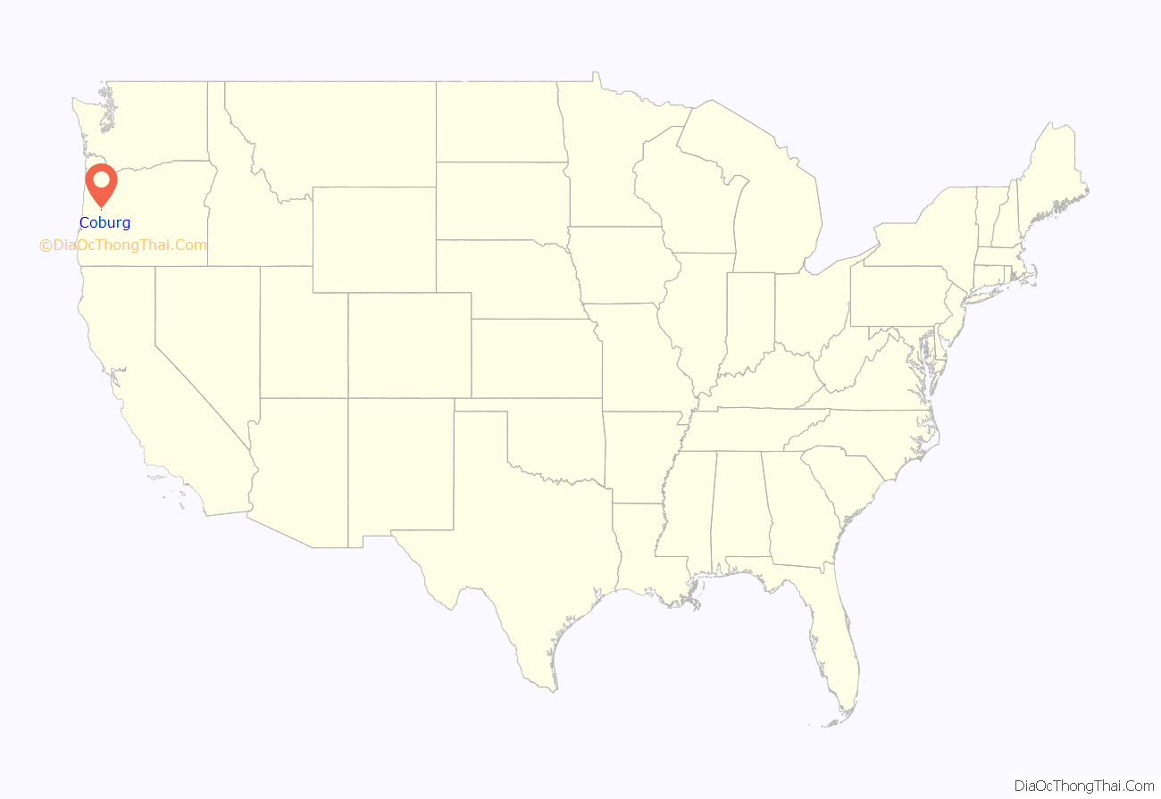
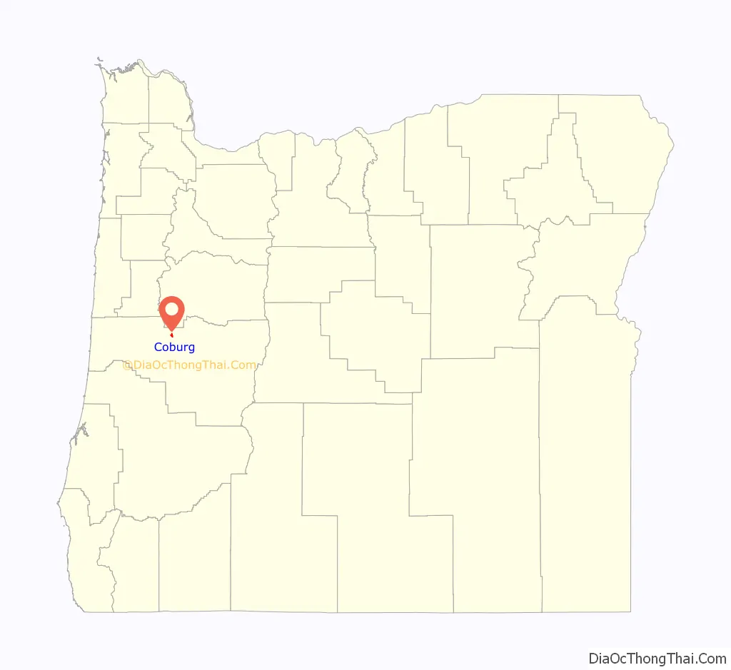
Coburg location map. Where is Coburg city?
History
The city was originally named Diamond after John Diamond, an early pioneer in the area, on whose land claim the city was located. The city’s current name comes from a stallion that was named after the Coburg district of Bavaria, Germany, from whence the horse had been imported. The Coburg Historic District was placed on the National Register of Historic Places in 1986. The period of significance of the buildings in the district dates back to 1875. The City installed a sewer system in 2011 to 2015, leading to a new period of growth in both residential and commercial investment.
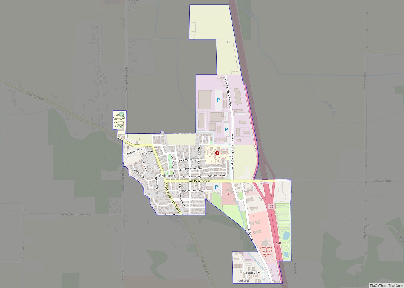
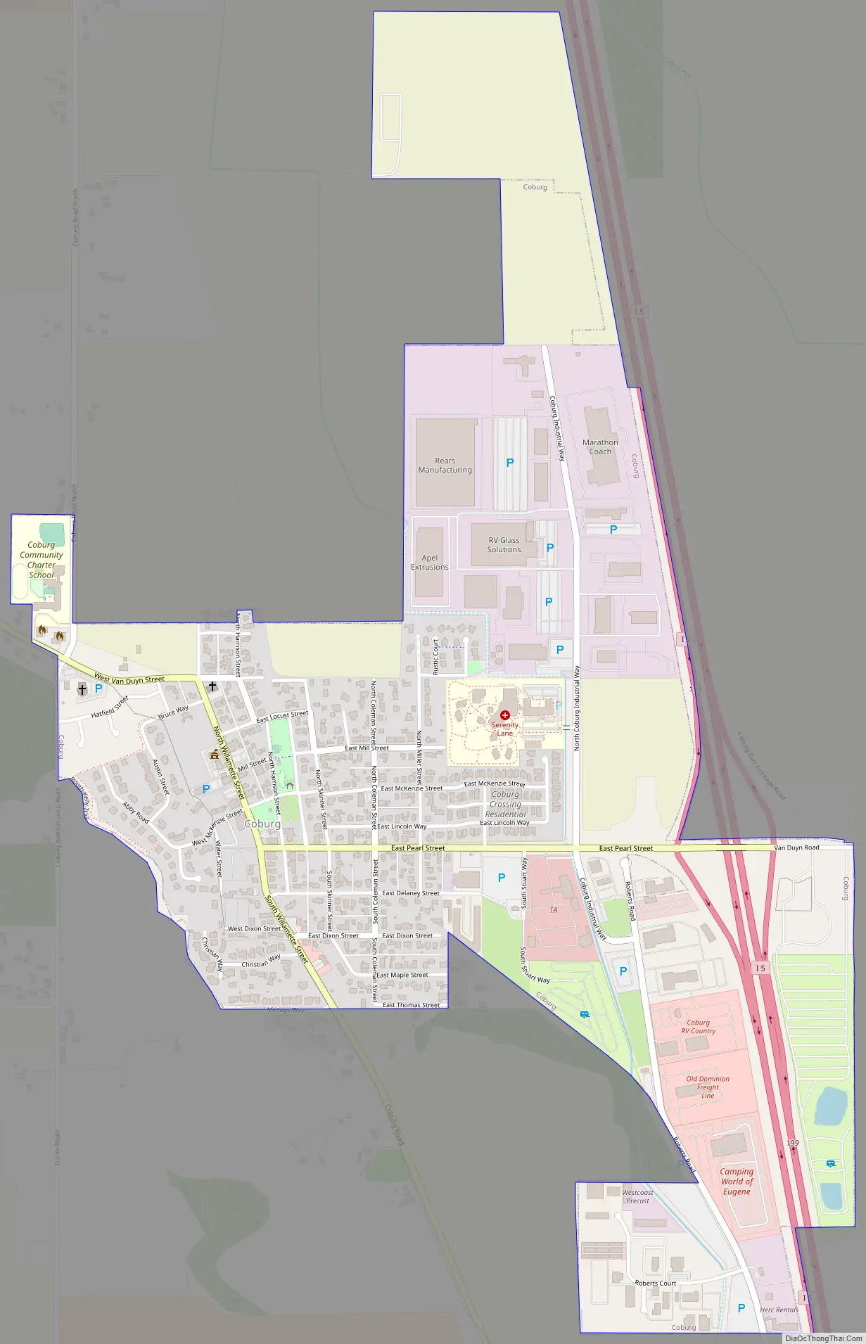
Coburg Road Map
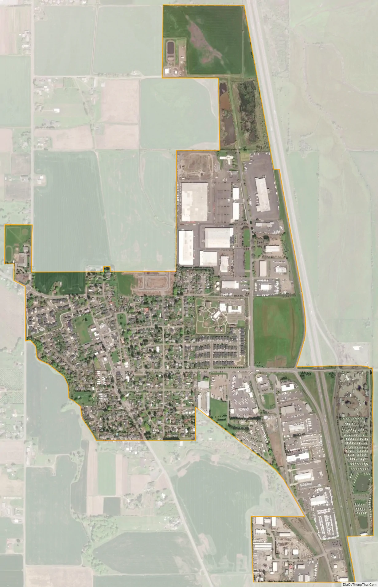
Coburg city Satellite Map
Geography
According to the United States Census Bureau, the city has a total area of 0.95 square miles (2.46 km), all of it land.
Coburg is situated near the Coburg Hills.
See also
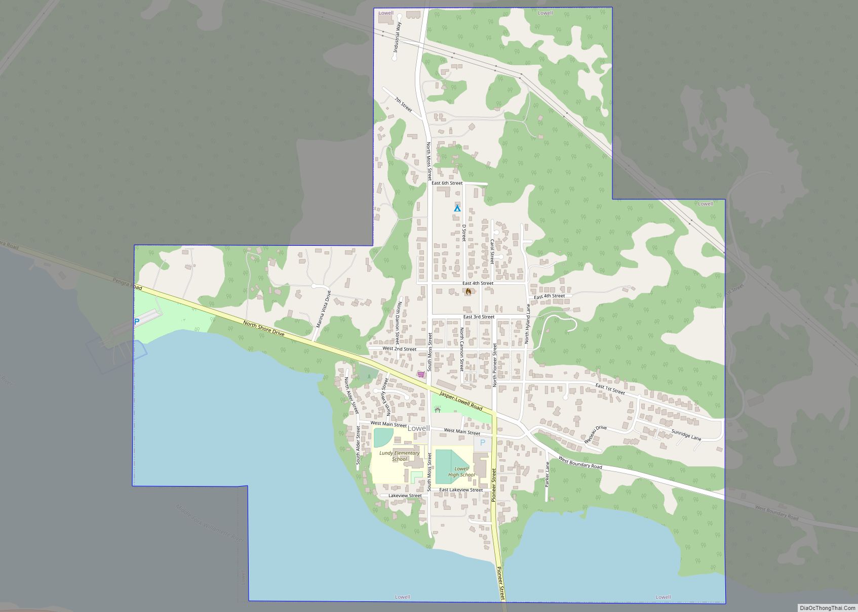
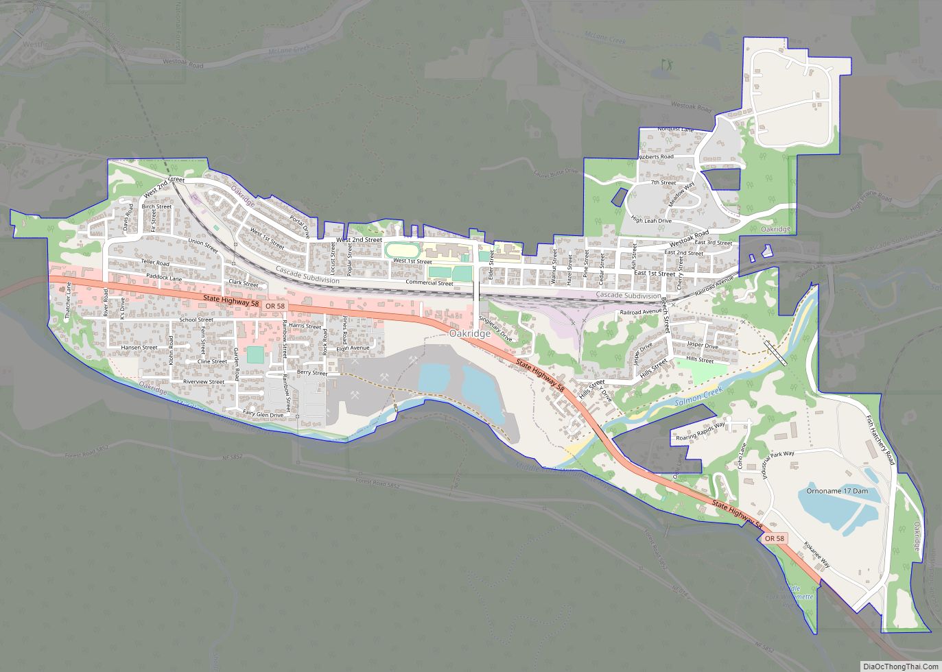
Map of Oregon State and its subdivision: Map of other states:- Alabama
- Alaska
- Arizona
- Arkansas
- California
- Colorado
- Connecticut
- Delaware
- District of Columbia
- Florida
- Georgia
- Hawaii
- Idaho
- Illinois
- Indiana
- Iowa
- Kansas
- Kentucky
- Louisiana
- Maine
- Maryland
- Massachusetts
- Michigan
- Minnesota
- Mississippi
- Missouri
- Montana
- Nebraska
- Nevada
- New Hampshire
- New Jersey
- New Mexico
- New York
- North Carolina
- North Dakota
- Ohio
- Oklahoma
- Oregon
- Pennsylvania
- Rhode Island
- South Carolina
- South Dakota
- Tennessee
- Texas
- Utah
- Vermont
- Virginia
- Washington
- West Virginia
- Wisconsin
- Wyoming