Cottage Grove is a city in Lane County, Oregon, United States. Its population was 10,643 at the 2020 census. It is the third largest city in Lane County. It is on Interstate 5, Oregon Route 99, and the main Willamette Valley line of the CORP railroad.
| Name: | Cottage Grove city |
|---|---|
| LSAD Code: | 25 |
| LSAD Description: | city (suffix) |
| State: | Oregon |
| County: | Lane County |
| Incorporated: | 1887 |
| Elevation: | 640 ft (195 m) |
| Total Area: | 3.89 sq mi (10.08 km²) |
| Land Area: | 3.87 sq mi (10.01 km²) |
| Water Area: | 0.03 sq mi (0.07 km²) |
| Total Population: | 10,574 |
| Population Density: | 2,735.83/sq mi (1,056.32/km²) |
| ZIP code: | 97424, 97472 |
| Area code: | 541 |
| FIPS code: | 4115950 |
| GNISfeature ID: | 1166636 |
| Website: | www.cottagegrove.org |
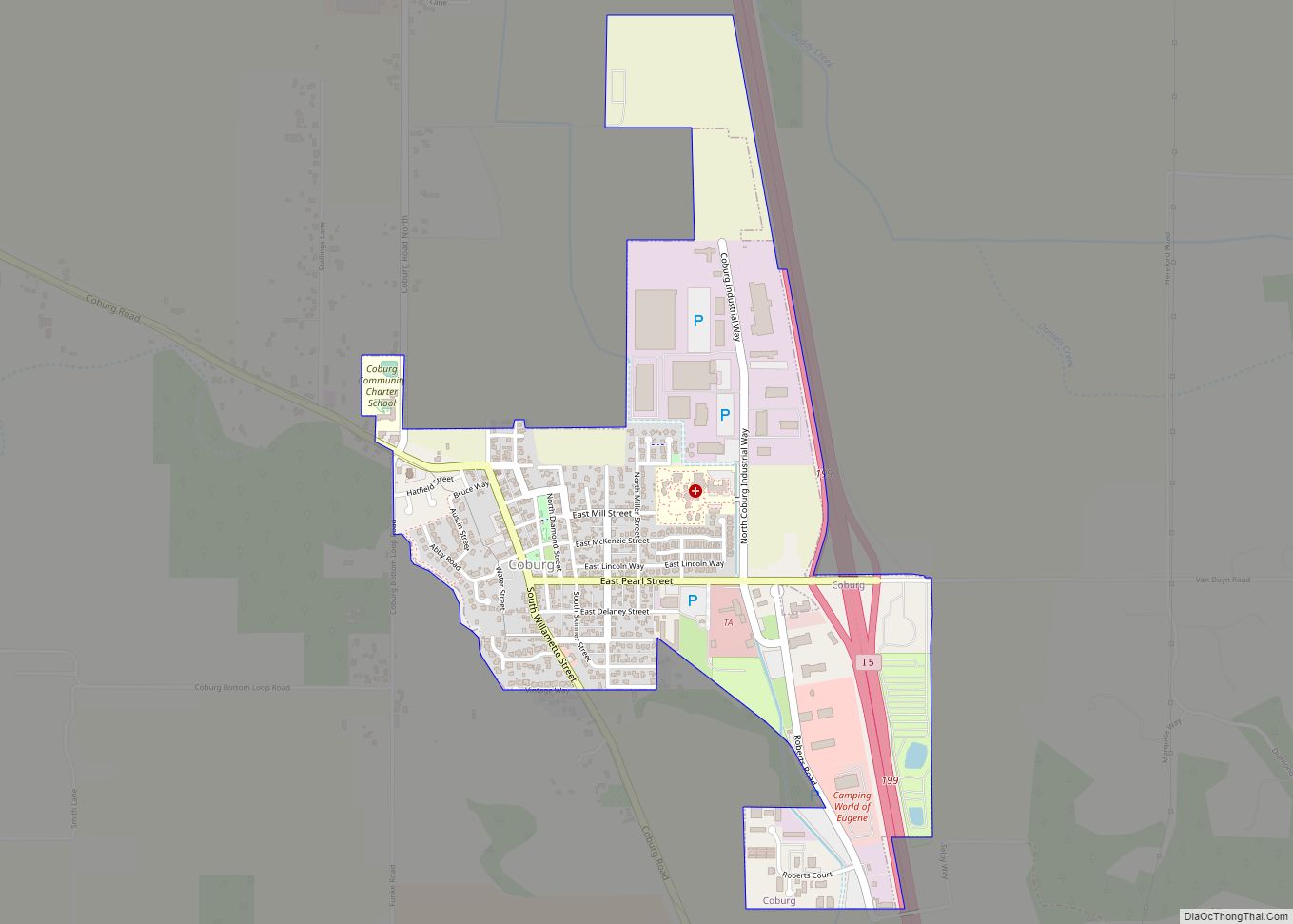
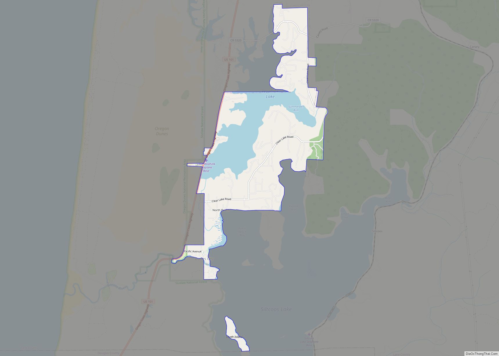
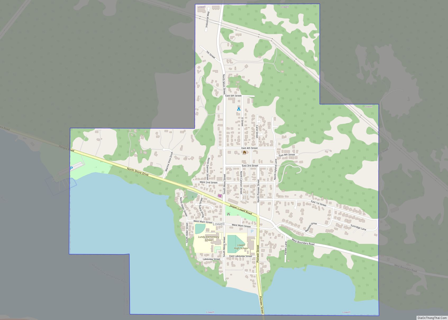
Online Interactive Map
Click on ![]() to view map in "full screen" mode.
to view map in "full screen" mode.
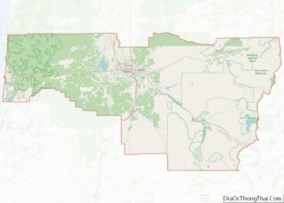
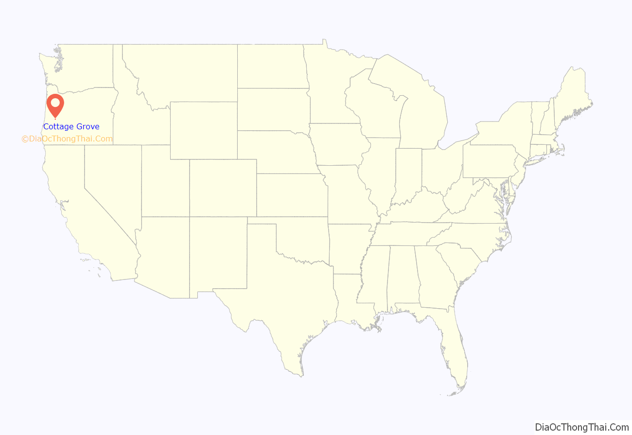
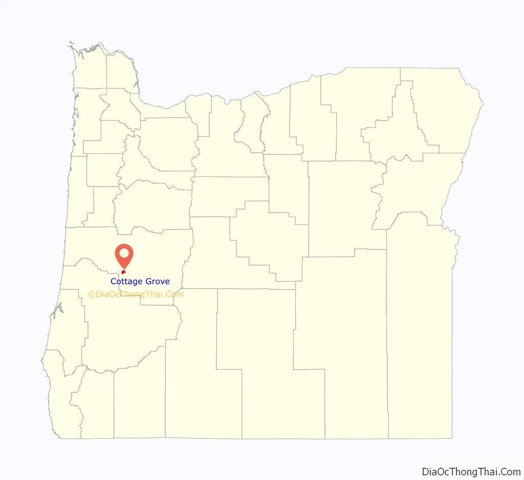
Cottage Grove location map. Where is Cottage Grove city?
History
Cottage Grove is located on the lands of the Kiikaapoi (Kickapoo), Caddo, and Wichita nations of Native Americans.
Cottage Grove post office was established in 1855 east of present-day Creswell. It was named by its first postmaster, G. C. Pearce, whose home was in an oak grove. In 1861, the office was moved to the present site of Saginaw; then in the late 1860s, to the southwestern-most part of present-day Cottage Grove, on the west bank of the Coast Fork Willamette River. When the Southern Pacific railroad was built through the area in the 1870s, Cottage Grove station was placed more than half a mile northeast of the post office, on the river’s east side. This was the start of a neighborhood dispute that lasted for nearly 20 years. The people living near the post office did not want it moved to the railroad station, so a new office was established at the station with the name Lemati, a Chinook Jargon word that means “mountain”. Lemati office ran from November 1893 to September 1894, but in March 1898 the Cottage Grove office was renamed Lemati, and ran that way until it was permanently renamed Cottage Grove in May 1898.
The only existing covered railroad bridge west of the Mississippi River, the National Register of Historic Places-listed Chambers Railroad Bridge, is in Cottage Grove. The city restored it in 2011, reopening it on December 3.
Cottage Grove received the All-America City Award by the National Civic League in 1968 and 2004. It has been recognized as a Tree City USA by The Arbor Day Foundation for over a decade. In October 2008, it was the 17th city in the United States to be recognized as a Green Power Community.
Lemati
Cottage Grove was incorporated in 1887, but the people on its east side rebelled in 1893 and founded East Cottage Grove. The Oregon State Legislature changed its name to Lemati in 1895; the train station’s signboard said “Cottage Grove”, and “Lemati” in smaller letters. In 1899 an act was passed that consolidated the two towns as Cottage Grove.
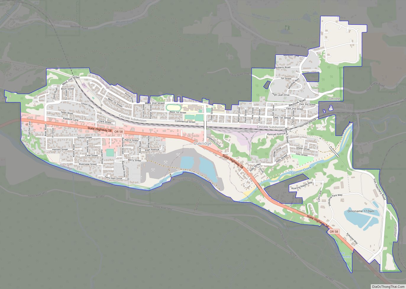
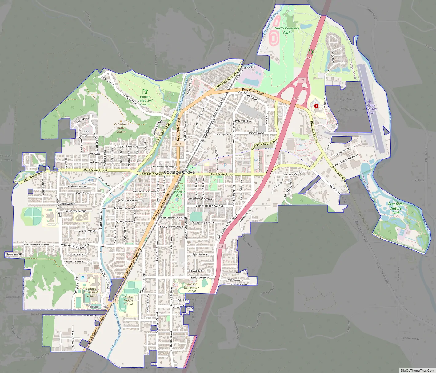
Cottage Grove Road Map
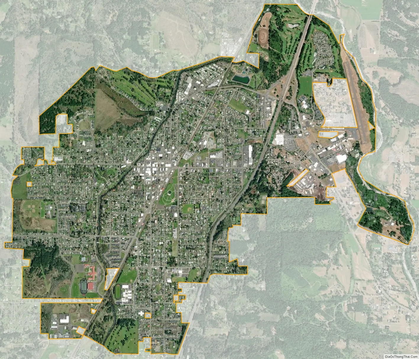
Cottage Grove city Satellite Map
Geography
According to the United States Census Bureau, the city has a total area of 3.77 square miles (9.76 km), of which, 3.76 square miles (9.74 km) is land and 0.01 square miles (0.03 km) is water.
Cottage Grove lies south of the confluence of the Row River and the Coast Fork of the Willamette River. This confluence effectively marks the southern end of the Willamette Valley.
Climate
This region experiences warm (but not hot) and dry summers, with no average monthly temperatures above 71.6 °F (22.0 °C). According to the Köppen Climate Classification system, Cottage Grove has a warm-summer Mediterranean climate, abbreviated “Csb” on climate maps.
See also
Map of Oregon State and its subdivision: Map of other states:- Alabama
- Alaska
- Arizona
- Arkansas
- California
- Colorado
- Connecticut
- Delaware
- District of Columbia
- Florida
- Georgia
- Hawaii
- Idaho
- Illinois
- Indiana
- Iowa
- Kansas
- Kentucky
- Louisiana
- Maine
- Maryland
- Massachusetts
- Michigan
- Minnesota
- Mississippi
- Missouri
- Montana
- Nebraska
- Nevada
- New Hampshire
- New Jersey
- New Mexico
- New York
- North Carolina
- North Dakota
- Ohio
- Oklahoma
- Oregon
- Pennsylvania
- Rhode Island
- South Carolina
- South Dakota
- Tennessee
- Texas
- Utah
- Vermont
- Virginia
- Washington
- West Virginia
- Wisconsin
- Wyoming