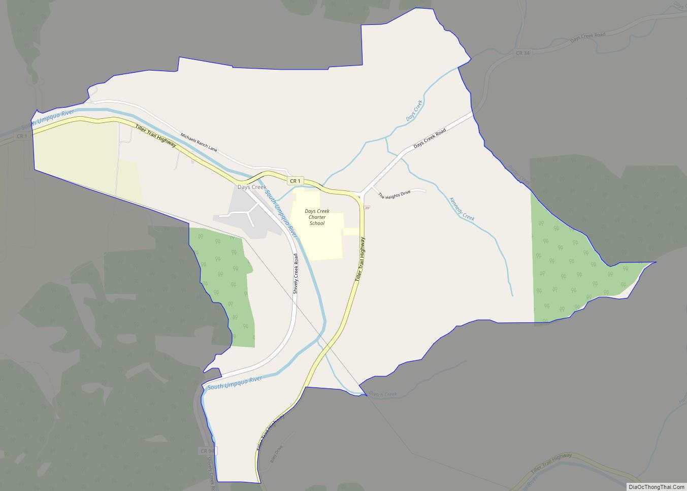
Days Creek is an unincorporated community and census-designated place in Douglas County, Oregon, United States. At the 2010 census it had a population of 272.
The community was named after the local creek, which in turn was named for Patrick and George Day, who settled near its mouth in 1851. The post office was established in 1878 as “Day’s Creek”, but the name was changed to “Days Creek” c. 1890.
| Name: | Days Creek CDP |
|---|---|
| LSAD Code: | 57 |
| LSAD Description: | CDP (suffix) |
| State: | Oregon |
| County: | Douglas County |
| Elevation: | 770 ft (230 m) |
| Total Area: | 2.36 sq mi (6.10 km²) |
| Land Area: | 2.36 sq mi (6.10 km²) |
| Water Area: | 0.00 sq mi (0.00 km²) |
| Total Population: | 271 |
| Population Density: | 115.03/sq mi (44.41/km²) |
| ZIP code: | 97429 |
| Area code: | 541 |
| FIPS code: | 4118150 |
| GNISfeature ID: | 1119724 |
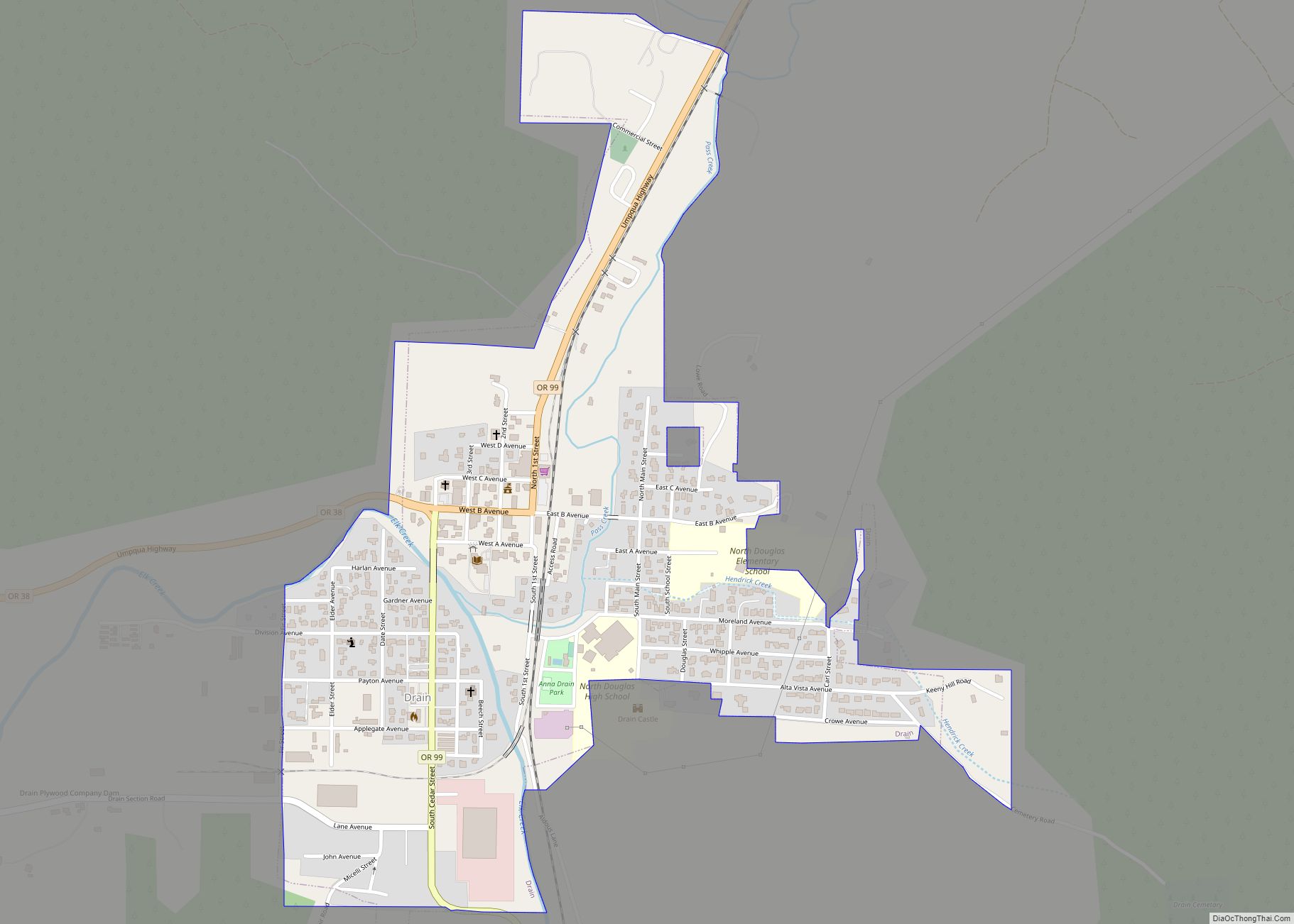
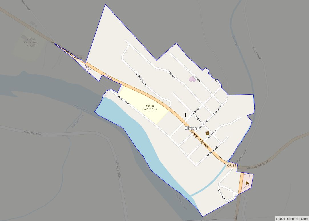
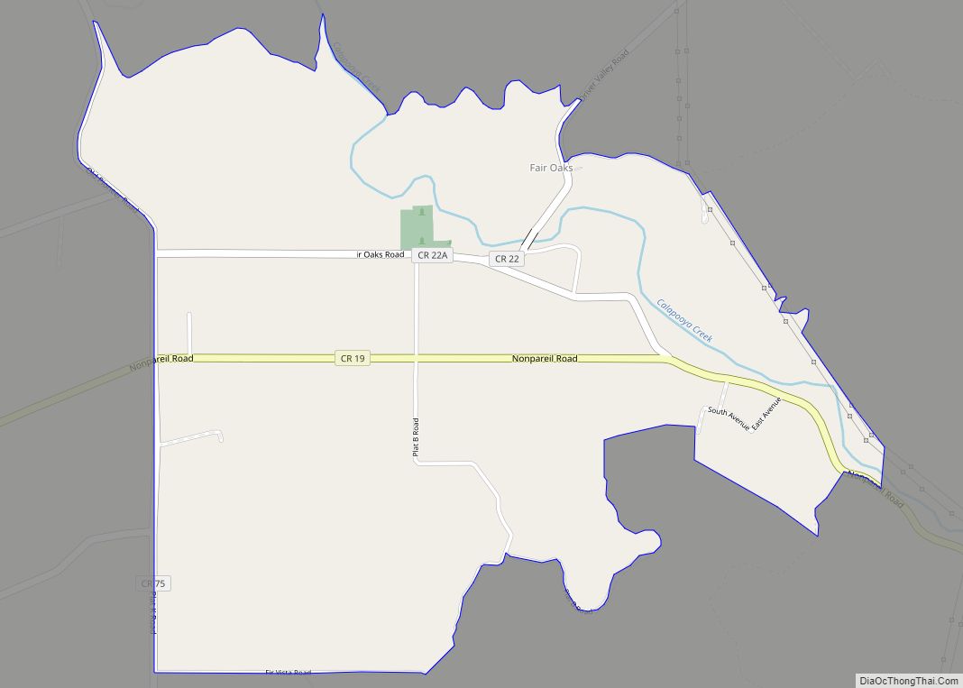
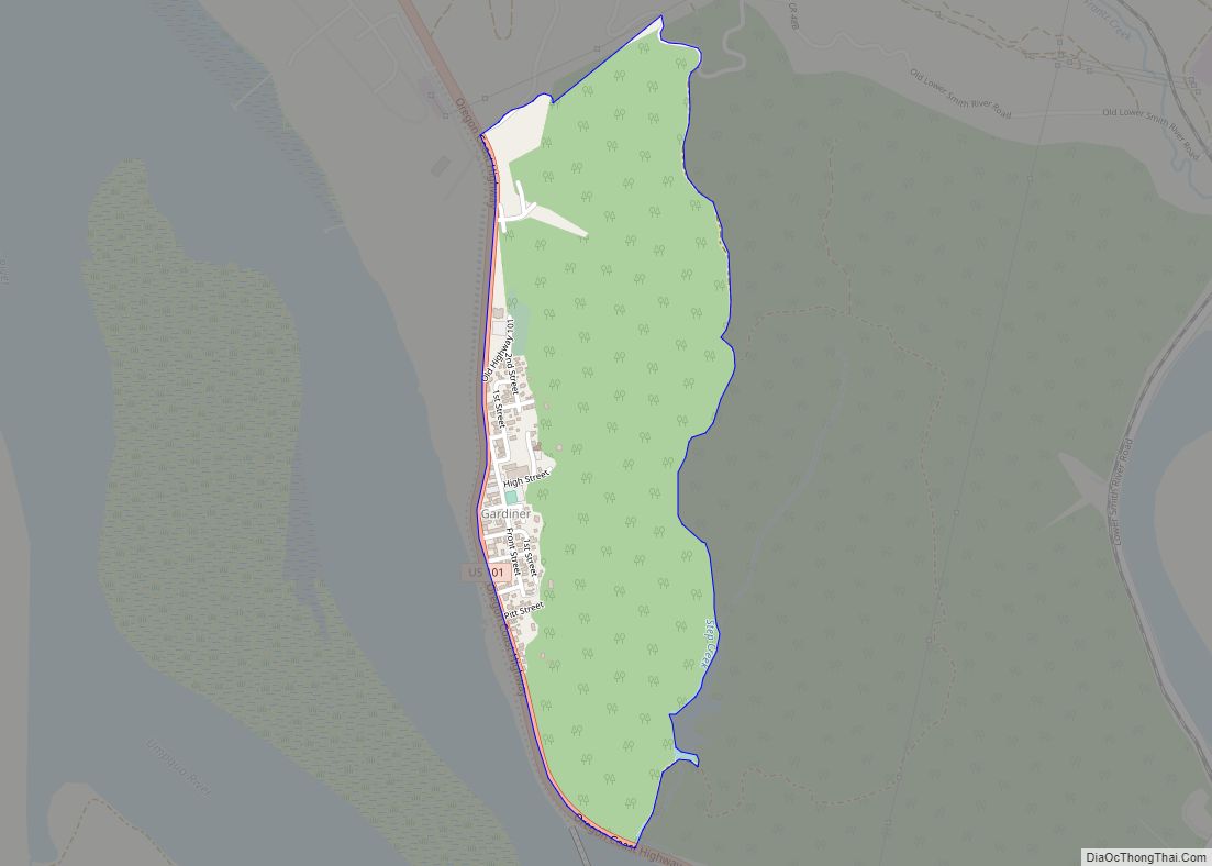
Online Interactive Map
Click on ![]() to view map in "full screen" mode.
to view map in "full screen" mode.
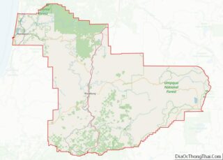
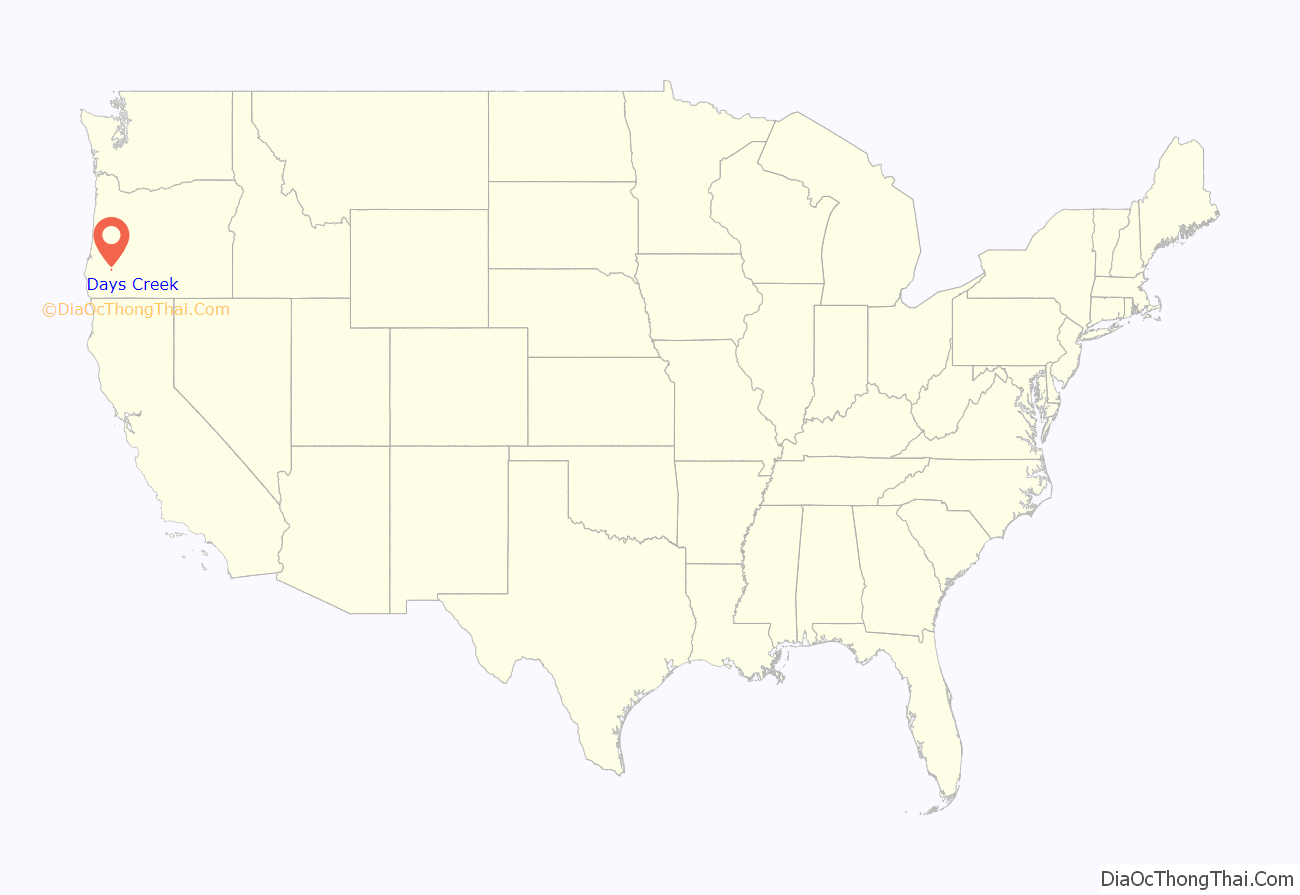
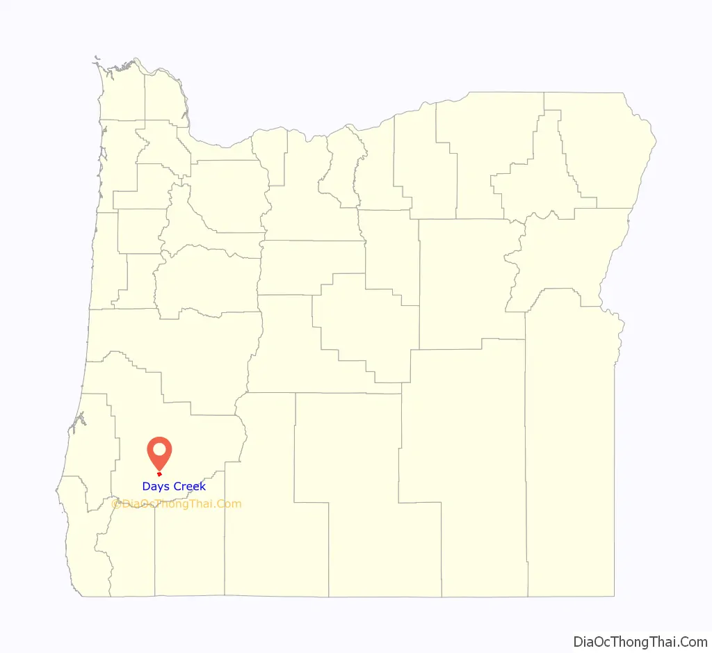
Days Creek location map. Where is Days Creek CDP?
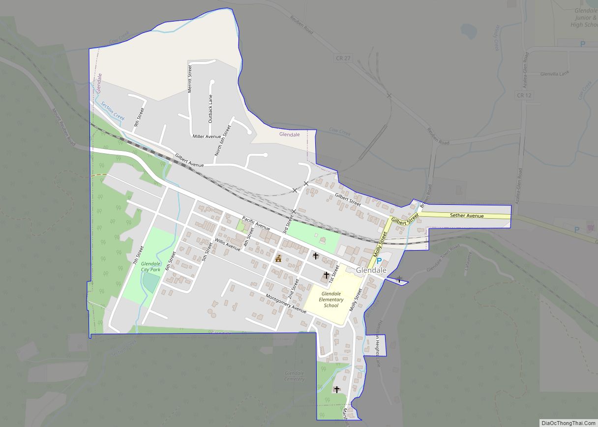
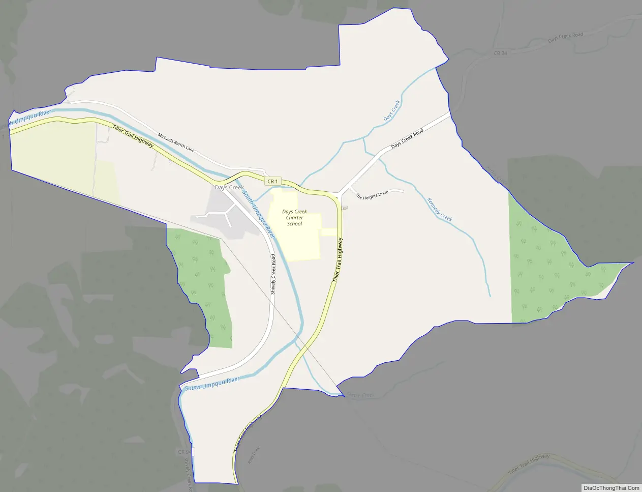
Days Creek Road Map
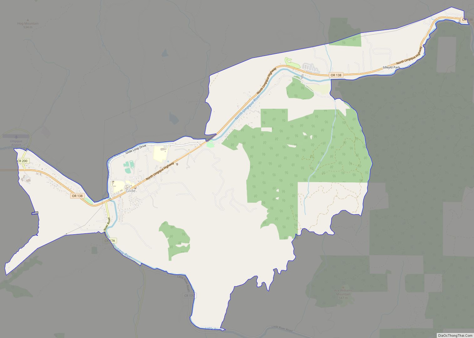
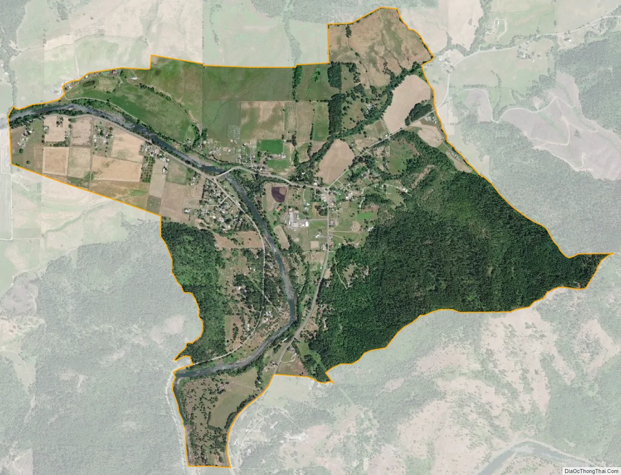
Days Creek city Satellite Map
Geography
The community of Days Creek is located on Oregon Route 227, at the confluence of Days Creek and the South Umpqua River. It is in southern Douglas County, 7 miles (11 km) east (upriver) of Canyonville.
According to the U.S. Census Bureau, the Days Creek CDP has an area of 2.4 square miles (6.1 km), all of it land.
See also
Map of Oregon State and its subdivision: Map of other states:- Alabama
- Alaska
- Arizona
- Arkansas
- California
- Colorado
- Connecticut
- Delaware
- District of Columbia
- Florida
- Georgia
- Hawaii
- Idaho
- Illinois
- Indiana
- Iowa
- Kansas
- Kentucky
- Louisiana
- Maine
- Maryland
- Massachusetts
- Michigan
- Minnesota
- Mississippi
- Missouri
- Montana
- Nebraska
- Nevada
- New Hampshire
- New Jersey
- New Mexico
- New York
- North Carolina
- North Dakota
- Ohio
- Oklahoma
- Oregon
- Pennsylvania
- Rhode Island
- South Carolina
- South Dakota
- Tennessee
- Texas
- Utah
- Vermont
- Virginia
- Washington
- West Virginia
- Wisconsin
- Wyoming