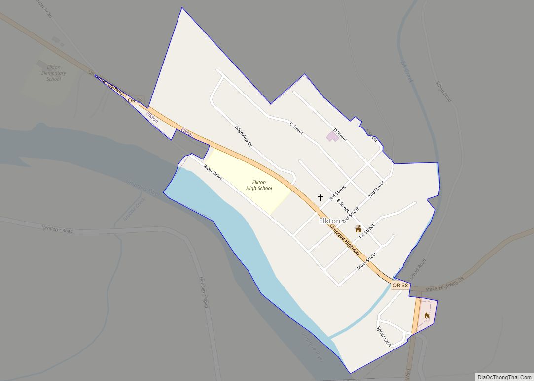
Elkton is a city in Douglas County, Oregon, United States. It is located on the lower Umpqua River, at the junction of Oregon Route 38 and Oregon Route 138, about 20 miles (32 km) west of Interstate 5 and about 14 miles (23 km) west of Drain. The population was 195 at the 2010 census, an increase from 147 people in 2000.
| Name: | Elkton city |
|---|---|
| LSAD Code: | 25 |
| LSAD Description: | city (suffix) |
| State: | Oregon |
| County: | Douglas County |
| Incorporated: | 1948 |
| Elevation: | 138 ft (42 m) |
| Total Area: | 0.26 sq mi (0.67 km²) |
| Land Area: | 0.23 sq mi (0.60 km²) |
| Water Area: | 0.03 sq mi (0.07 km²) |
| Total Population: | 183 |
| Population Density: | 788.79/sq mi (304.75/km²) |
| ZIP code: | 97436 |
| Area code: | 541 |
| FIPS code: | 4122800 |
| GNISfeature ID: | 2410429 |
| Website: | www.elkton-oregon.com |
Online Interactive Map
Click on ![]() to view map in "full screen" mode.
to view map in "full screen" mode.
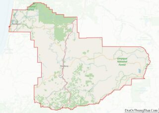
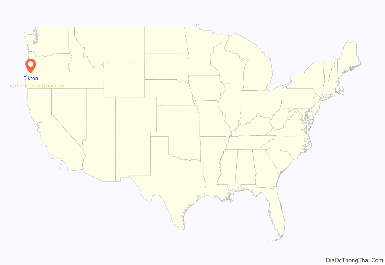
Elkton location map. Where is Elkton city?

History
The Klamath Exploring Expedition founded Elkton around Fort Umpqua, at the mouth of Elk Creek on the Umpqua River, in August 1850. A post office was established at Elkton on September 26, 1851. The settlement became an incorporated city on November 4, 1948.
Elkton Road Map
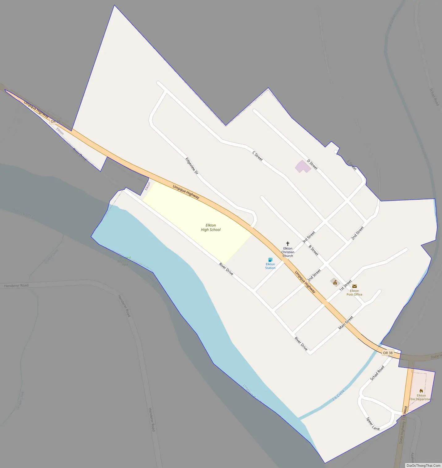
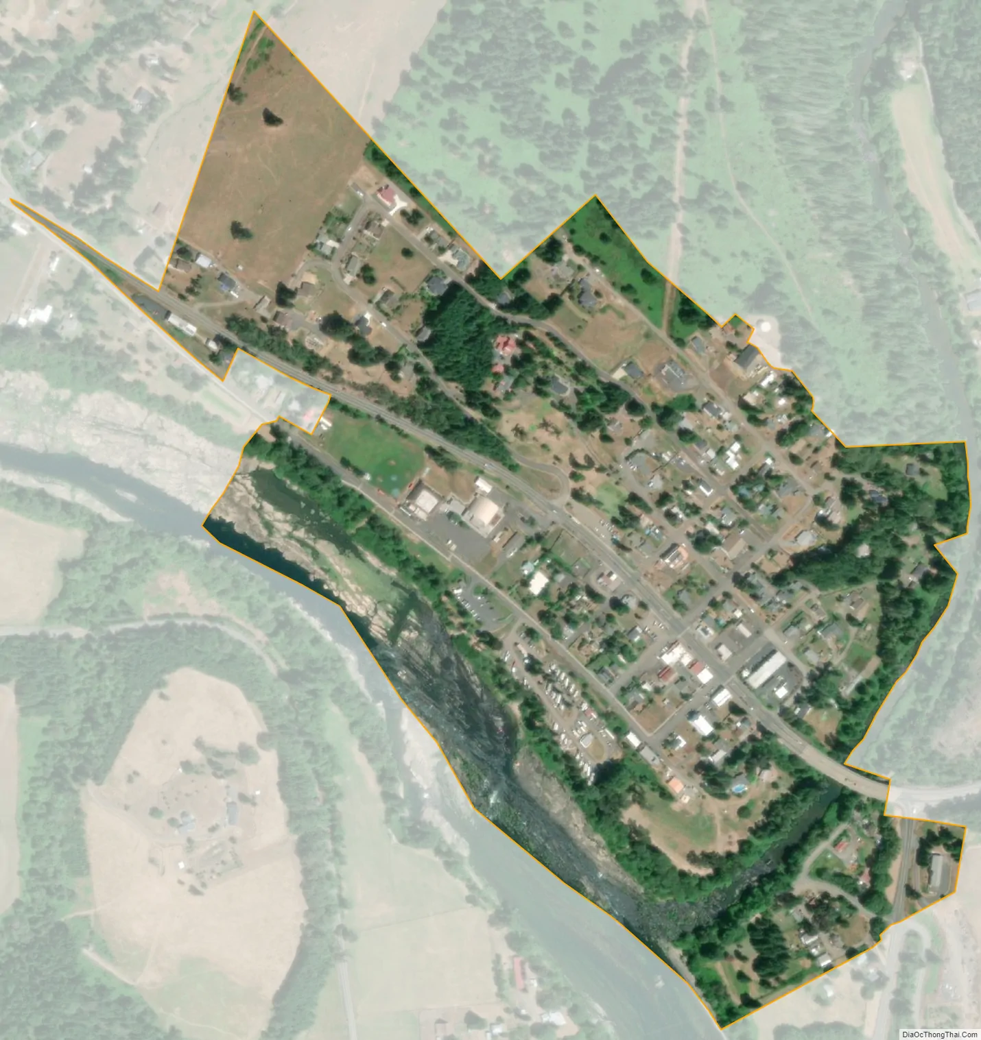
Elkton city Satellite Map
Geography
According to the United States Census Bureau, the city has a total area of 0.26 square miles (0.67 km), of which, 0.23 square miles (0.60 km) is land and 0.03 square miles (0.08 km) is water. The elevation is 141 feet (43 m).
See also
Map of Oregon State and its subdivision: Map of other states:- Alabama
- Alaska
- Arizona
- Arkansas
- California
- Colorado
- Connecticut
- Delaware
- District of Columbia
- Florida
- Georgia
- Hawaii
- Idaho
- Illinois
- Indiana
- Iowa
- Kansas
- Kentucky
- Louisiana
- Maine
- Maryland
- Massachusetts
- Michigan
- Minnesota
- Mississippi
- Missouri
- Montana
- Nebraska
- Nevada
- New Hampshire
- New Jersey
- New Mexico
- New York
- North Carolina
- North Dakota
- Ohio
- Oklahoma
- Oregon
- Pennsylvania
- Rhode Island
- South Carolina
- South Dakota
- Tennessee
- Texas
- Utah
- Vermont
- Virginia
- Washington
- West Virginia
- Wisconsin
- Wyoming