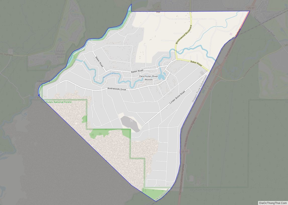
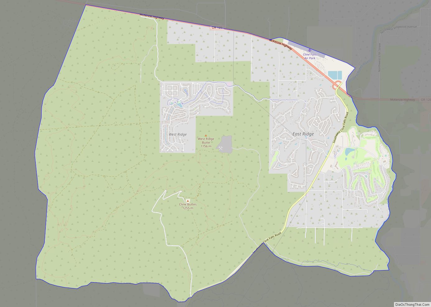
Deschutes River Woods is a census-designated place (CDP) and unincorporated community in Deschutes County, Oregon, United States. It is part of the Bend, Oregon Metropolitan Statistical Area. The population was 5,077 at the 2010 census.
| Name: | Deschutes River Woods CDP |
|---|---|
| LSAD Code: | 57 |
| LSAD Description: | CDP (suffix) |
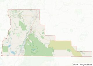
| State: | Oregon |
| County: | Deschutes County |
| Elevation: | 3,921 ft (1,195 m) |
| Total Area: | 6.13 sq mi (15.89 km²) |
| Land Area: | 6.07 sq mi (15.73 km²) |
| Water Area: | 0.06 sq mi (0.16 km²) |
| Total Population: | 5,532 |
| Population Density: | 910.92/sq mi (351.72/km²) |
| FIPS code: | 4119020 |
| GNISfeature ID: | 1867472 |
Online Interactive Map
Click on ![]() to view map in "full screen" mode.
to view map in "full screen" mode.
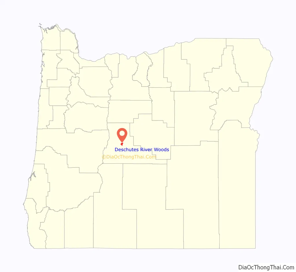
Deschutes River Woods location map. Where is Deschutes River Woods CDP?

History
Deschutes River Woods was originally planned as a hunting and trapping resort, but emerged as a suburb in the 1960s when the land was divided up into 1-to-5-acre (0.40 to 2.02 ha) parcels and re-zoned for family dwellings; since that time the lots have been further sub-divided to 0.25 acres.
Deschutes River Woods Road Map
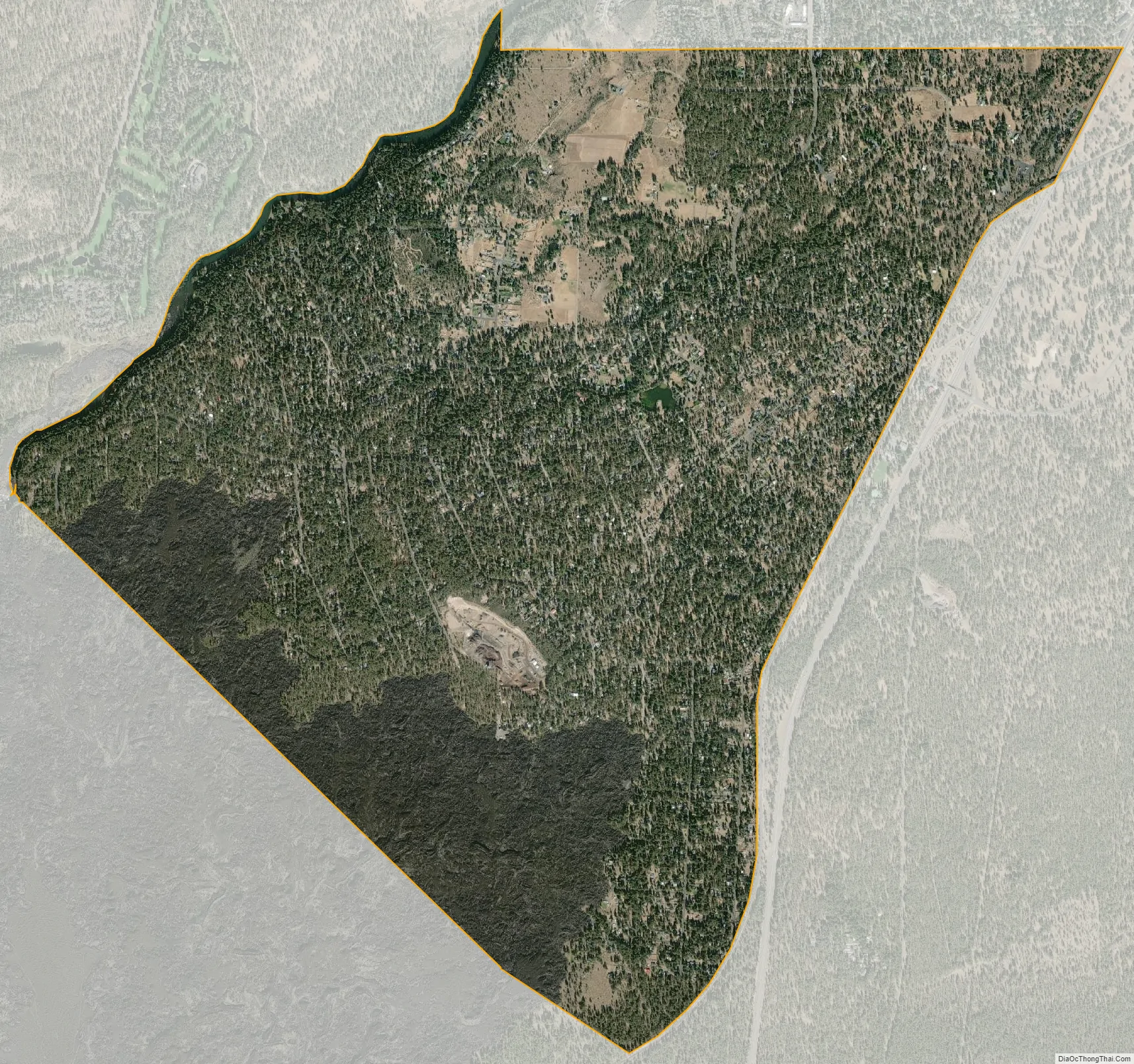
Deschutes River Woods city Satellite Map
Geography
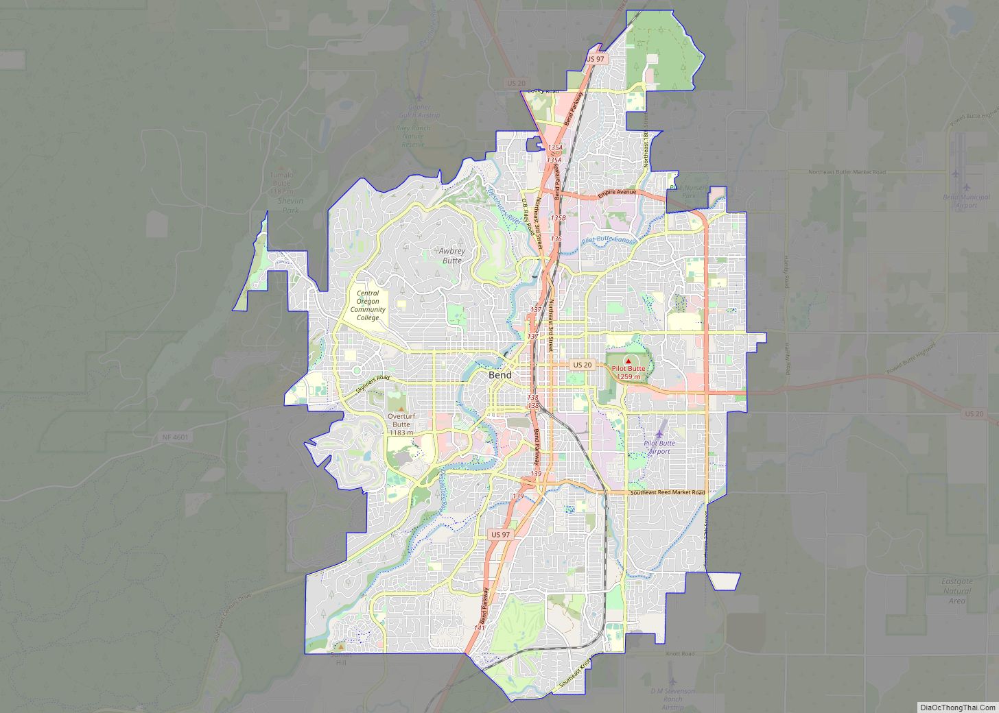
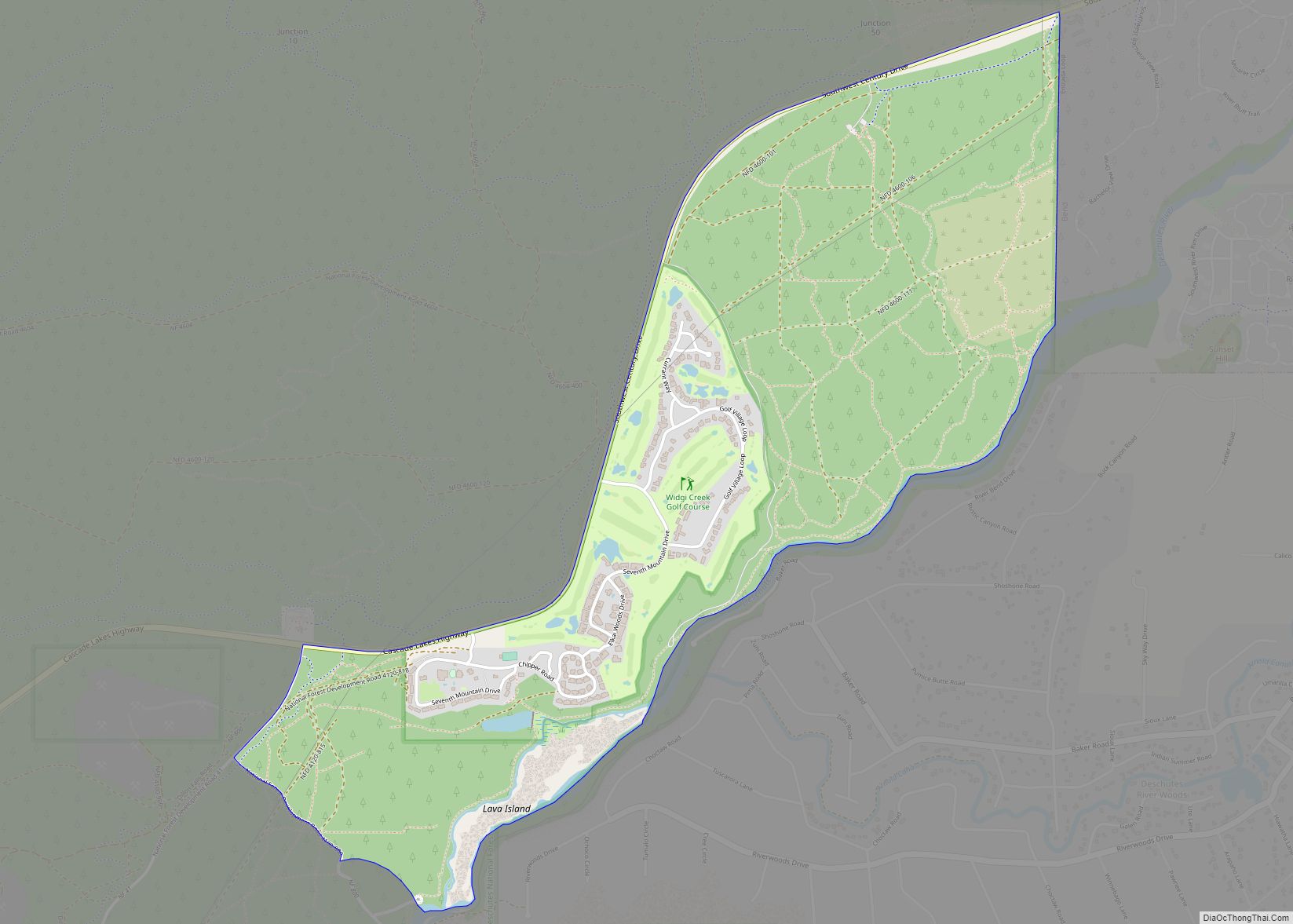
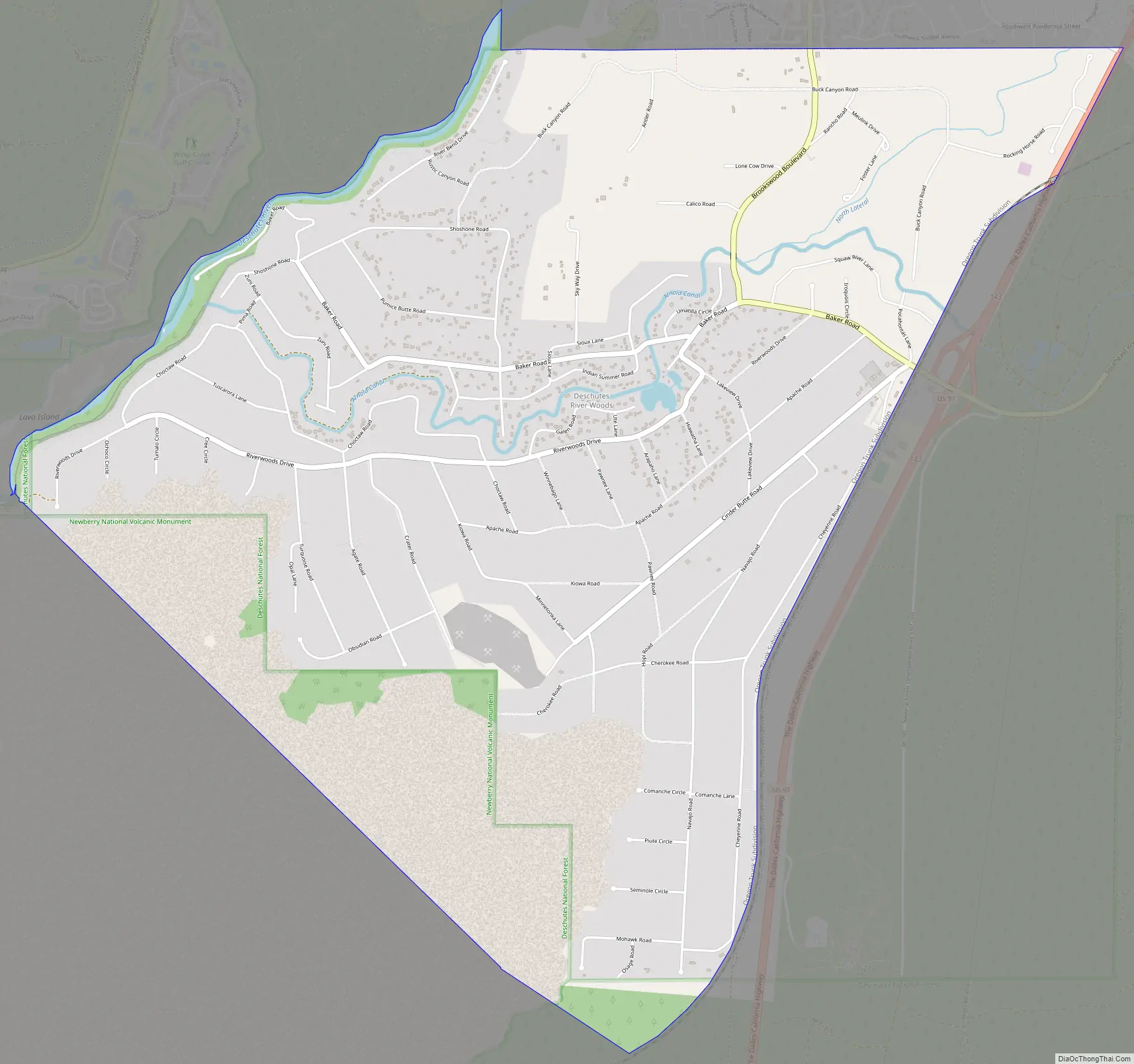
The CDP is located in central Deschutes County, bordering the southwest edge of the city of Bend. The Deschutes River forms the northwestern edge of the CDP, with the community of Seventh Mountain on the opposite bank. The southern border of the CDP is with Newberry National Volcanic Monument, and U.S. Route 97 forms the eastern border.
According to the United States Census Bureau, Deschutes River Woods has a total area of 6.0 square miles (15.6 km), of which 5.9 square miles (15.4 km) is land and 0.1 square miles (0.2 km), or 1.03%, is water.
See also
Map of Oregon State and its subdivision: Map of other states:- Alabama
- Alaska
- Arizona
- Arkansas
- California
- Colorado
- Connecticut
- Delaware
- District of Columbia
- Florida
- Georgia
- Hawaii
- Idaho
- Illinois
- Indiana
- Iowa
- Kansas
- Kentucky
- Louisiana
- Maine
- Maryland
- Massachusetts
- Michigan
- Minnesota
- Mississippi
- Missouri
- Montana
- Nebraska
- Nevada
- New Hampshire
- New Jersey
- New Mexico
- New York
- North Carolina
- North Dakota
- Ohio
- Oklahoma
- Oregon
- Pennsylvania
- Rhode Island
- South Carolina
- South Dakota
- Tennessee
- Texas
- Utah
- Vermont
- Virginia
- Washington
- West Virginia
- Wisconsin
- Wyoming