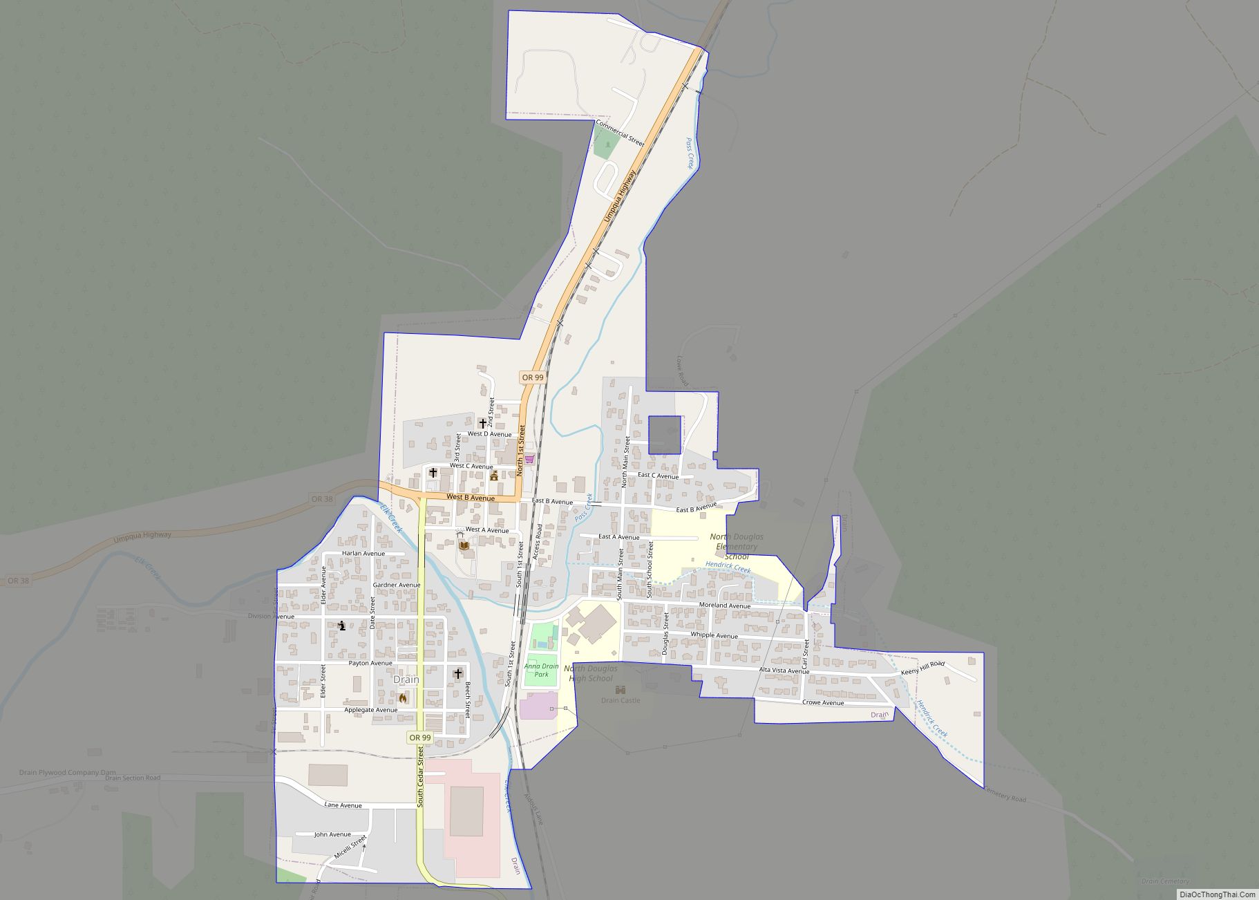
Drain is a city in Douglas County, Oregon, United States. The population was 1,151 at the 2010 census. Drain is named after town founder and politician Charles J. Drain, who donated 60 acres (24 ha) of nearby land to the Oregon and California Railroad in 1871.
| Name: | Drain city |
|---|---|
| LSAD Code: | 25 |
| LSAD Description: | city (suffix) |
| State: | Oregon |
| County: | Douglas County |
| Incorporated: | 1887 |
| Elevation: | 289 ft (88 m) |
| Total Area: | 0.63 sq mi (1.64 km²) |
| Land Area: | 0.63 sq mi (1.64 km²) |
| Water Area: | 0.00 sq mi (0.00 km²) |
| Total Population: | 1,172 |
| Population Density: | 1,851.50/sq mi (714.73/km²) |
| ZIP code: | 97435 |
| Area code: | 541 |
| FIPS code: | 4120500 |
| GNISfeature ID: | 2410354 |
| Website: | www.cityofdrain.org |
Online Interactive Map
Click on ![]() to view map in "full screen" mode.
to view map in "full screen" mode.
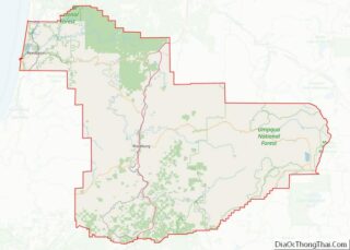
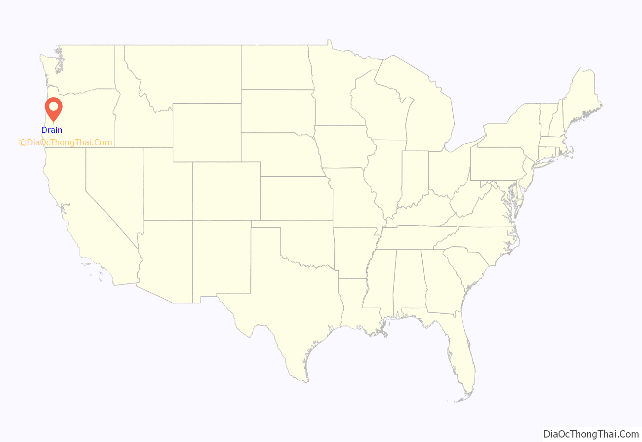
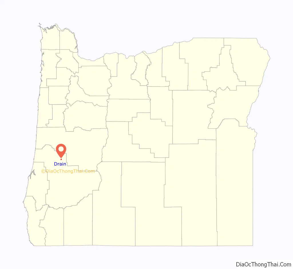
Drain location map. Where is Drain city?
History
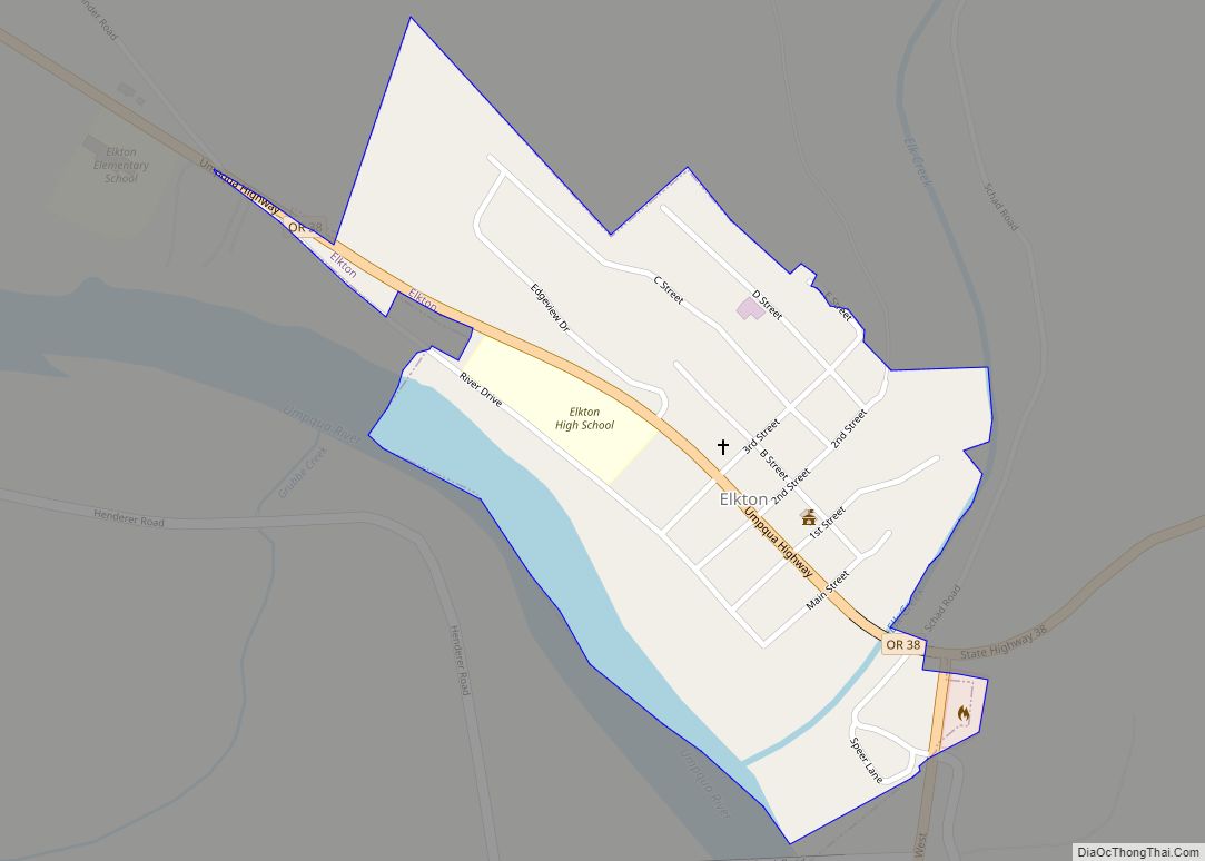
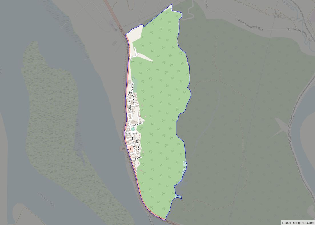
In 1876, a coach road was established between Drain and Scottsburg. Drain was the starting point for the Drain-Coos Bay stage line, which ran to Scottsburg and then by river steamer to Gardiner and the beach on the south side of the mouth of the Umpqua River.
The Drain Normal School was founded in the community in 1883 by the Methodist Church. The state took over the school in 1885 and named it as the Central Oregon State Normal School, before it closed in June 1908.
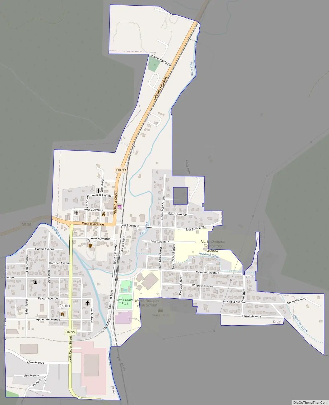
Drain Road Map
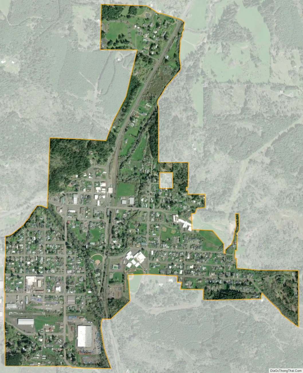
Drain city Satellite Map
Geography
According to the United States Census Bureau, the city has a total area of 0.61 square miles (1.58 km), all of it land.
Drain is at the crossroads of Oregon Route 99 and Oregon Route 38, at a pass in the Coast Range, on the way west to the Pacific Ocean.
Elk Creek and Pass Creek, both tributaries of the Umpqua River, converge in Drain.
Pass Creek Bridge, a covered bridge in a park behind the Drain Civic Center, was formerly a road bridge. In 1987, the city moved the structure to the park and opened it to pedestrian traffic only. In 2014, the city completely closed the bridge, made unsafe by rotting support timbers.
Drain, like most of western Oregon, has a Mediterranean climate (Köppen Csb) with dry summers featuring cool mornings and hot afternoons, and chilly, if not severe, wet winters. Occasionally during the winter a cold air mass from the interior will cross the Cascades to bring very cold weather and frost, although Drain gets very little snow with a mean of 1.7 inches or 0.043 metres, a monthly maximum of 21.9 inches (0.56 m) in January 1950, and a season maximum of 23.2 inches (0.59 m) in 1970/1971. The coldest month was January 1930 with a mean of 31.3 °F (−0.4 °C), whilst January 1949 with 31.9 °F (−0.1 °C) is the only other subfreezing month. The coldest temperature ever recorded in Drain is 0 °F (−17.8 °C) on January 22, 1962. Rainfall in winter is usually heavy: the wettest month on record is December 1955 which totalled 21.93 inches (557.0 mm), whilst the wettest “rain year” since 1903 has been from July 1973 to June 1974 with 71.08 inches (1,805.4 mm) and the driest from July 1976 to June 1977 with 23.76 inches (603.5 mm). The most precipitation in a single day has been 7.70 inches (195.6 mm) on January 18, 1951.
During the summer months, days are usually hot and clear, whilst nights are cool: in the summer of 2003 only 0.21 inches (5.3 mm) of rain fell over the three months, and in 1951 no measurable precipitation occurred for ninety-five days between May 24 and August 26. When a continental airflow occurs, the weather can become extremely hot: on July 31, 2015 a record 109 °F (42.8 °C) was recorded; however, the cool nights have allowed for frost-level temperatures as low as 31 °F (−0.6 °C) on June 10 of 1916 and 30 °F (−1.1 °C) on August 28 of 1905.
See also
Map of Oregon State and its subdivision: Map of other states:- Alabama
- Alaska
- Arizona
- Arkansas
- California
- Colorado
- Connecticut
- Delaware
- District of Columbia
- Florida
- Georgia
- Hawaii
- Idaho
- Illinois
- Indiana
- Iowa
- Kansas
- Kentucky
- Louisiana
- Maine
- Maryland
- Massachusetts
- Michigan
- Minnesota
- Mississippi
- Missouri
- Montana
- Nebraska
- Nevada
- New Hampshire
- New Jersey
- New Mexico
- New York
- North Carolina
- North Dakota
- Ohio
- Oklahoma
- Oregon
- Pennsylvania
- Rhode Island
- South Carolina
- South Dakota
- Tennessee
- Texas
- Utah
- Vermont
- Virginia
- Washington
- West Virginia
- Wisconsin
- Wyoming