Estacada /ˌɛstəˈkeɪdə/ is a city in Clackamas County, Oregon, United States, about 30 miles (48 km) southeast of Portland. The 2020 population is estimated to be 3,700. According to the 2010 census, the population in 2010 was 2,695.
| Name: | Estacada city |
|---|---|
| LSAD Code: | 25 |
| LSAD Description: | city (suffix) |
| State: | Oregon |
| County: | Clackamas County |
| Incorporated: | 1905 |
| Elevation: | 426 ft (129.8 m) |
| Total Area: | 2.62 sq mi (6.79 km²) |
| Land Area: | 2.57 sq mi (6.65 km²) |
| Water Area: | 0.05 sq mi (0.14 km²) |
| Total Population: | 4,356 |
| Population Density: | 1,695.60/sq mi (654.69/km²) |
| ZIP code: | 97023 |
| Area code: | 503 |
| FIPS code: | 4123800 |
| GNISfeature ID: | 1136271 |
| Website: | www.cityofestacada.org |
Online Interactive Map
Click on ![]() to view map in "full screen" mode.
to view map in "full screen" mode.
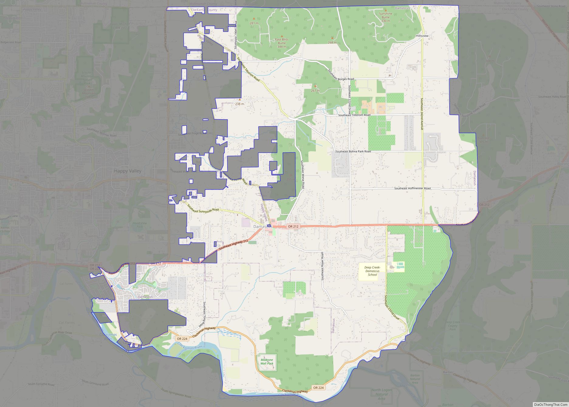
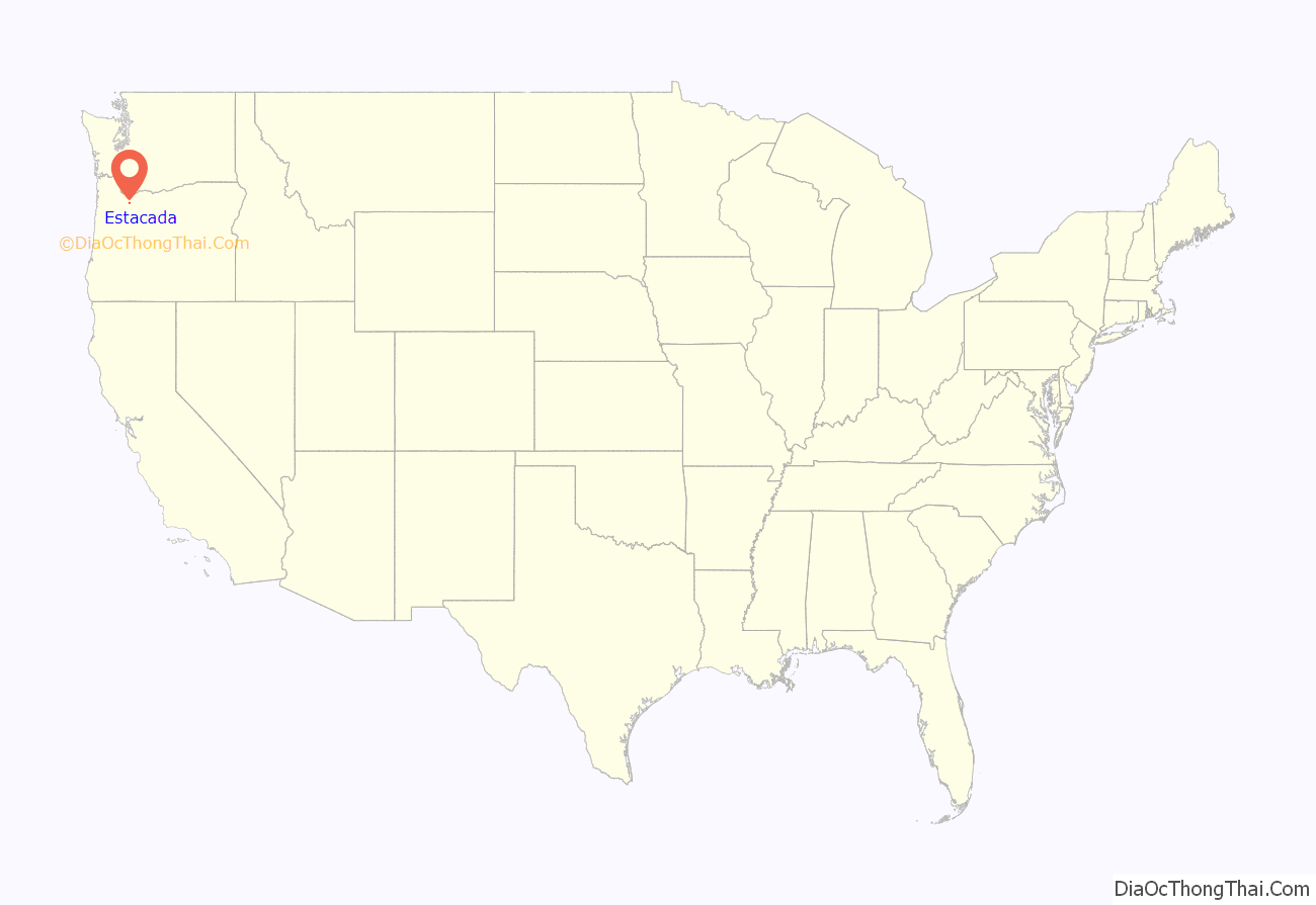
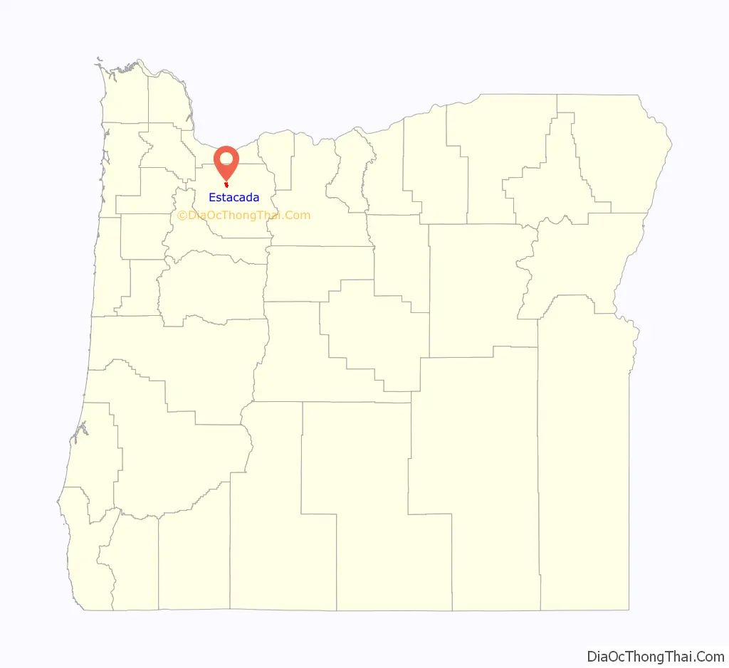
Estacada location map. Where is Estacada city?
History
The Estacada post office opened on February 24, 1904 and the city was incorporated in May 1905. The community formed as a camp for workers building a hydroelectric dam on the nearby Clackamas River that was to supply Portland with electricity. At the time, the river was relatively inaccessible by road, forcing the Oregon Power Railway Company to build a railway to the vicinity of the river to transport crews to the river for the construction of the dam. After the construction of the Hotel Estacada, the town became a weekend destination on the railroad line for residents of Portland. During the week, the train carried freight and work crews to and from Portland. Following the development of the dams, the city became a hub for the logging industry. In the early 20th century, a trolley line connected the town with downtown Portland. The railway line has been removed and there is no longer rail service to Estacada.
Name
The origin of the city’s name is disputed. One explanation is that the city’s name is a corruption of the names of a civic leader’s daughters, Esther and Katie, however, there is no evidence of their existence. Another theory states that:
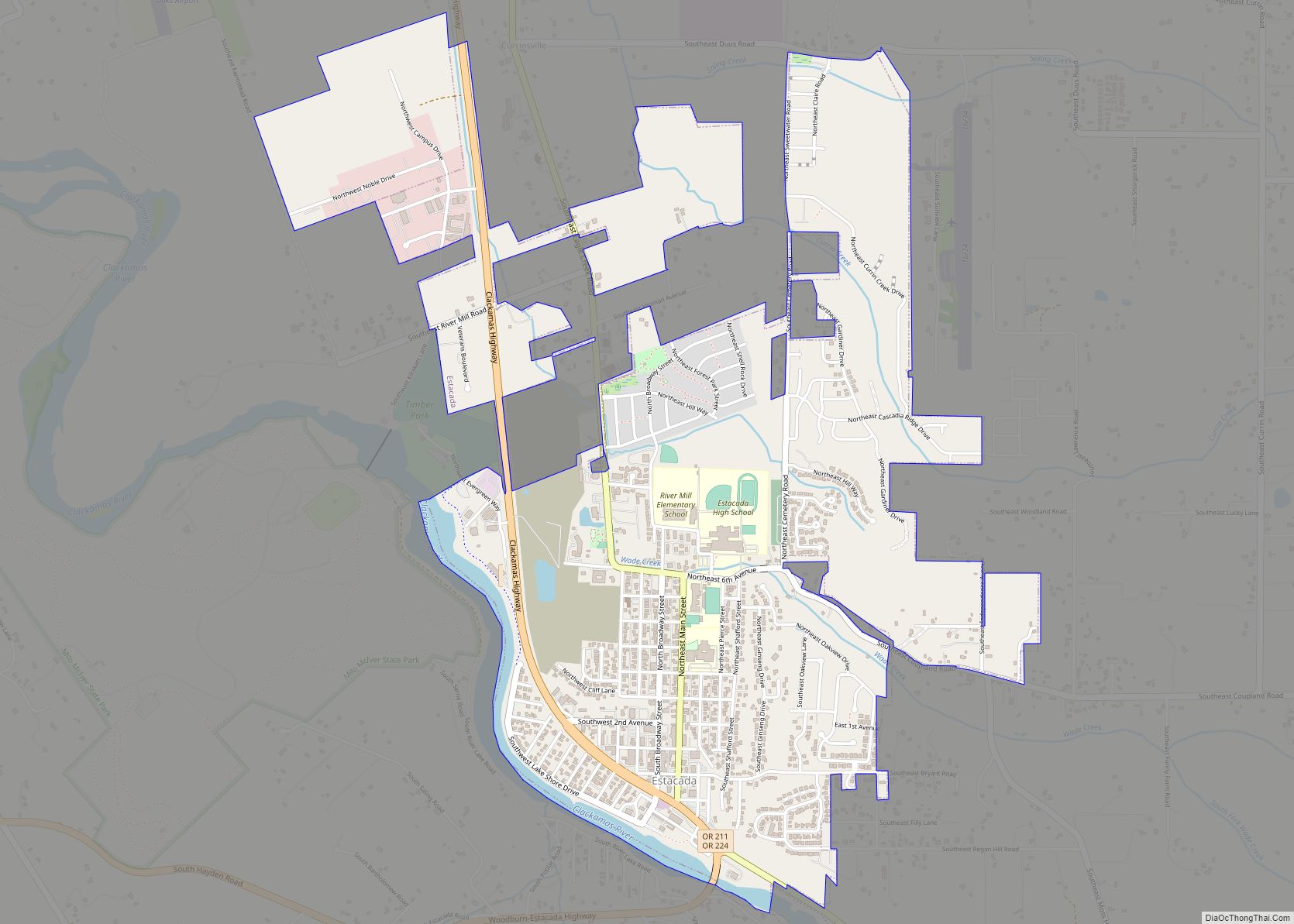
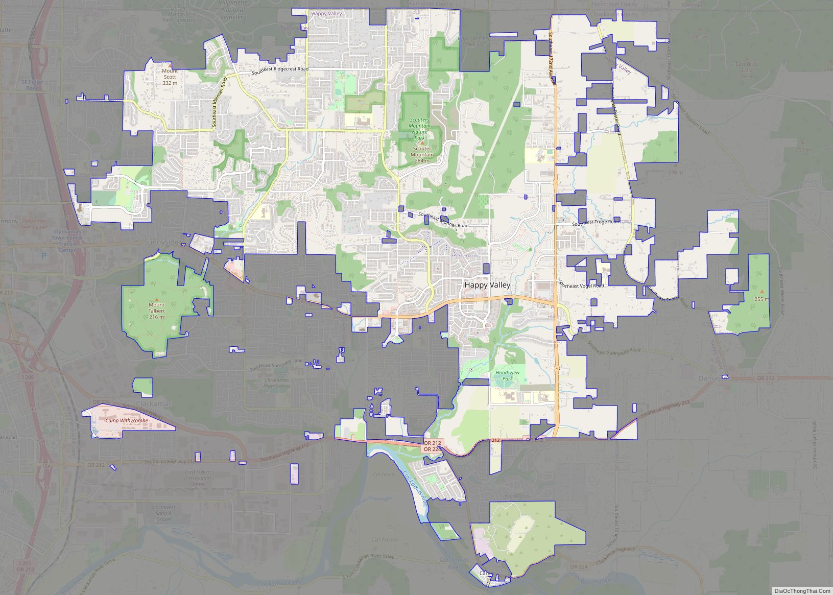
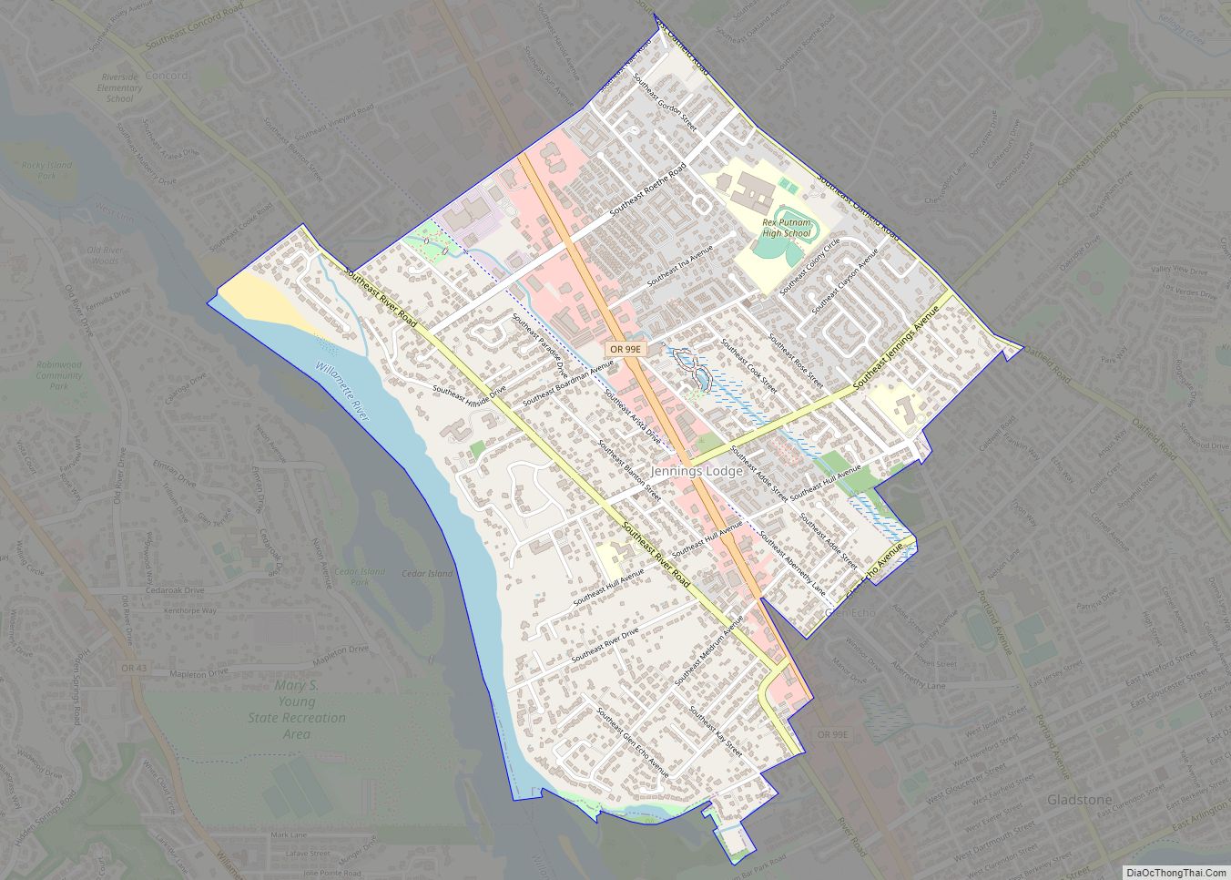
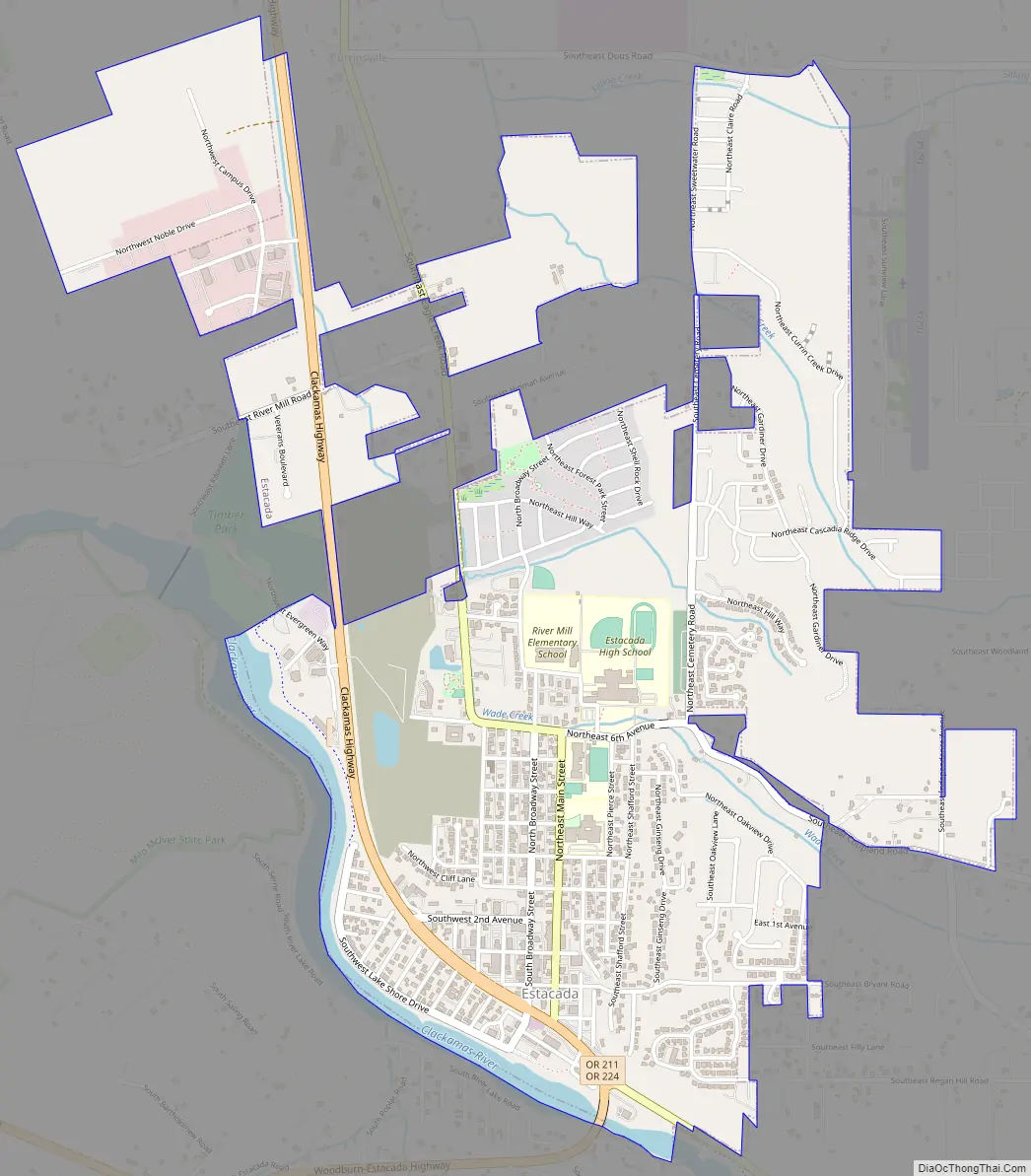
Estacada Road Map
Estacada city Satellite Map
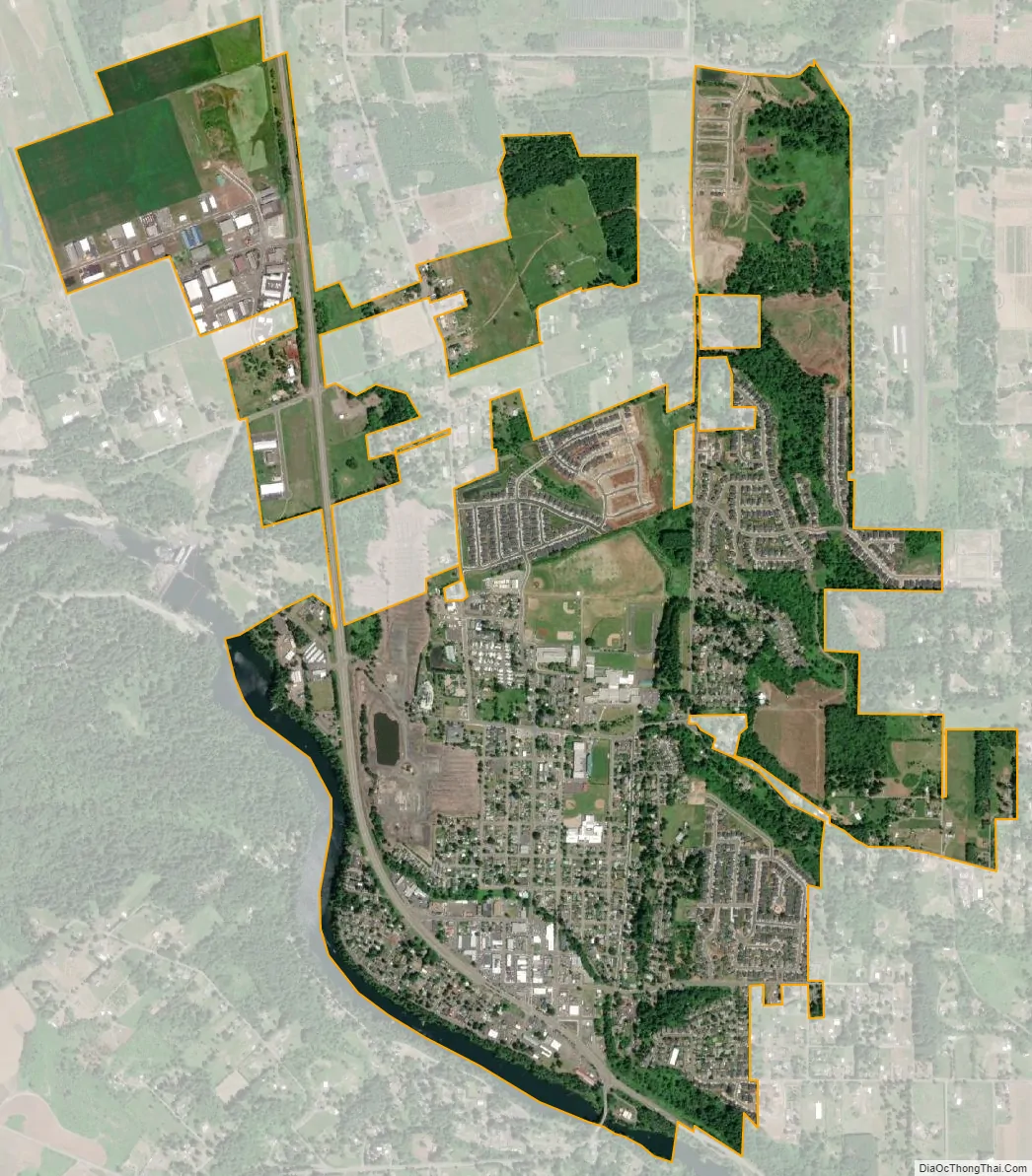
Geography
According to the United States Census Bureau, the city has a total area of 2.06 square miles (5.34 km), of which, 2.01 square miles (5.21 km) is land and 0.05 square miles (0.13 km) is water.
Outside the city limits the land is mainly farmland, extending from the Springwater area to the south, Eagle Creek to the west, and the Mount Hood National Forest to the north and east.
Climate
Estacada has a warm-summer Mediterranean climate (Köppen Csb).
See also
Map of Oregon State and its subdivision: Map of other states:- Alabama
- Alaska
- Arizona
- Arkansas
- California
- Colorado
- Connecticut
- Delaware
- District of Columbia
- Florida
- Georgia
- Hawaii
- Idaho
- Illinois
- Indiana
- Iowa
- Kansas
- Kentucky
- Louisiana
- Maine
- Maryland
- Massachusetts
- Michigan
- Minnesota
- Mississippi
- Missouri
- Montana
- Nebraska
- Nevada
- New Hampshire
- New Jersey
- New Mexico
- New York
- North Carolina
- North Dakota
- Ohio
- Oklahoma
- Oregon
- Pennsylvania
- Rhode Island
- South Carolina
- South Dakota
- Tennessee
- Texas
- Utah
- Vermont
- Virginia
- Washington
- West Virginia
- Wisconsin
- Wyoming