Halfway is a city in Baker County, Oregon, United States. The city took its name from the location of its post office, on the Alexander Stalker ranch, halfway between Pine and Jim Town. The population was 288 at the 2010 census.
During the dot-com bubble, Halfway agreed to rename itself Half.com for a year as a publicity stunt for the e-commerce company of the same name.
| Name: | Halfway city |
|---|---|
| LSAD Code: | 25 |
| LSAD Description: | city (suffix) |
| State: | Oregon |
| County: | Baker County |
| Incorporated: | 1909 |
| Elevation: | 2,651 ft (808 m) |
| Total Area: | 0.37 sq mi (0.96 km²) |
| Land Area: | 0.37 sq mi (0.96 km²) |
| Water Area: | 0.00 sq mi (0.00 km²) |
| Total Population: | 351 |
| Population Density: | 943.55/sq mi (363.89/km²) |
| ZIP code: | 97834 |
| Area code: | 458 and 541 |
| FIPS code: | 4131650 |
| GNISfeature ID: | 1143208 |
Online Interactive Map
Click on ![]() to view map in "full screen" mode.
to view map in "full screen" mode.
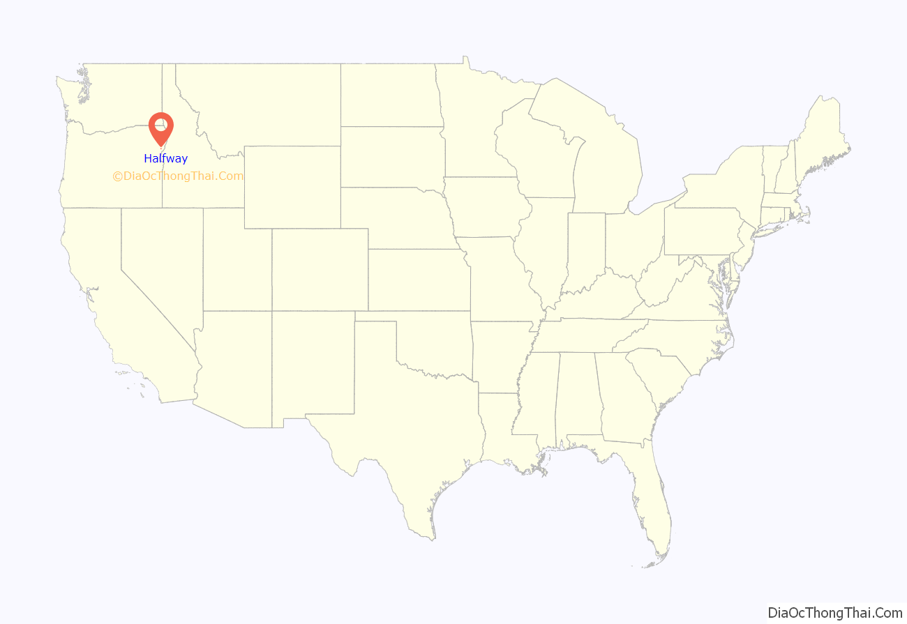
Halfway location map. Where is Halfway city?
History
The community was named for the fact it is roughly halfway between Pine and Cornucopia. While a post office was established in 1887, the town was platted in another location in 1907, the post office moved there in 1908, and it incorporated in 1909.
Half.com name change
Halfway earned a place in the history of the dot-com era in December 1999, when it received and accepted an offer to rename itself as Half.com, after the e-commerce start-up, for one year in exchange for $110,000; 20 computers for the school; and other financial subsidies. It became the first city in the world to rename itself as a dot com. Among the less obvious reasons the town was chosen were its small population size (and thus its likelihood to accept such an offer) and the city’s location, which fit perfectly into Half.com’s marketing scheme. “They’re within four miles of the 45th parallel which makes it halfway between the equator and the North Pole”. The proclamation did not legally change its name. The city created and posted two signs at its borders that greeted visitors with “America’s First Dot-com City”. The city auctioned one of these off in September 2007 for $1000; the winner was Half.com’s founder Josh Kopelman.
Half.com was bought by eBay in February 2001.
The original financial hardships that led to the city accepting Half.com’s offer returned in 2004 when a company owning a promissory note, secured by its fairgrounds and improvements, demanded payment of over $530,000.
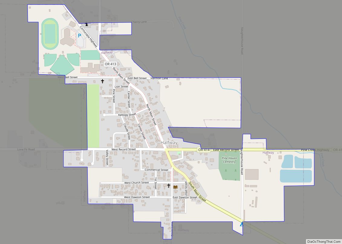
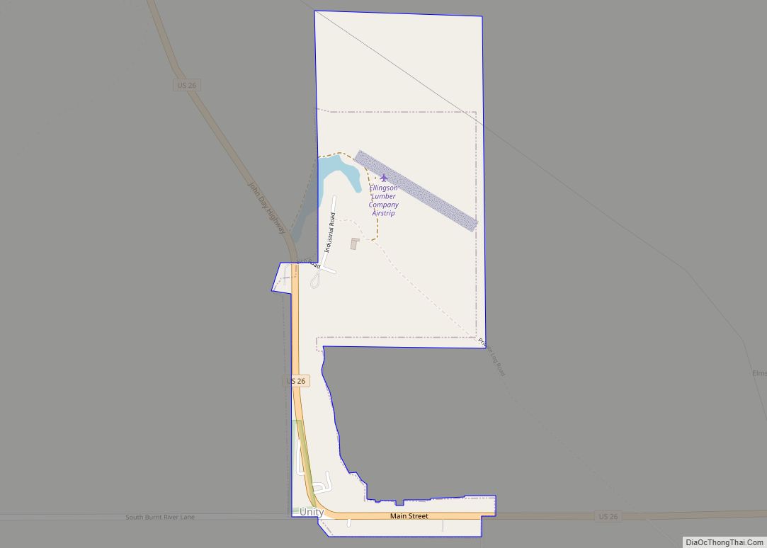
Halfway Road Map
Halfway city Satellite Map
Geography
Halfway is located 54 miles (87 km) east of Baker City, along Oregon Route 86, halfway between Pine and Cornucopia, which gave the town its name. The city’s geographic coordinates of 44°52′42″N 117°6′38″W (making it close to the midpoint between the equator and the North Pole) were part of the reason for Half.com to choose the town for its advertising gimmick.
According to the United States Census Bureau, the city has a total area of 0.37 square miles (0.96 km), all of it land.
See also
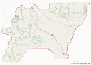
Map of Oregon State and its subdivision: Map of other states:- Alabama
- Alaska
- Arizona
- Arkansas
- California
- Colorado
- Connecticut
- Delaware
- District of Columbia
- Florida
- Georgia
- Hawaii
- Idaho
- Illinois
- Indiana
- Iowa
- Kansas
- Kentucky
- Louisiana
- Maine
- Maryland
- Massachusetts
- Michigan
- Minnesota
- Mississippi
- Missouri
- Montana
- Nebraska
- Nevada
- New Hampshire
- New Jersey
- New Mexico
- New York
- North Carolina
- North Dakota
- Ohio
- Oklahoma
- Oregon
- Pennsylvania
- Rhode Island
- South Carolina
- South Dakota
- Tennessee
- Texas
- Utah
- Vermont
- Virginia
- Washington
- West Virginia
- Wisconsin
- Wyoming
