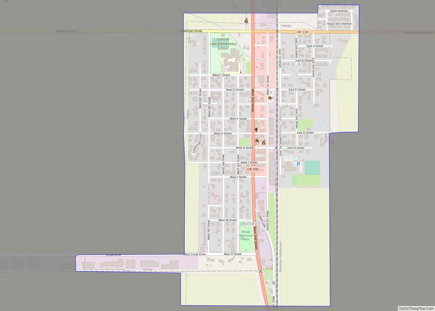
Halsey is a city in Linn County, Oregon, United States. The population was 904 at the 2010 census.
| Name: | Halsey city |
|---|---|
| LSAD Code: | 25 |
| LSAD Description: | city (suffix) |
| State: | Oregon |
| County: | Linn County |
| Incorporated: | 1876 (founded 1872) |
| Elevation: | 285 ft (86 m) |
| Total Area: | 0.56 sq mi (1.45 km²) |
| Land Area: | 0.56 sq mi (1.45 km²) |
| Water Area: | 0.00 sq mi (0.00 km²) |
| Total Population: | 962 |
| Population Density: | 1,717.86/sq mi (663.11/km²) |
| ZIP code: | 97348 |
| Area code: | 541 |
| FIPS code: | 4131750 |
| GNISfeature ID: | 1121528 |
| Website: | www.cityofhalsey.com |
Online Interactive Map
Click on ![]() to view map in "full screen" mode.
to view map in "full screen" mode.
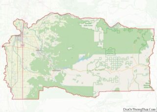
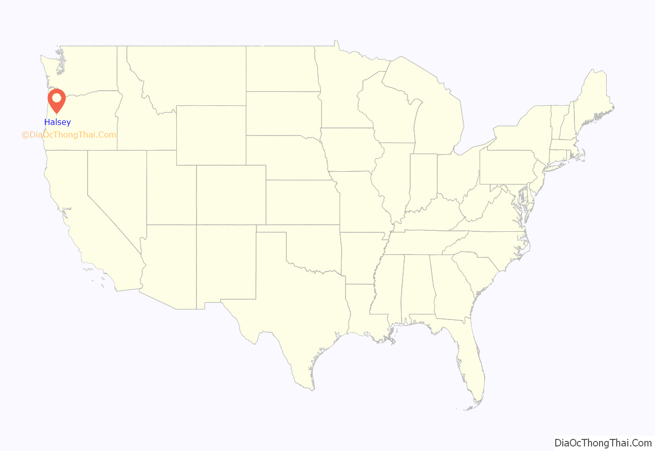
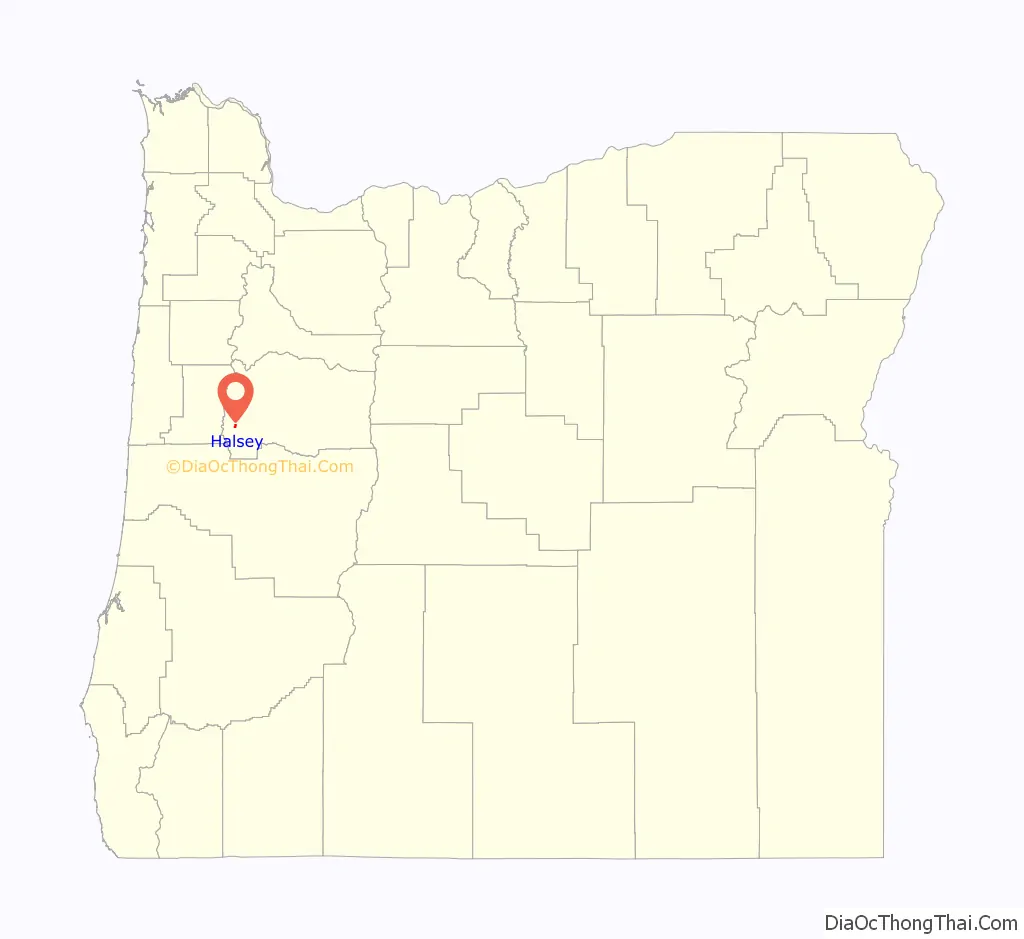
Halsey location map. Where is Halsey city?
History
The city was founded in 1872, and legally incorporated by the Oregon Legislative Assembly on October 20, 1876. The city takes its name from William L. Halsey, who was at the time vice-president of Oregon & California Railroad.
On July 31, 1903 most of the city’s downtown core burned to the ground, after a fire started at the J. L. Bishur Creamery.
The city’s iconic grain elevator was built in 1955 and stood at a height of 180 feet. It was partially demolished in December 2012 over concerns of structural integrity.
In 2022, the most powerful handgun cartridge in the world, the .500 Bushwhacker, was developed and introduced by Halsey residents James Tow and Keith Tow.
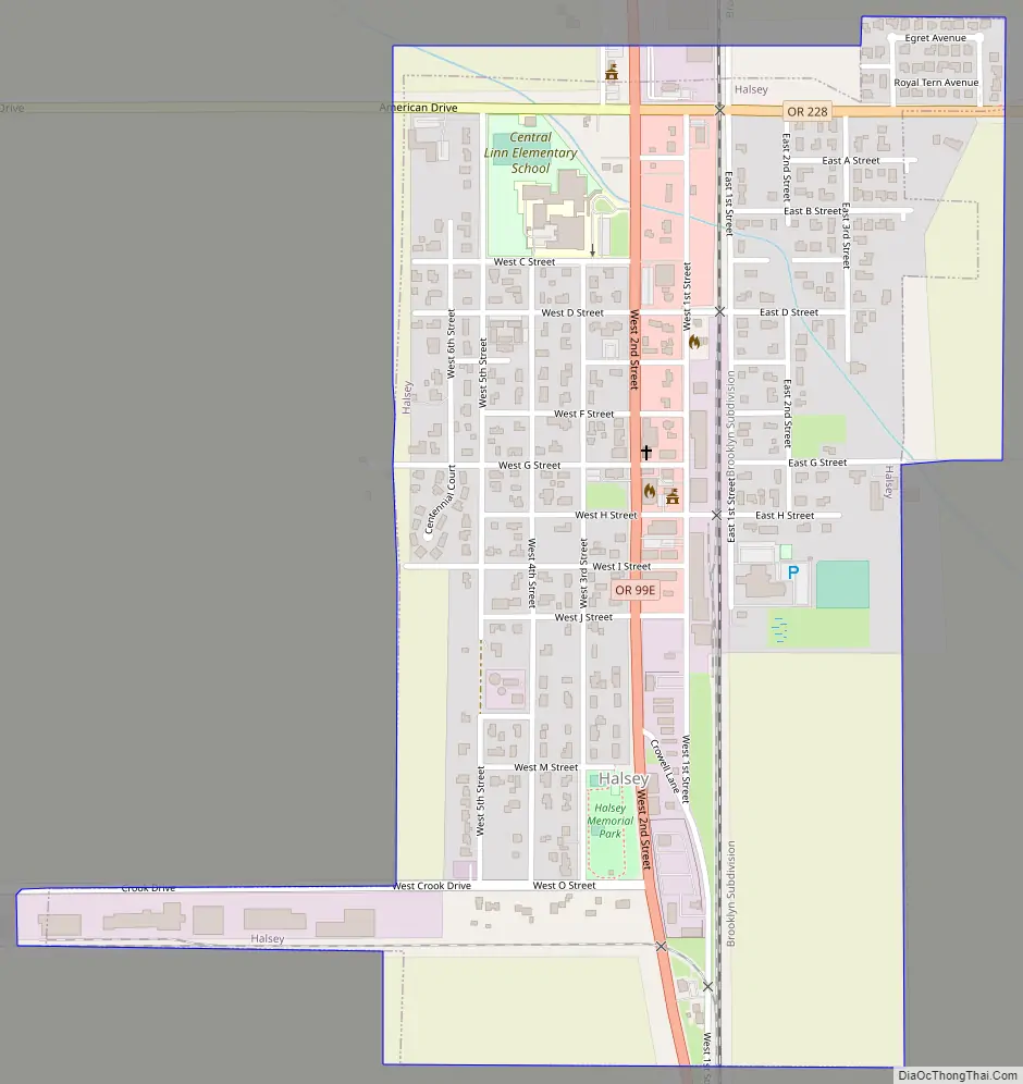
Halsey Road Map
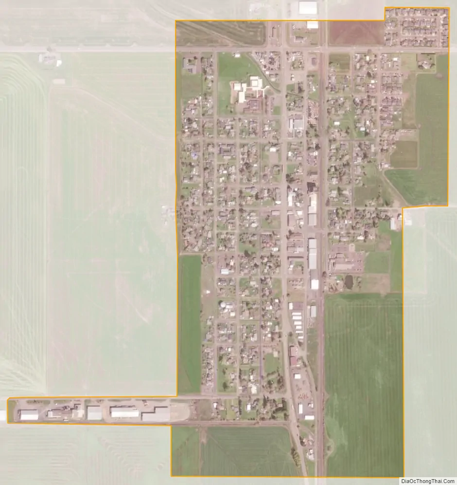
Halsey city Satellite Map
Geography
According to the United States Census Bureau, the city has a total area of 0.56 square miles (1.45 km), all land.
See also
Map of Oregon State and its subdivision: Map of other states:- Alabama
- Alaska
- Arizona
- Arkansas
- California
- Colorado
- Connecticut
- Delaware
- District of Columbia
- Florida
- Georgia
- Hawaii
- Idaho
- Illinois
- Indiana
- Iowa
- Kansas
- Kentucky
- Louisiana
- Maine
- Maryland
- Massachusetts
- Michigan
- Minnesota
- Mississippi
- Missouri
- Montana
- Nebraska
- Nevada
- New Hampshire
- New Jersey
- New Mexico
- New York
- North Carolina
- North Dakota
- Ohio
- Oklahoma
- Oregon
- Pennsylvania
- Rhode Island
- South Carolina
- South Dakota
- Tennessee
- Texas
- Utah
- Vermont
- Virginia
- Washington
- West Virginia
- Wisconsin
- Wyoming