Happy Valley is a suburban city in the Portland, Oregon metropolitan area. Happy Valley is near the northwest edge of Clackamas County, Oregon, United States approximately 10 miles to the southeast of downtown Portland, Oregon. The population was 23,733 at the 2020 census.
| Name: | Happy Valley city |
|---|---|
| LSAD Code: | 25 |
| LSAD Description: | city (suffix) |
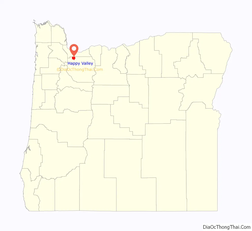
| State: | Oregon |
| County: | Clackamas County |
| Incorporated: | 1965 |
| Elevation: | 497 ft (151.5 m) |
| Total Area: | 11.65 sq mi (30.17 km²) |
| Land Area: | 11.60 sq mi (30.04 km²) |
| Water Area: | 0.05 sq mi (0.12 km²) |
| Total Population: | 23,733 |
| Population Density: | 2,046.12/sq mi (789.99/km²) |
| ZIP code: | 97086 |
| Area code: | 503 and 971 |
| FIPS code: | 4132050 |
| GNISfeature ID: | 1136354 |
| Website: | happyvalleyor.gov |
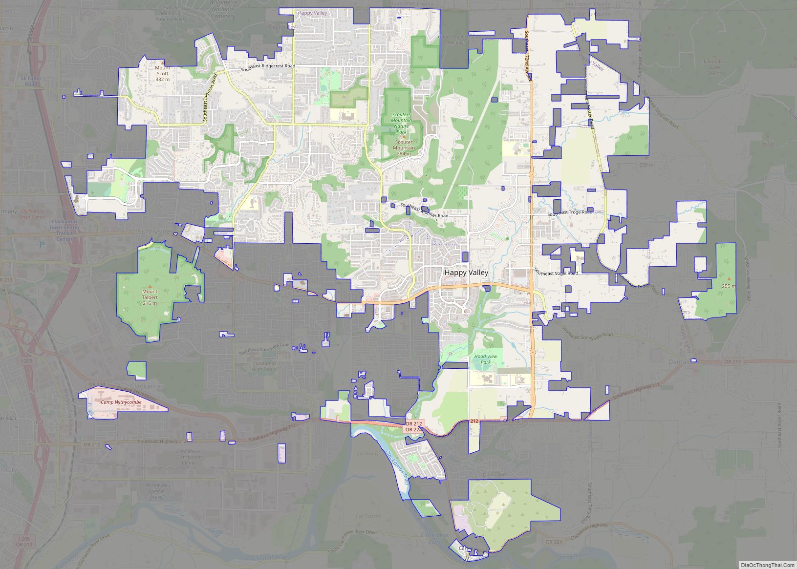
Online Interactive Map
Click on ![]() to view map in "full screen" mode.
to view map in "full screen" mode.
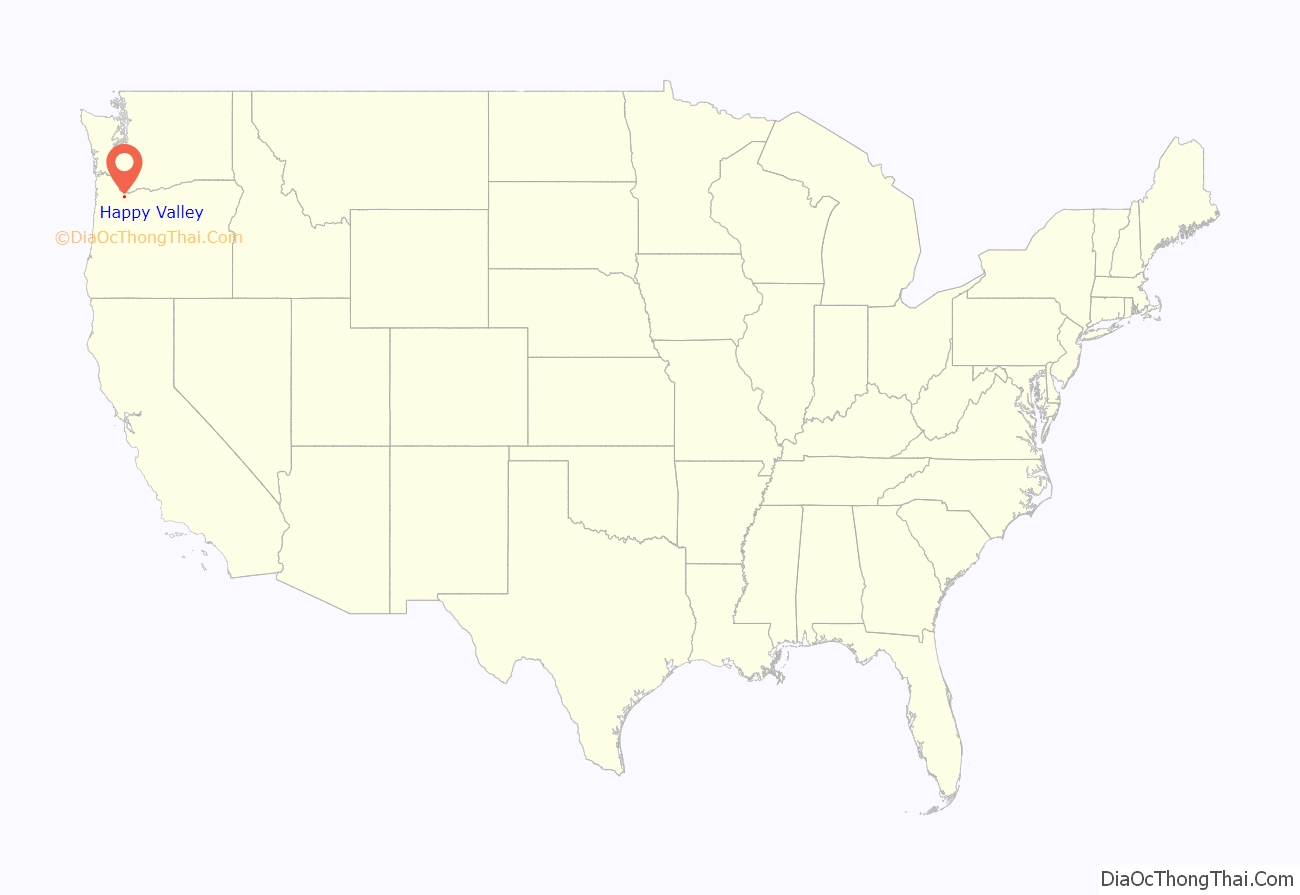
Happy Valley location map. Where is Happy Valley city?
History
Happy Valley was originally settled by Christian and Matilda Deardorff after receiving 640 acres from The Donation Land Claim Act of 1850 in Clackamas County between a cinder cone volcano later name Mt. Scott and a knoll later named Scouters’ Mountain. The settled region become known as Deardorff Valley, Deardorff Settlement and most popularly Christilla Valley (name formed by combining “Chris” from Christian and “Tilla” from Matilda).
The city was officially incorporated in 1965 and remained a small community until the late 1990s, when it became one of the fastest-growing cities in Oregon.
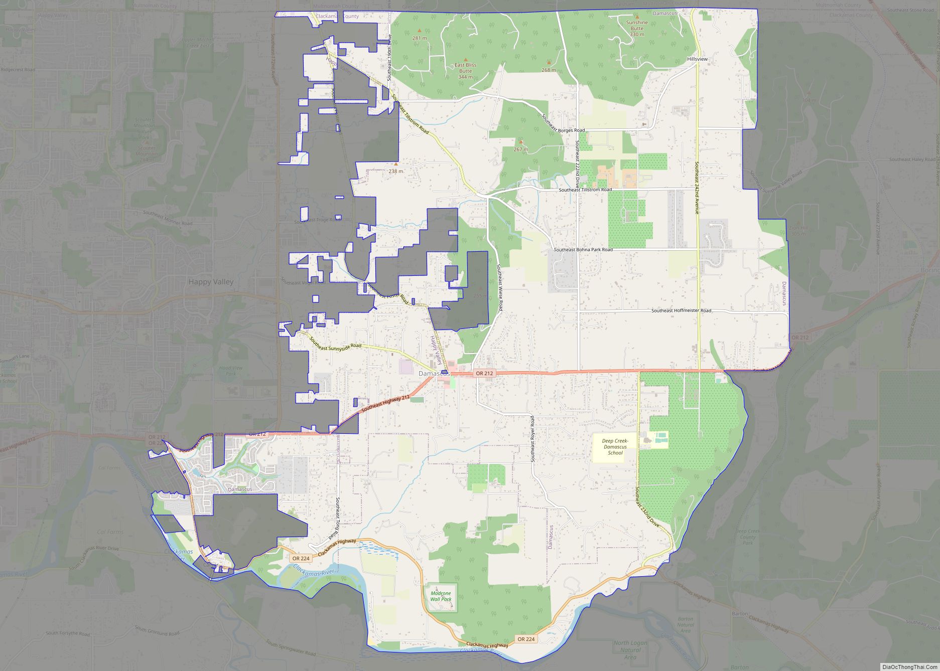
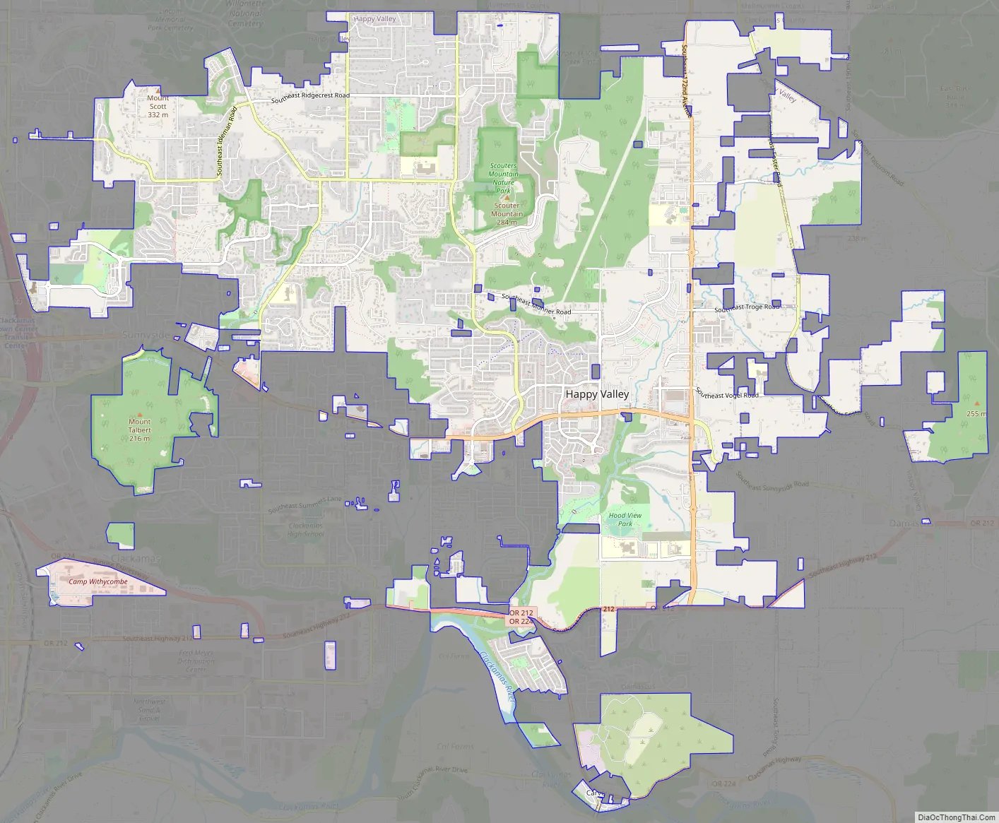
Happy Valley Road Map
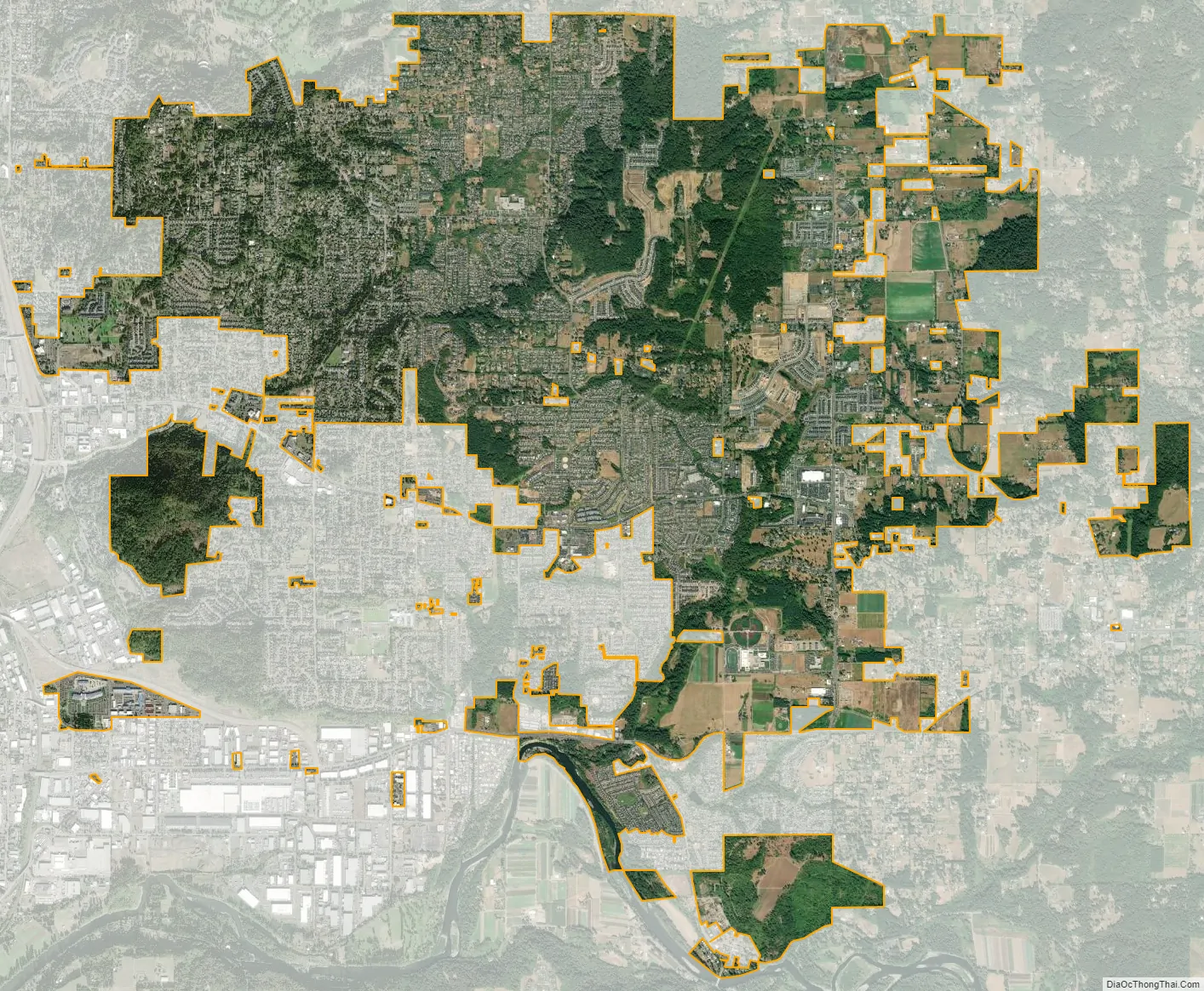
Happy Valley city Satellite Map
Geography
According to the United States Census Bureau, the city has a total area of 8.32 square miles (21.55 km), of which, 8.28 square miles (21.45 km) is land and 0.04 square miles (0.10 km) is water. It is a member of the Portland, Oregon metropolitan area, bordering Portland, Clackamas, Damascus, Pleasant Valley, and Sunnyside.
Mount Scott, an extinct volcano that is part of the Boring Lava Field, is the highest point in Happy Valley at 1,050 feet (320 m). Scouters Mountain is also a prominent feature.
Climate
Happy Valley is one of the rainiest cities in the Portland metro area with a recorded annual rainfall average of 48 inches.
See also
Map of Oregon State and its subdivision: Map of other states:- Alabama
- Alaska
- Arizona
- Arkansas
- California
- Colorado
- Connecticut
- Delaware
- District of Columbia
- Florida
- Georgia
- Hawaii
- Idaho
- Illinois
- Indiana
- Iowa
- Kansas
- Kentucky
- Louisiana
- Maine
- Maryland
- Massachusetts
- Michigan
- Minnesota
- Mississippi
- Missouri
- Montana
- Nebraska
- Nevada
- New Hampshire
- New Jersey
- New Mexico
- New York
- North Carolina
- North Dakota
- Ohio
- Oklahoma
- Oregon
- Pennsylvania
- Rhode Island
- South Carolina
- South Dakota
- Tennessee
- Texas
- Utah
- Vermont
- Virginia
- Washington
- West Virginia
- Wisconsin
- Wyoming