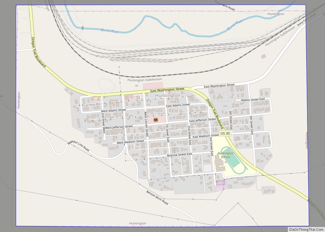
Huntington is a city in Baker County, on the eastern border of Oregon, United States. It is located on the Snake River and along Interstate 84 and U.S. Route 30. The population was 440 at the 2010 census, down from 515 in 2000.
| Name: | Huntington city |
|---|---|
| LSAD Code: | 25 |
| LSAD Description: | city (suffix) |
| State: | Oregon |
| County: | Baker County |
| Incorporated: | 1891 |
| Elevation: | 2,119 ft (646 m) |
| Total Area: | 0.74 sq mi (1.92 km²) |
| Land Area: | 0.74 sq mi (1.92 km²) |
| Water Area: | 0.00 sq mi (0.00 km²) |
| Total Population: | 502 |
| Population Density: | 678.38/sq mi (261.91/km²) |
| ZIP code: | 97907 |
| Area code: | 541 |
| FIPS code: | 4135700 |
| GNISfeature ID: | 1122160 |
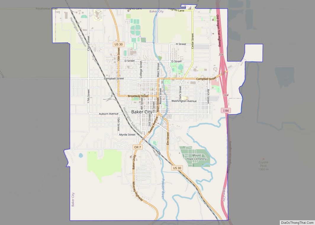
Online Interactive Map
Click on ![]() to view map in "full screen" mode.
to view map in "full screen" mode.
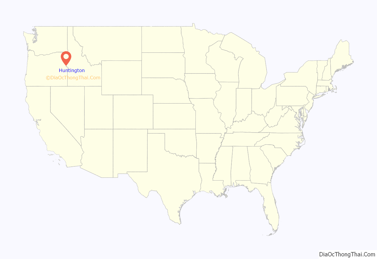
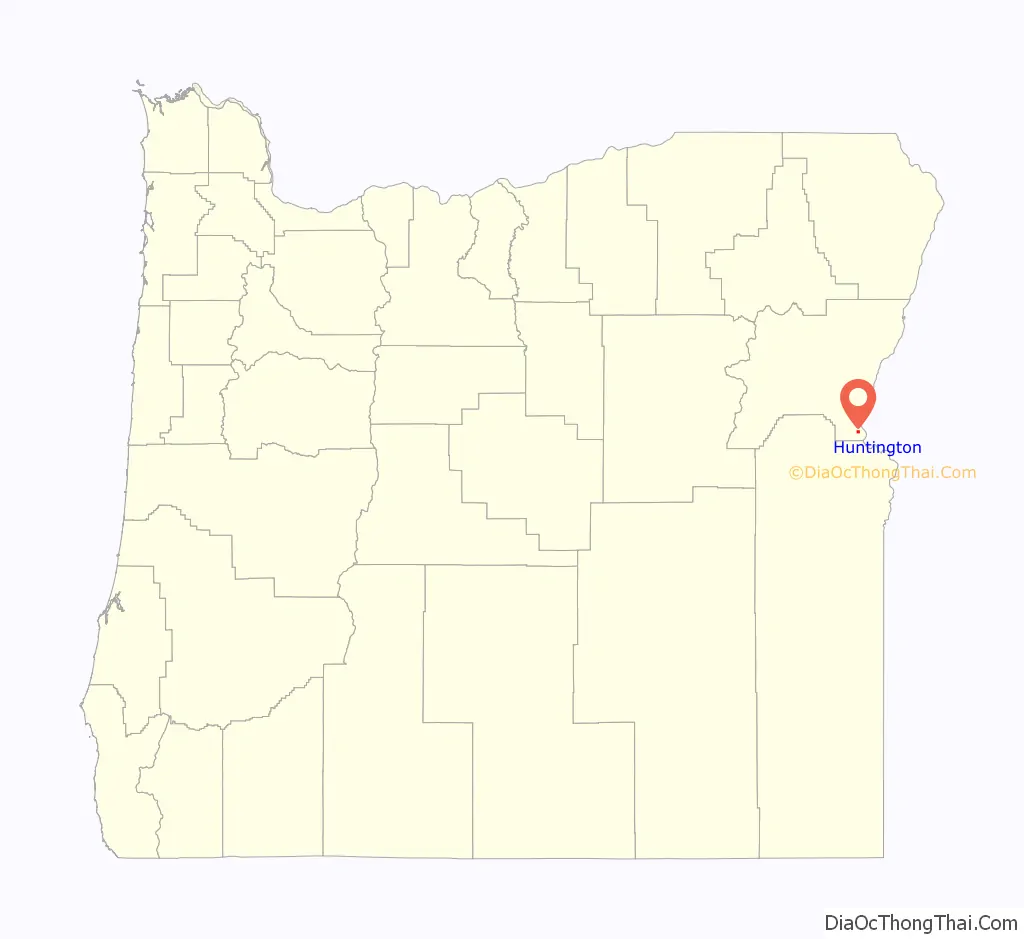
Huntington location map. Where is Huntington city?
History
Henry Miller settled in the area in August 1862. In 1870, Miller’s Stagecoach Station was established before the coming of the Oregon Railway and Navigation Company rail line in 1884, and was platted in 1885 or 1886. It soon became the primary shipping point for the cattle country to the south. Miller built the Stage Tavern, known for many years as “Miller Station”. It was on the overland route that had been established in the valley, and had become well known to all who traveled in pioneer days. According to Oregon Geographic Names, Huntington was named for J.B. and J.M. Huntington, brothers who purchased Miller’s holdings in 1882.
The Huntingtons maintained a small trading post on their land. In 1884, the rails of the Oregon Short Line and the Oregon Railroad and Navigation Company line were joined in Huntington. Since that time, Huntington has been an important railway division point. With the advent of the railroad came J.T. Fifer, who had been selling general merchandise to the construction crews moving his goods from town to town as the work progressed. Shortly after Fifer arrived, the Huntingtons closed up, leaving him alone in the general merchandise business. The Oregon Construction Company followed soon, with a stock of general merchandise, a blacksmith shop, the Pacific Hotel, several boarding houses and restaurants and a number of saloons.
In 1898, the Northwest Railroad Company began extending a short line down the Snake River. It reached Homestead about 1910. This increased transportation at Huntington and gave an outlet for Eagle and Pine Valley fruits, cattle, lumber and ore. This line was flooded by water from Brownlee Dam. Huntington became the only incorporated city in Baker County on the Oregon Trail in 1891 with Home Rule Law.
Remnants of the Old Oregon Trail can still be seen today when one is traveling north from Farewell Bend State Recreation Area toward the town of Huntington on U.S. Route 30.
Evidence of the hardships and tragedies of the pioneer movement still exists: a small iron cross, visible from Route 30, marks the location where Snake River Shoshone Indians killed a number of emigrants in 1860.
At the end of the 19th century, Huntington developed a reputation as “Sin City”, a rugged frontier town having its share of saloons, Chinese opium dens, and gunslingers.
Governor Oswald West was motivated to clean up the city, along with the community of Copperfield, in 1912–14.
The first ransom bill from the 1935 George Weyerhaeuser kidnapping turned up in Huntington.
Huntington’s two marijuana dispensaries, which opened in 2016, had almost $15 million in sales in 2017, and were on pace to top $25 million in 2018, mostly serving Idahoans.
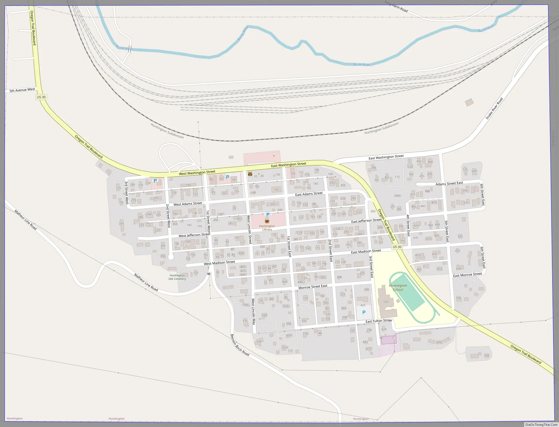
Huntington Road Map
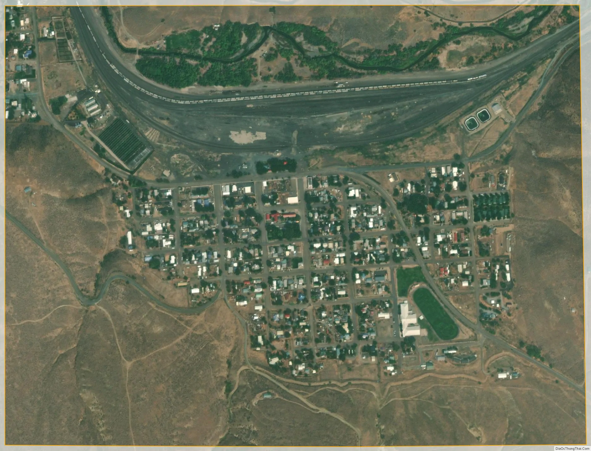
Huntington city Satellite Map
Geography
According to the United States Census Bureau, the city has a total area of 0.75 square miles (1.94 km), all of it land. Huntington is across the Snake River from the westernmost point of Idaho.
Climate
See also
Map of Oregon State and its subdivision: Map of other states:- Alabama
- Alaska
- Arizona
- Arkansas
- California
- Colorado
- Connecticut
- Delaware
- District of Columbia
- Florida
- Georgia
- Hawaii
- Idaho
- Illinois
- Indiana
- Iowa
- Kansas
- Kentucky
- Louisiana
- Maine
- Maryland
- Massachusetts
- Michigan
- Minnesota
- Mississippi
- Missouri
- Montana
- Nebraska
- Nevada
- New Hampshire
- New Jersey
- New Mexico
- New York
- North Carolina
- North Dakota
- Ohio
- Oklahoma
- Oregon
- Pennsylvania
- Rhode Island
- South Carolina
- South Dakota
- Tennessee
- Texas
- Utah
- Vermont
- Virginia
- Washington
- West Virginia
- Wisconsin
- Wyoming