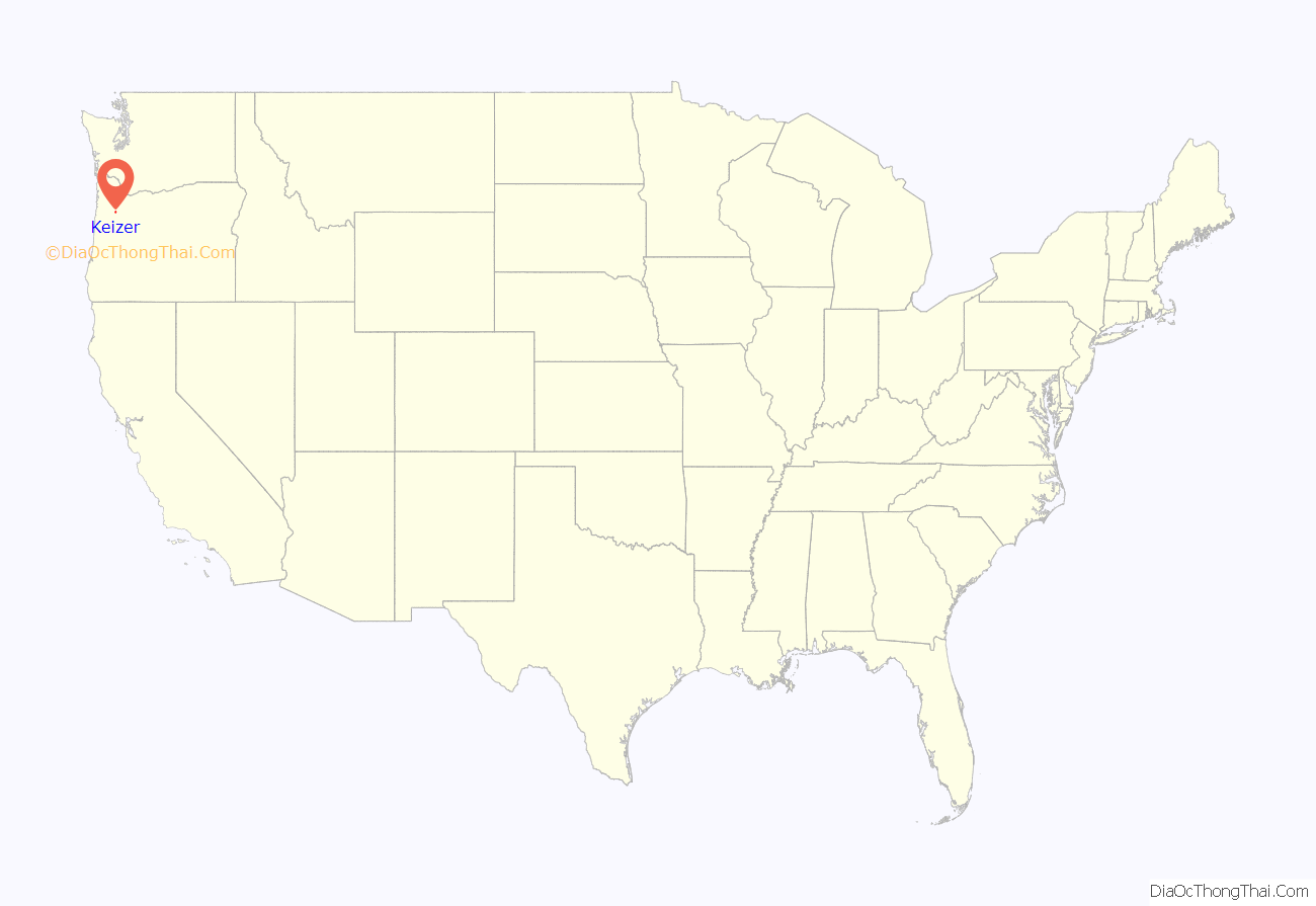
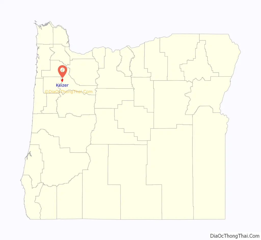
Keizer (/ˈkaɪzər/) is a city located in Marion County, Oregon, United States, along the 45th parallel. As of the 2020 United States Census, its population was 39,376. It lies in the Willamette Valley, and is part of the Salem Metropolitan Statistical Area. It was named after pioneer Thomas Dove (T. D.) Keizur and his family, who arrived in the Wagon Train of 1843, and later filed donation land claims.
| Name: | Keizer city |
|---|---|
| LSAD Code: | 25 |
| LSAD Description: | city (suffix) |
| State: | Oregon |
| County: | Marion County |
| Incorporated: | 1982 |
| Elevation: | 132 ft (40 m) |
| Total Area: | 7.30 sq mi (18.91 km²) |
| Land Area: | 7.18 sq mi (18.61 km²) |
| Water Area: | 0.12 sq mi (0.30 km²) |
| Total Population: | 39,376 |
| Population Density: | 5,480.31/sq mi (2,115.91/km²) |
| ZIP code: | 97303, 97307 |
| Area code: | 503 |
| FIPS code: | 4138500 |
| GNISfeature ID: | 1163084 |
Online Interactive Map
Click on ![]() to view map in "full screen" mode.
to view map in "full screen" mode.
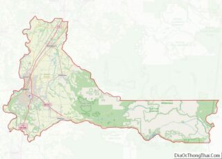
Keizer location map. Where is Keizer city?
History
The original settlement was at Keizer Bottom, near the banks of the Willamette River. The community was named after Thomas Dove Keizur, one of its first settlers. Somewhere in the translation of donation land claim records, his name was misspelled. The settlement suffered in the flood of 1861, and the inhabitants rebuilt their homes on higher ground. Further floods in 1943, 1945, 1946 and 1948 hampered the growth of the community, and it was not until dams were built in the 1950s to regulate the flow of the Willamette that Keizer began to flourish.
The City of Salem tried to annex the growing community adjacent to its city limits many times. Beginning in 1964, a number of Keizer residents, powered by Janet and Richard Bauer and family, tried to convince the people of Keizer that it would be cheaper and better to form their own city. It was not until November 2, 1982, that, with the support of the nearby unincorporated community of Clear Lake, residents voted to make Keizer a city.
Keizer Bottom is now the site of Keizer Rapids Park, a public park whose attractions include a dog park, playground, boat-in camping, nature trails, a disc golf course, and sport courts.
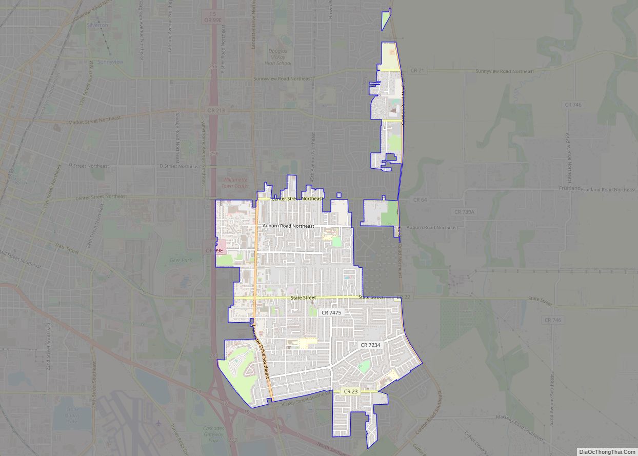
Keizer Road Map
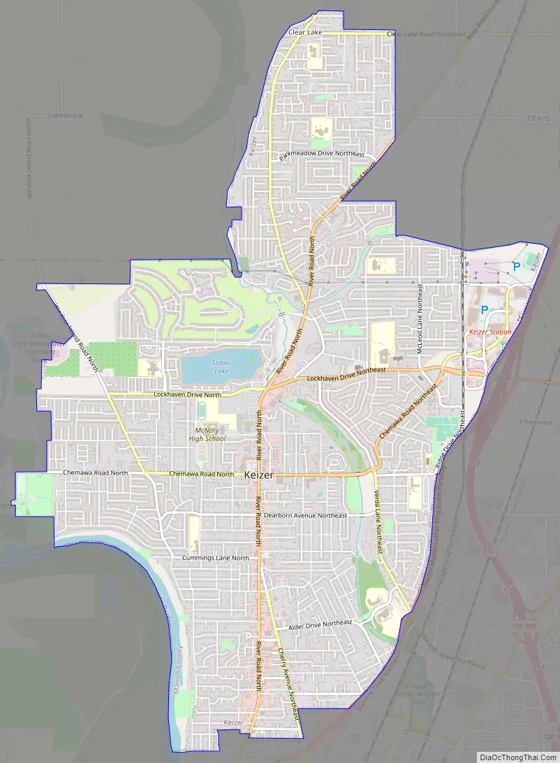
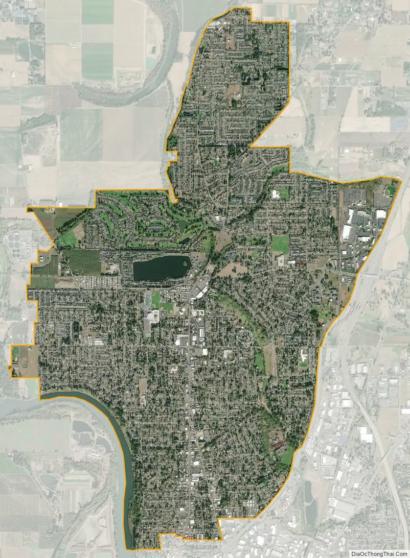
Keizer city Satellite Map
Geography
According to the United States Census Bureau, the city has a total area of 7.21 square miles (18.67 km), of which 7.09 square miles (18.36 km) is land and 0.12 square miles (0.31 km) is water.
See also
Map of Oregon State and its subdivision: Map of other states:- Alabama
- Alaska
- Arizona
- Arkansas
- California
- Colorado
- Connecticut
- Delaware
- District of Columbia
- Florida
- Georgia
- Hawaii
- Idaho
- Illinois
- Indiana
- Iowa
- Kansas
- Kentucky
- Louisiana
- Maine
- Maryland
- Massachusetts
- Michigan
- Minnesota
- Mississippi
- Missouri
- Montana
- Nebraska
- Nevada
- New Hampshire
- New Jersey
- New Mexico
- New York
- North Carolina
- North Dakota
- Ohio
- Oklahoma
- Oregon
- Pennsylvania
- Rhode Island
- South Carolina
- South Dakota
- Tennessee
- Texas
- Utah
- Vermont
- Virginia
- Washington
- West Virginia
- Wisconsin
- Wyoming