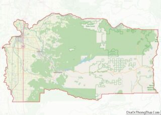
Lacomb is a census-designated place and unincorporated community in Linn County, Oregon, United States, located about 10 miles (16 km) northeast of Lebanon. It was named in December 1889 by W.J. Turnidge, a son of a pioneer. As of the 2019 Census it had a population of 481.
| Name: | Lacomb CDP |
|---|---|
| LSAD Code: | 57 |
| LSAD Description: | CDP (suffix) |
| State: | Oregon |
| County: | Linn County |
| Elevation: | 686 ft (209 m) |
| Total Area: | 3.98 sq mi (10.31 km²) |
| Land Area: | 3.98 sq mi (10.31 km²) |
| Water Area: | 0.00 sq mi (0.00 km²) |
| Total Population: | 575 |
| Population Density: | 144.36/sq mi (55.74/km²) |
| ZIP code: | 97355 |
| Area code: | 458 and 541 |
| FIPS code: | 4140150 |
| GNISfeature ID: | 1122880 |
Online Interactive Map
Click on ![]() to view map in "full screen" mode.
to view map in "full screen" mode.
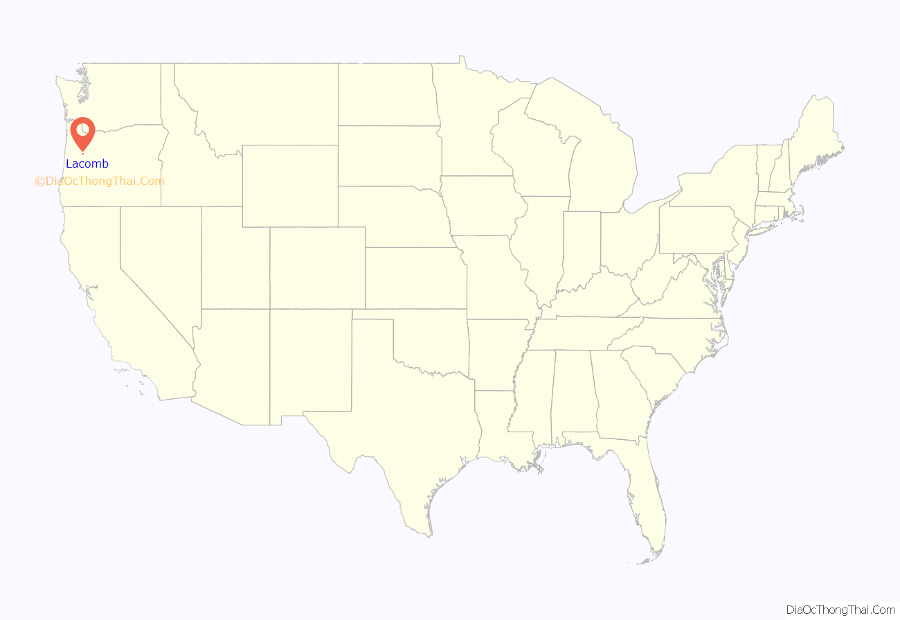
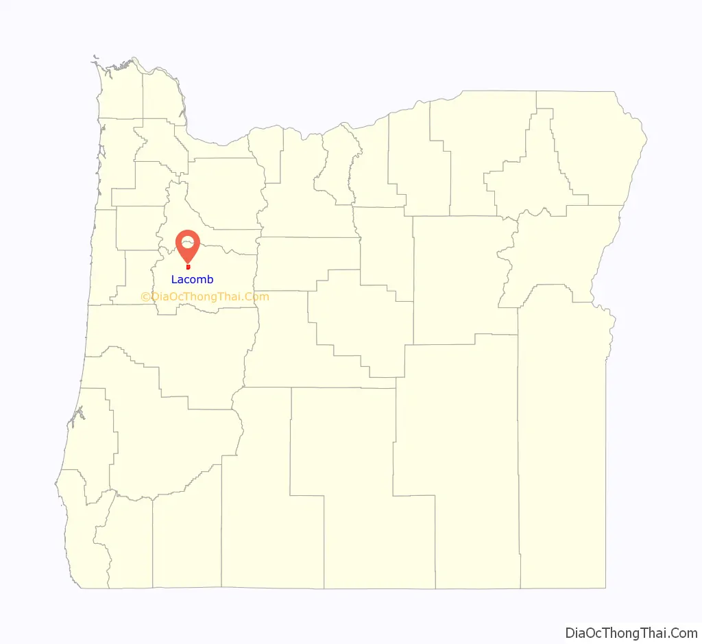
Lacomb location map. Where is Lacomb CDP?
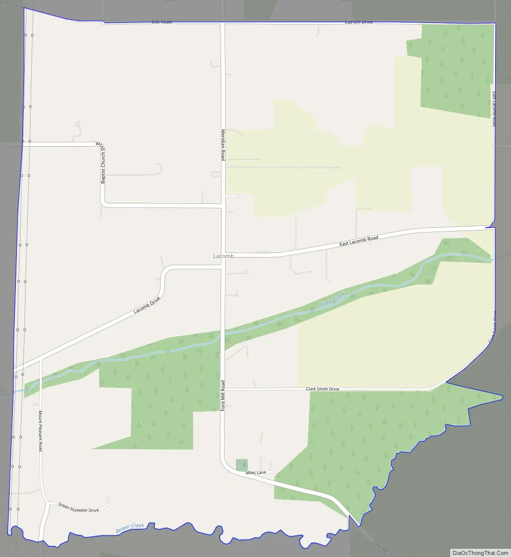
Lacomb Road Map
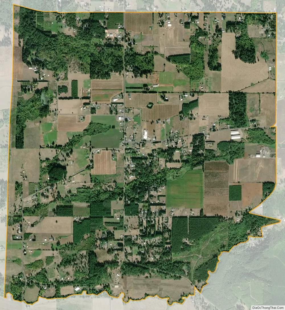
Lacomb city Satellite Map
See also
Map of Oregon State and its subdivision: Map of other states:- Alabama
- Alaska
- Arizona
- Arkansas
- California
- Colorado
- Connecticut
- Delaware
- District of Columbia
- Florida
- Georgia
- Hawaii
- Idaho
- Illinois
- Indiana
- Iowa
- Kansas
- Kentucky
- Louisiana
- Maine
- Maryland
- Massachusetts
- Michigan
- Minnesota
- Mississippi
- Missouri
- Montana
- Nebraska
- Nevada
- New Hampshire
- New Jersey
- New Mexico
- New York
- North Carolina
- North Dakota
- Ohio
- Oklahoma
- Oregon
- Pennsylvania
- Rhode Island
- South Carolina
- South Dakota
- Tennessee
- Texas
- Utah
- Vermont
- Virginia
- Washington
- West Virginia
- Wisconsin
- Wyoming