Manzanita /ˌmænzəˈniːtə/ is a coastal city in Tillamook County, Oregon, United States. It is located on U.S. Route 101 about 25 miles (40 km) south of Seaside and 25 miles (40 km) north of Tillamook. The population was 603 at the 2020 census.
| Name: | Manzanita city |
|---|---|
| LSAD Code: | 25 |
| LSAD Description: | city (suffix) |
| State: | Oregon |
| County: | Tillamook County |
| Incorporated: | 1946 |
| Elevation: | 78 ft (23.8 m) |
| Total Area: | 0.82 sq mi (2.13 km²) |
| Land Area: | 0.82 sq mi (2.13 km²) |
| Water Area: | 0.00 sq mi (0.00 km²) |
| Total Population: | 603 |
| Population Density: | 734.47/sq mi (283.48/km²) |
| ZIP code: | 97130 |
| Area code: | 503 |
| FIPS code: | 4145700 |
| GNISfeature ID: | 1123738 |
| Website: | www.ci.manzanita.or.us |
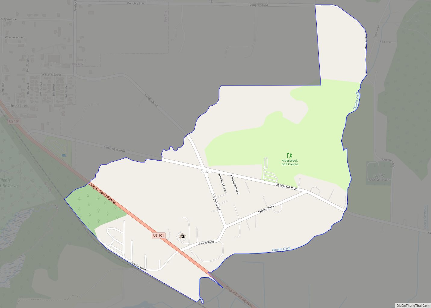
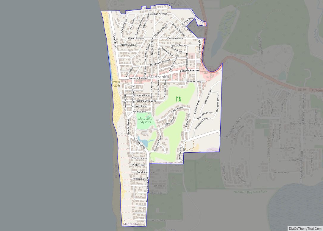
Online Interactive Map
Click on ![]() to view map in "full screen" mode.
to view map in "full screen" mode.
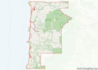
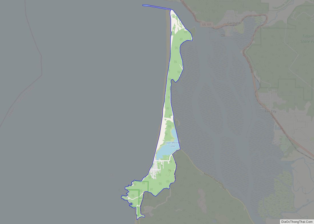
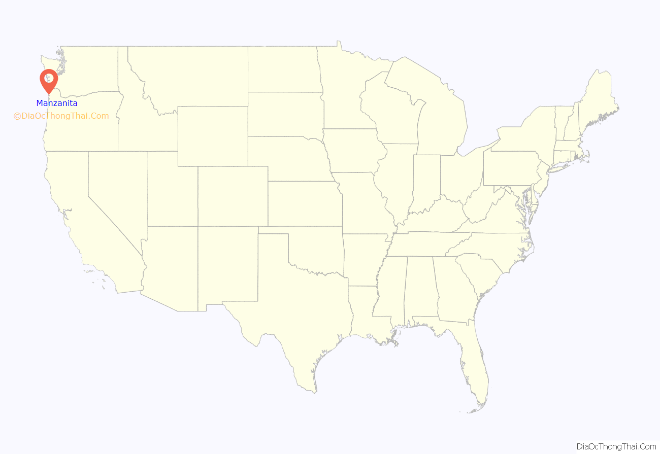
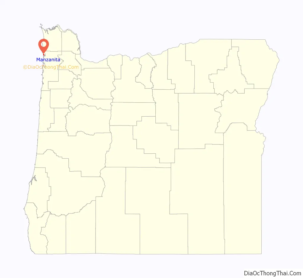
Manzanita location map. Where is Manzanita city?
History
The indigenous Tillamook people lived along the Oregon coast, including the Manzanita area (tidewaters of the Nehalem Bay), for about twelve thousand years. They suffered from smallpox and other illnesses brought by white settlers, and the few remaining Tillamook people were relocated to the Siletz and Grand Ronde reservations in the 1850s.
At least two of Oregon’s historical shipwrecks occurred off the Manzanita coast: the Glenesslin in 1913, and the Santo Cristo de Burgos (disappeared 1693) which has generated rumors of treasure buried on Neahkahnie Mountain.
Manzanita was platted as a beach resort in 1912. Manzanita post office was established in 1914 and named for the manzanita (Arctostaphylos sp.) plants that grow in the area. Manzanita means ‘little apple’ in Spanish.
Tornado
On the morning of October 14, 2016, an EF2 tornado, which had begun as a waterspout, hit Manzanita. Many buildings in the town were damaged, but no injuries were reported. The mayor of Manzanita declared a state of emergency in response.
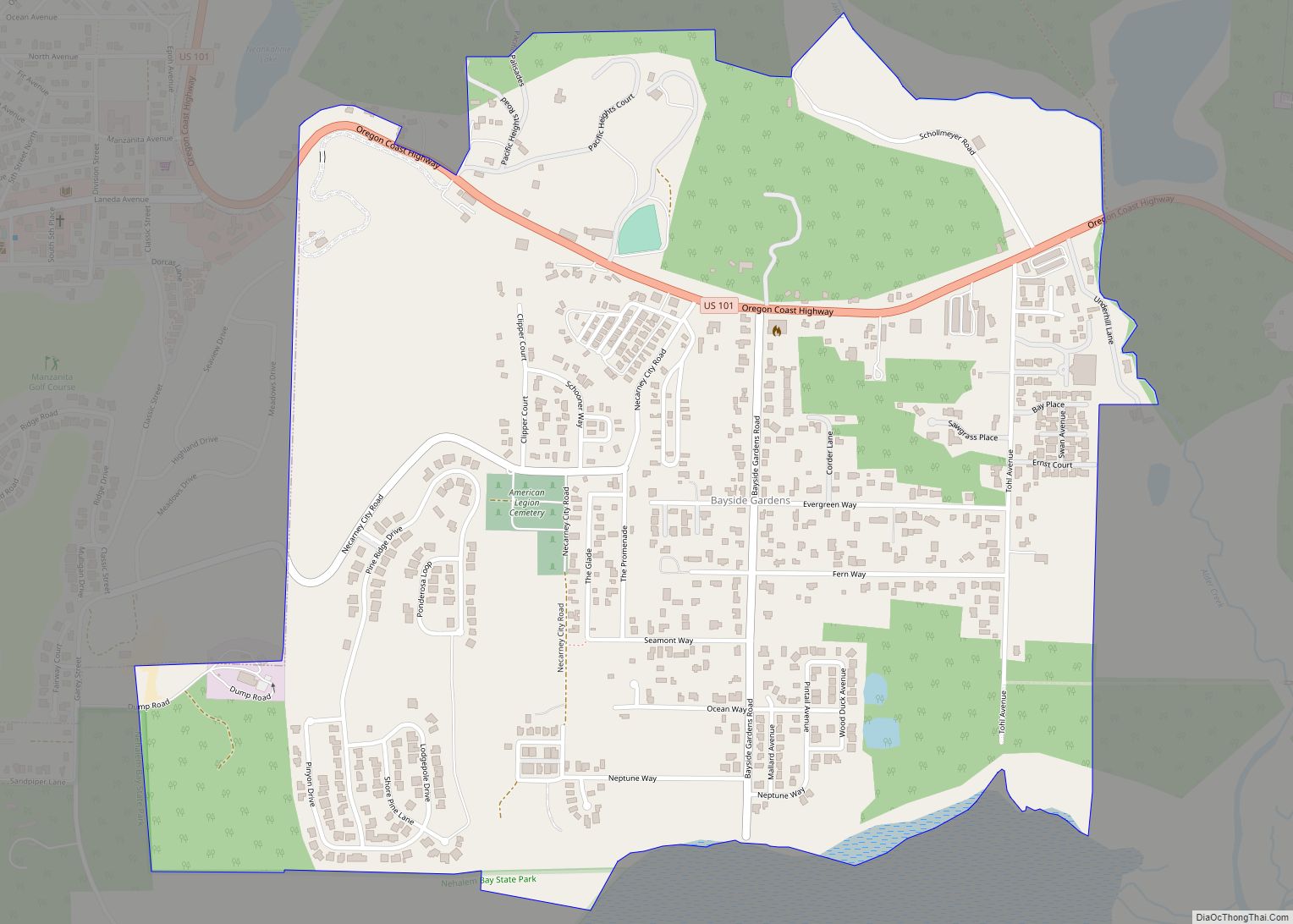
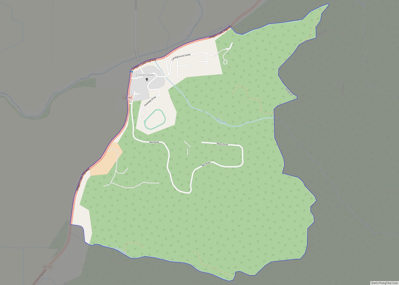
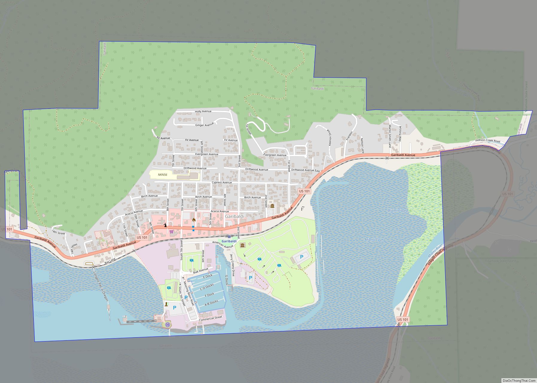
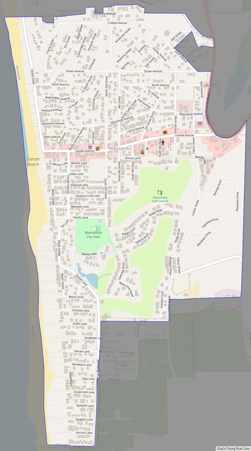
Manzanita Road Map
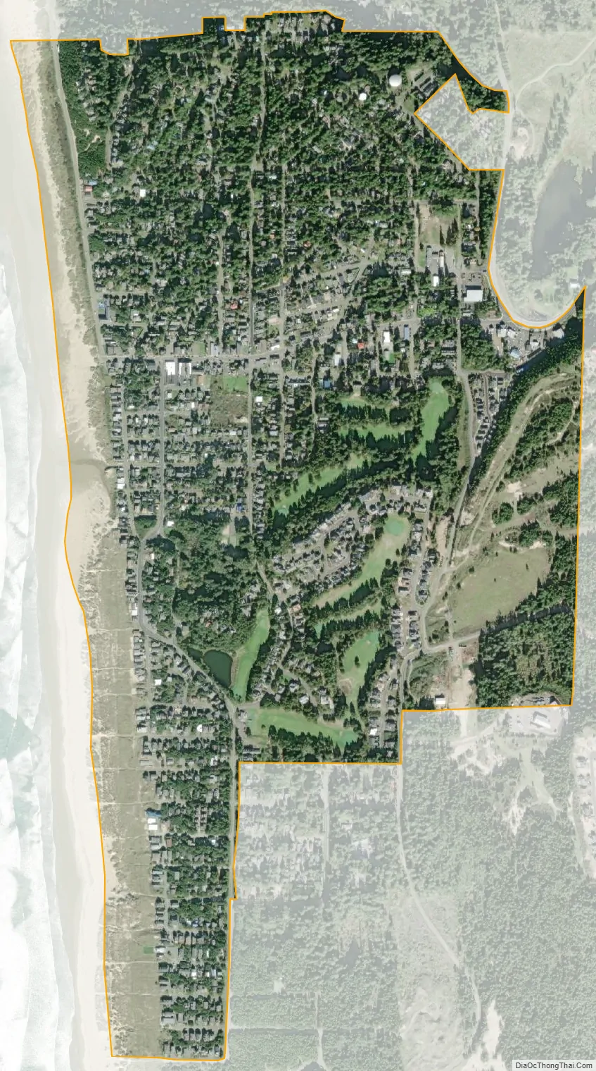
Manzanita city Satellite Map
Geography
According to the United States Census Bureau, the city has a total area of 0.82 square miles (2.12 km), all of it land.
See also
Map of Oregon State and its subdivision: Map of other states:- Alabama
- Alaska
- Arizona
- Arkansas
- California
- Colorado
- Connecticut
- Delaware
- District of Columbia
- Florida
- Georgia
- Hawaii
- Idaho
- Illinois
- Indiana
- Iowa
- Kansas
- Kentucky
- Louisiana
- Maine
- Maryland
- Massachusetts
- Michigan
- Minnesota
- Mississippi
- Missouri
- Montana
- Nebraska
- Nevada
- New Hampshire
- New Jersey
- New Mexico
- New York
- North Carolina
- North Dakota
- Ohio
- Oklahoma
- Oregon
- Pennsylvania
- Rhode Island
- South Carolina
- South Dakota
- Tennessee
- Texas
- Utah
- Vermont
- Virginia
- Washington
- West Virginia
- Wisconsin
- Wyoming