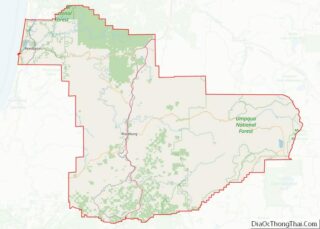
Melrose is an unincorporated community and census-designated place in Douglas County, Oregon, United States. As of the 2010 census, it had a population of 735. It was named by Henry Scott for Melrose Abbey in Scotland. Its post office, at first named Hogan, was established on May 18, 1887, and James McKinney was the first postmaster. Named earlier on as French Settlement, Oregon.
| Name: | Melrose CDP |
|---|---|
| LSAD Code: | 57 |
| LSAD Description: | CDP (suffix) |
| State: | Oregon |
| County: | Douglas County |
| Elevation: | 420 ft (128 m) |
| Total Area: | 4.35 sq mi (11.26 km²) |
| Land Area: | 4.35 sq mi (11.26 km²) |
| Water Area: | 0.00 sq mi (0.00 km²) |
| Total Population: | 834 |
| Population Density: | 191.77/sq mi (74.05/km²) |
| ZIP code: | 97471 |
| Area code: | 458 and 541 |
| FIPS code: | 4147350 |
| GNISfeature ID: | 1124051 |
Online Interactive Map
Click on ![]() to view map in "full screen" mode.
to view map in "full screen" mode.
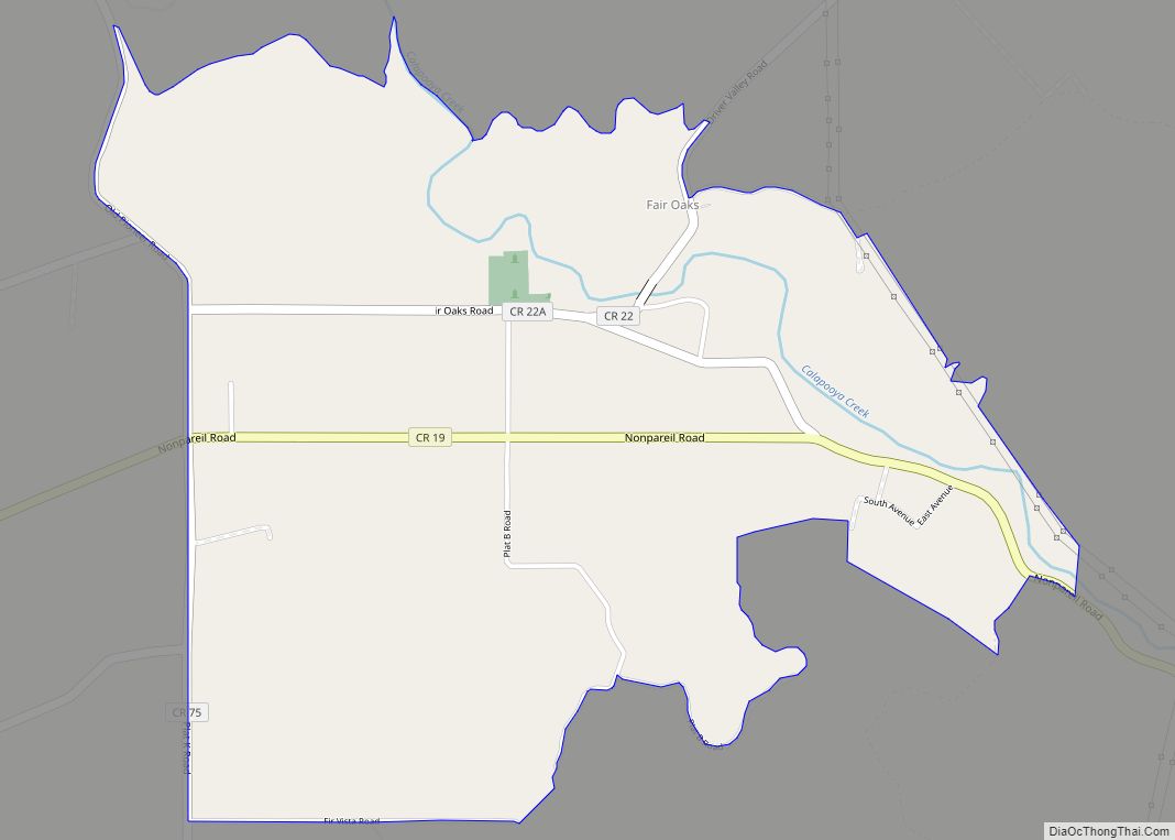
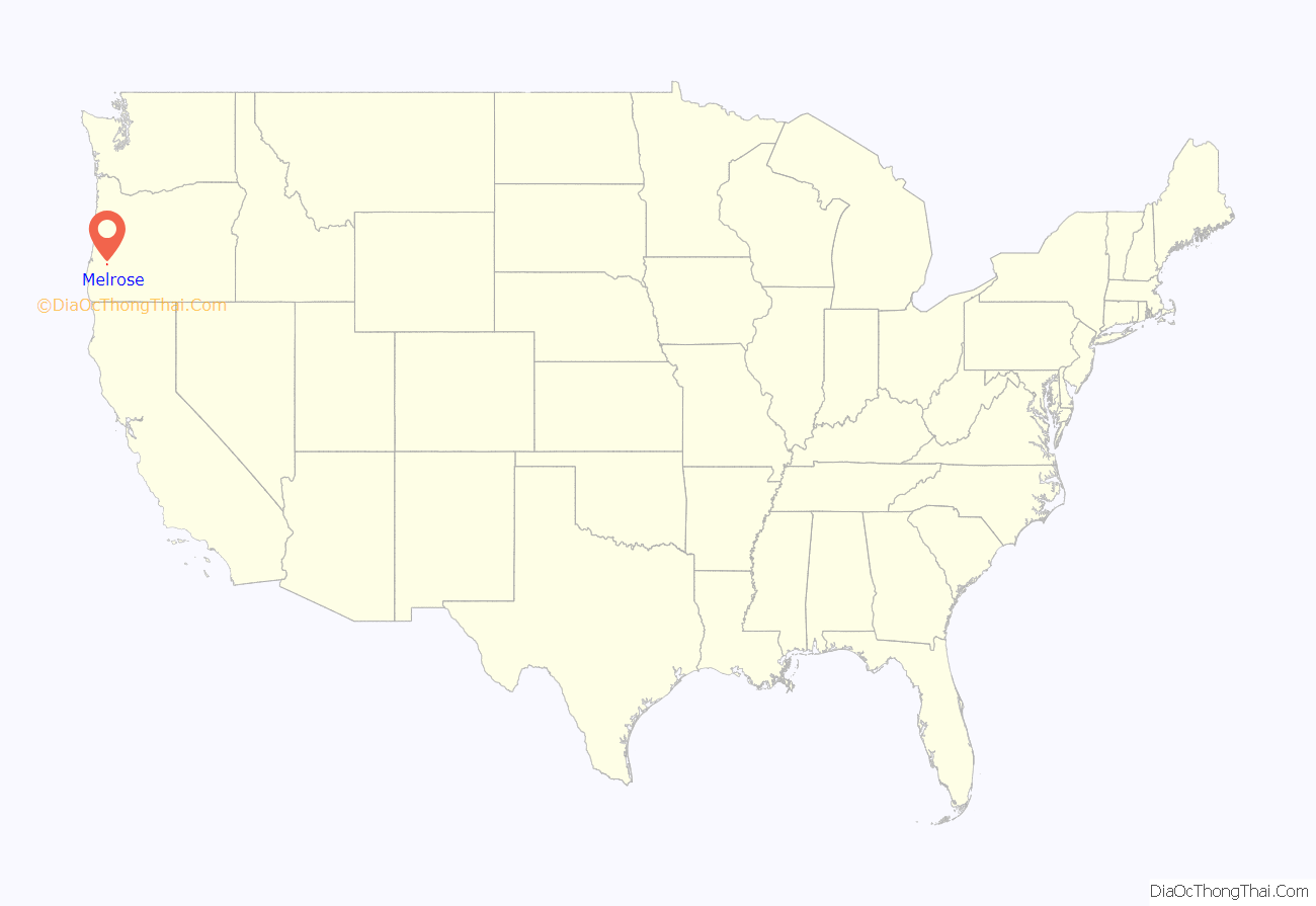
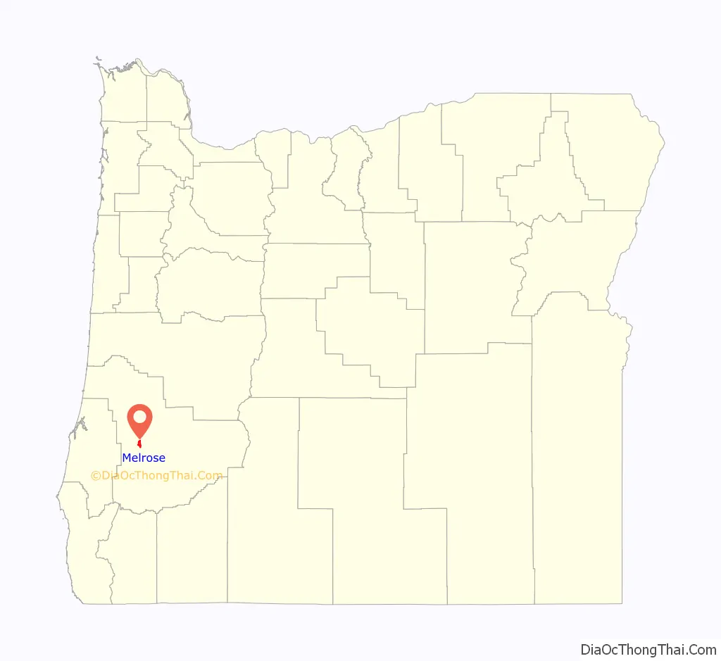
Melrose location map. Where is Melrose CDP?
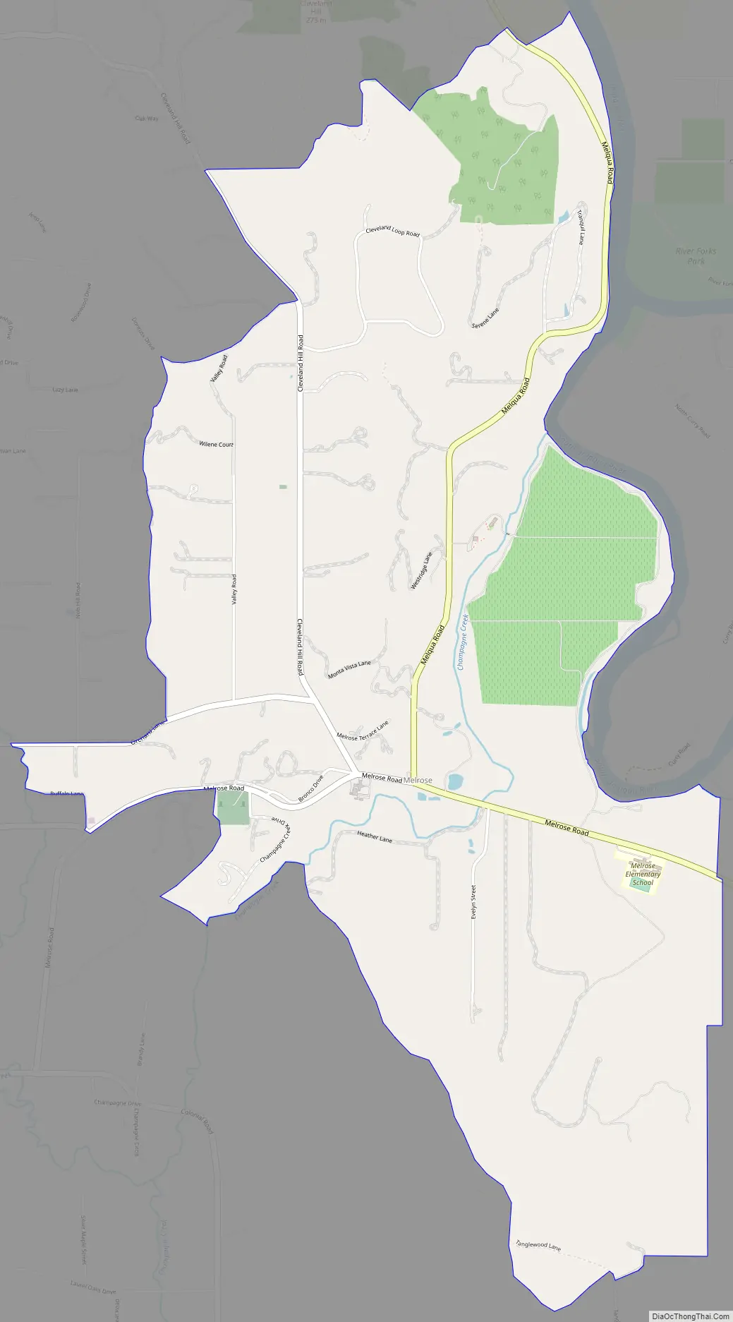
Melrose Road Map
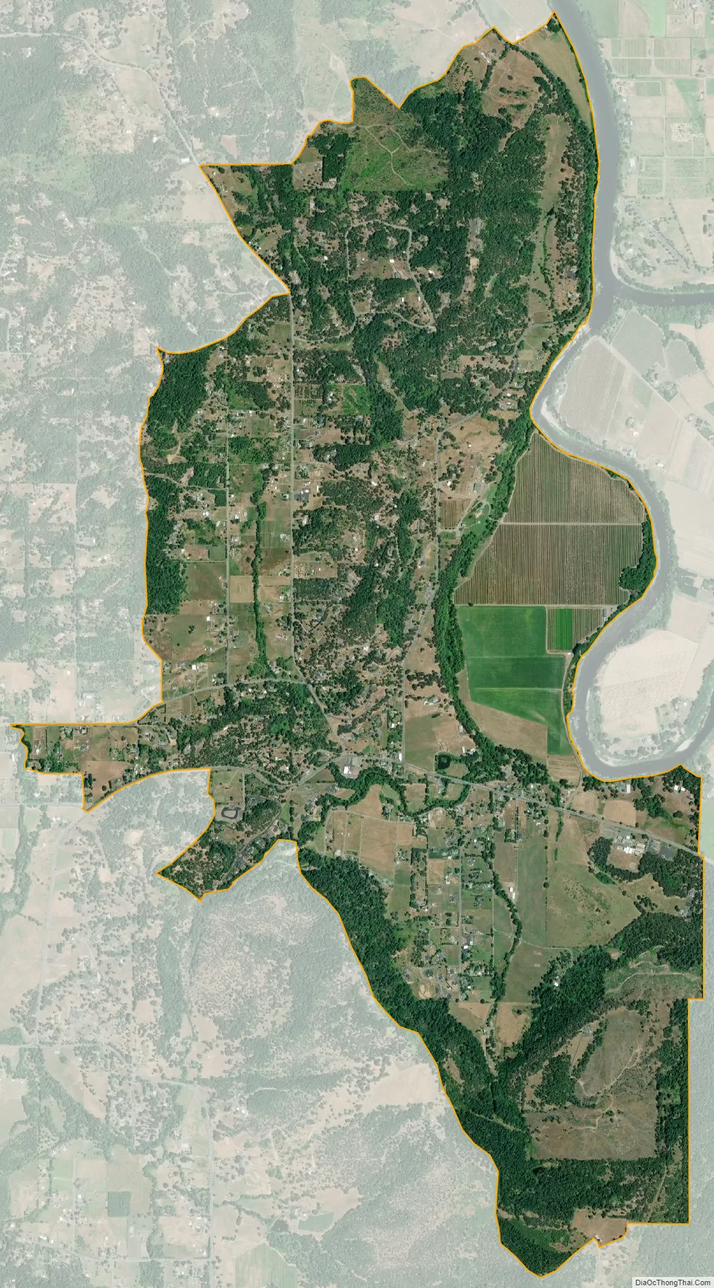
Melrose city Satellite Map
See also
Map of Oregon State and its subdivision: Map of other states:- Alabama
- Alaska
- Arizona
- Arkansas
- California
- Colorado
- Connecticut
- Delaware
- District of Columbia
- Florida
- Georgia
- Hawaii
- Idaho
- Illinois
- Indiana
- Iowa
- Kansas
- Kentucky
- Louisiana
- Maine
- Maryland
- Massachusetts
- Michigan
- Minnesota
- Mississippi
- Missouri
- Montana
- Nebraska
- Nevada
- New Hampshire
- New Jersey
- New Mexico
- New York
- North Carolina
- North Dakota
- Ohio
- Oklahoma
- Oregon
- Pennsylvania
- Rhode Island
- South Carolina
- South Dakota
- Tennessee
- Texas
- Utah
- Vermont
- Virginia
- Washington
- West Virginia
- Wisconsin
- Wyoming