Molalla /məˈlɑːlə/ is a city in Clackamas County, Oregon. The population was 10,228 at the time of the 2020 census.
| Name: | Molalla city |
|---|---|
| LSAD Code: | 25 |
| LSAD Description: | city (suffix) |
| State: | Oregon |
| County: | Clackamas County |
| Incorporated: | 1913 |
| Elevation: | 371 ft (113 m) |
| Total Area: | 2.53 sq mi (6.55 km²) |
| Land Area: | 2.48 sq mi (6.42 km²) |
| Water Area: | 0.05 sq mi (0.12 km²) |
| Total Population: | 10,228 |
| Population Density: | 4,124.19/sq mi (1,592.40/km²) |
| ZIP code: | 97038 |
| Area code: | 503 |
| FIPS code: | 4149450 |
| GNISfeature ID: | 1124282 |
| Website: | www.cityofmolalla.com |
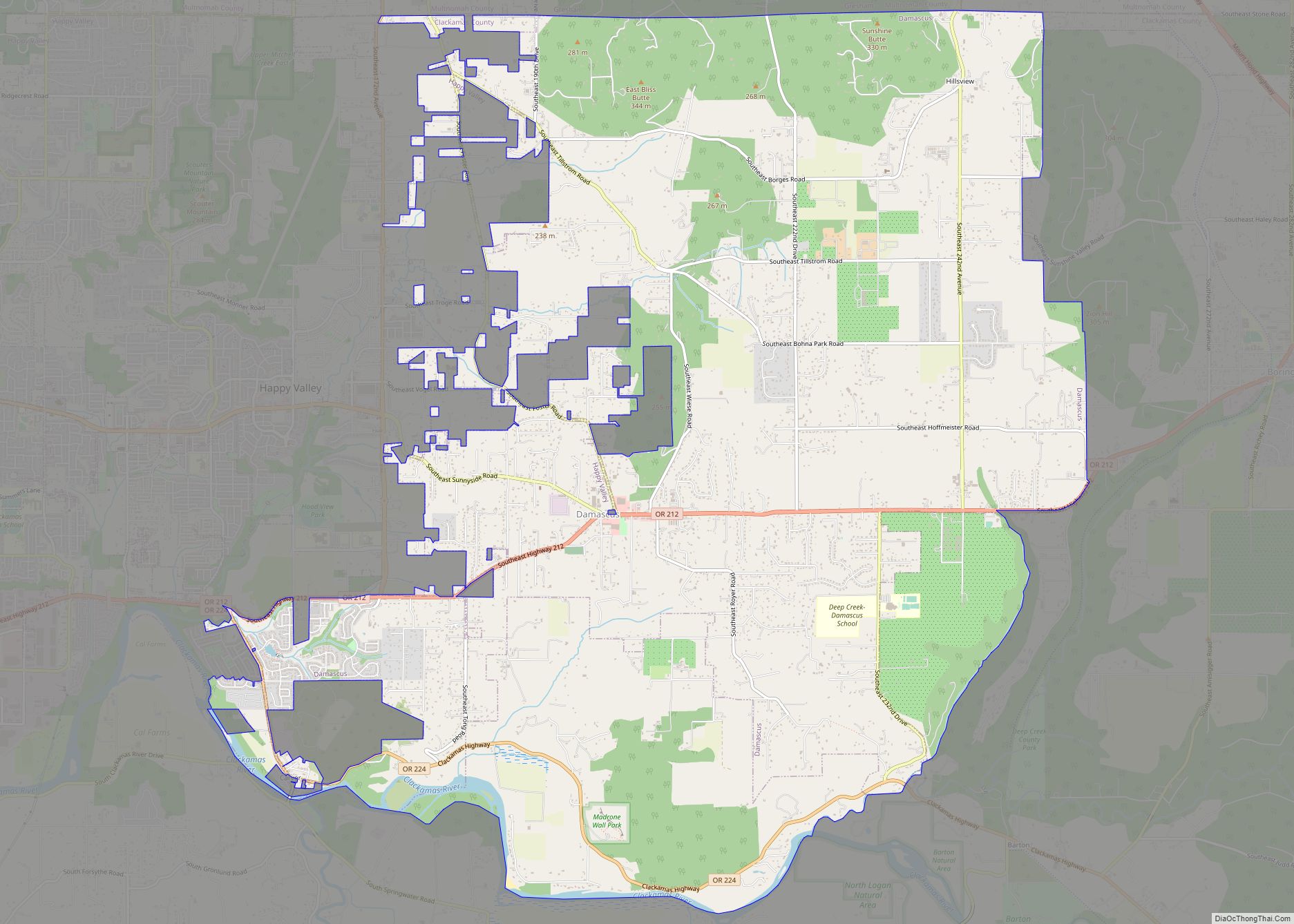
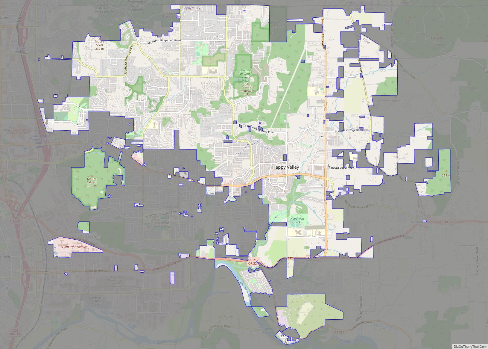
Online Interactive Map
Click on ![]() to view map in "full screen" mode.
to view map in "full screen" mode.
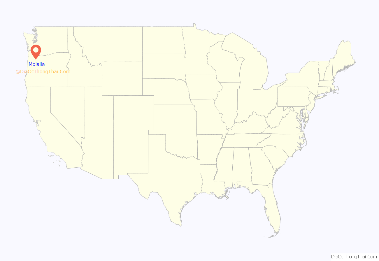
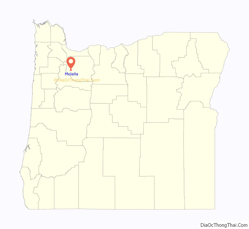
Molalla location map. Where is Molalla city?
History
Molalla was named after the Molalla River, which in turn was named for the Molala, a Native American tribe that inhabited the area. William H. Vaughan took up a donation land claim in the area in 1844. Molalla post office was established in 1850, near the site of Liberal, and was discontinued in 1851. The post office was reestablished in 1868 and it ran until 1874, then was reestablished in 1876, which is when it was probably placed at the present location of Molalla.
Since the late 1990s, the city experienced a surge in growth and expansion in the residential sector. In 2000, a number of franchised business have located in Molalla. In 2002, Molalla installed its first stoplight at the intersection of Oregon Route 211 and Oregon Route 213 because of the traffic brought by the increased business activity.
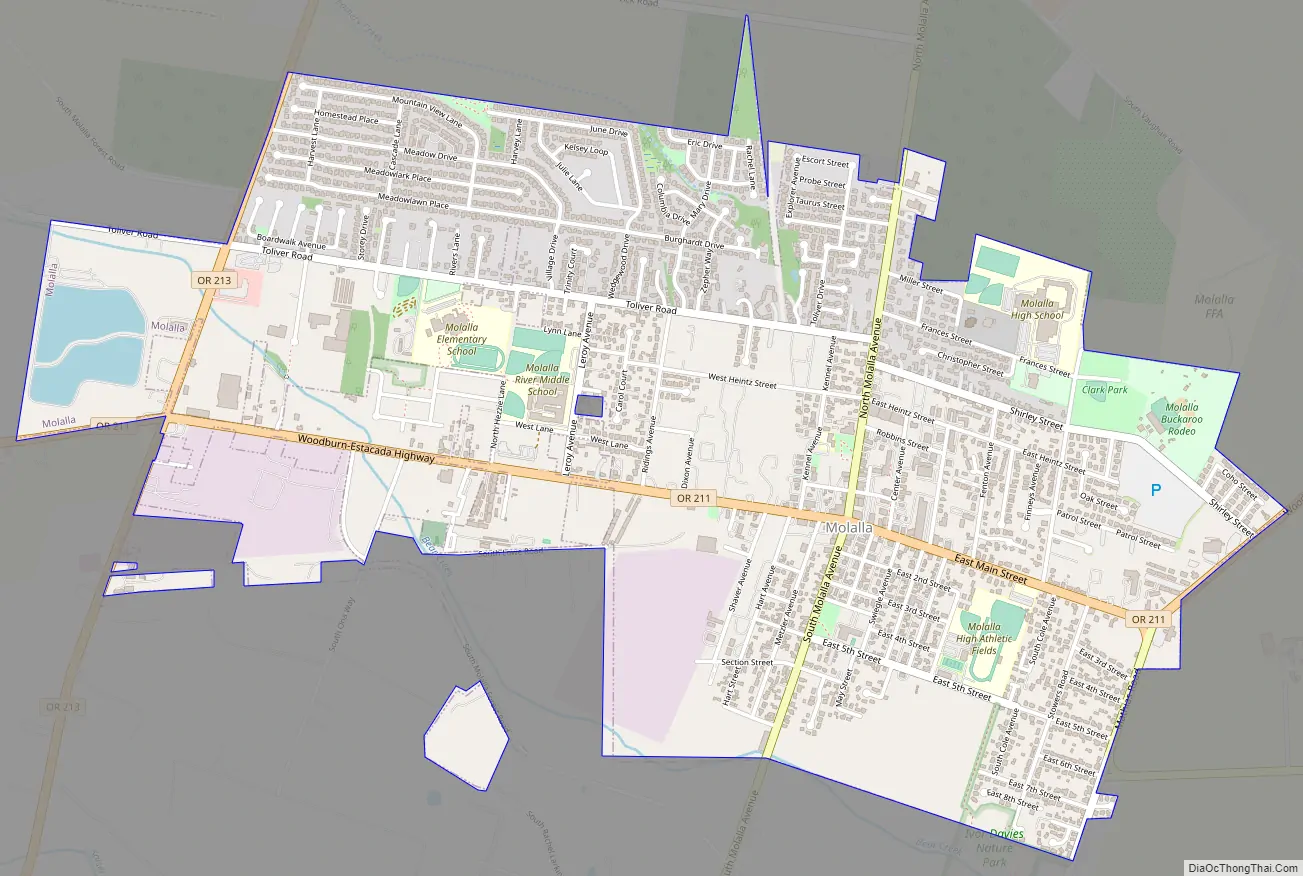
Molalla Road Map
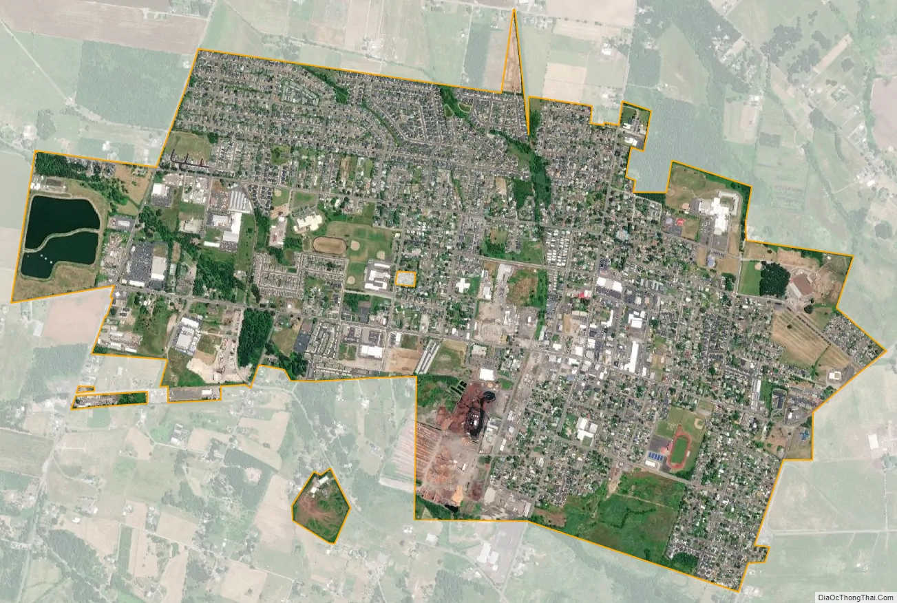
Molalla city Satellite Map
Geography
Molalla is located in the foothills of the Cascade Range, near the Mount Hood National Forest, 15 miles (24 km) south of Oregon City and 13 miles (21 km) from Interstate 5. Molalla is surrounded by farms and rural residential development. There are many rock quarries, and thousands of acres of private timberlands, that feed natural resource materials into the economy. Several of the tree farms are managed for totally maintained and sustained forest.
According to the United States Census Bureau, the city has a total area of 2.26 square miles (5.85 km), of which, 2.21 square miles (5.72 km) is land and 0.05 square miles (0.13 km) is water.
Climate
This region experiences warm (but not hot) and dry summers, with no average monthly temperatures above 71.6 °F (22.0 °C). According to the Köppen Climate Classification system, Molalla has a warm-summer Mediterranean climate, abbreviated “Csb” on climate maps.
Molalla receives precipitation ranging from an average of 0.60 inches (15 mm) in July to an average of 6.62 inches (168 mm) in December.
See also
Map of Oregon State and its subdivision: Map of other states:- Alabama
- Alaska
- Arizona
- Arkansas
- California
- Colorado
- Connecticut
- Delaware
- District of Columbia
- Florida
- Georgia
- Hawaii
- Idaho
- Illinois
- Indiana
- Iowa
- Kansas
- Kentucky
- Louisiana
- Maine
- Maryland
- Massachusetts
- Michigan
- Minnesota
- Mississippi
- Missouri
- Montana
- Nebraska
- Nevada
- New Hampshire
- New Jersey
- New Mexico
- New York
- North Carolina
- North Dakota
- Ohio
- Oklahoma
- Oregon
- Pennsylvania
- Rhode Island
- South Carolina
- South Dakota
- Tennessee
- Texas
- Utah
- Vermont
- Virginia
- Washington
- West Virginia
- Wisconsin
- Wyoming