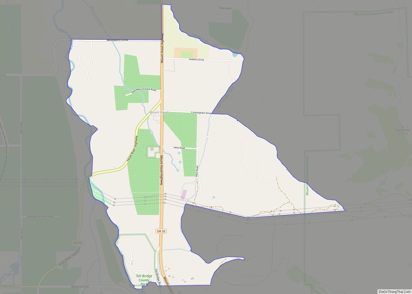
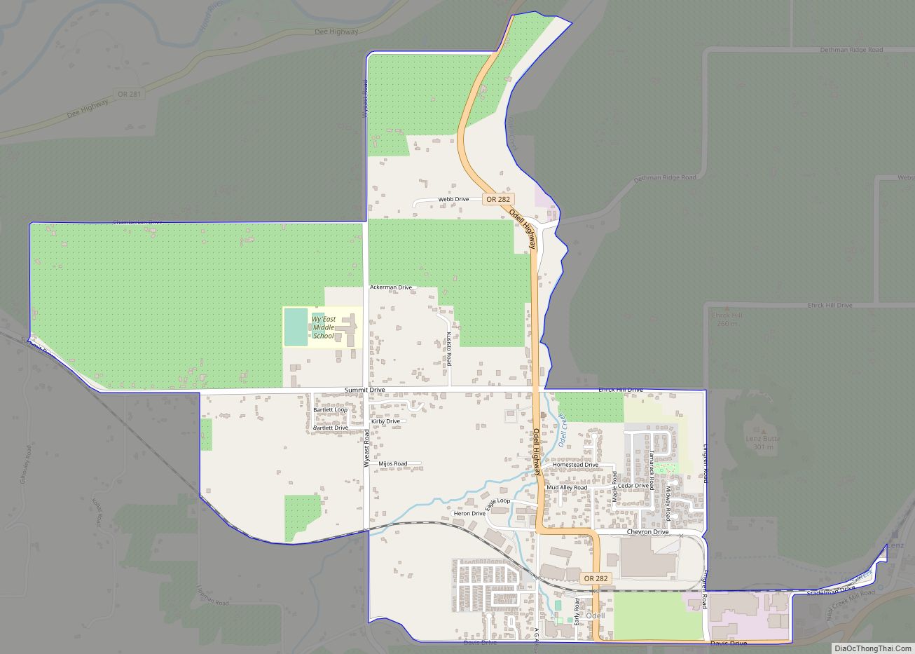
Mount Hood is an unincorporated community and census-designated place (CDP) in Hood River County, Oregon, United States, about 3 miles (5 km) northeast of Parkdale on Oregon Route 35. As of the 2010 census it had a population of 286. Mount Hood is the terminus of Oregon Route 281, the Hood River Highway.
The community was developed on land owned by a settler named Tieman, and the post office was named for Mount Hood, the most notable object in the landscape.
In 1976, the United States Postal Service consolidated the post office with that of Parkdale, which was the larger community. Local residents preferred the name “Mount Hood”, however, so the post office was named Mount Hood Parkdale.
There were two other localities with post offices named Mount Hood in Oregon, one in Wasco County and one in Yamhill County. The Wasco County post office ran from 1872–1878 and the Yamhill County post office ran from 1854–1862. Both places were probably named for their views of Mount Hood.
| Name: | Mount Hood CDP |
|---|---|
| LSAD Code: | 57 |
| LSAD Description: | CDP (suffix) |
| State: | Oregon |
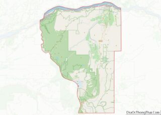
| County: | Hood River County |
| Elevation: | 1,523 ft (464 m) |
| Total Area: | 1.92 sq mi (4.97 km²) |
| Land Area: | 1.92 sq mi (4.97 km²) |
| Water Area: | 0.00 sq mi (0.00 km²) |
| Total Population: | 310 |
| Population Density: | 161.54/sq mi (62.37/km²) |
| ZIP code: | 97041 (Mount Hood Parkdale) |
| Area code: | 541 |
| FIPS code: | 4150200 |
| GNISfeature ID: | 2611768 |
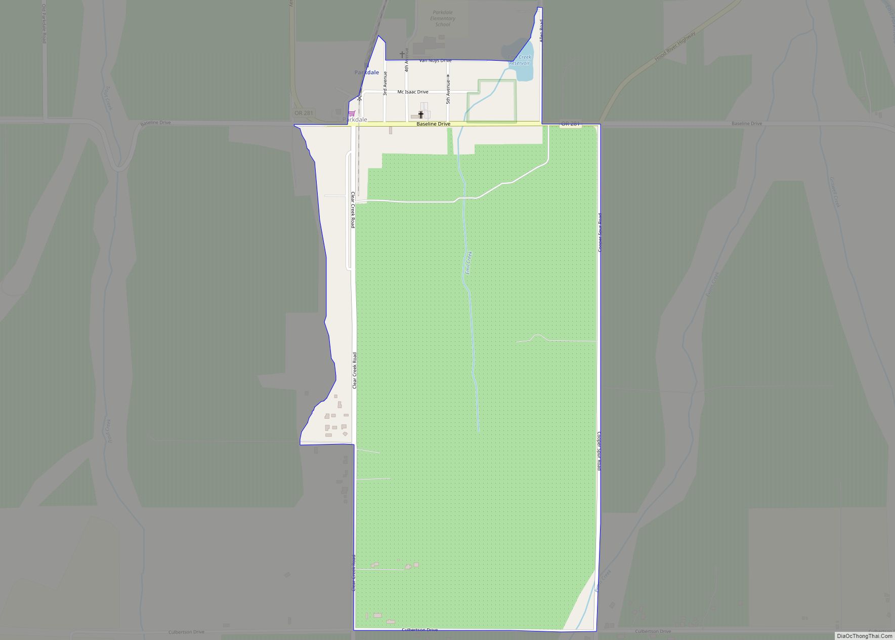
Online Interactive Map
Click on ![]() to view map in "full screen" mode.
to view map in "full screen" mode.
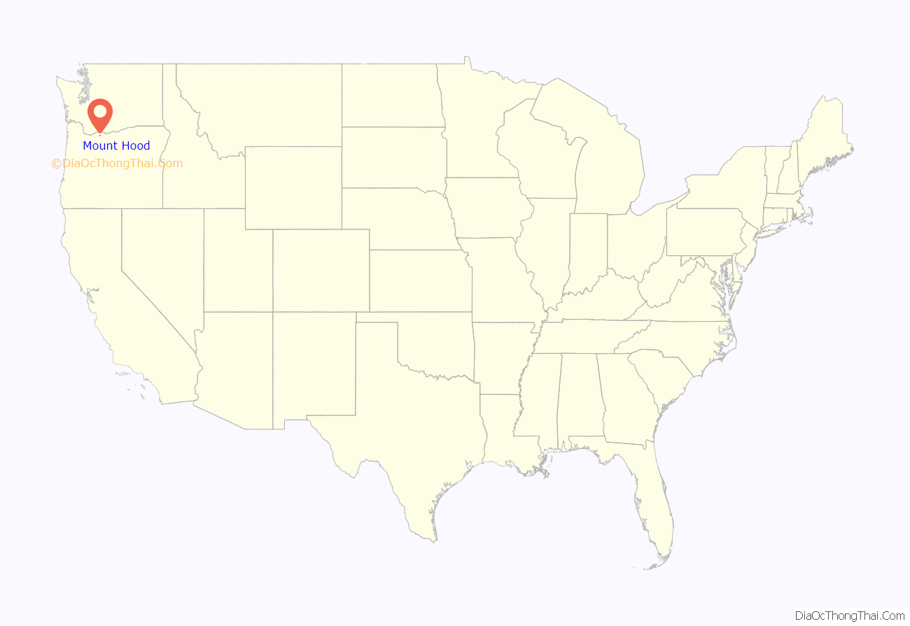
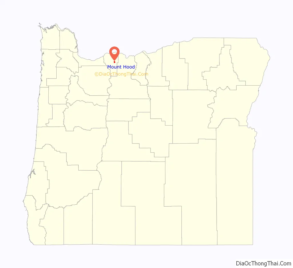
Mount Hood location map. Where is Mount Hood CDP?
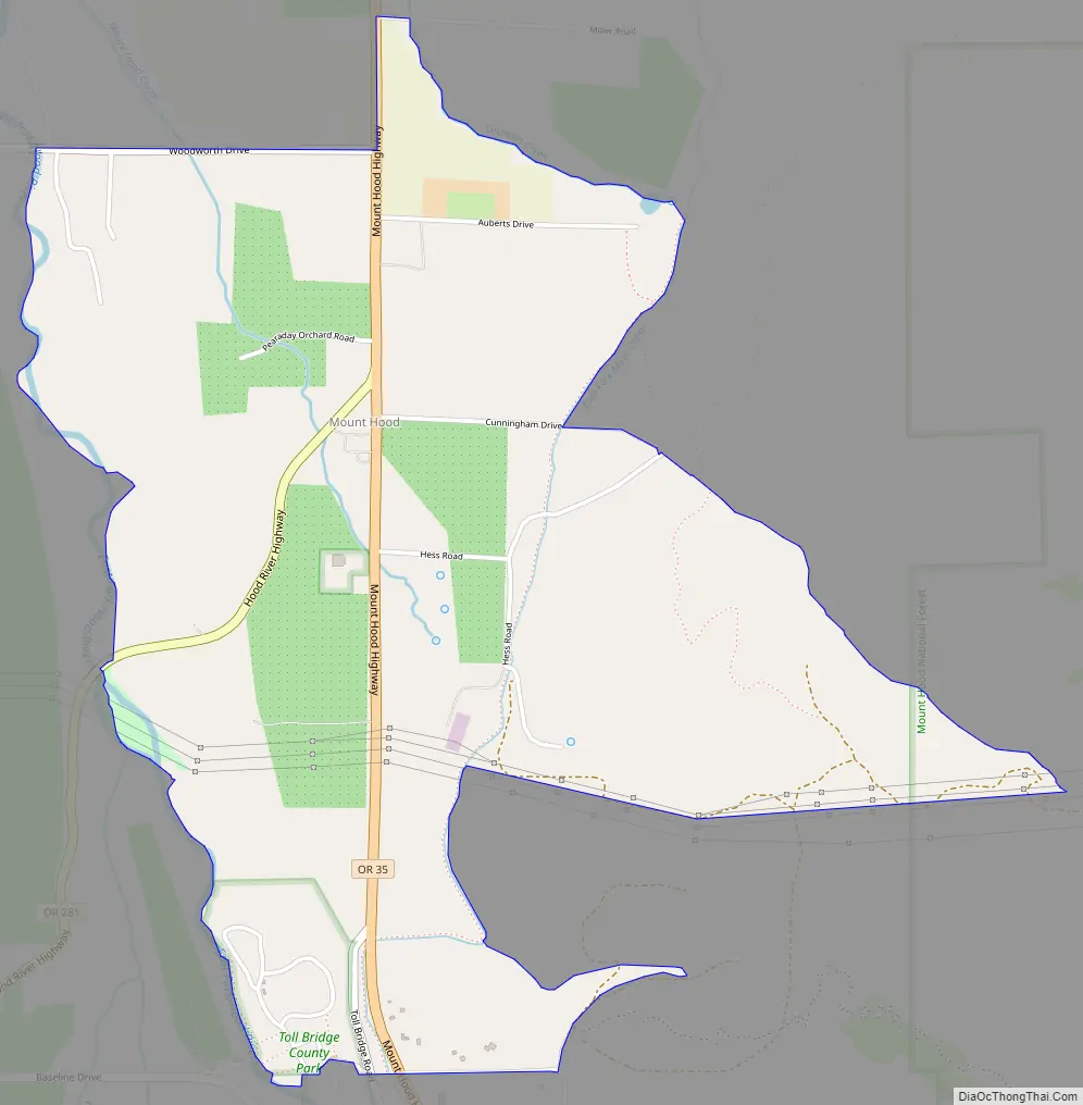
Mount Hood Road Map
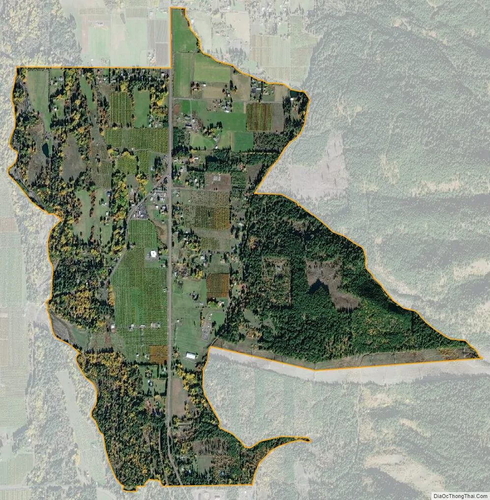
Mount Hood city Satellite Map
See also
Map of Oregon State and its subdivision: Map of other states:- Alabama
- Alaska
- Arizona
- Arkansas
- California
- Colorado
- Connecticut
- Delaware
- District of Columbia
- Florida
- Georgia
- Hawaii
- Idaho
- Illinois
- Indiana
- Iowa
- Kansas
- Kentucky
- Louisiana
- Maine
- Maryland
- Massachusetts
- Michigan
- Minnesota
- Mississippi
- Missouri
- Montana
- Nebraska
- Nevada
- New Hampshire
- New Jersey
- New Mexico
- New York
- North Carolina
- North Dakota
- Ohio
- Oklahoma
- Oregon
- Pennsylvania
- Rhode Island
- South Carolina
- South Dakota
- Tennessee
- Texas
- Utah
- Vermont
- Virginia
- Washington
- West Virginia
- Wisconsin
- Wyoming