Myrtle Creek is a city in Douglas County, Oregon, United States. The population was 3,439 at the 2010 census.
| Name: | Myrtle Creek city |
|---|---|
| LSAD Code: | 25 |
| LSAD Description: | city (suffix) |
| State: | Oregon |
| County: | Douglas County |
| Incorporated: | 1893 |
| Elevation: | 610 ft (190 m) |
| Total Area: | 2.50 sq mi (6.47 km²) |
| Land Area: | 2.50 sq mi (6.47 km²) |
| Water Area: | 0.00 sq mi (0.00 km²) |
| Total Population: | 3,481 |
| Population Density: | 1,394.07/sq mi (538.25/km²) |
| ZIP code: | 97457 |
| Area code: | 541 |
| FIPS code: | 4150950 |
| GNISfeature ID: | 2411204 |
| Website: | cityofmyrtlecreek.com |
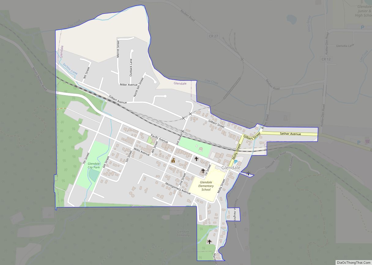
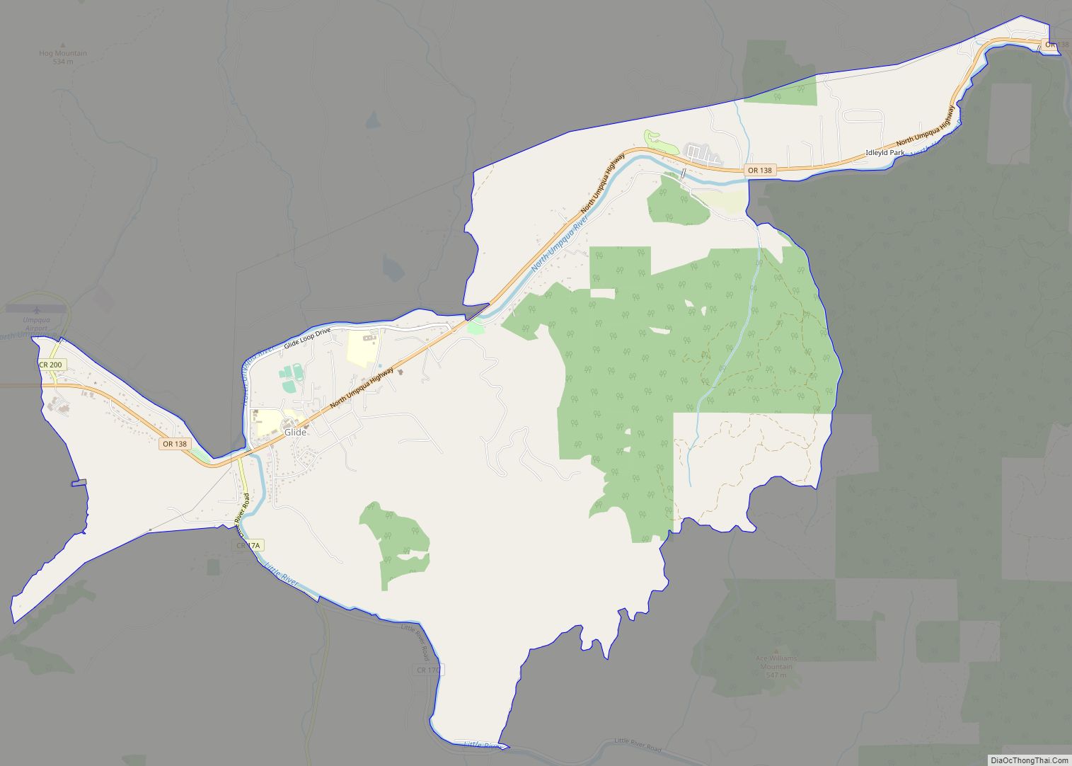
Online Interactive Map
Click on ![]() to view map in "full screen" mode.
to view map in "full screen" mode.
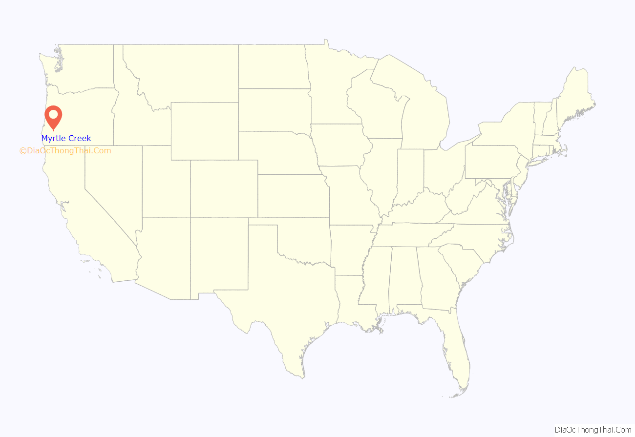
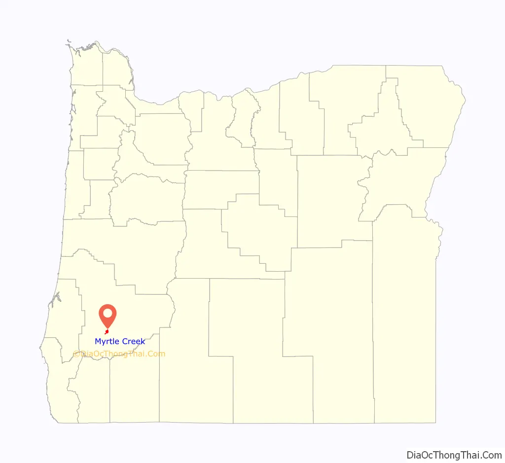
Myrtle Creek location map. Where is Myrtle Creek city?
History
Myrtle Creek was named for the groves of Oregon myrtle (also known as California laurel), growing nearby. A Myrtle Creek post office was established in 1854 with Lazarus Wright as postmaster. In 1862, Wright sold the land for a town site to John Hall, who laid out Myrtle Creek in 1865.
The city has two covered bridges. The first, Neal Lane Bridge, carries Neal Lane Road over South Myrtle Creek on the southeastern outskirts of the city. It was built in 1939. At 42 feet (13 m) long, it is one of the shortest covered bridges in Oregon and the only one with a kingpost truss.
In 1990, the City of Myrtle Creek acquired timbers from the former Horse Creek Bridge in Lane County and used them to build another covered bridge over Myrtle Creek. The bridge connects a parking area to the city’s Mill Site Park.
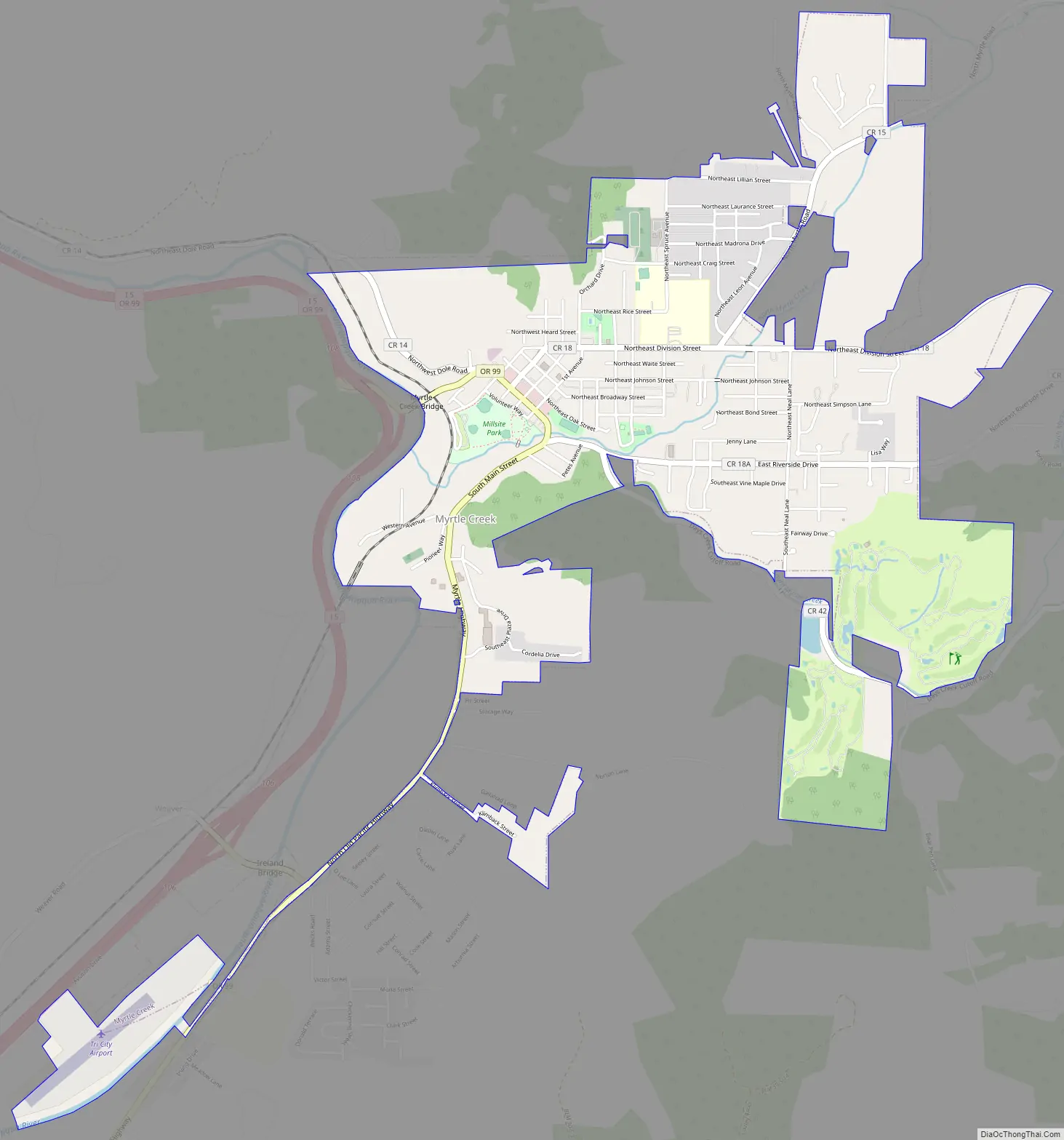
Myrtle Creek Road Map
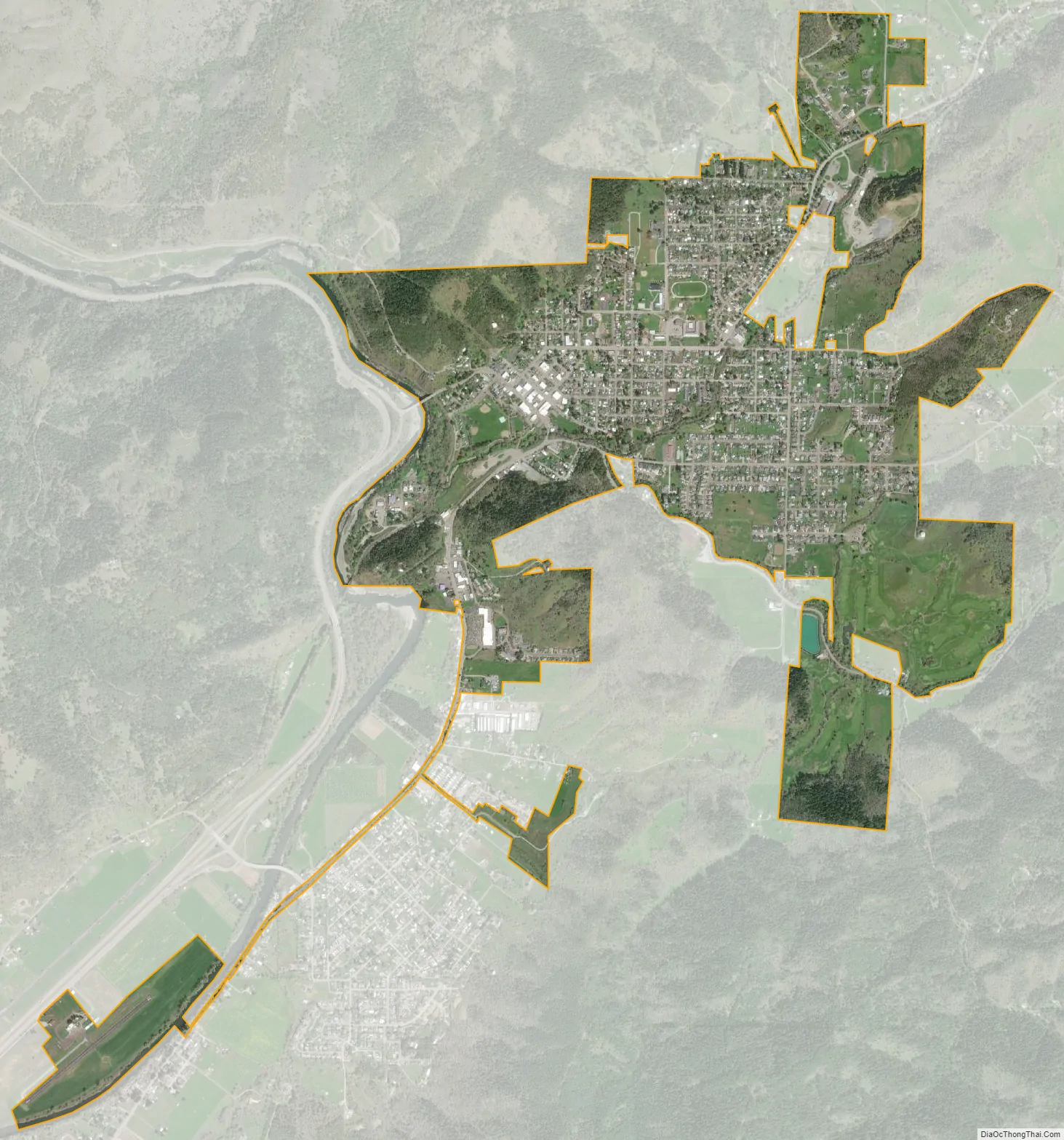
Myrtle Creek city Satellite Map
Geography
Myrtle Creek lies along Interstate 5 south of Roseburg and slightly north of Tri City and Canyonville in southern Douglas County. Two streams, North Myrtle Creek and South Myrtle Creek, merge at the city to form Myrtle Creek, a short tributary of the South Umpqua River.
According to the United States Census Bureau, the city has a total area of 2.51 square miles (6.50 km), all of it land.
Climate
This region experiences warm (but not hot) and dry summers, with no average monthly temperatures above 71.6 °F (22.0 °C). According to the Köppen Climate Classification system, Myrtle Creek has a warm-summer Mediterranean climate, abbreviated “Csb” on climate maps.
See also
Map of Oregon State and its subdivision: Map of other states:- Alabama
- Alaska
- Arizona
- Arkansas
- California
- Colorado
- Connecticut
- Delaware
- District of Columbia
- Florida
- Georgia
- Hawaii
- Idaho
- Illinois
- Indiana
- Iowa
- Kansas
- Kentucky
- Louisiana
- Maine
- Maryland
- Massachusetts
- Michigan
- Minnesota
- Mississippi
- Missouri
- Montana
- Nebraska
- Nevada
- New Hampshire
- New Jersey
- New Mexico
- New York
- North Carolina
- North Dakota
- Ohio
- Oklahoma
- Oregon
- Pennsylvania
- Rhode Island
- South Carolina
- South Dakota
- Tennessee
- Texas
- Utah
- Vermont
- Virginia
- Washington
- West Virginia
- Wisconsin
- Wyoming