Nehalem /niːˈheɪləm/ is a city in Tillamook County, Oregon, United States. Incorporated in 1889, the city lies along the Nehalem River and Nehalem Bay near the Pacific Ocean. It is bisected by U.S. Route 101. The population was 355 at the 2020 census.
| Name: | Nehalem city |
|---|---|
| LSAD Code: | 25 |
| LSAD Description: | city (suffix) |
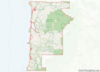
| State: | Oregon |
| County: | Tillamook County |
| Incorporated: | 1889 |
| Elevation: | 11 ft (3.35 m) |
| Total Area: | 0.27 sq mi (0.69 km²) |
| Land Area: | 0.27 sq mi (0.69 km²) |
| Water Area: | 0.00 sq mi (0.00 km²) |
| Total Population: | 270 |
| Population Density: | 1,007.46/sq mi (388.50/km²) |
| ZIP code: | 97131 |
| Area code: | 503 |
| FIPS code: | 4151700 |
| GNISfeature ID: | 1136565 |
| Website: | www.ci.nehalem.or.us |
Online Interactive Map
Click on ![]() to view map in "full screen" mode.
to view map in "full screen" mode.
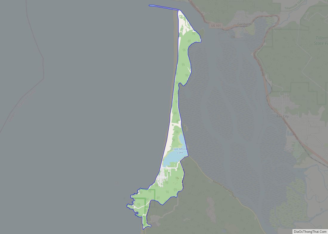
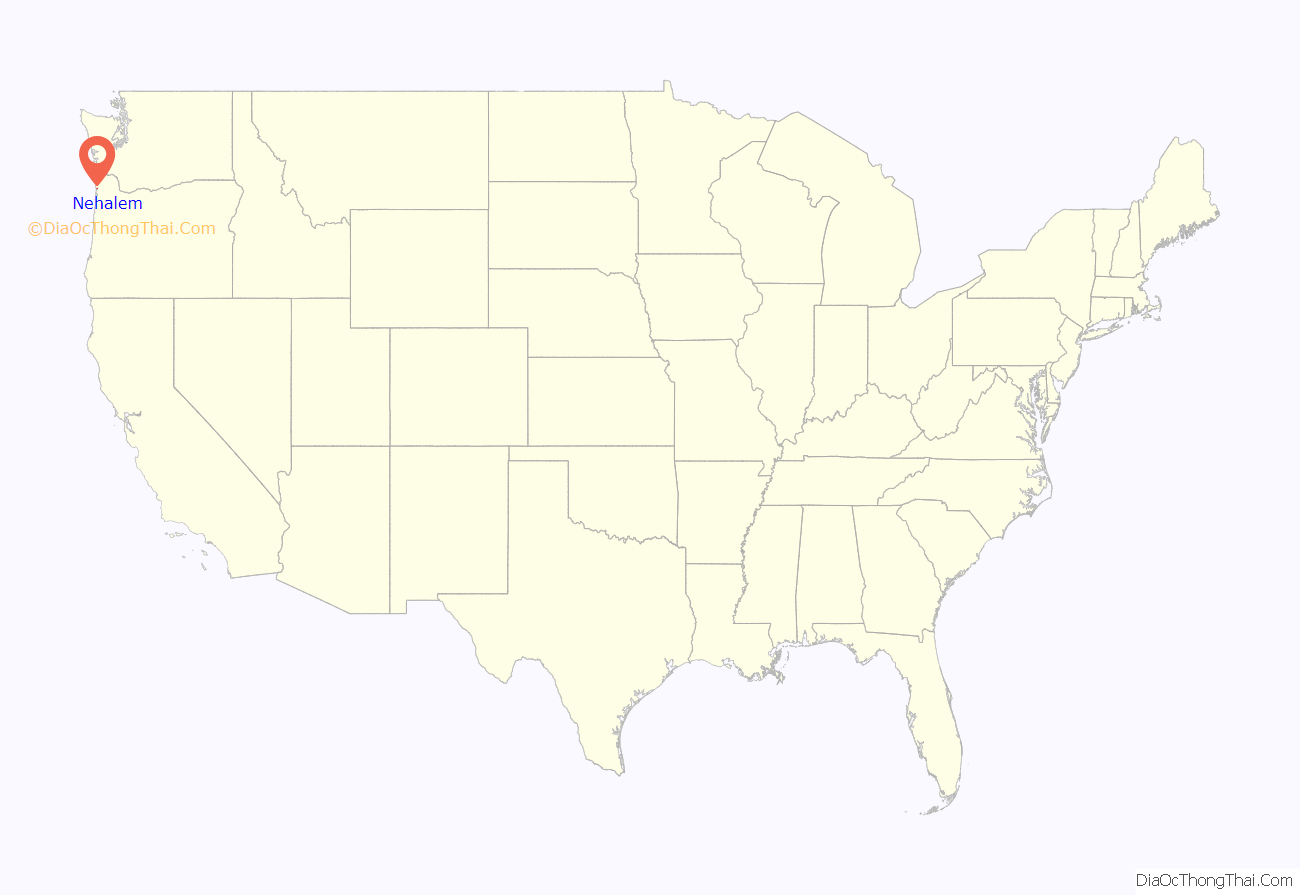
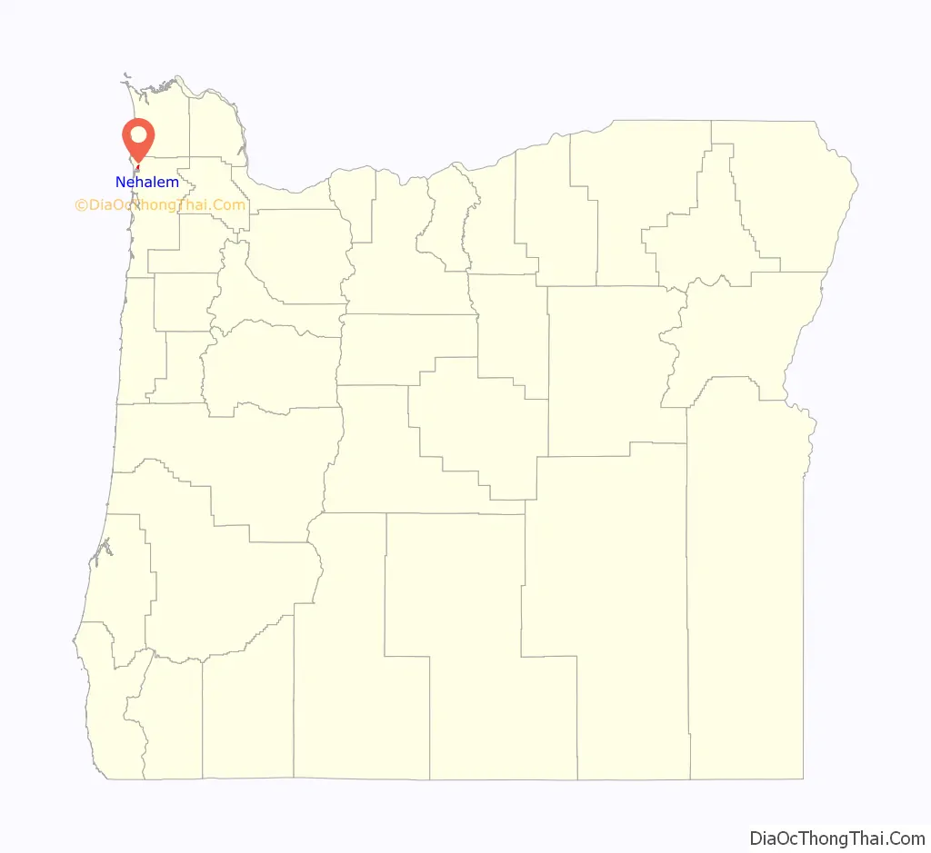
Nehalem location map. Where is Nehalem city?
History
Nehalem was named for the Nehalem tribe of Native American Indians, also known as the Tillamook People, who traditionally inhabited the area. In the native Salishan languages, Nehalem means “place where people live”
The city of Nehalem was established by European Americans in the latter portion of the nineteenth century, rapidly thriving with logging, fishing, and shipping. As the Northwestern logging industry slowed during the twentieth century, the city’s economy also cooled. The city used to stretch over the river on log planks, where a lumber mill cut logs that came down a railroad track on the Nehalem River. Wood pilings that held up this track can be found in the North Fork Nehalem River. On the front of Nehalem Elementary School is a facade which proclaims “Union High School” from when the area was less populated and could support its own Elementary and high schools. Currently there is an elementary school and a community pool/rec. center run by the North County Recreation District which hosts a number of classes including those for Tillamook Bay Community College.
For many decades the State highway officials in Oregon had seen the route that Highway 101 took through Wheeler and Nehalem as temporary for the highway. During that time, the long-term plan for the highway was to move it along the Nehalem Spit, offering a longer view of Nehalem Bay and the Pacific Ocean. When the plans for this change began to take shape in the late 1960s the community backlash from the two towns was so intense that officials decided to leave the highway in its existing layout.
Lying so close to sea level, the area suffers intermittent floods. A 1996 storm caused particular damage, to local dairy farms.
The Portland-based band Everclear has a song, “Nehalem”, about life in the town, on its Sparkle and Fade album.
Nehalem was the location for the 2000 HGTV Dream Home Contest, which awarded a furnished home and an automobile.
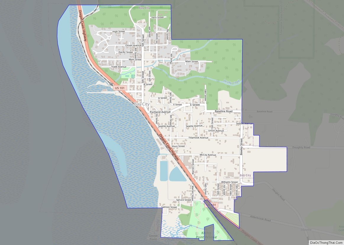
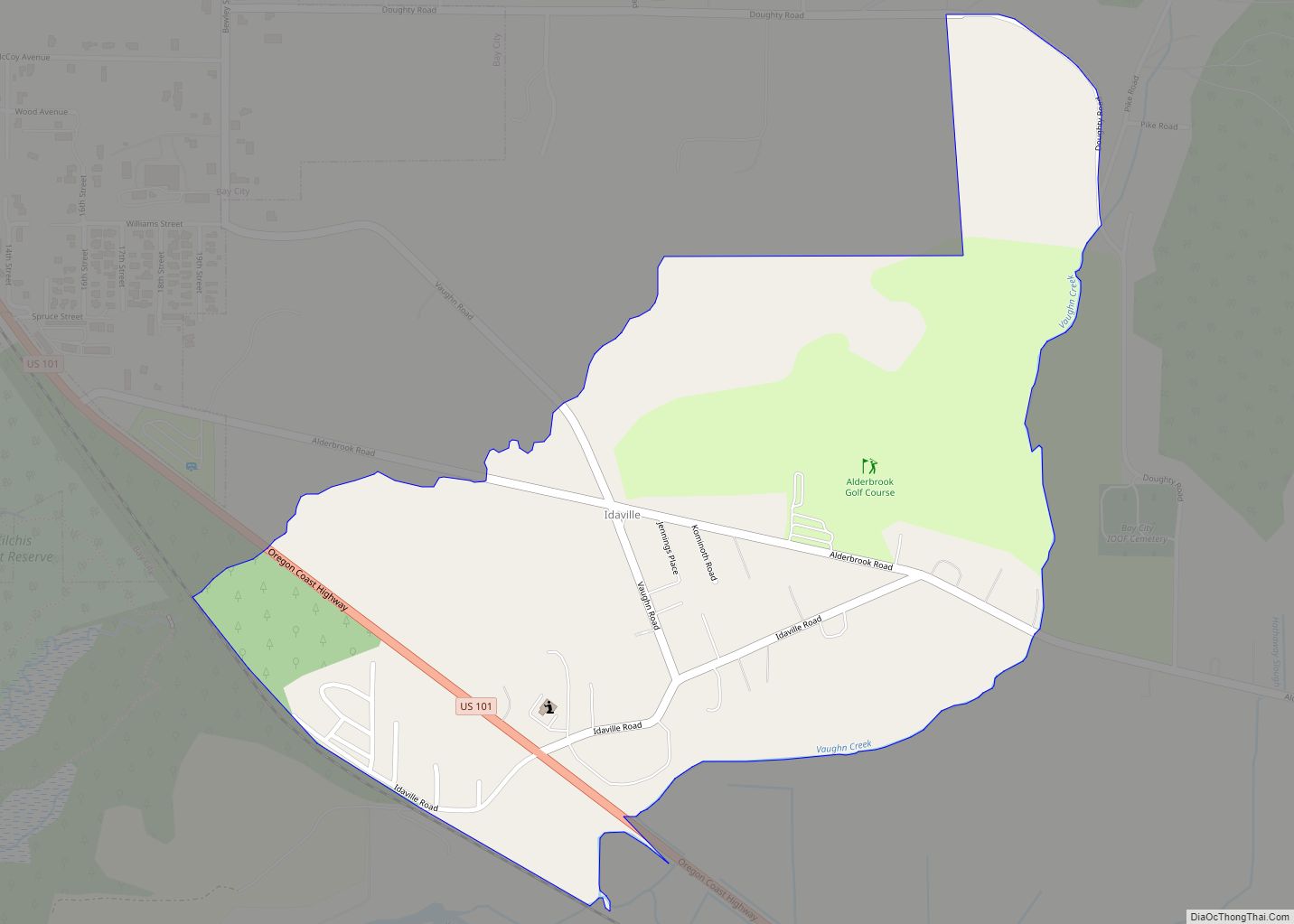
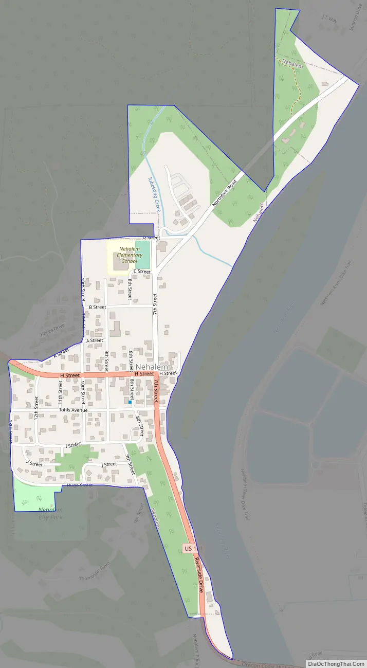
Nehalem Road Map
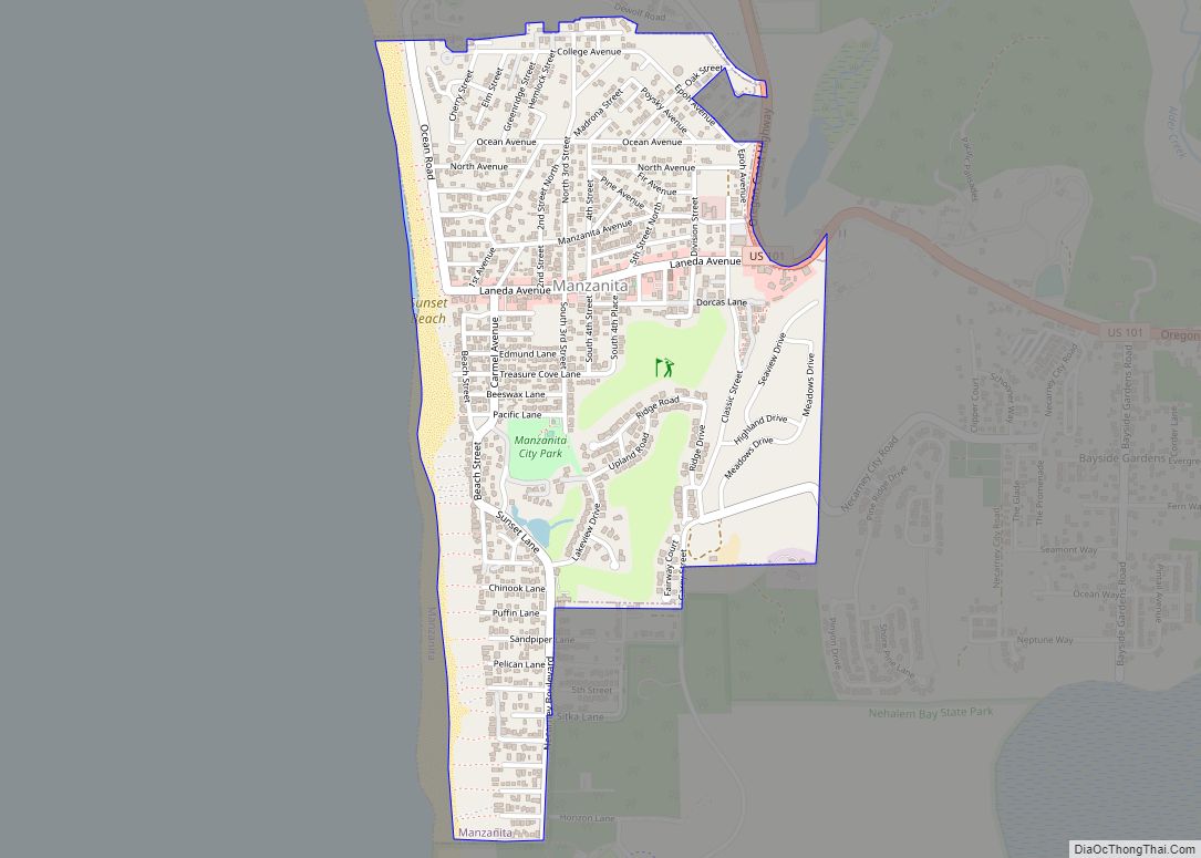
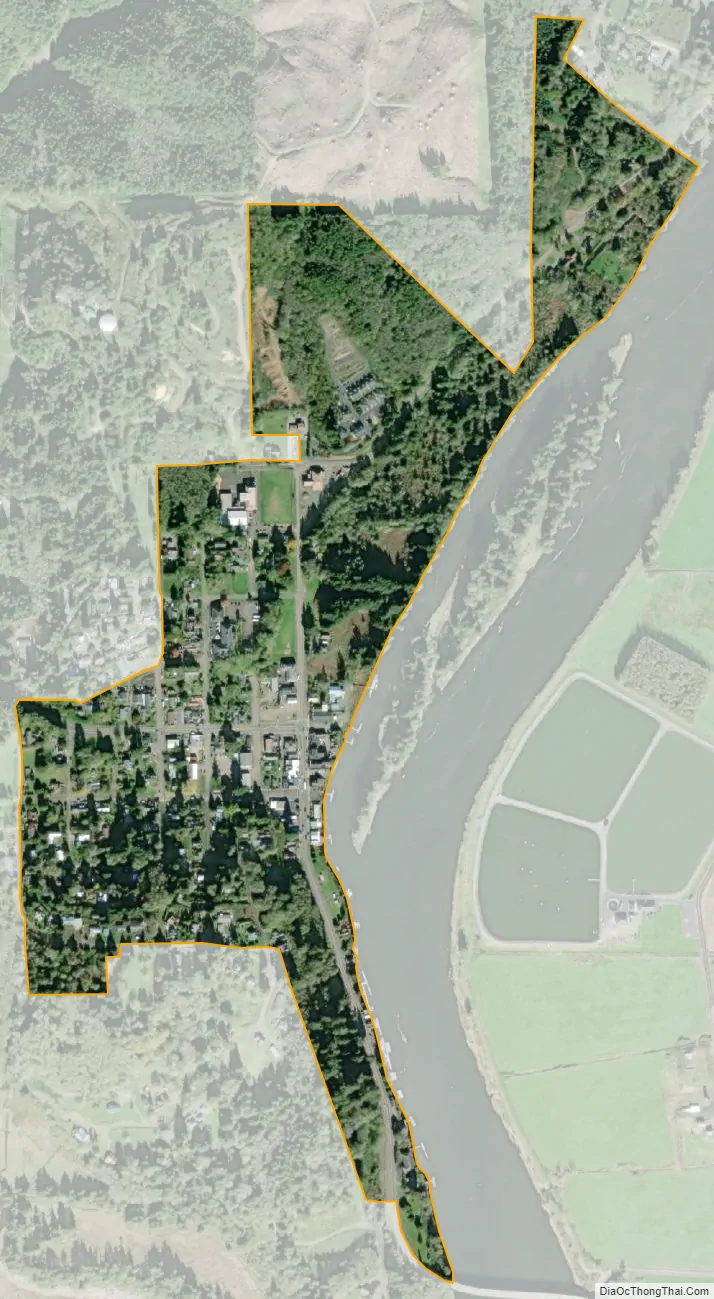
Nehalem city Satellite Map
Geography
According to the United States Census Bureau, the city has a total area of 0.24 square miles (0.62 km), all of it land.
The “business district” runs one block along Highway 101, parallel with the Nehalem River. Many of the buildings are raised to avoid flooding. Nehalem has one traffic signal.
See also
Map of Oregon State and its subdivision: Map of other states:- Alabama
- Alaska
- Arizona
- Arkansas
- California
- Colorado
- Connecticut
- Delaware
- District of Columbia
- Florida
- Georgia
- Hawaii
- Idaho
- Illinois
- Indiana
- Iowa
- Kansas
- Kentucky
- Louisiana
- Maine
- Maryland
- Massachusetts
- Michigan
- Minnesota
- Mississippi
- Missouri
- Montana
- Nebraska
- Nevada
- New Hampshire
- New Jersey
- New Mexico
- New York
- North Carolina
- North Dakota
- Ohio
- Oklahoma
- Oregon
- Pennsylvania
- Rhode Island
- South Carolina
- South Dakota
- Tennessee
- Texas
- Utah
- Vermont
- Virginia
- Washington
- West Virginia
- Wisconsin
- Wyoming