New Hope is an unincorporated community and census-designated place (CDP) in Josephine County, Oregon, United States. As of the 2010 census it had a population of 1,515.
| Name: | New Hope CDP |
|---|---|
| LSAD Code: | 57 |
| LSAD Description: | CDP (suffix) |
| State: | Oregon |
| County: | Josephine County |
| Elevation: | 1,040 ft (320 m) |
| Total Area: | 3.83 sq mi (9.91 km²) |
| Land Area: | 3.83 sq mi (9.91 km²) |
| Water Area: | 0.00 sq mi (0.00 km²) |
| Total Population: | 1,572 |
| Population Density: | 410.66/sq mi (158.55/km²) |
| ZIP code: | 97527 |
| Area code: | 458 and 541 |
| FIPS code: | 4152275 |
| GNISfeature ID: | 1146811 |
Online Interactive Map
Click on ![]() to view map in "full screen" mode.
to view map in "full screen" mode.
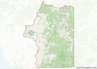
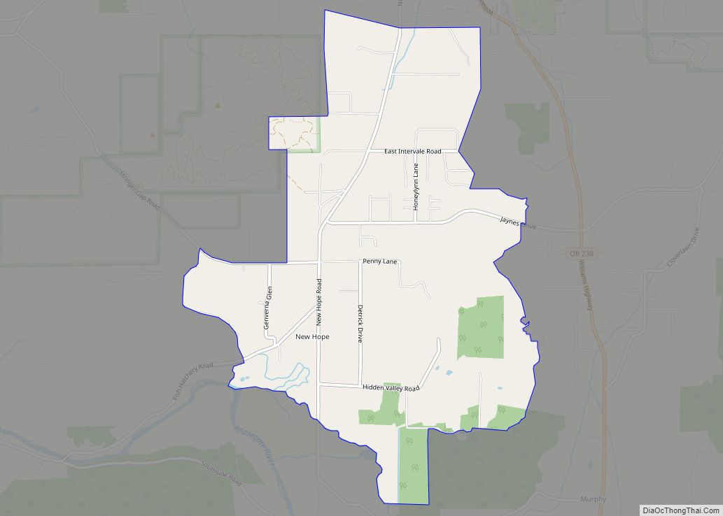
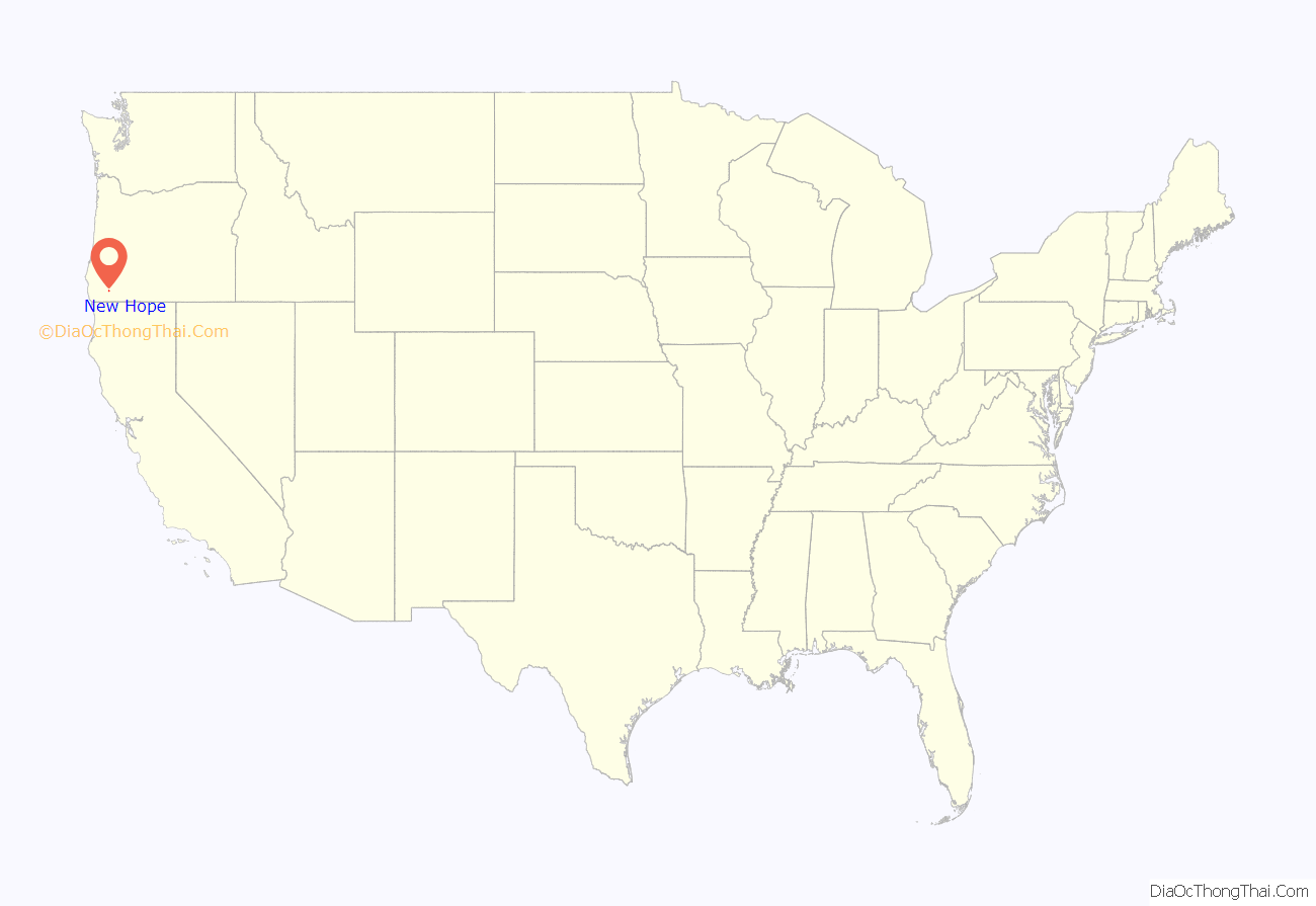
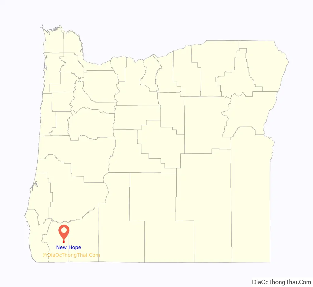
New Hope location map. Where is New Hope CDP?
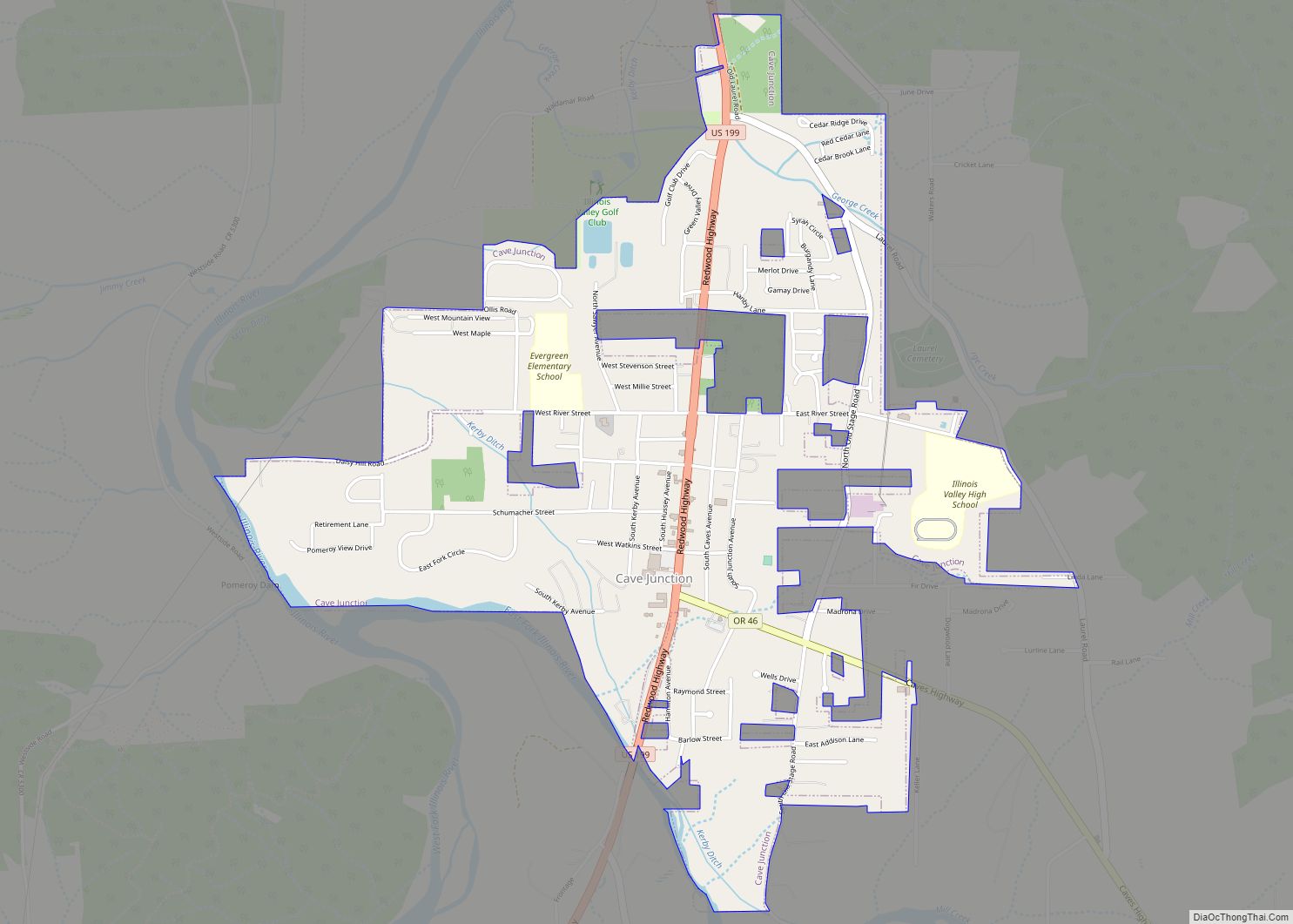
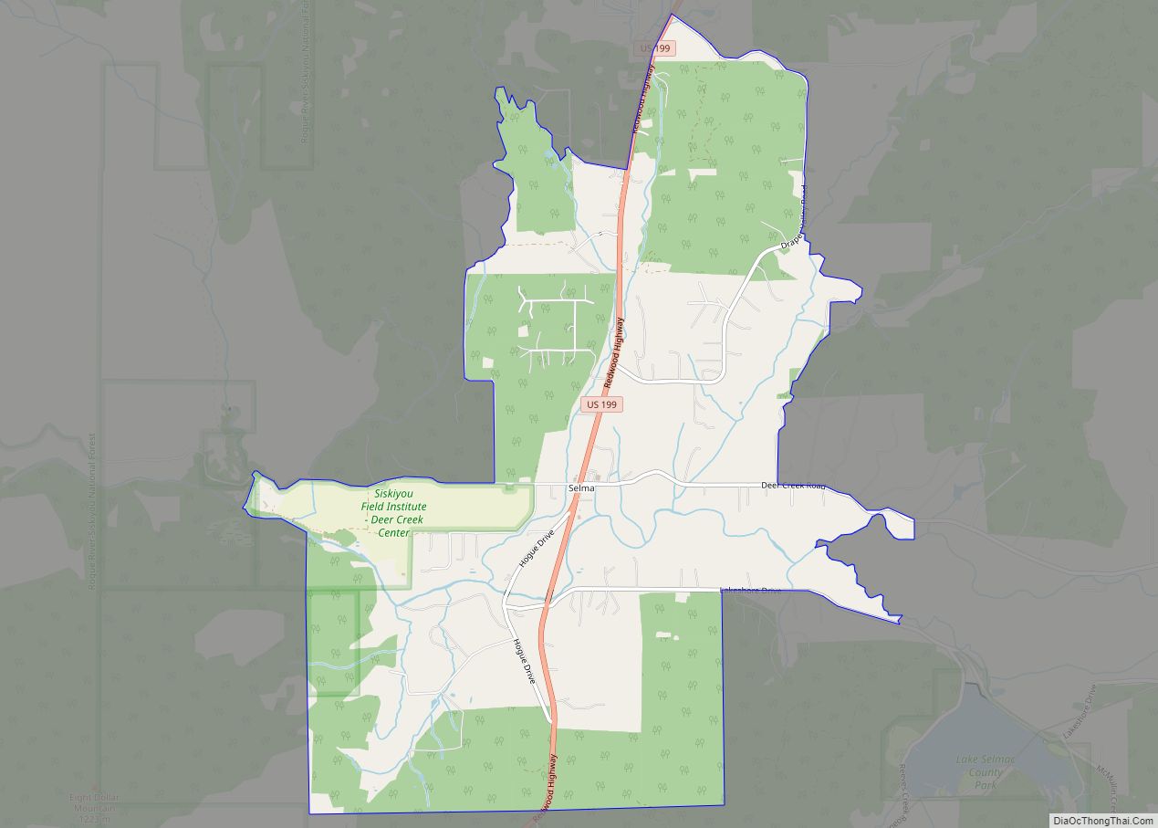
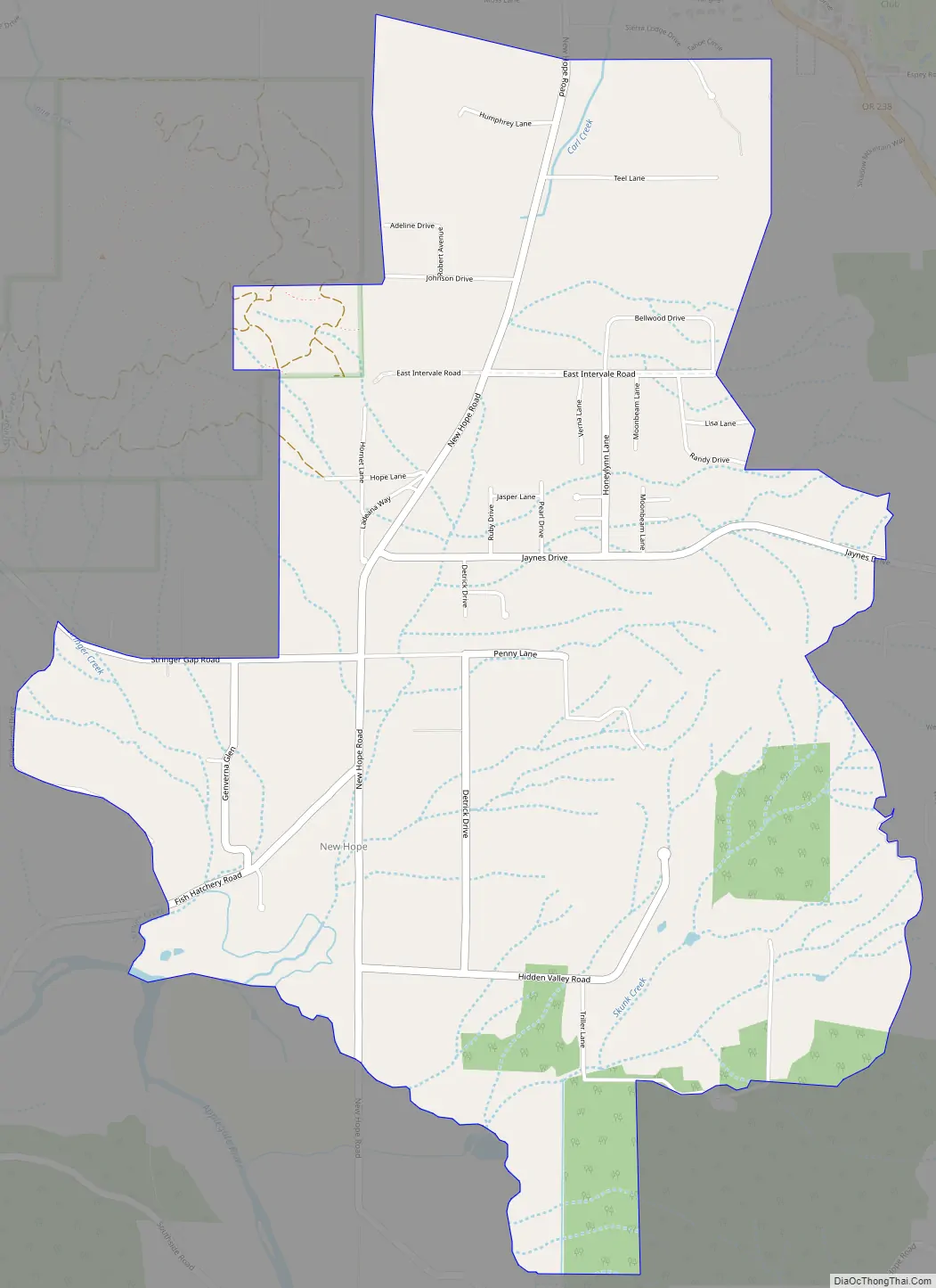
New Hope Road Map
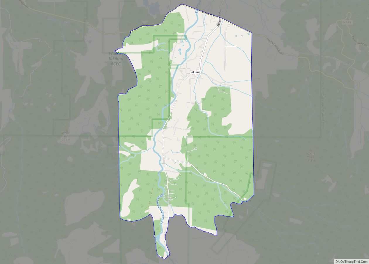
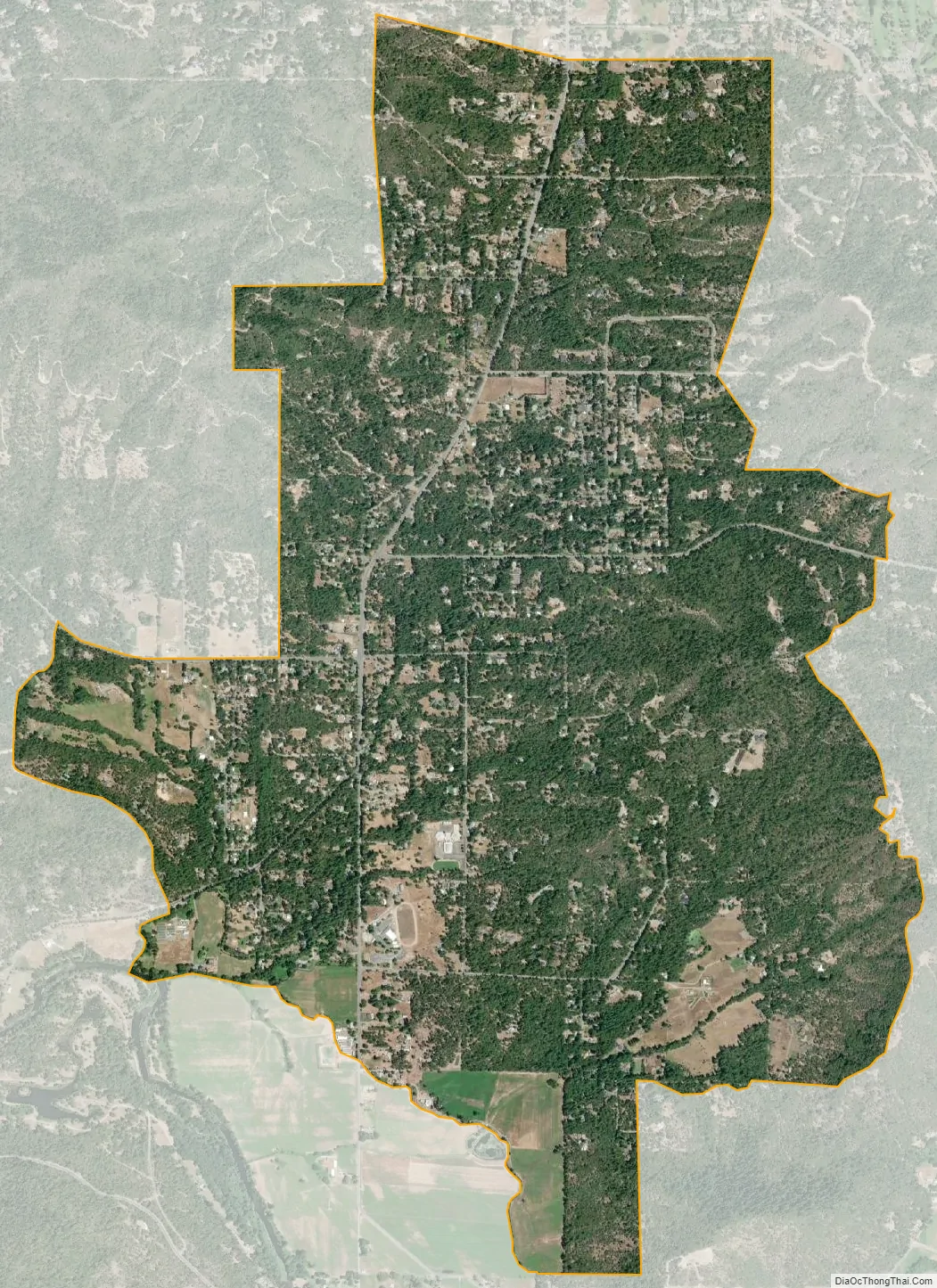
New Hope city Satellite Map
Geography
New Hope is in eastern Josephine County, 6 miles (10 km) south of Grants Pass, the county seat. The community lies just north of the Applegate River, a northwest-flowing tributary of the Rogue River.
According to the U.S. Census Bureau, the New Hope CDP has an area of 3.8 square miles (9.9 km), all of it recorded as land.
See also
Map of Oregon State and its subdivision: Map of other states:- Alabama
- Alaska
- Arizona
- Arkansas
- California
- Colorado
- Connecticut
- Delaware
- District of Columbia
- Florida
- Georgia
- Hawaii
- Idaho
- Illinois
- Indiana
- Iowa
- Kansas
- Kentucky
- Louisiana
- Maine
- Maryland
- Massachusetts
- Michigan
- Minnesota
- Mississippi
- Missouri
- Montana
- Nebraska
- Nevada
- New Hampshire
- New Jersey
- New Mexico
- New York
- North Carolina
- North Dakota
- Ohio
- Oklahoma
- Oregon
- Pennsylvania
- Rhode Island
- South Carolina
- South Dakota
- Tennessee
- Texas
- Utah
- Vermont
- Virginia
- Washington
- West Virginia
- Wisconsin
- Wyoming