Odell is an unincorporated community and census-designated place (CDP) in Hood River County, Oregon, United States. Odell was named for an early pioneer, William Odell, a native of Tennessee by way of California, who settled in the area in 1861. The population was 2,255 as of the 2010 census.
| Name: | Odell CDP |
|---|---|
| LSAD Code: | 57 |
| LSAD Description: | CDP (suffix) |
| State: | Oregon |
| County: | Hood River County |
| Elevation: | 722 ft (220 m) |
| Total Area: | 2.02 sq mi (5.23 km²) |
| Land Area: | 2.02 sq mi (5.23 km²) |
| Water Area: | 0.00 sq mi (0.00 km²) |
| Total Population: | 2,328 |
| Population Density: | 1,153.05/sq mi (445.27/km²) |
| ZIP code: | 97044 |
| Area code: | 541 |
| FIPS code: | 4154550 |
| GNISfeature ID: | 1147153 |
Online Interactive Map
Click on ![]() to view map in "full screen" mode.
to view map in "full screen" mode.
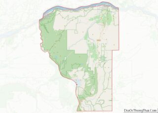
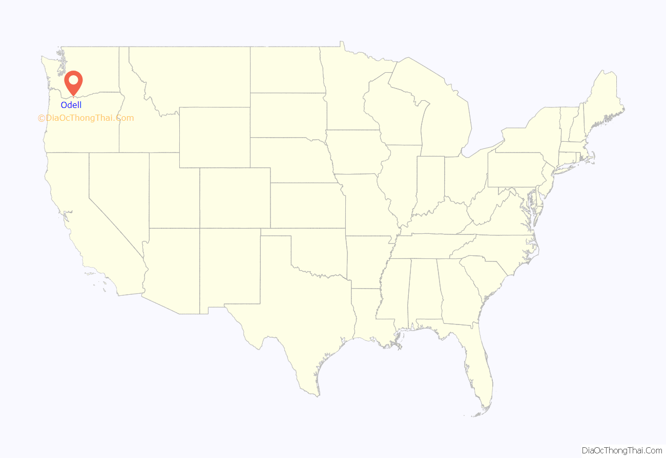
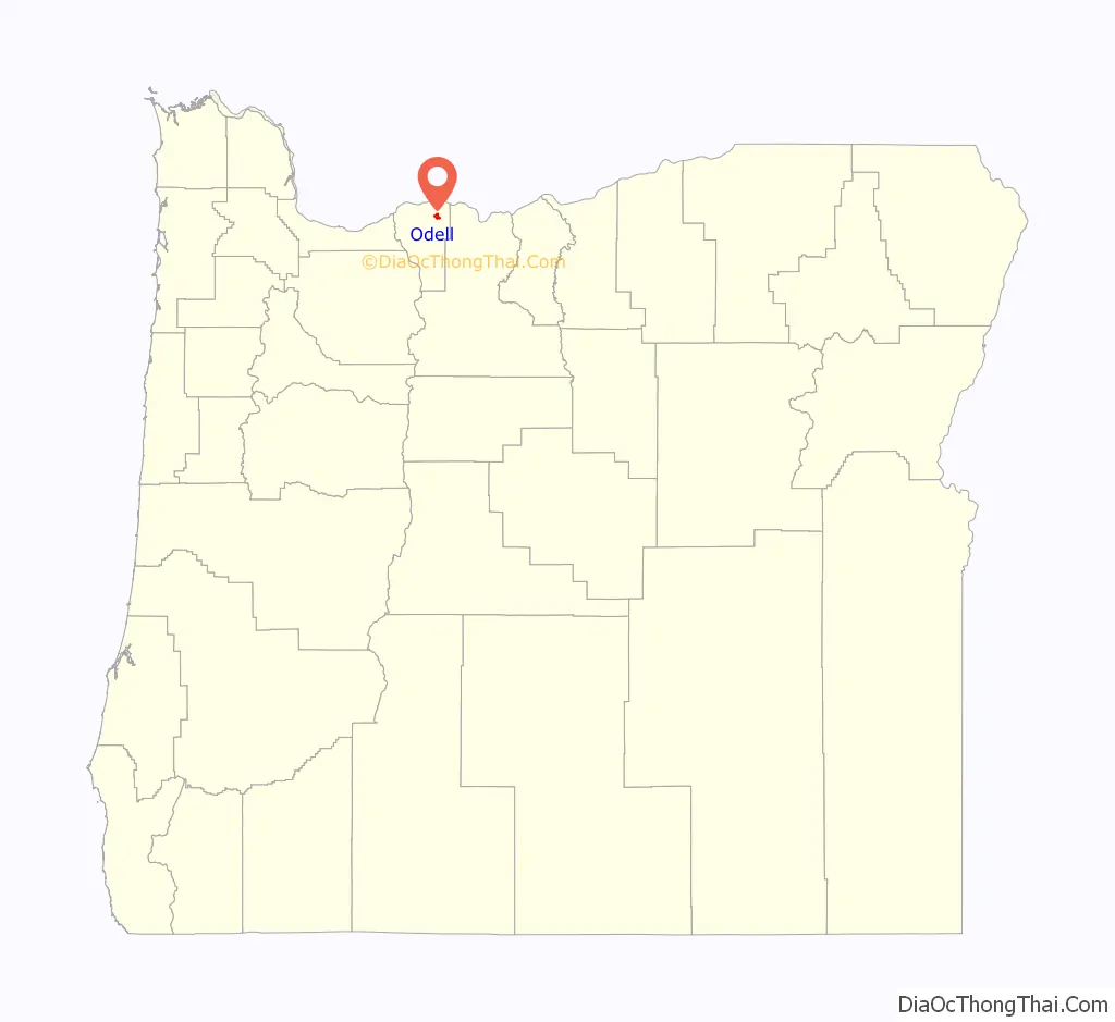
Odell location map. Where is Odell CDP?
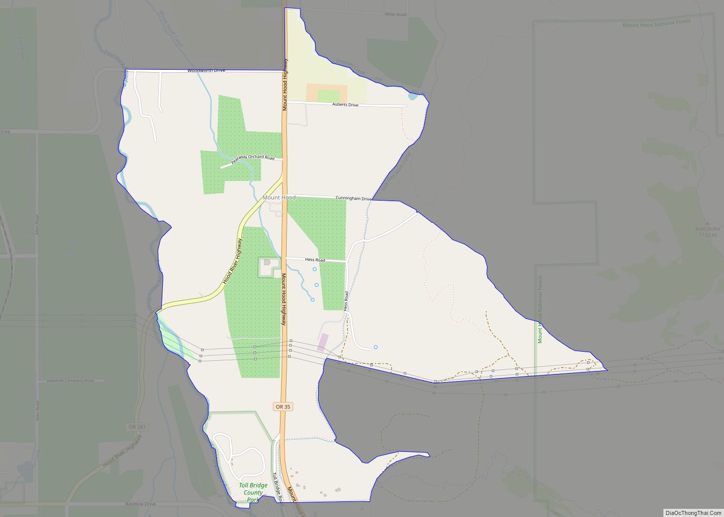
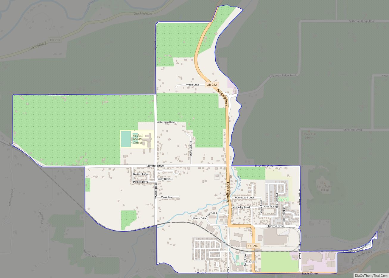
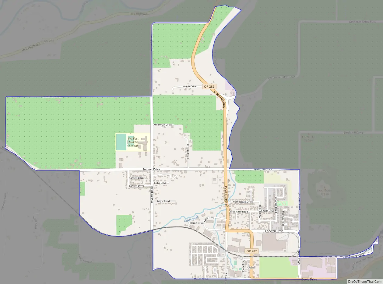
Odell Road Map
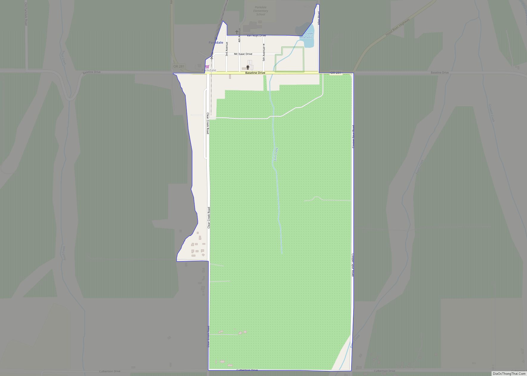
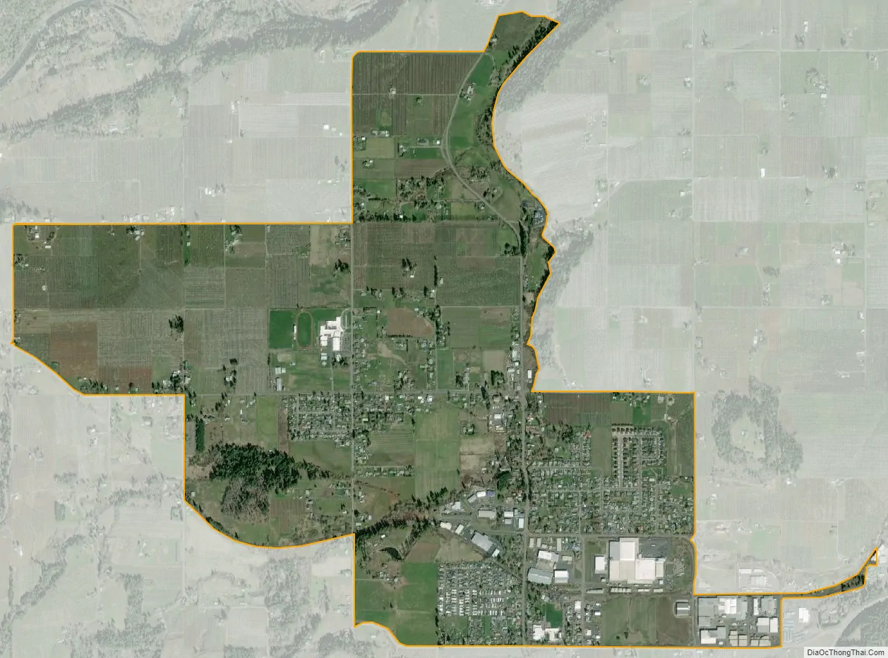
Odell city Satellite Map
Geography
Odell is in northeastern Hood River County, in the valley of Odell Creek, a tributary of the Hood River. It is 7 miles (11 km) south of the city of Hood River, the county seat. According to the United States Census Bureau, the CDP has a total area of 2.0 square miles (5.2 km), all land.
Climate
This region experiences warm (but not hot) and dry summers, with no average monthly temperatures above 71.6 °F. According to the Köppen Climate Classification system, Odell has a warm-summer Mediterranean climate, abbreviated “Csb” on climate maps.
See also
Map of Oregon State and its subdivision: Map of other states:- Alabama
- Alaska
- Arizona
- Arkansas
- California
- Colorado
- Connecticut
- Delaware
- District of Columbia
- Florida
- Georgia
- Hawaii
- Idaho
- Illinois
- Indiana
- Iowa
- Kansas
- Kentucky
- Louisiana
- Maine
- Maryland
- Massachusetts
- Michigan
- Minnesota
- Mississippi
- Missouri
- Montana
- Nebraska
- Nevada
- New Hampshire
- New Jersey
- New Mexico
- New York
- North Carolina
- North Dakota
- Ohio
- Oklahoma
- Oregon
- Pennsylvania
- Rhode Island
- South Carolina
- South Dakota
- Tennessee
- Texas
- Utah
- Vermont
- Virginia
- Washington
- West Virginia
- Wisconsin
- Wyoming