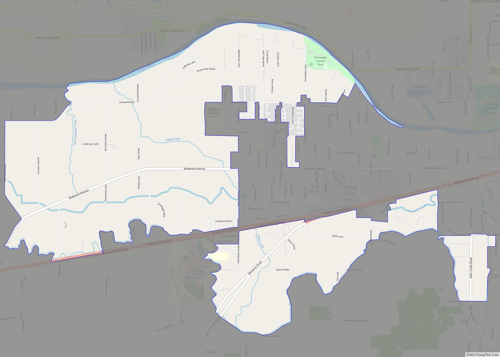
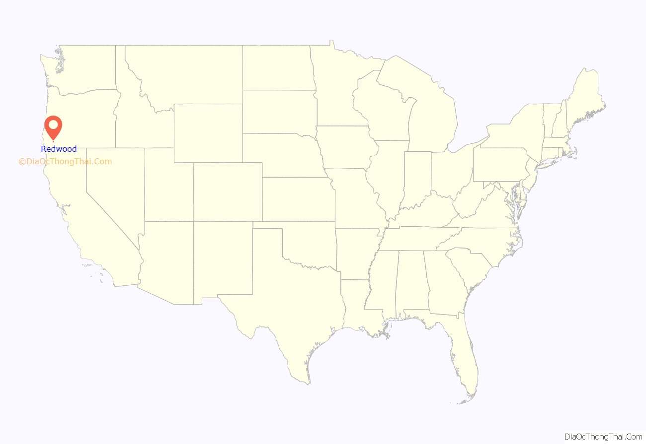
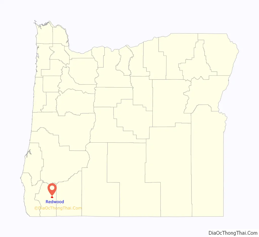
Redwood is a census-designated place (CDP) in Josephine County, Oregon, United States. The population was 2,627 at the 2010 census, down from 5,844 at the 2000 census as it has lost territory to the neighboring city of Grants Pass.
| Name: | Redwood CDP |
|---|---|
| LSAD Code: | 57 |
| LSAD Description: | CDP (suffix) |
| State: | Oregon |
| County: | Josephine County |
| Elevation: | 935 ft (285 m) |
| Total Area: | 3.51 sq mi (9.09 km²) |
| Land Area: | 3.46 sq mi (8.95 km²) |
| Water Area: | 0.06 sq mi (0.14 km²) |
| Total Population: | 2,702 |
| Population Density: | 781.83/sq mi (301.90/km²) |
| FIPS code: | 4161250 |
| GNISfeature ID: | 1867477 |
Online Interactive Map
Click on ![]() to view map in "full screen" mode.
to view map in "full screen" mode.
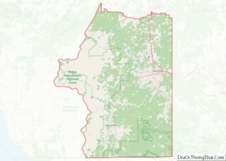
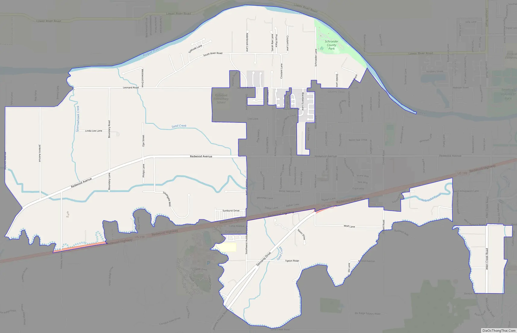
Redwood location map. Where is Redwood CDP?
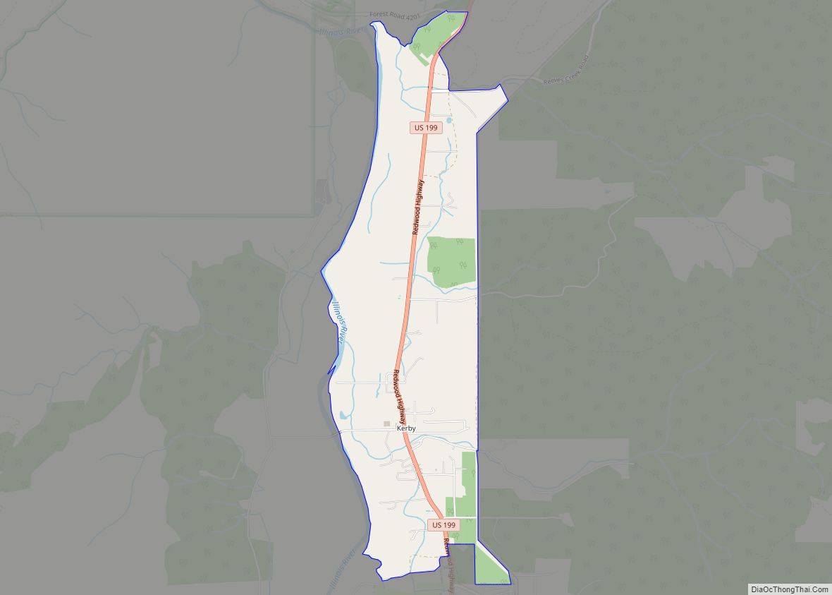
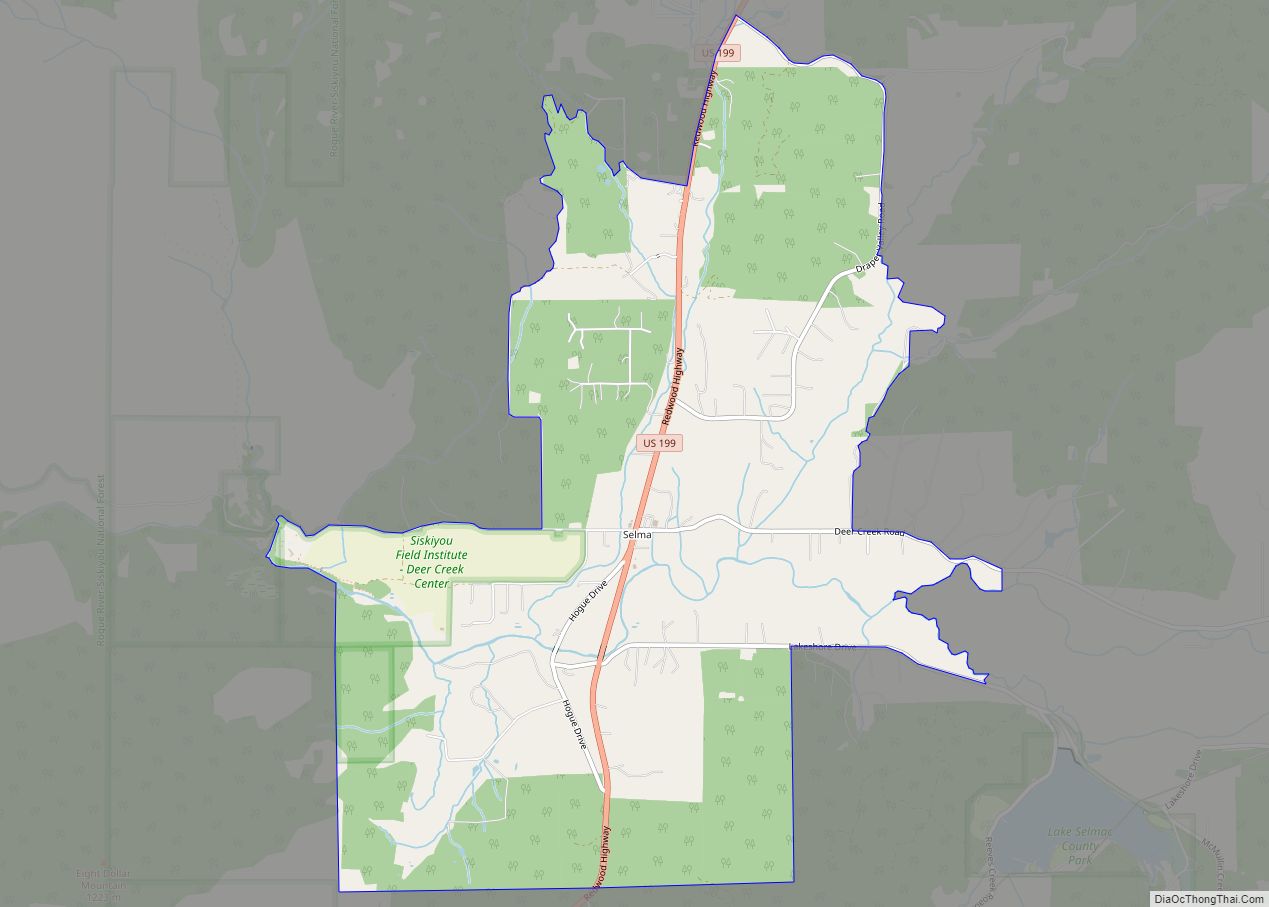
Redwood Road Map
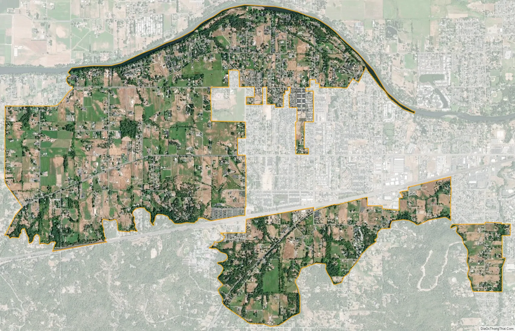
Redwood city Satellite Map
Geography
Redwood is in eastern Josephine County, in the valley of the Rogue River. It is bordered to the east by the city of Grants Pass, the county seat. According to the United States Census Bureau, the CDP has a total area of 3.5 square miles (9.1 km), down from 4.9 square miles (12.7 km) in 2000. As of 2010, 0.05 square miles (0.14 km) within Redwood, or 1.54%, are water. The community is 935 feet (285 m) above sea level.
U.S. Route 199 runs through the southern side of Redwood, leading east into Grants Pass and southwest 25 miles (40 km) to Cave Junction.
See also
Map of Oregon State and its subdivision: Map of other states:- Alabama
- Alaska
- Arizona
- Arkansas
- California
- Colorado
- Connecticut
- Delaware
- District of Columbia
- Florida
- Georgia
- Hawaii
- Idaho
- Illinois
- Indiana
- Iowa
- Kansas
- Kentucky
- Louisiana
- Maine
- Maryland
- Massachusetts
- Michigan
- Minnesota
- Mississippi
- Missouri
- Montana
- Nebraska
- Nevada
- New Hampshire
- New Jersey
- New Mexico
- New York
- North Carolina
- North Dakota
- Ohio
- Oklahoma
- Oregon
- Pennsylvania
- Rhode Island
- South Carolina
- South Dakota
- Tennessee
- Texas
- Utah
- Vermont
- Virginia
- Washington
- West Virginia
- Wisconsin
- Wyoming