Richland is a city in Baker County, Oregon, United States. The population was 156 at the 2010 census.
| Name: | Richland city |
|---|---|
| LSAD Code: | 25 |
| LSAD Description: | city (suffix) |
| State: | Oregon |
| County: | Baker County |
| Incorporated: | 1917 |
| Elevation: | 2,231 ft (680 m) |
| Total Area: | 0.10 sq mi (0.27 km²) |
| Land Area: | 0.10 sq mi (0.27 km²) |
| Water Area: | 0.00 sq mi (0.00 km²) |
| Total Population: | 165 |
| Population Density: | 1,571.43/sq mi (603.89/km²) |
| ZIP code: | 97870 |
| Area code: | 541 |
| FIPS code: | 4161700 |
| GNISfeature ID: | 1148423 |
Online Interactive Map
Click on ![]() to view map in "full screen" mode.
to view map in "full screen" mode.
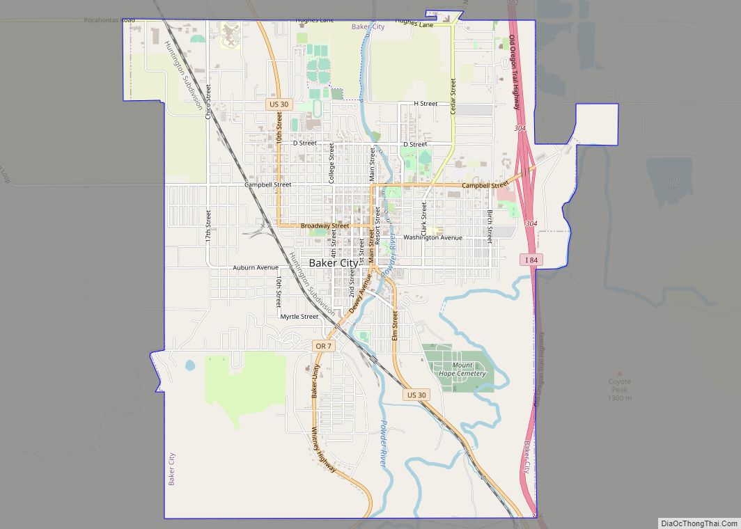
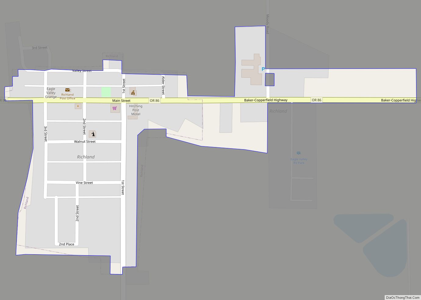
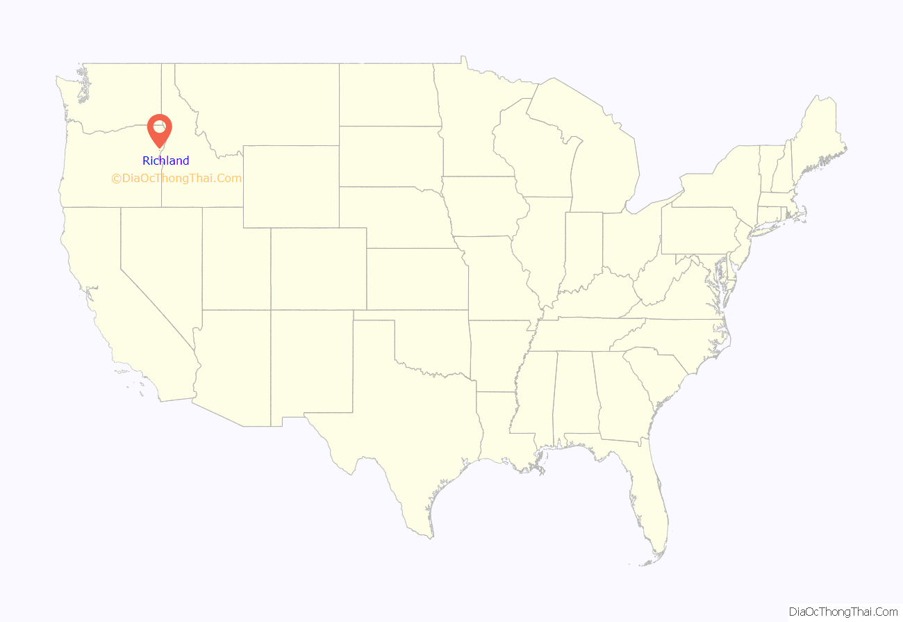
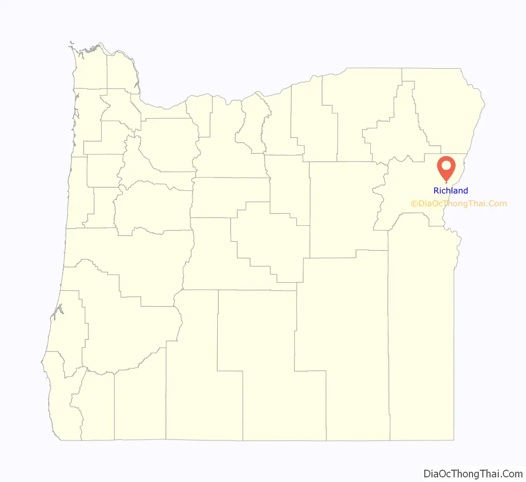
Richland location map. Where is Richland city?
History
Richland was platted in 1897 and replaced New Bridge as the primary rural service center in the area.
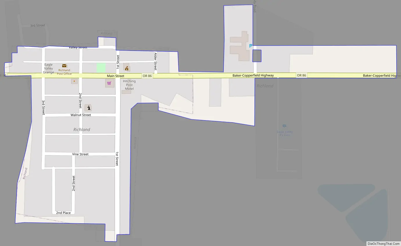
Richland Road Map
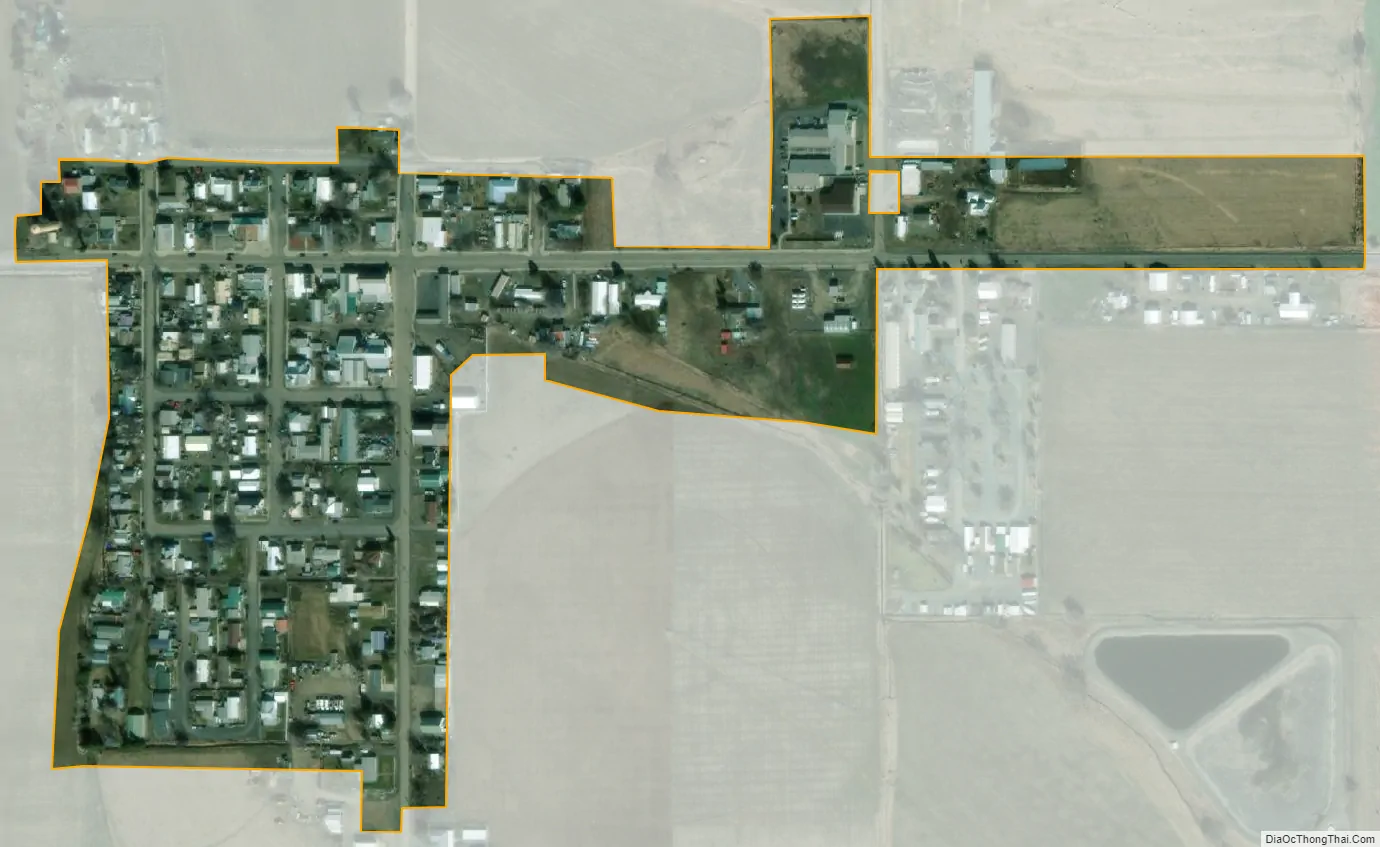
Richland city Satellite Map
Geography
Richland is along Oregon Route 86 between Baker City and Oxbow on the Oregon–Idaho border.
According to the United States Census Bureau, the city has a total area of 0.08 square miles (0.21 km), all of it land.
Climate
According to the Köppen Climate Classification system, Richland has a dry, hot summer humid continental climate, abbreviated “Dsa” on climate maps.
See also
Map of Oregon State and its subdivision: Map of other states:- Alabama
- Alaska
- Arizona
- Arkansas
- California
- Colorado
- Connecticut
- Delaware
- District of Columbia
- Florida
- Georgia
- Hawaii
- Idaho
- Illinois
- Indiana
- Iowa
- Kansas
- Kentucky
- Louisiana
- Maine
- Maryland
- Massachusetts
- Michigan
- Minnesota
- Mississippi
- Missouri
- Montana
- Nebraska
- Nevada
- New Hampshire
- New Jersey
- New Mexico
- New York
- North Carolina
- North Dakota
- Ohio
- Oklahoma
- Oregon
- Pennsylvania
- Rhode Island
- South Carolina
- South Dakota
- Tennessee
- Texas
- Utah
- Vermont
- Virginia
- Washington
- West Virginia
- Wisconsin
- Wyoming