Selma is an unincorporated community and census-designated place (CDP) in Josephine County, Oregon, United States. As of the 2010 census it had a population of 695. It is located in the ZIP code of 97538.
| Name: | Selma CDP |
|---|---|
| LSAD Code: | 57 |
| LSAD Description: | CDP (suffix) |
| State: | Oregon |
| County: | Josephine County |
| Elevation: | 1,325 ft (404 m) |
| Total Area: | 6.46 sq mi (16.72 km²) |
| Land Area: | 6.46 sq mi (16.72 km²) |
| Water Area: | 0.00 sq mi (0.00 km²) |
| Total Population: | 661 |
| Population Density: | 102.37/sq mi (39.52/km²) |
| ZIP code: | 97538 |
| Area code: | 541 and 458 |
| FIPS code: | 4166150 |
| GNISfeature ID: | 1149227 |
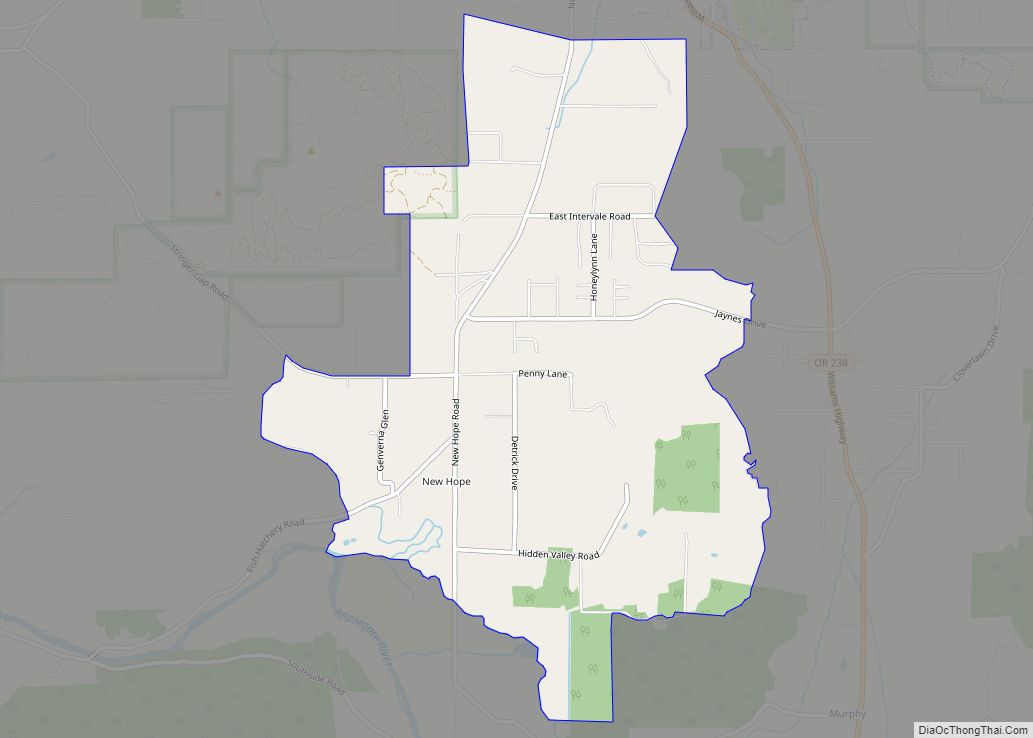
Online Interactive Map
Click on ![]() to view map in "full screen" mode.
to view map in "full screen" mode.
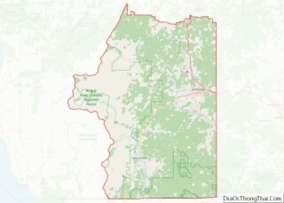
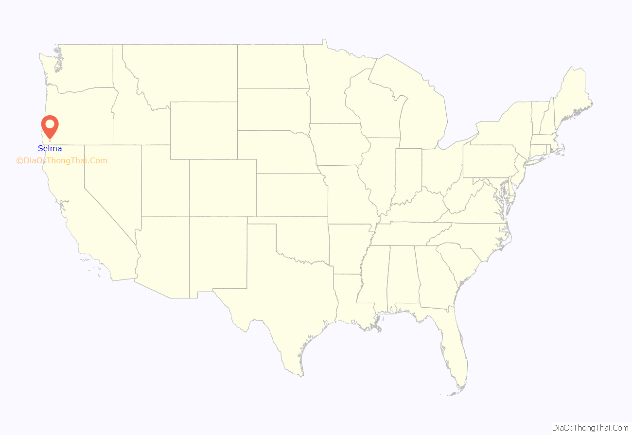
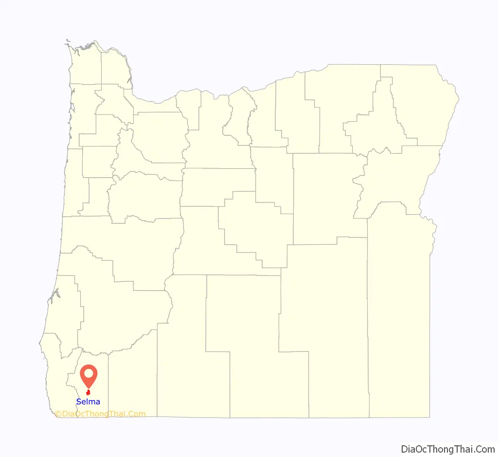
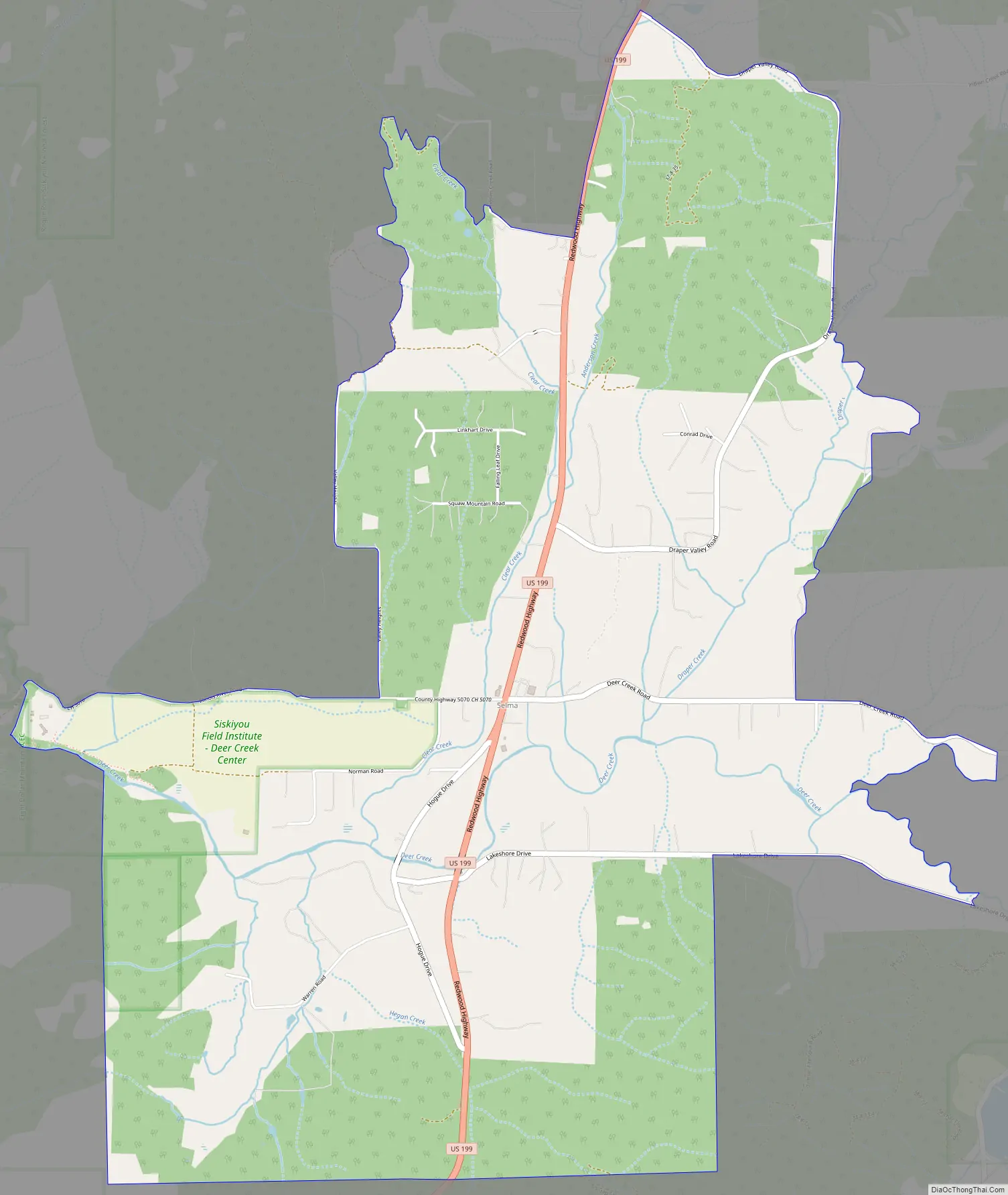
Selma location map. Where is Selma CDP?
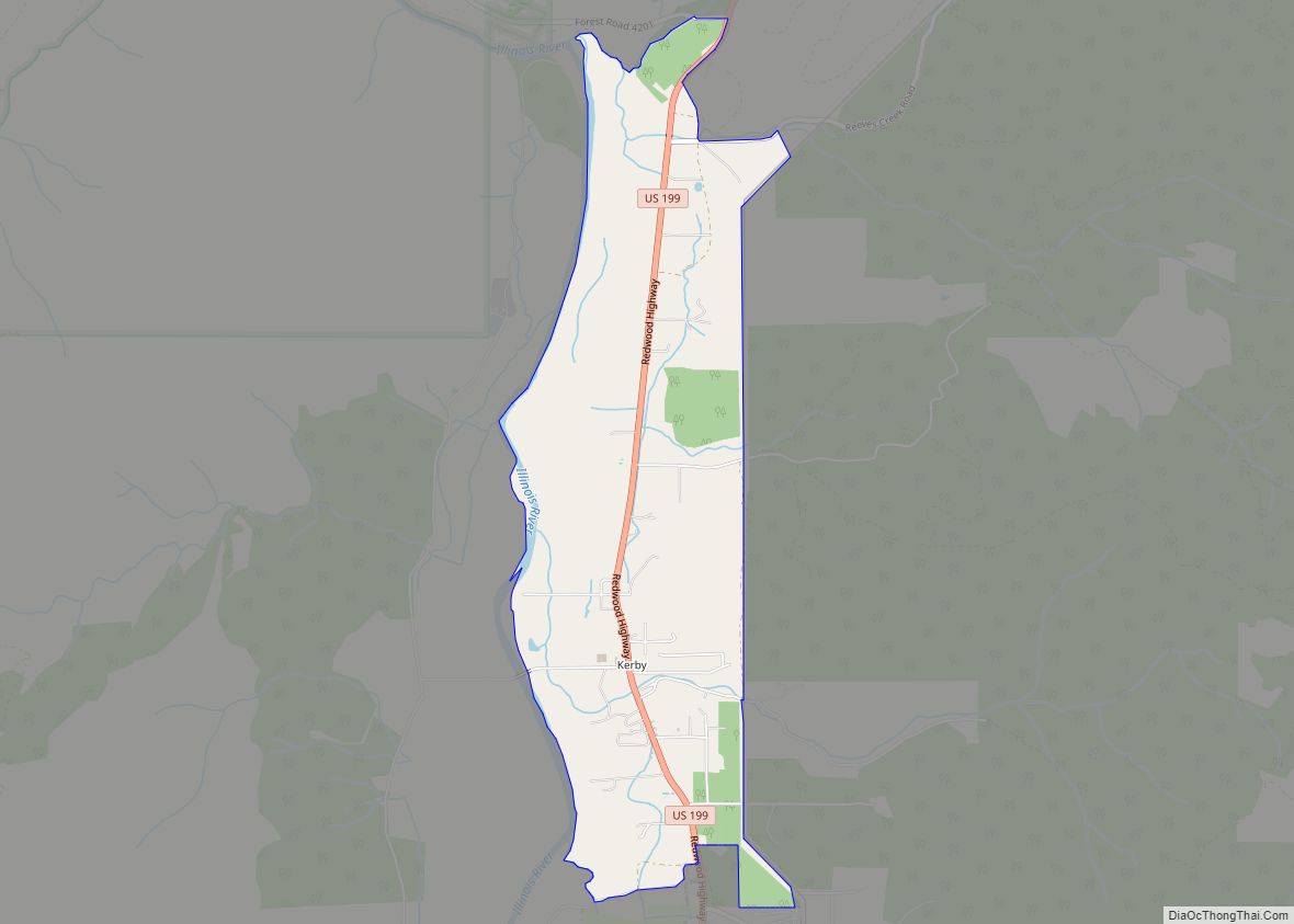
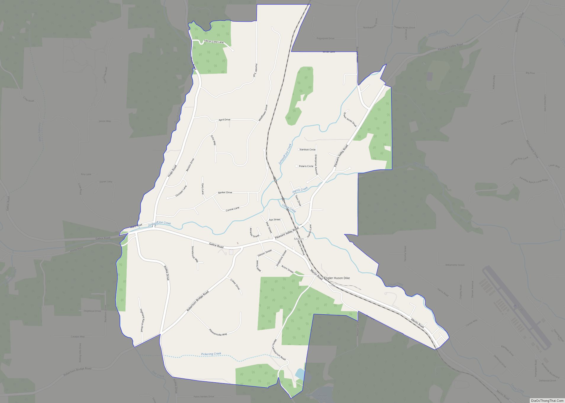
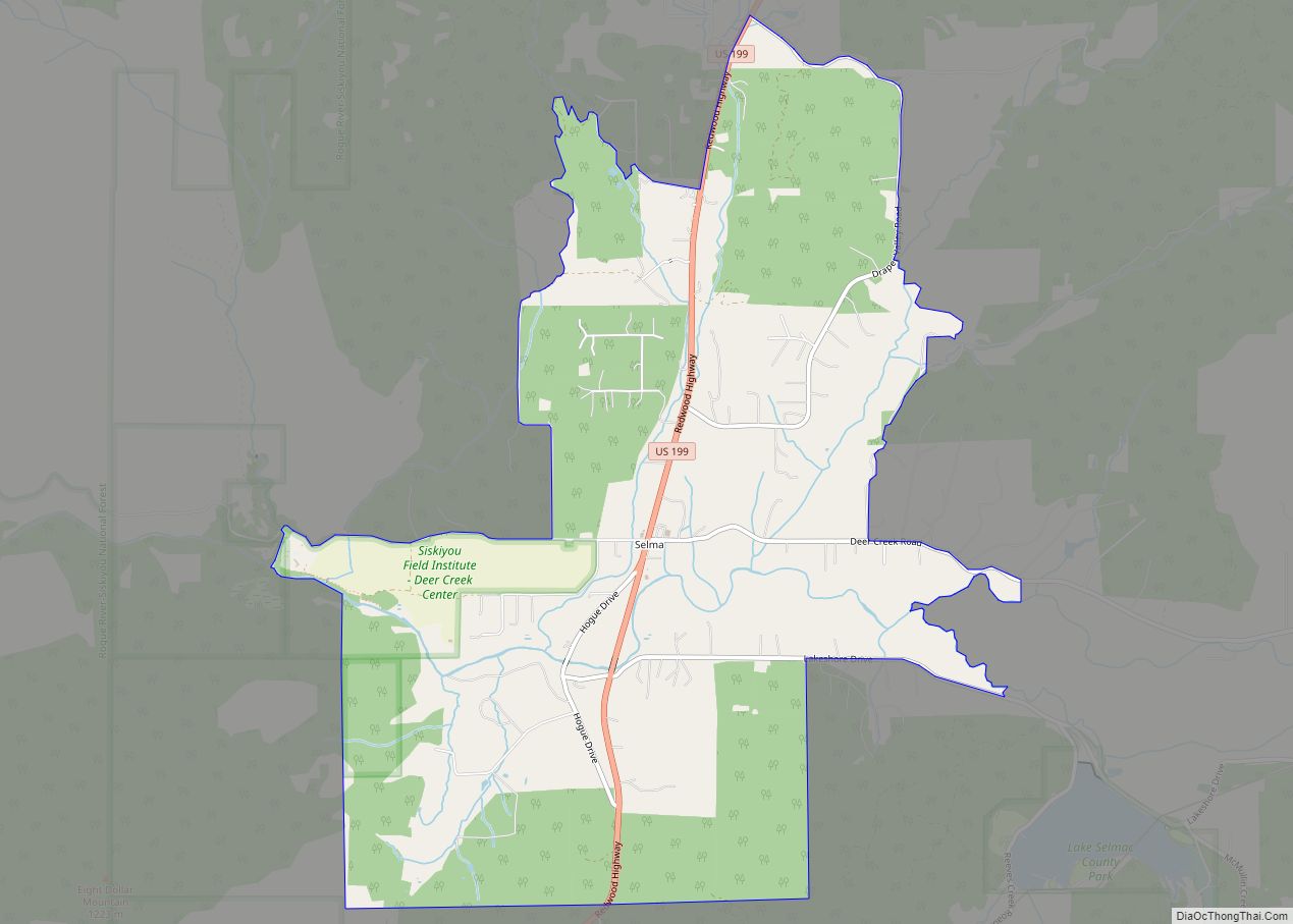
Selma Road Map
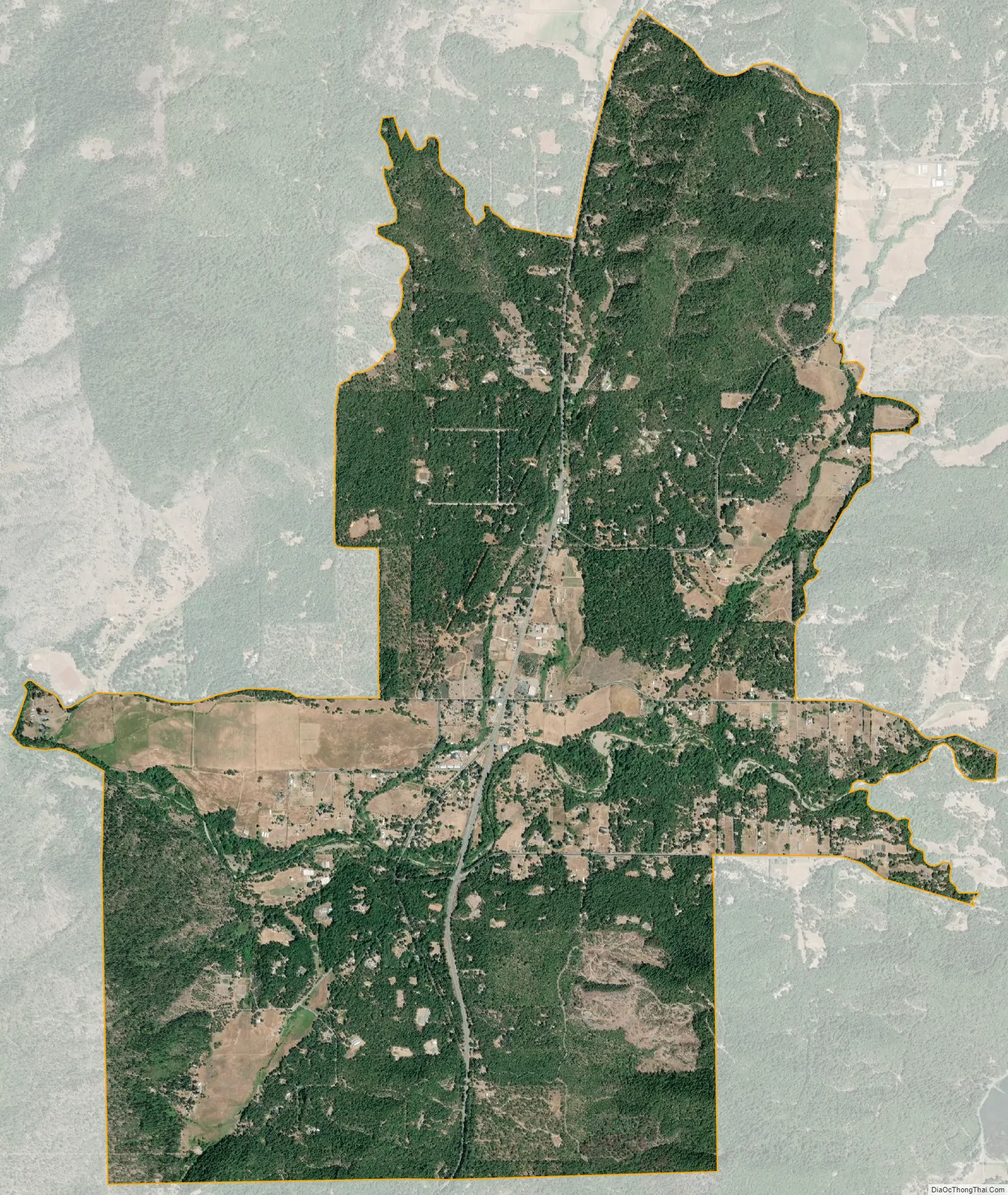
Selma city Satellite Map
Geography
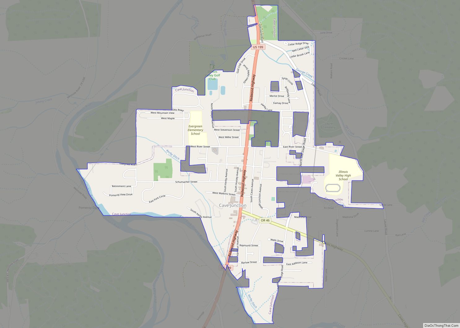
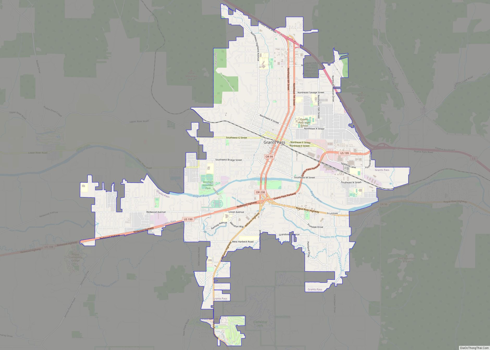
Selma is just southwest of the center of Josephine County, in the valley of Deer Creek, a west-flowing tributary of the Illinois River and part of the Rogue River watershed. U.S. Route 199 passes through the center of town, leading south 8 miles (13 km) to Cave Junction and northeast 20 miles (32 km) to Grants Pass, the county seat.
According to the U.S. Census Bureau, the Selma CDP has an area of 6.4 square miles (16.7 km), all of it recorded as land.
See also
Map of Oregon State and its subdivision: Map of other states:- Alabama
- Alaska
- Arizona
- Arkansas
- California
- Colorado
- Connecticut
- Delaware
- District of Columbia
- Florida
- Georgia
- Hawaii
- Idaho
- Illinois
- Indiana
- Iowa
- Kansas
- Kentucky
- Louisiana
- Maine
- Maryland
- Massachusetts
- Michigan
- Minnesota
- Mississippi
- Missouri
- Montana
- Nebraska
- Nevada
- New Hampshire
- New Jersey
- New Mexico
- New York
- North Carolina
- North Dakota
- Ohio
- Oklahoma
- Oregon
- Pennsylvania
- Rhode Island
- South Carolina
- South Dakota
- Tennessee
- Texas
- Utah
- Vermont
- Virginia
- Washington
- West Virginia
- Wisconsin
- Wyoming