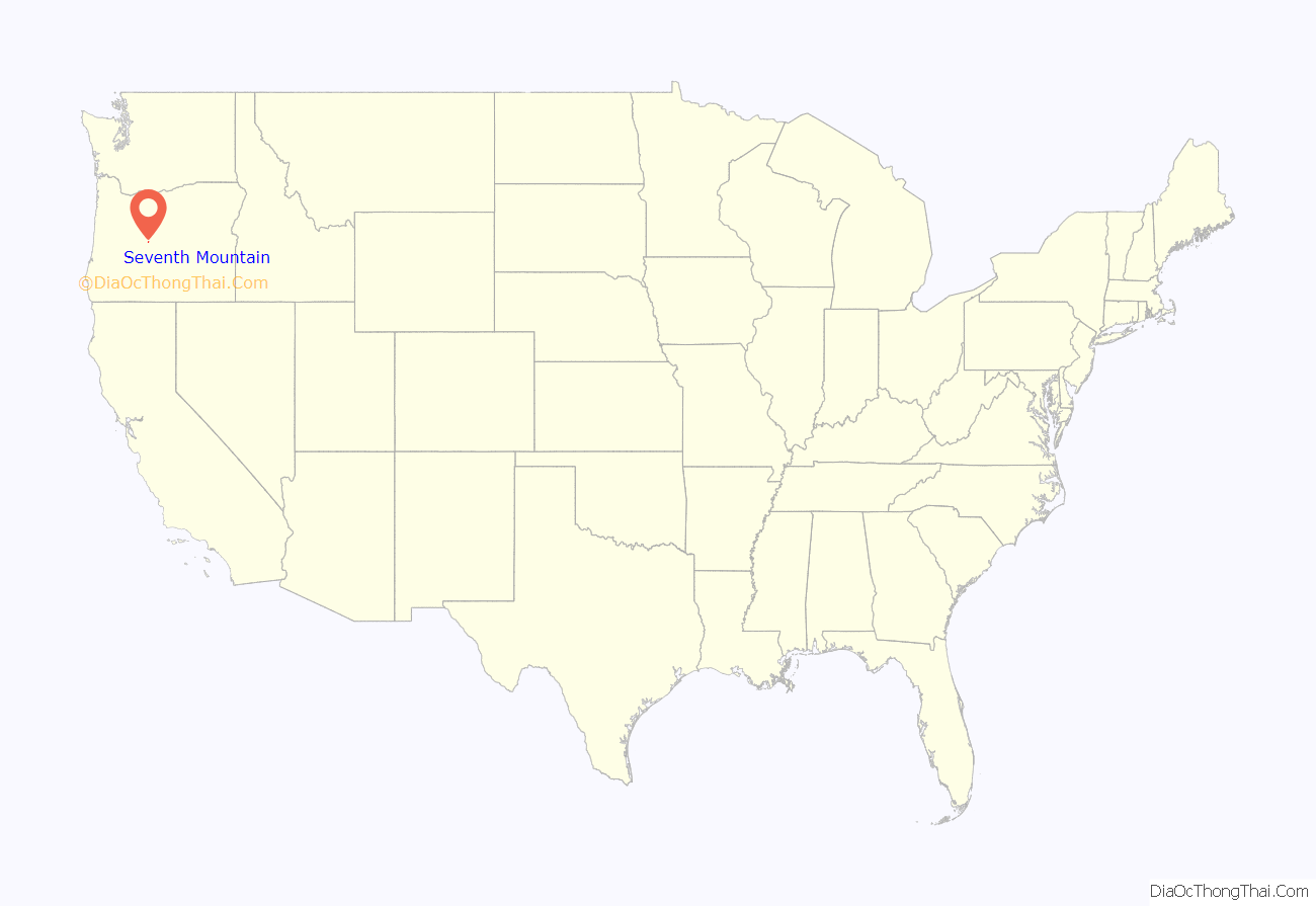
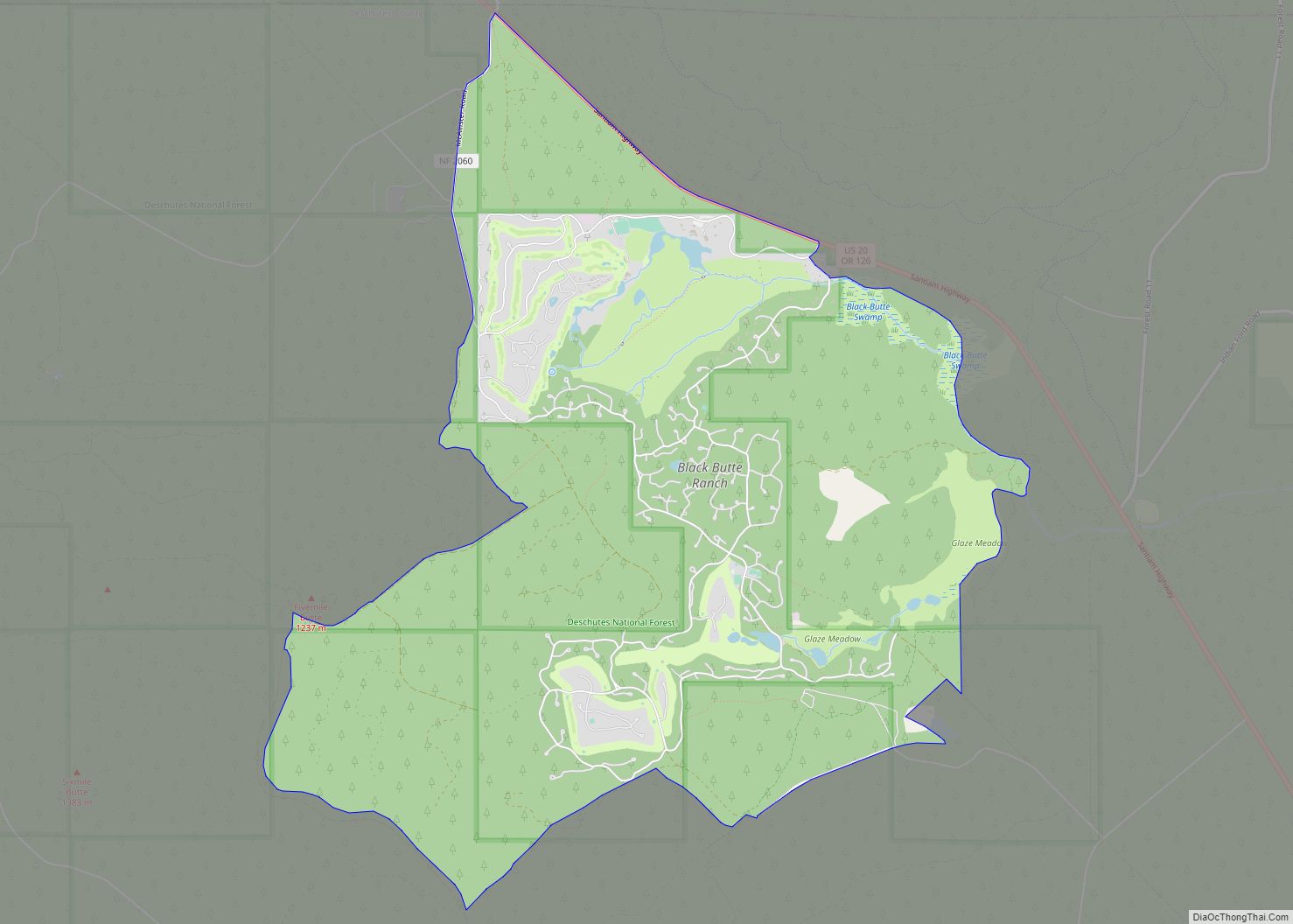
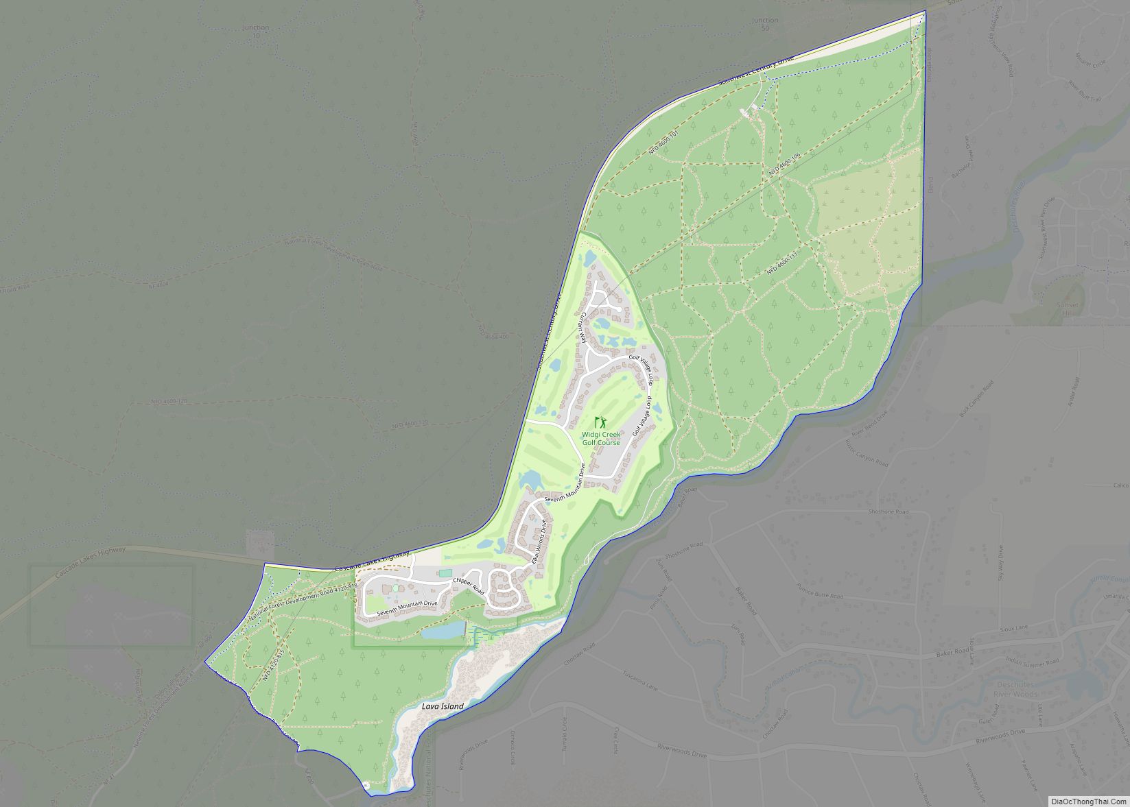
Seventh Mountain is an unincorporated community and census-designated place (CDP) in Deschutes County, in the U.S. state of Oregon. The community lies along the west bank of the Deschutes River southwest of Bend.
Century Drive Highway, part of the Cascade Lakes Scenic Byway, connects Bend to Seventh Mountain. From Seventh Mountain, the byway runs west to Mount Bachelor and its ski area. The CDP is closely associated with the Seventh Mountain Resort, which includes 21 lodging buildings with more than 200 condominiums.
For statistical purposes, the United States Census Bureau has defined Seventh Mountain as a census-designated place (CDP). The census definition of the area may not precisely correspond to local understanding of the area with the same name. As of the 2010 Census, the population was 187, over an area of 2.0 square miles (5.1 km).
| Name: | Seventh Mountain CDP |
|---|---|
| LSAD Code: | 57 |
| LSAD Description: | CDP (suffix) |
| State: | Oregon |
| County: | Deschutes County |
| Elevation: | 3,907 ft (1,191 m) |
| Total Area: | 1.94 sq mi (5.02 km²) |
| Land Area: | 1.94 sq mi (5.01 km²) |
| Water Area: | 0.01 sq mi (0.01 km²) |
| Total Population: | 407 |
| Population Density: | 210.34/sq mi (81.21/km²) |
| Area code: | 458 and 541 |
| FIPS code: | 4166385 |
| GNISfeature ID: | 2584422 |
Online Interactive Map
Click on ![]() to view map in "full screen" mode.
to view map in "full screen" mode.
Seventh Mountain location map. Where is Seventh Mountain CDP?
Seventh Mountain Road Map
Seventh Mountain city Satellite Map
See also
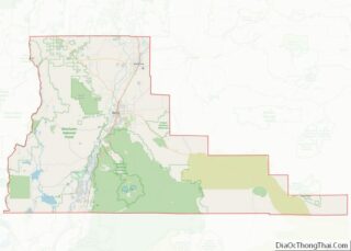
Map of Oregon State and its subdivision: Map of other states:- Alabama
- Alaska
- Arizona
- Arkansas
- California
- Colorado
- Connecticut
- Delaware
- District of Columbia
- Florida
- Georgia
- Hawaii
- Idaho
- Illinois
- Indiana
- Iowa
- Kansas
- Kentucky
- Louisiana
- Maine
- Maryland
- Massachusetts
- Michigan
- Minnesota
- Mississippi
- Missouri
- Montana
- Nebraska
- Nevada
- New Hampshire
- New Jersey
- New Mexico
- New York
- North Carolina
- North Dakota
- Ohio
- Oklahoma
- Oregon
- Pennsylvania
- Rhode Island
- South Carolina
- South Dakota
- Tennessee
- Texas
- Utah
- Vermont
- Virginia
- Washington
- West Virginia
- Wisconsin
- Wyoming
