Sodaville is a city in Linn County, Oregon, United States. The population was 308 at the 2010 census.
The city’s name comes from the nearby Sodaville Mineral Springs. A post office at Sodaville operated from 1871 to 1933.
| Name: | Sodaville city |
|---|---|
| LSAD Code: | 25 |
| LSAD Description: | city (suffix) |
| State: | Oregon |
| County: | Linn County |
| Incorporated: | 1880 |
| Elevation: | 492 ft (150 m) |
| Total Area: | 0.31 sq mi (0.80 km²) |
| Land Area: | 0.31 sq mi (0.80 km²) |
| Water Area: | 0.00 sq mi (0.00 km²) |
| Total Population: | 360 |
| Population Density: | 1,165.05/sq mi (449.79/km²) |
| ZIP code: | 97355 |
| Area code: | 458 and 541 |
| FIPS code: | 4168550 |
| GNISfeature ID: | 1136764 |
| Website: | sodaville.org |
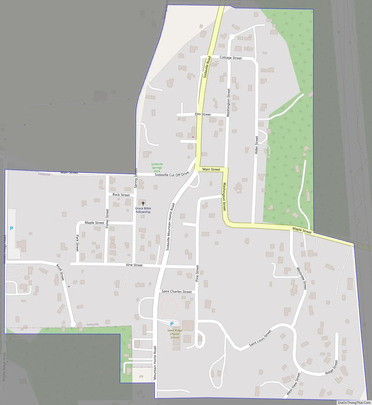
Online Interactive Map
Click on ![]() to view map in "full screen" mode.
to view map in "full screen" mode.
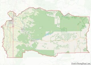
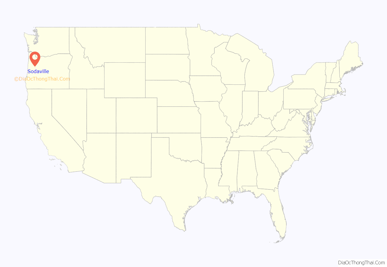
Sodaville location map. Where is Sodaville city?
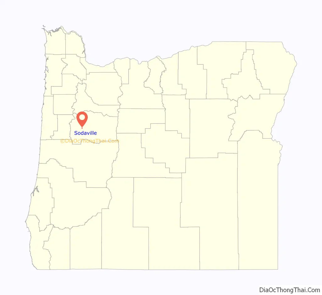
Sodaville Road Map
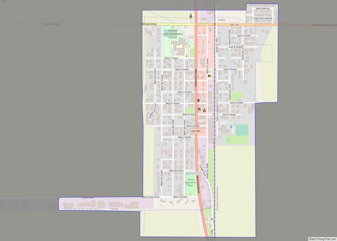
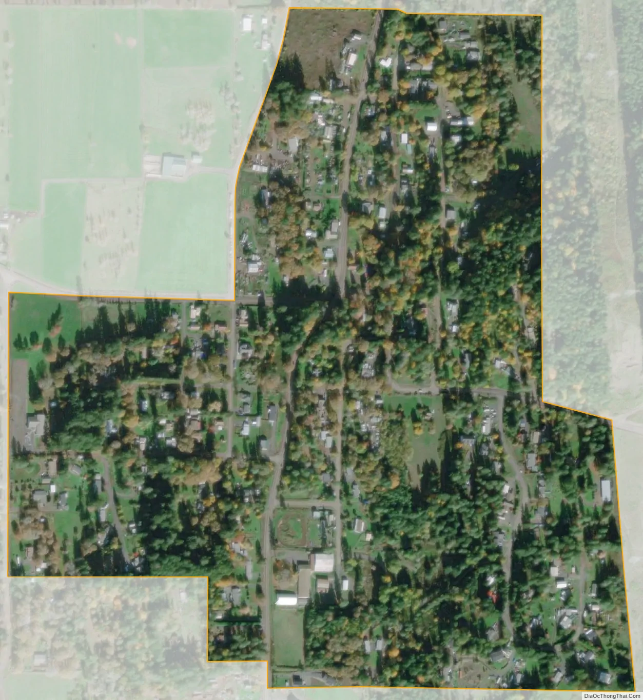
Sodaville city Satellite Map
Geography
According to the United States Census Bureau, the city has a total area of 0.31 square miles (0.80 km), all land.
See also
Map of Oregon State and its subdivision: Map of other states:- Alabama
- Alaska
- Arizona
- Arkansas
- California
- Colorado
- Connecticut
- Delaware
- District of Columbia
- Florida
- Georgia
- Hawaii
- Idaho
- Illinois
- Indiana
- Iowa
- Kansas
- Kentucky
- Louisiana
- Maine
- Maryland
- Massachusetts
- Michigan
- Minnesota
- Mississippi
- Missouri
- Montana
- Nebraska
- Nevada
- New Hampshire
- New Jersey
- New Mexico
- New York
- North Carolina
- North Dakota
- Ohio
- Oklahoma
- Oregon
- Pennsylvania
- Rhode Island
- South Carolina
- South Dakota
- Tennessee
- Texas
- Utah
- Vermont
- Virginia
- Washington
- West Virginia
- Wisconsin
- Wyoming