Sunriver is a census-designated place and 3,300-acre (13 km) planned residential and resort community in Deschutes County, Oregon, United States. As of the 2010 census it had a population of 1,393. It is part of the Bend Metropolitan Statistical Area, located on the eastern side of the Deschutes River, about fifteen miles (25 km) south of Bend at the base of the Cascade Range.
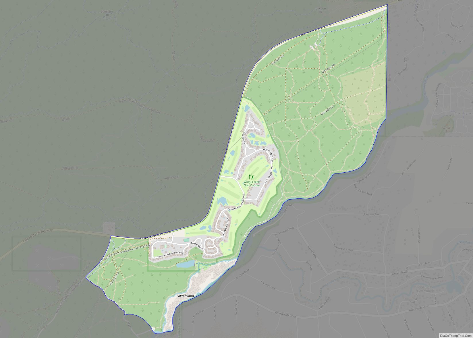
Sunriver consists of residential homesites and common areas, recreational facilities, the Sunriver Resort and a commercial development known as The Village at Sunriver.
The Sunriver Resort Lodge has hotel rooms, banquet facilities, a fine-dining restaurant, and other amenities. Sunriver Resort manages four golf courses. Two are public (Meadows and Woodlands) and two are private (Caldera and Crosswater, available to guests staying at the resort). Sunriver also features the SHARC (Sunriver Homeowners Aquatic and Recreation Center), completed in 2012.
| Name: | Sunriver CDP |
|---|---|
| LSAD Code: | 57 |
| LSAD Description: | CDP (suffix) |
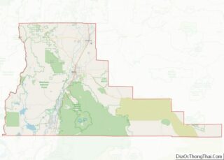
| State: | Oregon |
| County: | Deschutes County |
| Elevation: | 4,164 ft (1,269 m) |
| Total Area: | 8.99 sq mi (23.28 km²) |
| Land Area: | 8.85 sq mi (22.92 km²) |
| Water Area: | 0.14 sq mi (0.36 km²) |
| Total Population: | 2,023 |
| Population Density: | 228.61/sq mi (88.27/km²) |
| ZIP code: | 97707 |
| Area code: | 458 and 541 |
| FIPS code: | 4171250 |
Online Interactive Map
Click on ![]() to view map in "full screen" mode.
to view map in "full screen" mode.
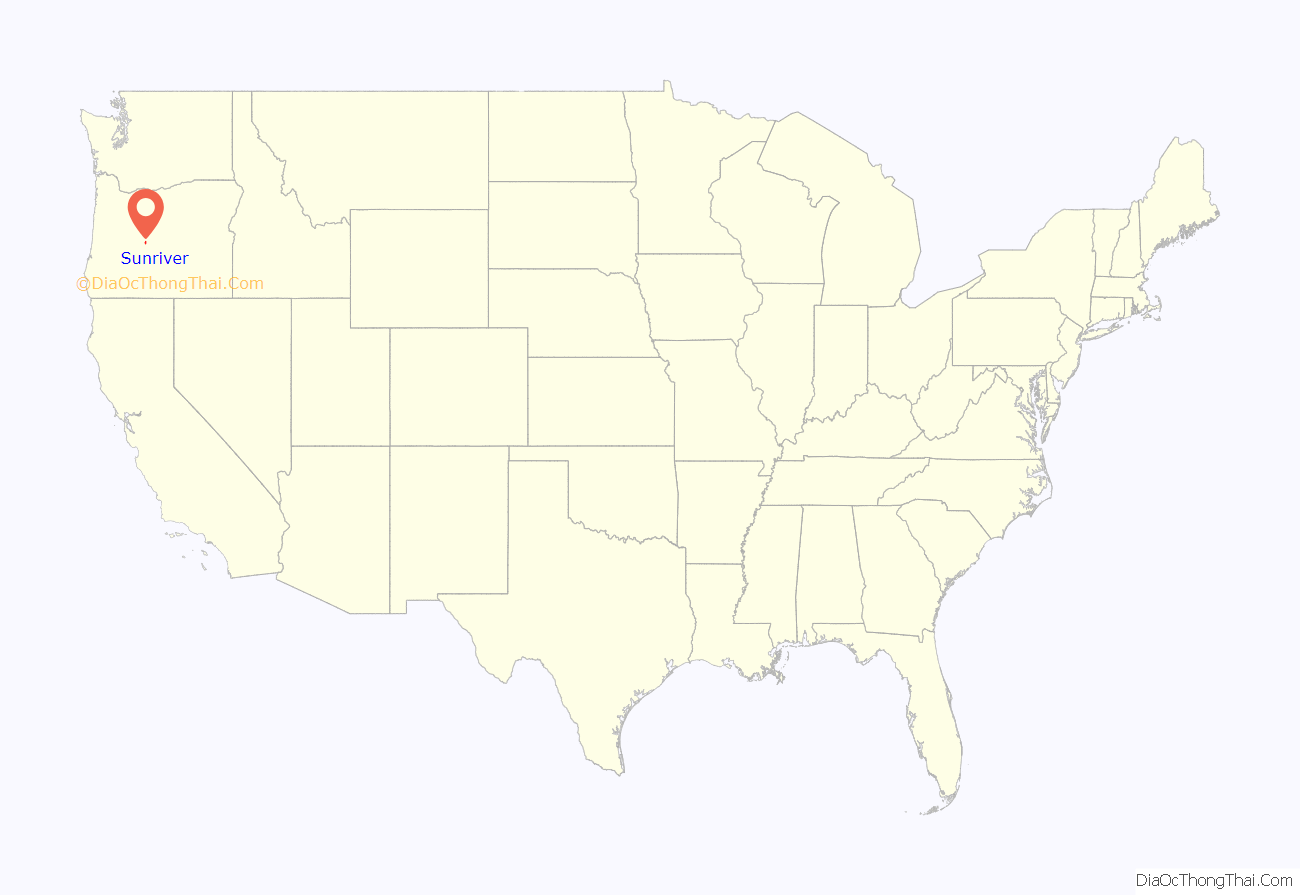
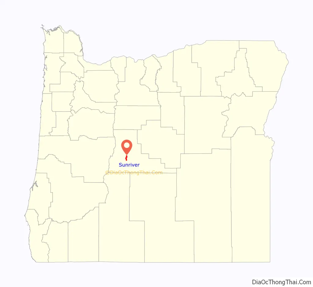
Sunriver location map. Where is Sunriver CDP?
History
Sunriver is located on the grounds of the former Camp Abbot, a World War II training facility designed to train combat engineers in a simulated combat environment. The U.S. Army camp opened in 1942, but by June 1944 the camp was abandoned and most of the settlement was razed.
The Officers’ Club was spared; it has been preserved and renovated and is now known as the “Great Hall,” under management of Sunriver Resort. The name “Sunriver” was selected by developers John Gray and Donald V. McCallum. The initial condominiums were built in 1968 in conjunction with the completion of Sunriver Lodge, and in 1969 the master plan was completed and developers began selling lots.
Sunriver was also the site of the pioneer Shonquest Ranch. Sunriver post office was established on July 18, 1969, at the same time as the public facilities were opened.
During the filming of Rooster Cogburn in autumn 1974, both of its 67-year-old stars, John Wayne and Katharine Hepburn, stayed at private homes in Sunriver. Governor Tom McCall flew in for a brief visit with them in early October.
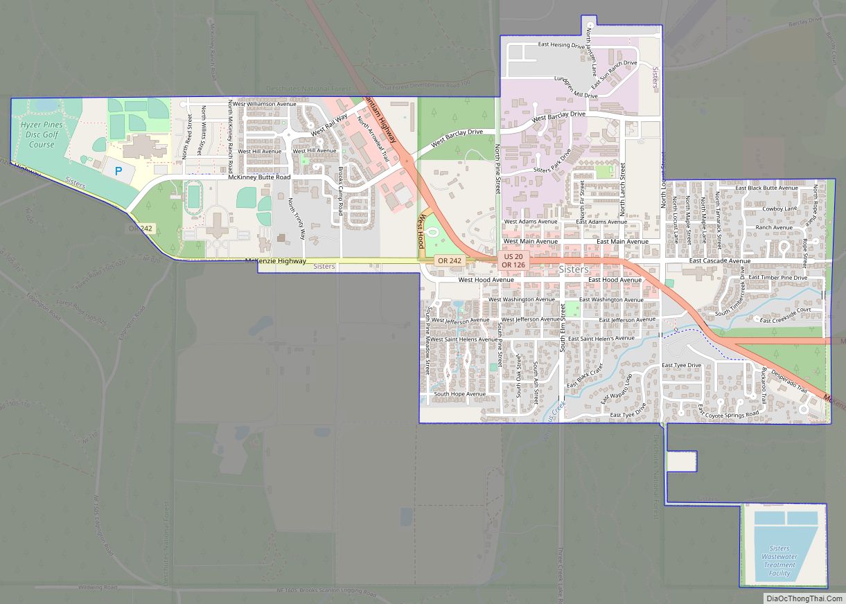
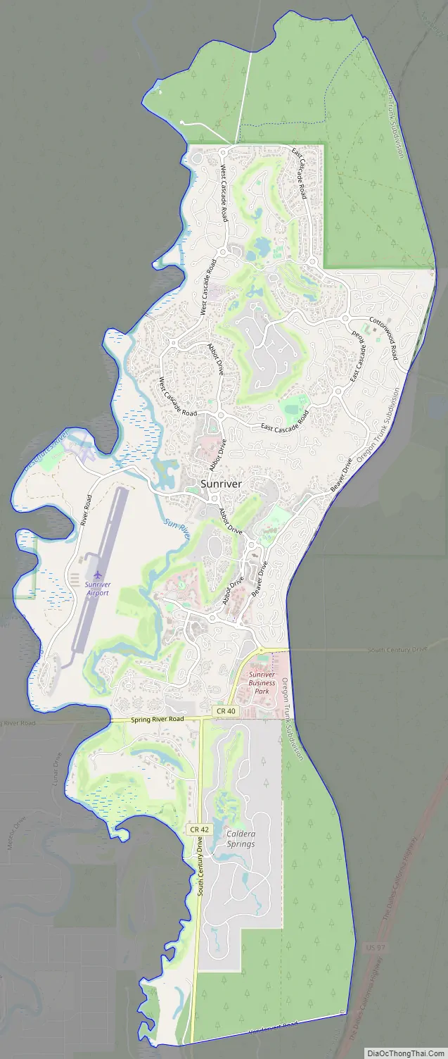
Sunriver Road Map
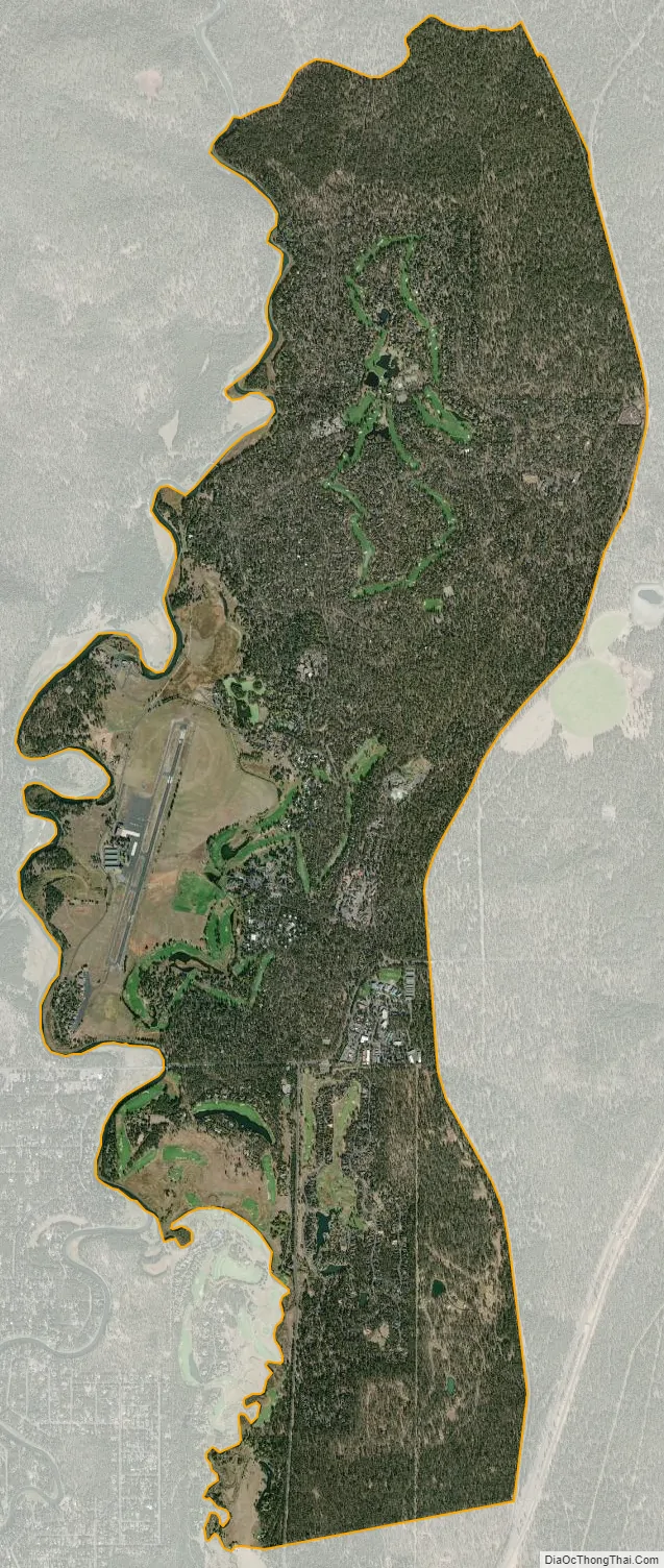
Sunriver city Satellite Map
See also
Map of Oregon State and its subdivision: Map of other states:- Alabama
- Alaska
- Arizona
- Arkansas
- California
- Colorado
- Connecticut
- Delaware
- District of Columbia
- Florida
- Georgia
- Hawaii
- Idaho
- Illinois
- Indiana
- Iowa
- Kansas
- Kentucky
- Louisiana
- Maine
- Maryland
- Massachusetts
- Michigan
- Minnesota
- Mississippi
- Missouri
- Montana
- Nebraska
- Nevada
- New Hampshire
- New Jersey
- New Mexico
- New York
- North Carolina
- North Dakota
- Ohio
- Oklahoma
- Oregon
- Pennsylvania
- Rhode Island
- South Carolina
- South Dakota
- Tennessee
- Texas
- Utah
- Vermont
- Virginia
- Washington
- West Virginia
- Wisconsin
- Wyoming