Three Rivers South is a census-designated place (CDP) and unincorporated community in Deschutes County, Oregon, United States. It is part of the Bend, Oregon Metropolitan Statistical Area. The population was 3,014 at the 2010 census.
| Name: | Three Rivers CDP |
|---|---|
| LSAD Code: | 57 |
| LSAD Description: | CDP (suffix) |
| State: | Oregon |
| County: | Deschutes County |
| Elevation: | 4,186 ft (1,276 m) |
| Total Area: | 7.53 sq mi (19.50 km²) |
| Land Area: | 7.53 sq mi (19.50 km²) |
| Water Area: | 0.00 sq mi (0.00 km²) |
| Total Population: | 3,925 |
| Population Density: | 521.25/sq mi (201.27/km²) |
| FIPS code: | 4173225 |
| GNISfeature ID: | 1867481 |
Online Interactive Map
Click on ![]() to view map in "full screen" mode.
to view map in "full screen" mode.
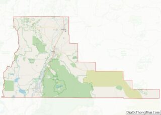
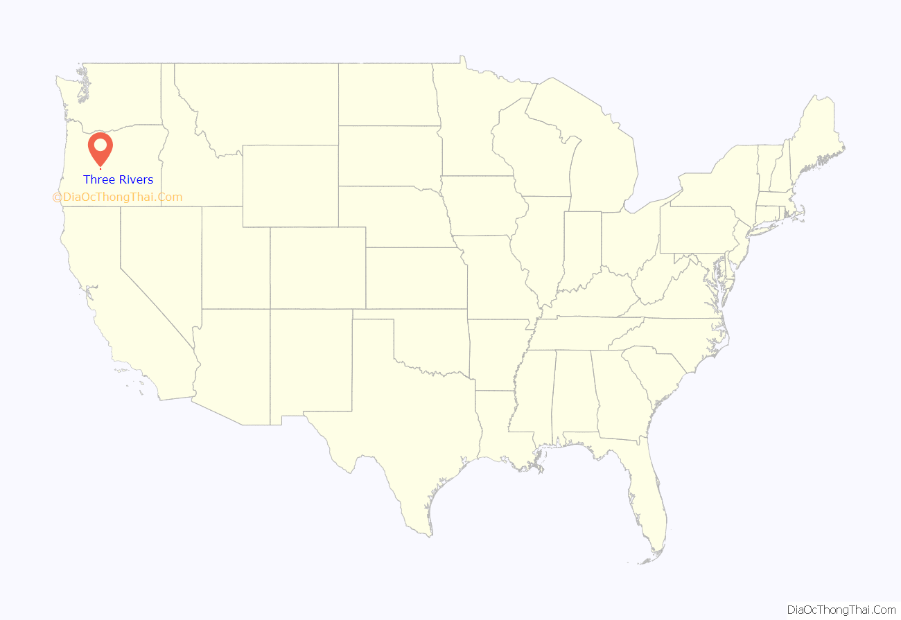
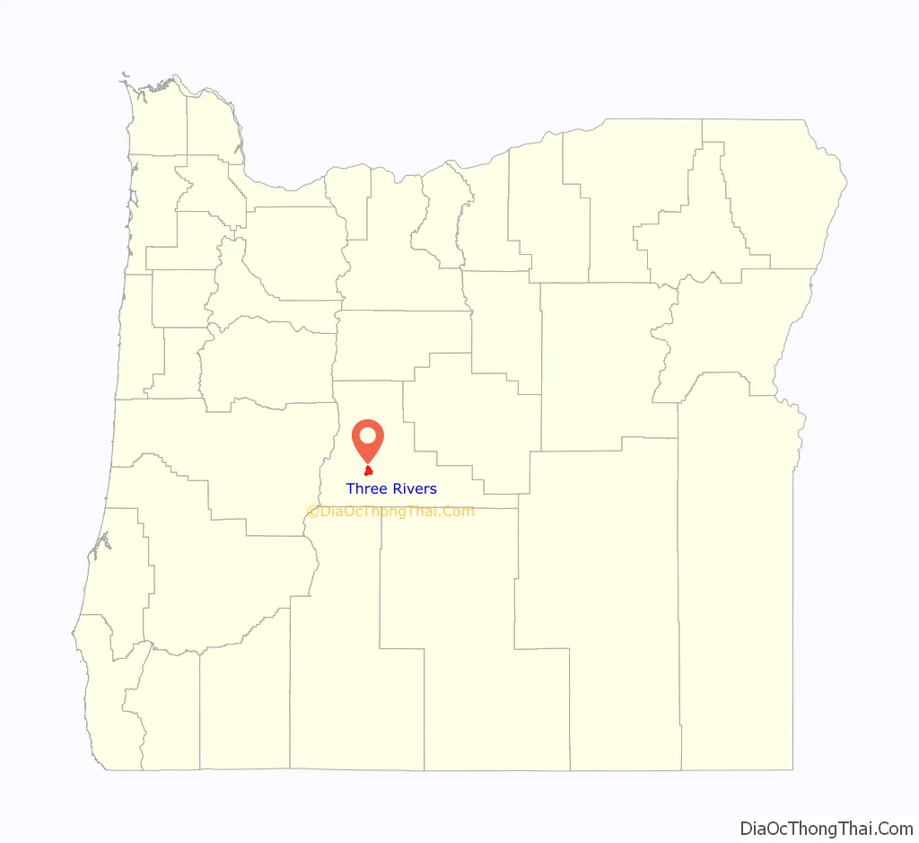
Three Rivers location map. Where is Three Rivers CDP?
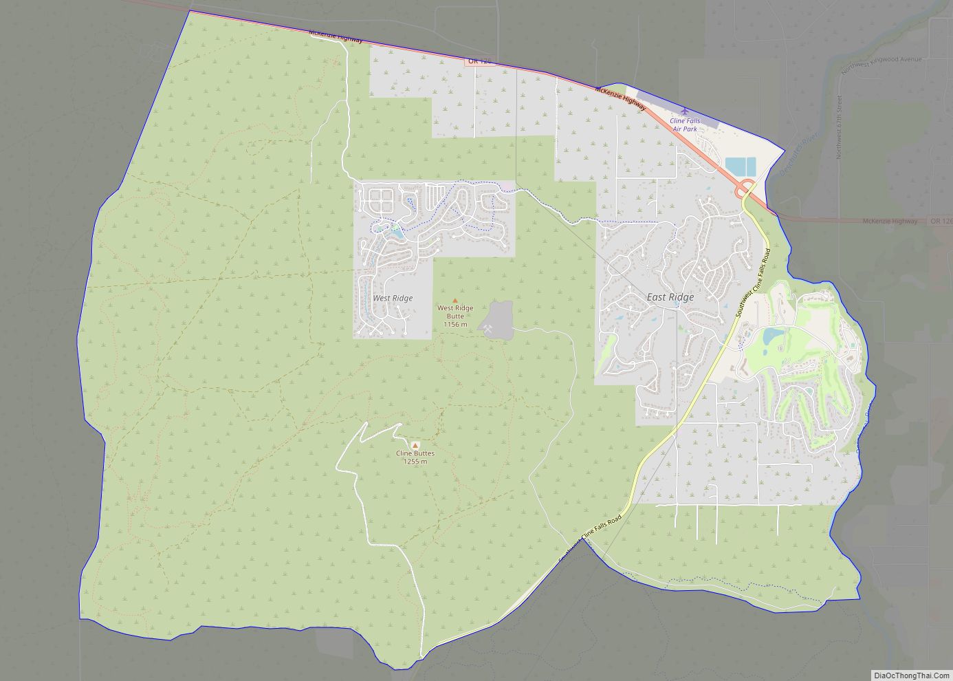
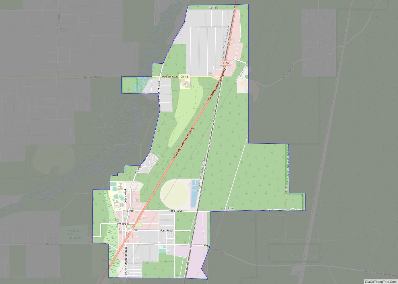
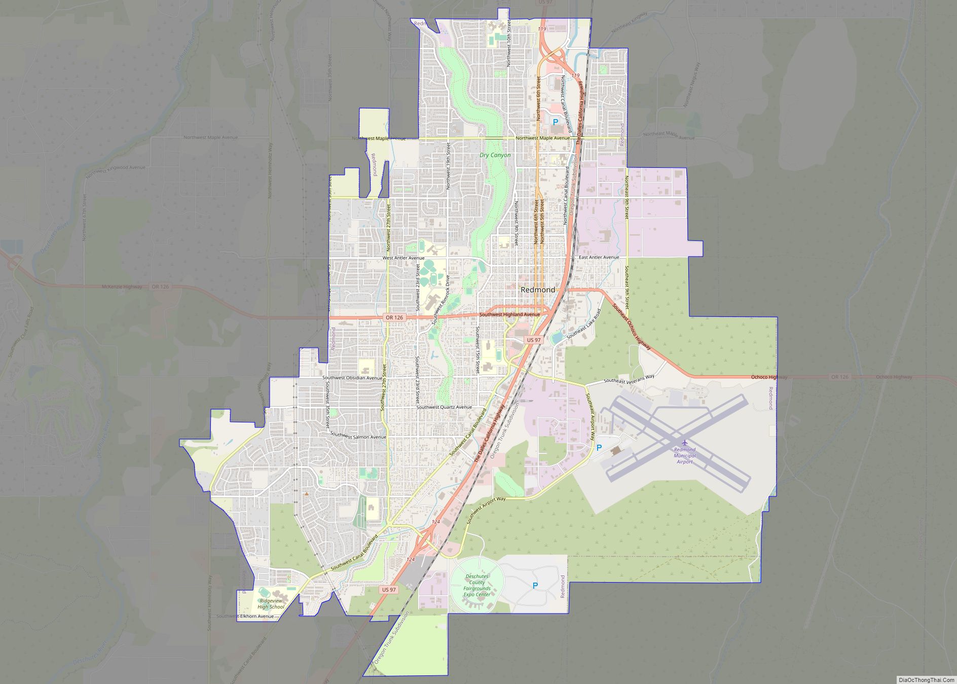
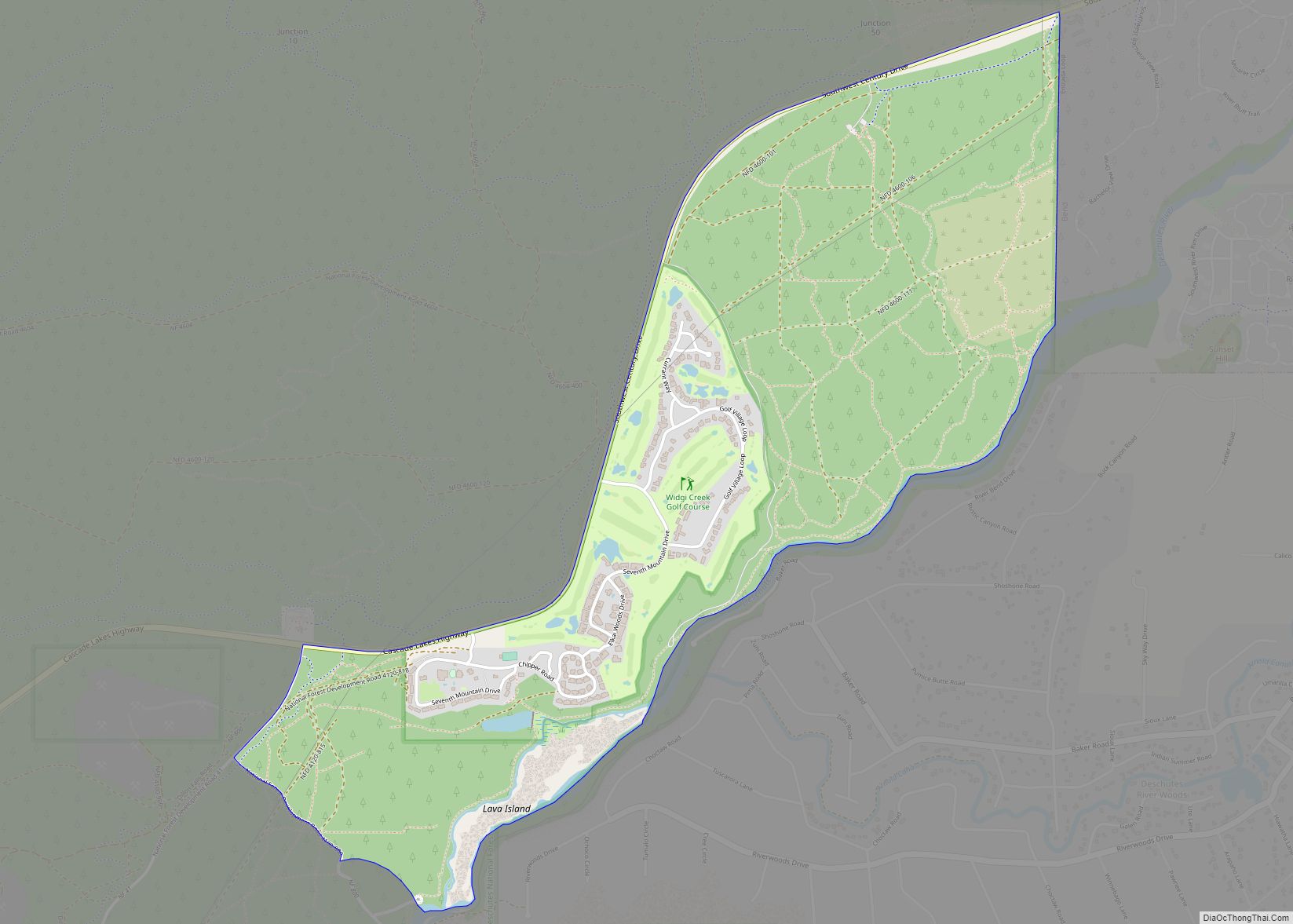
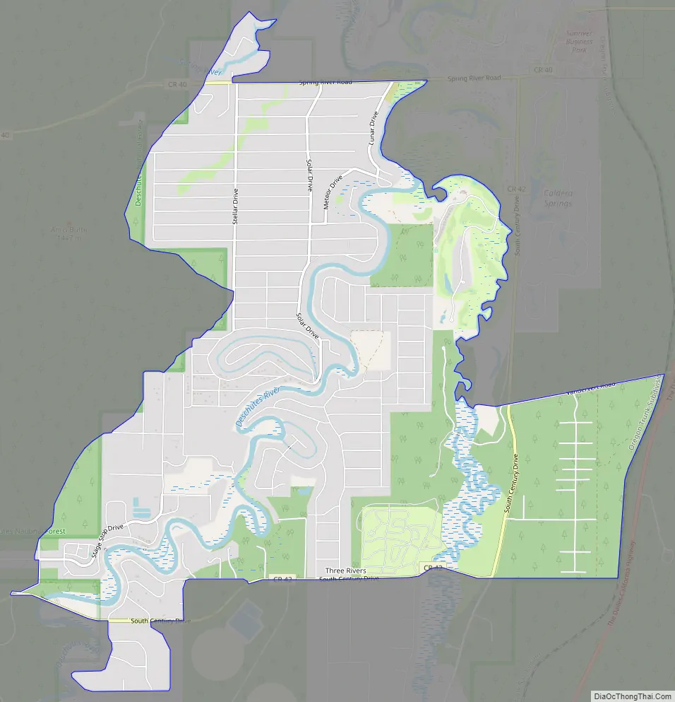
Three Rivers Road Map
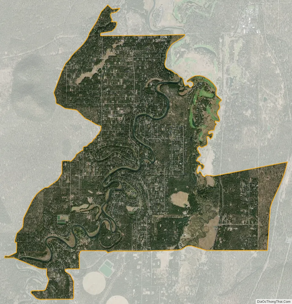
Three Rivers city Satellite Map
Geography
Three Rivers South is located in south-central Deschutes County, south of Sunriver and north of La Pine, just west of U.S. Route 97. The Deschutes and Little Deschutes rivers join in the CDP, with the Little Deschutes passing through the eastern part of the CDP and the Deschutes River passing through the west. The Spring River is a short spring-fed river in the northern part of the CDP that joins the Deschutes River from the west.
According to the United States Census Bureau, the CDP has a total area of 7.5 square miles (19.5 km), all counted as land.
See also
Map of Oregon State and its subdivision: Map of other states:- Alabama
- Alaska
- Arizona
- Arkansas
- California
- Colorado
- Connecticut
- Delaware
- District of Columbia
- Florida
- Georgia
- Hawaii
- Idaho
- Illinois
- Indiana
- Iowa
- Kansas
- Kentucky
- Louisiana
- Maine
- Maryland
- Massachusetts
- Michigan
- Minnesota
- Mississippi
- Missouri
- Montana
- Nebraska
- Nevada
- New Hampshire
- New Jersey
- New Mexico
- New York
- North Carolina
- North Dakota
- Ohio
- Oklahoma
- Oregon
- Pennsylvania
- Rhode Island
- South Carolina
- South Dakota
- Tennessee
- Texas
- Utah
- Vermont
- Virginia
- Washington
- West Virginia
- Wisconsin
- Wyoming