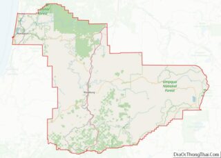
Tri-City (or Tri City) is a census-designated place (CDP) and unincorporated community in Douglas County, Oregon, United States. The population was 3,931 at the 2010 census. The community in Missouri Bottom near the Umpqua River is named for the three cities among which it is centered: Myrtle Creek, Canyonville and Riddle. The Tri City School District probably originated the name, which was later adopted by the local sewer district and the former Tri City State Airport (now known as the Myrtle Creek Municipal Airport).
| Name: | Tri-City CDP |
|---|---|
| LSAD Code: | 57 |
| LSAD Description: | CDP (suffix) |
| State: | Oregon |
| County: | Douglas County |
| Elevation: | 741 ft (226 m) |
| Total Area: | 7.27 sq mi (18.82 km²) |
| Land Area: | 7.27 sq mi (18.82 km²) |
| Water Area: | 0.00 sq mi (0.00 km²) |
| Total Population: | 4,019 |
| Population Density: | 553.12/sq mi (213.57/km²) |
| ZIP code: | 97457 |
| Area code: | 458 and 541 |
| FIPS code: | 4174650 |
| GNISfeature ID: | 1867482 |
Online Interactive Map
Click on ![]() to view map in "full screen" mode.
to view map in "full screen" mode.
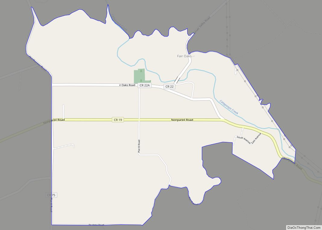
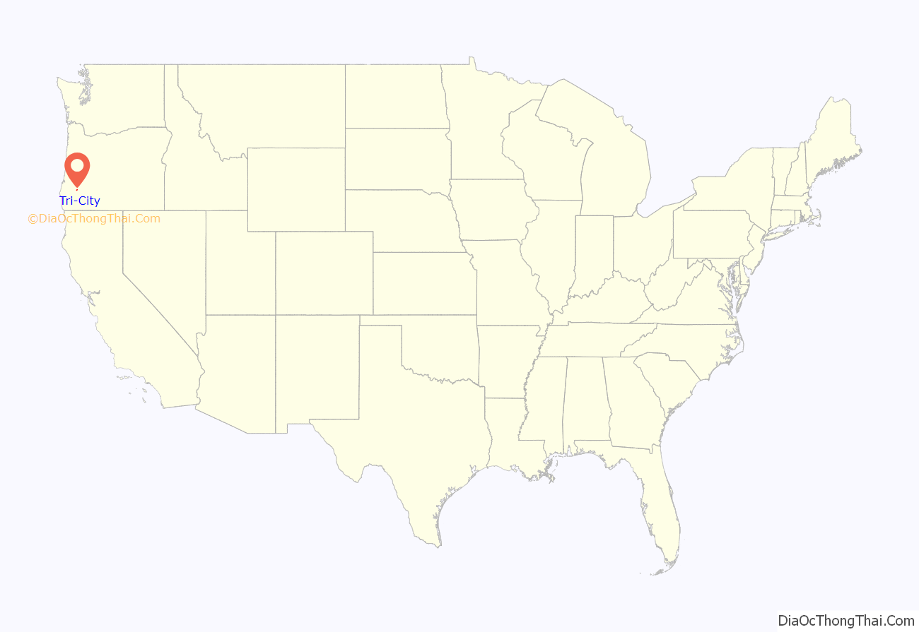
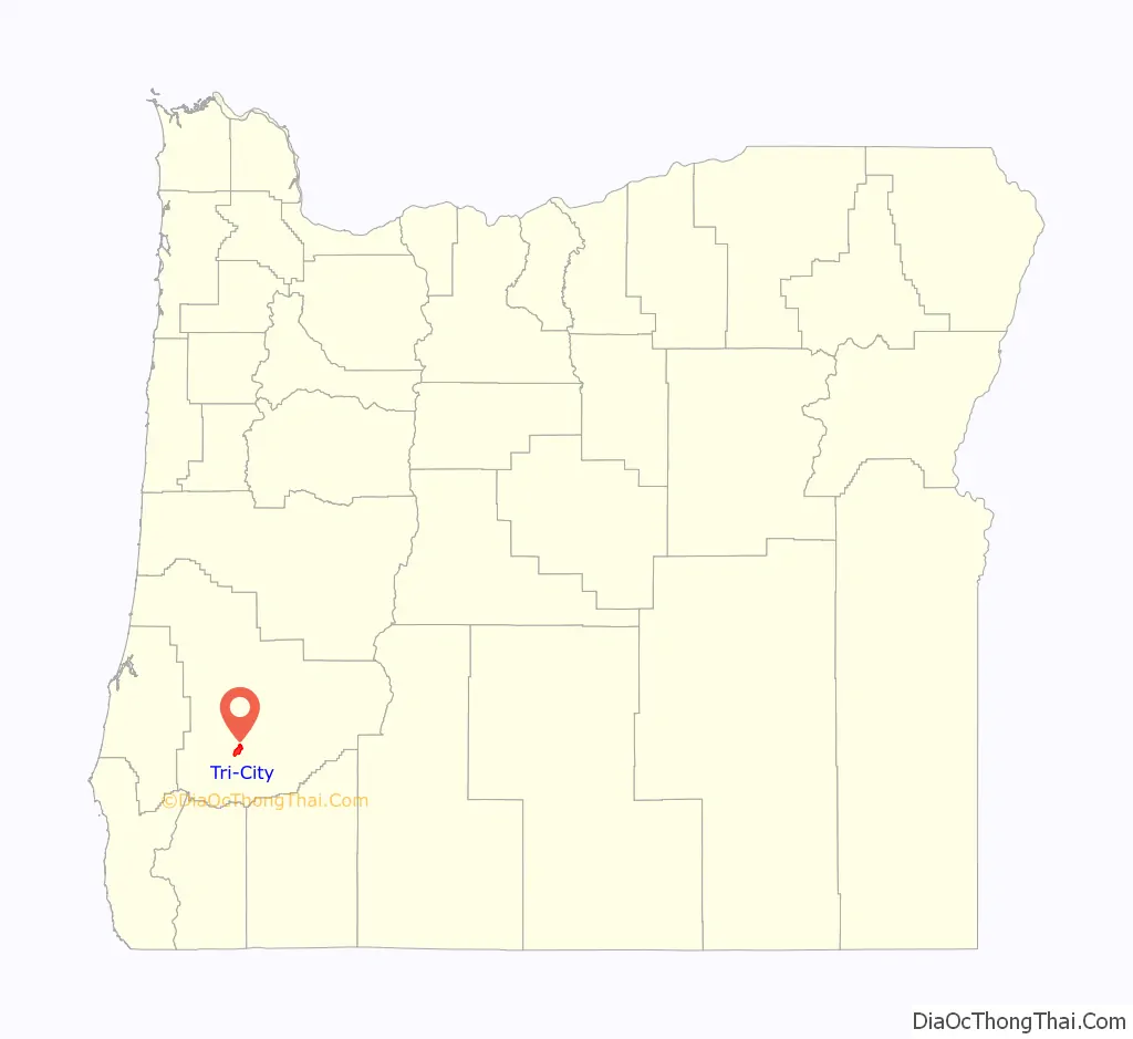
Tri-City location map. Where is Tri-City CDP?
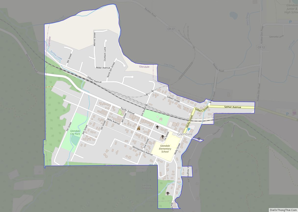
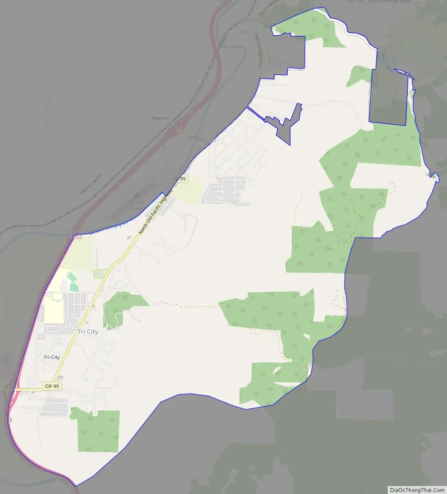
Tri-City Road Map
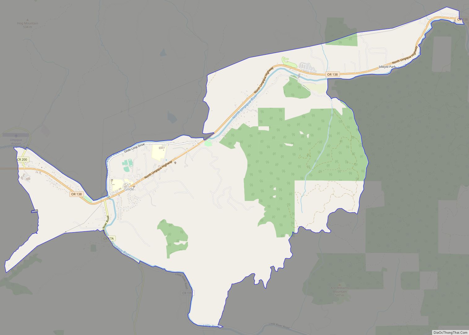
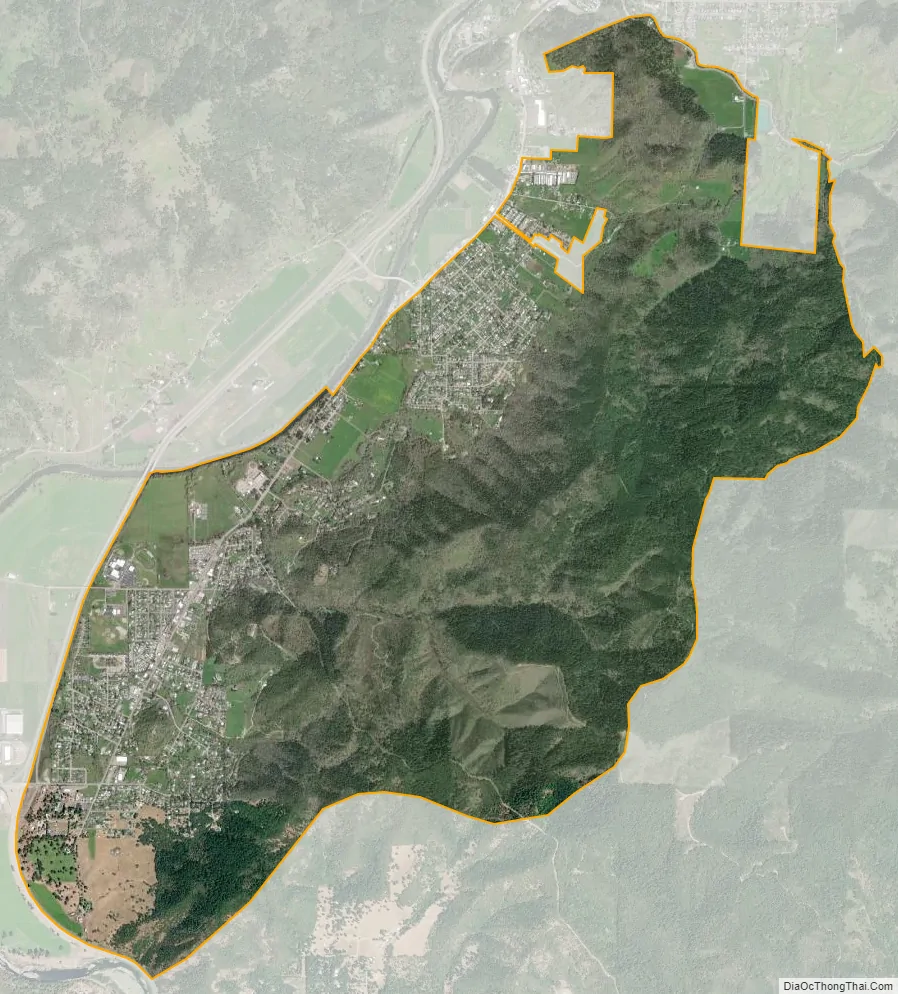
Tri-City city Satellite Map
Geography
The area is at 689 feet (210 m) above sea-level. According to the United States Census Bureau, the CDP has a total area of 7.2 square miles (18.7 km), all of it land.
See also
Map of Oregon State and its subdivision: Map of other states:- Alabama
- Alaska
- Arizona
- Arkansas
- California
- Colorado
- Connecticut
- Delaware
- District of Columbia
- Florida
- Georgia
- Hawaii
- Idaho
- Illinois
- Indiana
- Iowa
- Kansas
- Kentucky
- Louisiana
- Maine
- Maryland
- Massachusetts
- Michigan
- Minnesota
- Mississippi
- Missouri
- Montana
- Nebraska
- Nevada
- New Hampshire
- New Jersey
- New Mexico
- New York
- North Carolina
- North Dakota
- Ohio
- Oklahoma
- Oregon
- Pennsylvania
- Rhode Island
- South Carolina
- South Dakota
- Tennessee
- Texas
- Utah
- Vermont
- Virginia
- Washington
- West Virginia
- Wisconsin
- Wyoming