Veneta is a city in Lane County, Oregon, United States. As of the 2010 census, the city population was 4,561.
| Name: | Veneta city |
|---|---|
| LSAD Code: | 25 |
| LSAD Description: | city (suffix) |
| State: | Oregon |
| County: | Lane County |
| Incorporated: | 1962 |
| Elevation: | 418 ft (127.4 m) |
| Total Area: | 2.57 sq mi (6.66 km²) |
| Land Area: | 2.57 sq mi (6.66 km²) |
| Water Area: | 0.00 sq mi (0.00 km²) |
| Total Population: | 5,214 |
| Population Density: | 2,028.79/sq mi (783.34/km²) |
| ZIP code: | 97487 |
| Area code: | 458 and 541 |
| FIPS code: | 4177050 |
| GNISfeature ID: | 1136867 |
| Website: | www.ci.veneta.or.us |
Online Interactive Map
Click on ![]() to view map in "full screen" mode.
to view map in "full screen" mode.
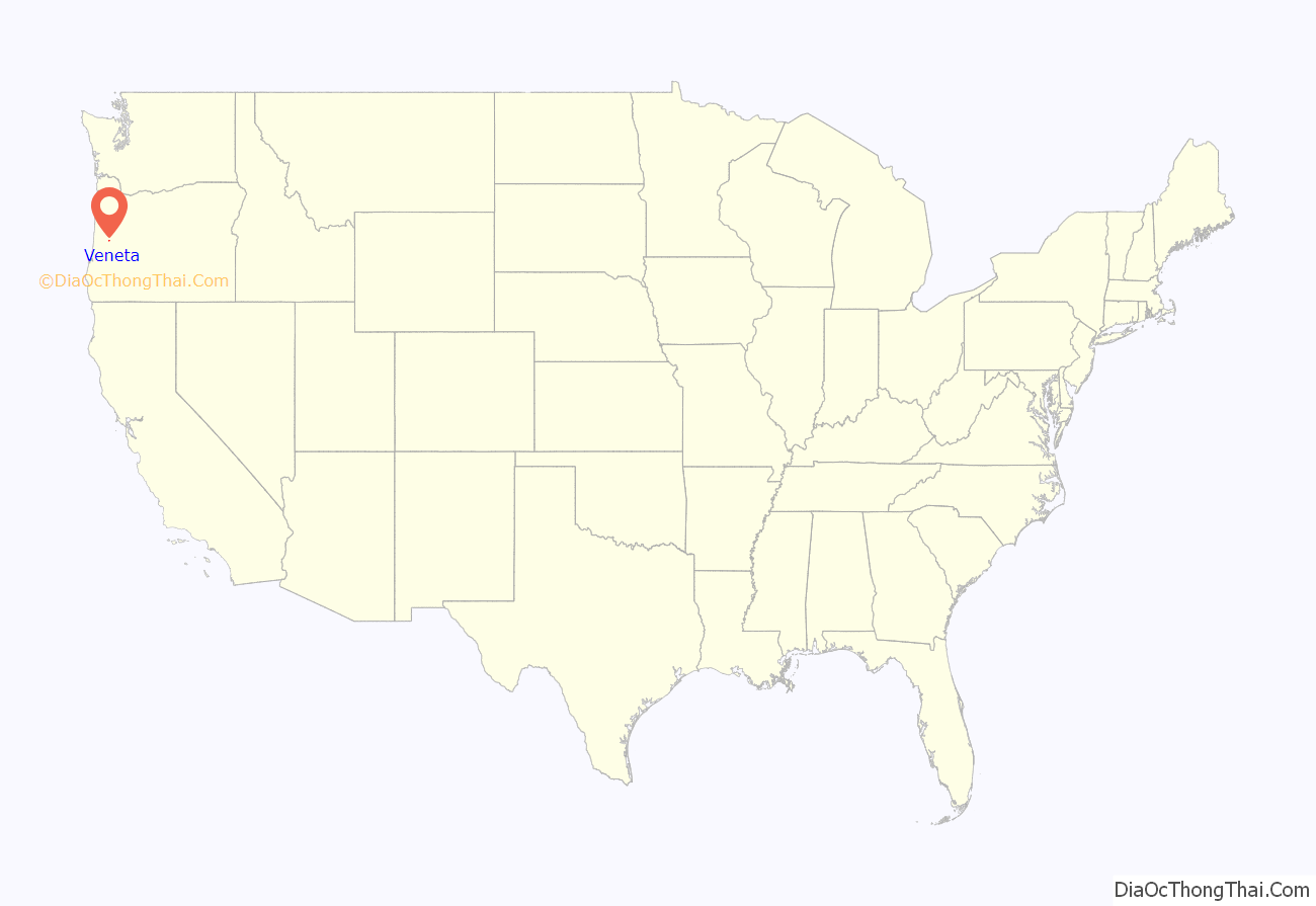
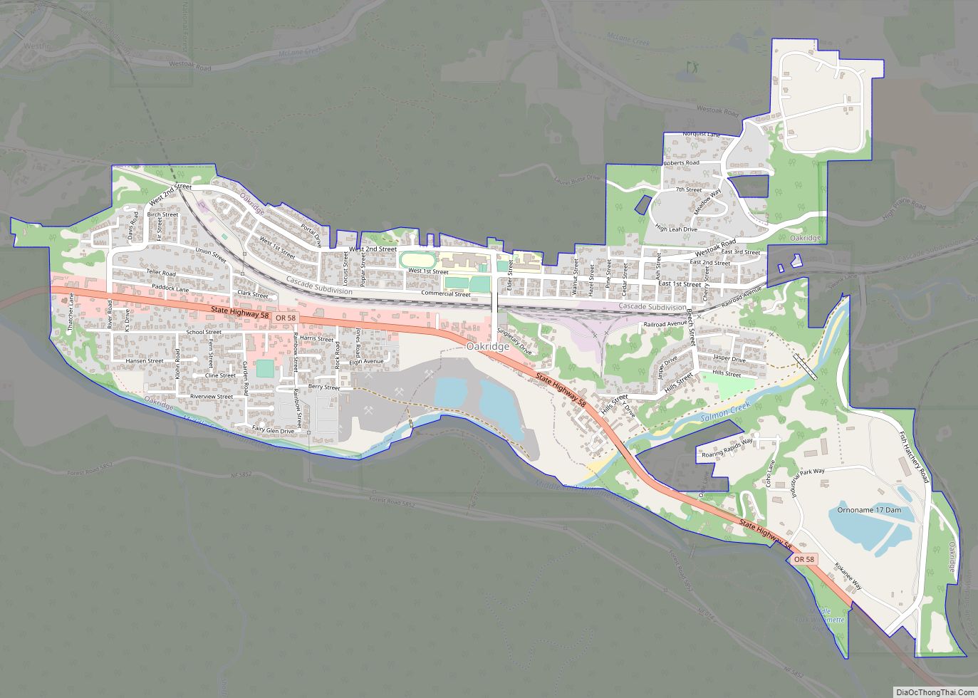
Veneta location map. Where is Veneta city?
History
Veneta was established in 1912 by Edmund Eugene Hunter, who named the settlement after his five-year-old daughter. Veneta post office was established in 1914. Veneta Hunter Vincent, the city’s namesake, died in 2000 at age 91. She had attended the city’s 70th anniversary party in 1982.
Veneta has been the site of the annual Oregon Country Fair, originally called the Renaissance Faire, since 1970.
On August 27, 1972, the Grateful Dead played a concert—the first “Field Trip”—at the Oregon Country Fair site. The concert, a benefit for Springfield Creamery, has become legendary to Deadheads and is documented in the film Sunshine Daydream. The city’s name is used on Veneta, Oregon, a 2004 release by New Riders of the Purple Sage, which is a live recording of the group’s opening performance at the 1972 Field Trip.
Veneta Road Map
Veneta city Satellite Map
Geography
According to the United States Census Bureau, the city has a total area of 2.57 square miles (6.66 km), all of it land.
Climate
This region experiences warm (but not hot) and dry summers, with no average monthly temperatures above 71.6 °F (22.0 °C). According to the Köppen Climate Classification system, Veneta has a warm-summer Mediterranean climate, abbreviated “Csb” on climate maps.
See also
Map of Oregon State and its subdivision: Map of other states:- Alabama
- Alaska
- Arizona
- Arkansas
- California
- Colorado
- Connecticut
- Delaware
- District of Columbia
- Florida
- Georgia
- Hawaii
- Idaho
- Illinois
- Indiana
- Iowa
- Kansas
- Kentucky
- Louisiana
- Maine
- Maryland
- Massachusetts
- Michigan
- Minnesota
- Mississippi
- Missouri
- Montana
- Nebraska
- Nevada
- New Hampshire
- New Jersey
- New Mexico
- New York
- North Carolina
- North Dakota
- Ohio
- Oklahoma
- Oregon
- Pennsylvania
- Rhode Island
- South Carolina
- South Dakota
- Tennessee
- Texas
- Utah
- Vermont
- Virginia
- Washington
- West Virginia
- Wisconsin
- Wyoming
