Waterloo is a city in Linn County, Oregon, United States. The population was 229 at the 2010 census.
The city’s name, a joking reference to the Battle of Waterloo, stemmed from a 19th-century court decision that settled a land dispute at Kees Mill along the South Santiam River. After the dispute ended, Kees Mill became known as Waterloo.
The federal government established a post office at Waterloo on January 5, 1875. S. D. Granger was its first postmaster. The post office closed in 1974.
| Name: | Waterloo town |
|---|---|
| LSAD Code: | 43 |
| LSAD Description: | town (suffix) |
| State: | Oregon |
| County: | Linn County |
| Incorporated: | 1893 |
| Elevation: | 402 ft (122.5 m) |
| Total Area: | 0.12 sq mi (0.31 km²) |
| Land Area: | 0.12 sq mi (0.31 km²) |
| Water Area: | 0.00 sq mi (0.00 km²) |
| Total Population: | 222 |
| Population Density: | 1,834.71/sq mi (706.72/km²) |
| ZIP code: | 97355 |
| Area code: | 458 and 541 |
| FIPS code: | 4179050 |
| GNISfeature ID: | 1136880 |
Online Interactive Map
Click on ![]() to view map in "full screen" mode.
to view map in "full screen" mode.
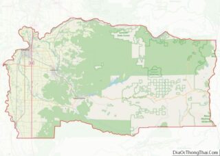
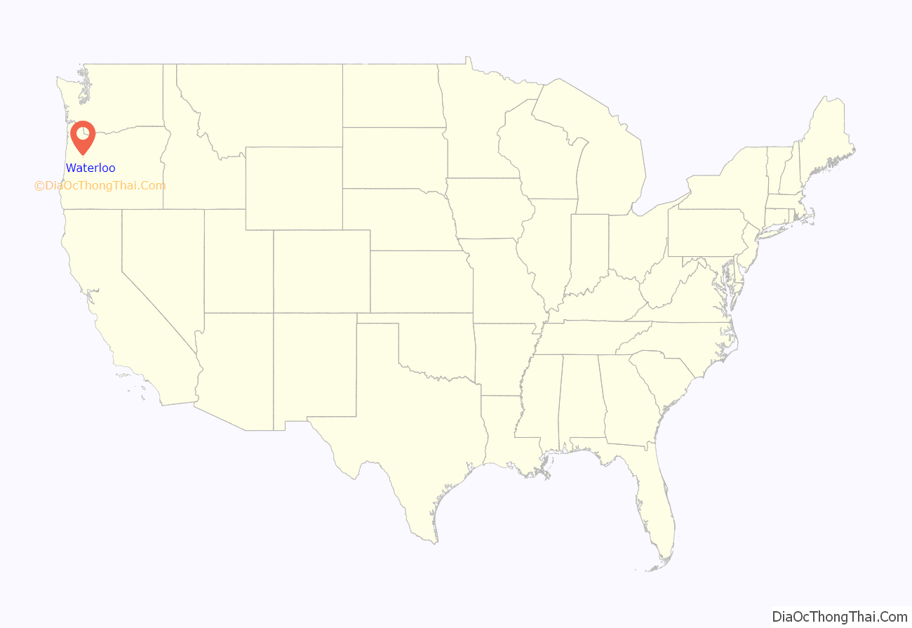
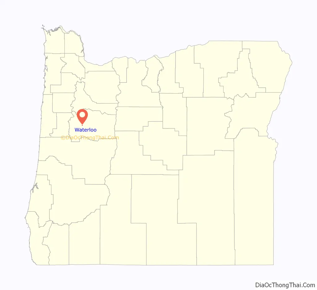
Waterloo location map. Where is Waterloo town?
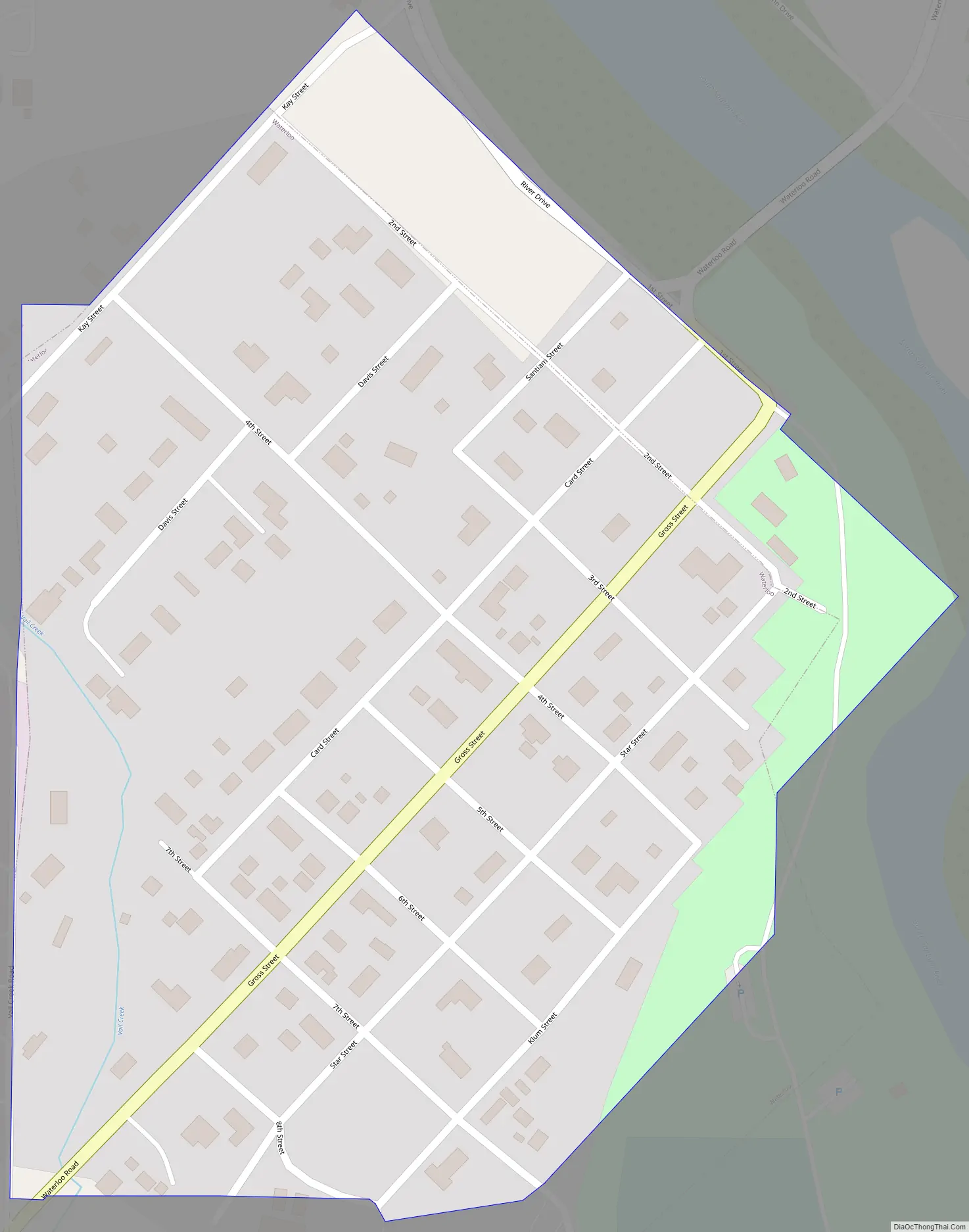
Waterloo Road Map
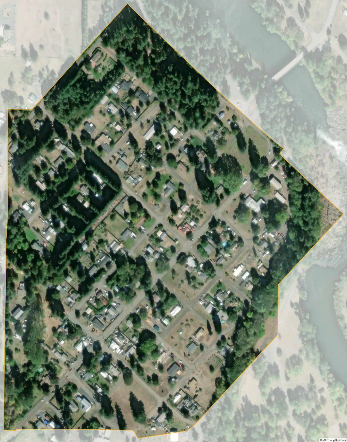
Waterloo city Satellite Map
Geography
According to the United States Census Bureau, the town has a total area of 0.12 square miles (0.31 km), all land. The closest city is Lebanon.
Climate
This region experiences warm (but not hot) and dry summers, with no average monthly temperatures above 71.6 °F (22.0 °C). According to the Köppen Climate Classification system, Waterloo has a warm-summer Mediterranean climate, abbreviated “Csb” on climate maps.
See also
Map of Oregon State and its subdivision: Map of other states:- Alabama
- Alaska
- Arizona
- Arkansas
- California
- Colorado
- Connecticut
- Delaware
- District of Columbia
- Florida
- Georgia
- Hawaii
- Idaho
- Illinois
- Indiana
- Iowa
- Kansas
- Kentucky
- Louisiana
- Maine
- Maryland
- Massachusetts
- Michigan
- Minnesota
- Mississippi
- Missouri
- Montana
- Nebraska
- Nevada
- New Hampshire
- New Jersey
- New Mexico
- New York
- North Carolina
- North Dakota
- Ohio
- Oklahoma
- Oregon
- Pennsylvania
- Rhode Island
- South Carolina
- South Dakota
- Tennessee
- Texas
- Utah
- Vermont
- Virginia
- Washington
- West Virginia
- Wisconsin
- Wyoming