Wheeler is a city in Tillamook County, Oregon, United States. The population was 414 at the 2010 census. It is named after Coleman Wheeler, who opened a sawmill in the town and had a lumber business; Coleman is a great-grandfather of Ted Wheeler, who as of 2020 is mayor of Portland, Oregon.
| Name: | Wheeler city |
|---|---|
| LSAD Code: | 25 |
| LSAD Description: | city (suffix) |
| State: | Oregon |
| County: | Tillamook County |
| Incorporated: | 1914 |
| Elevation: | 37 ft (11 m) |
| Total Area: | 0.52 sq mi (1.35 km²) |
| Land Area: | 0.52 sq mi (1.35 km²) |
| Water Area: | 0.00 sq mi (0.00 km²) |
| Total Population: | 422 |
| Population Density: | 808.43/sq mi (312.32/km²) |
| ZIP code: | 97147 |
| Area code: | 503 |
| FIPS code: | 4181300 |
| GNISfeature ID: | 1128930 |
Online Interactive Map
Click on ![]() to view map in "full screen" mode.
to view map in "full screen" mode.
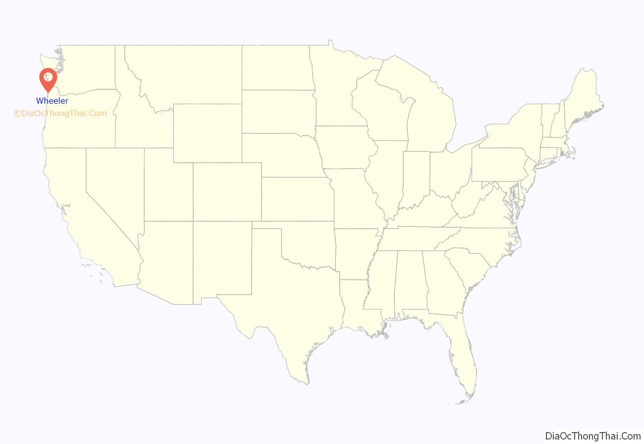
Wheeler location map. Where is Wheeler city?
History
In 1900, Coleman Wheeler and others incorporated the Wheeler Lumber Company and the Nehalem Transportation Company. The C.H. Wheeler barge was launched in the same year and sunk, with a loss of life, in 1901.
A Tillamook Observer article from September 1913 touts the town’s founding, the riches of the Wheeler Lumber Company, and says the Union Fishermans Cooperative Packing Company was “employing only white labor”.
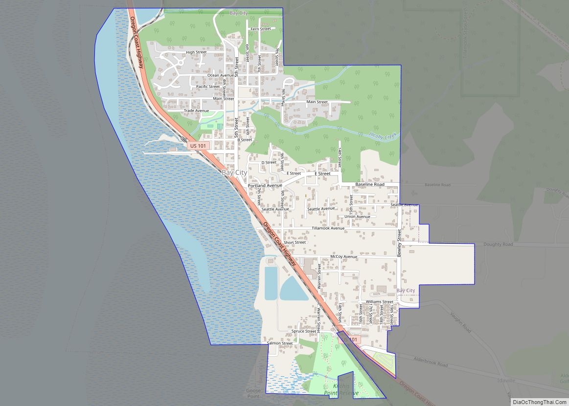
Wheeler Road Map
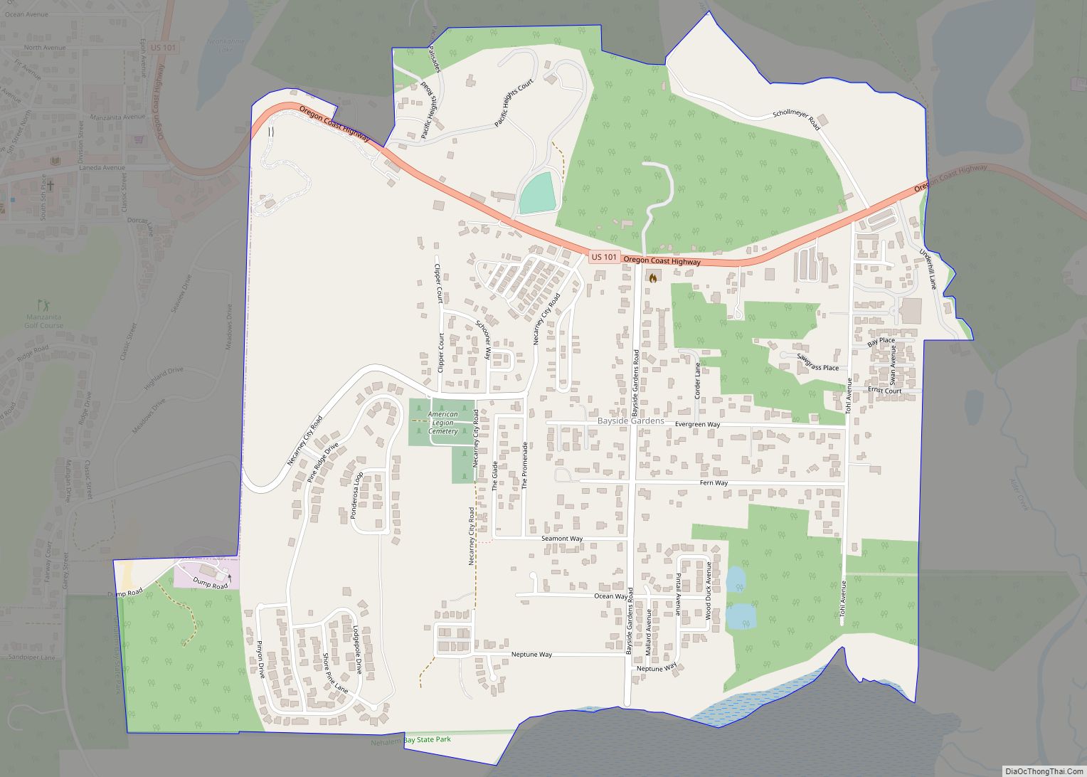
Wheeler city Satellite Map
Geography
According to the United States Census Bureau, the city has a total area of 0.52 square miles (1.35 km), all of it land.
See also
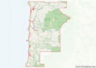
Map of Oregon State and its subdivision: Map of other states:- Alabama
- Alaska
- Arizona
- Arkansas
- California
- Colorado
- Connecticut
- Delaware
- District of Columbia
- Florida
- Georgia
- Hawaii
- Idaho
- Illinois
- Indiana
- Iowa
- Kansas
- Kentucky
- Louisiana
- Maine
- Maryland
- Massachusetts
- Michigan
- Minnesota
- Mississippi
- Missouri
- Montana
- Nebraska
- Nevada
- New Hampshire
- New Jersey
- New Mexico
- New York
- North Carolina
- North Dakota
- Ohio
- Oklahoma
- Oregon
- Pennsylvania
- Rhode Island
- South Carolina
- South Dakota
- Tennessee
- Texas
- Utah
- Vermont
- Virginia
- Washington
- West Virginia
- Wisconsin
- Wyoming
