Yoncalla is a city in Douglas County, Oregon, United States. The population was 1,047 at the 2010 census.
| Name: | Yoncalla city |
|---|---|
| LSAD Code: | 25 |
| LSAD Description: | city (suffix) |
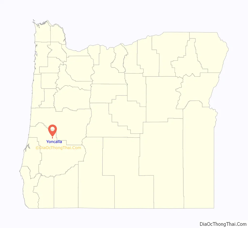
| State: | Oregon |
| County: | Douglas County |
| Incorporated: | February 27, 1901 |
| Elevation: | 390 ft (120 m) |
| Total Area: | 0.68 sq mi (1.76 km²) |
| Land Area: | 0.67 sq mi (1.74 km²) |
| Water Area: | 0.01 sq mi (0.02 km²) |
| Total Population: | 1,021 |
| Population Density: | 1,519.35/sq mi (586.83/km²) |
| ZIP code: | 97499 |
| Area code: | 541 |
| FIPS code: | 4184600 |
| GNISfeature ID: | 2412320 |
| Website: | www.cityofyoncalla.com |
Online Interactive Map
Click on ![]() to view map in "full screen" mode.
to view map in "full screen" mode.
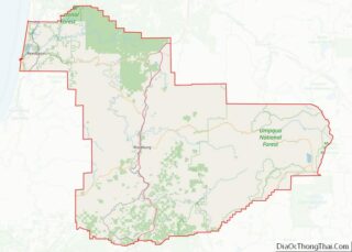
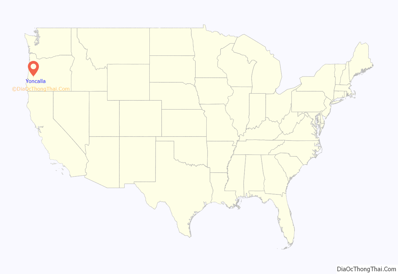
Yoncalla location map. Where is Yoncalla city?
History
Settlers first came to the area that would become Yoncalla in a covered wagon in the fall of 1848. Jesse Applegate arrived in 1849, and named the area after the Yoncalla-speaking Native Americans of the region.
In 1920 Yoncalla received attention for electing a female mayor and an all-female city council. Nearly a century later, in 2018, it elected 18-year old Ben Simons mayor.
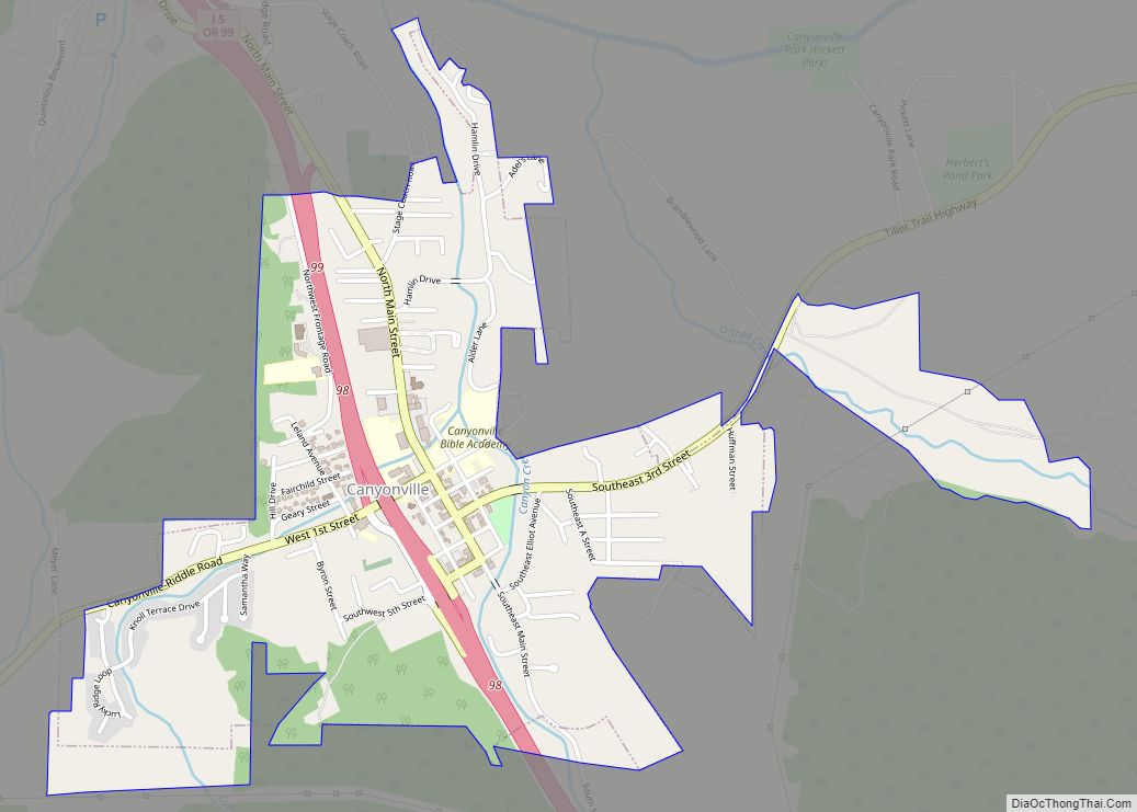
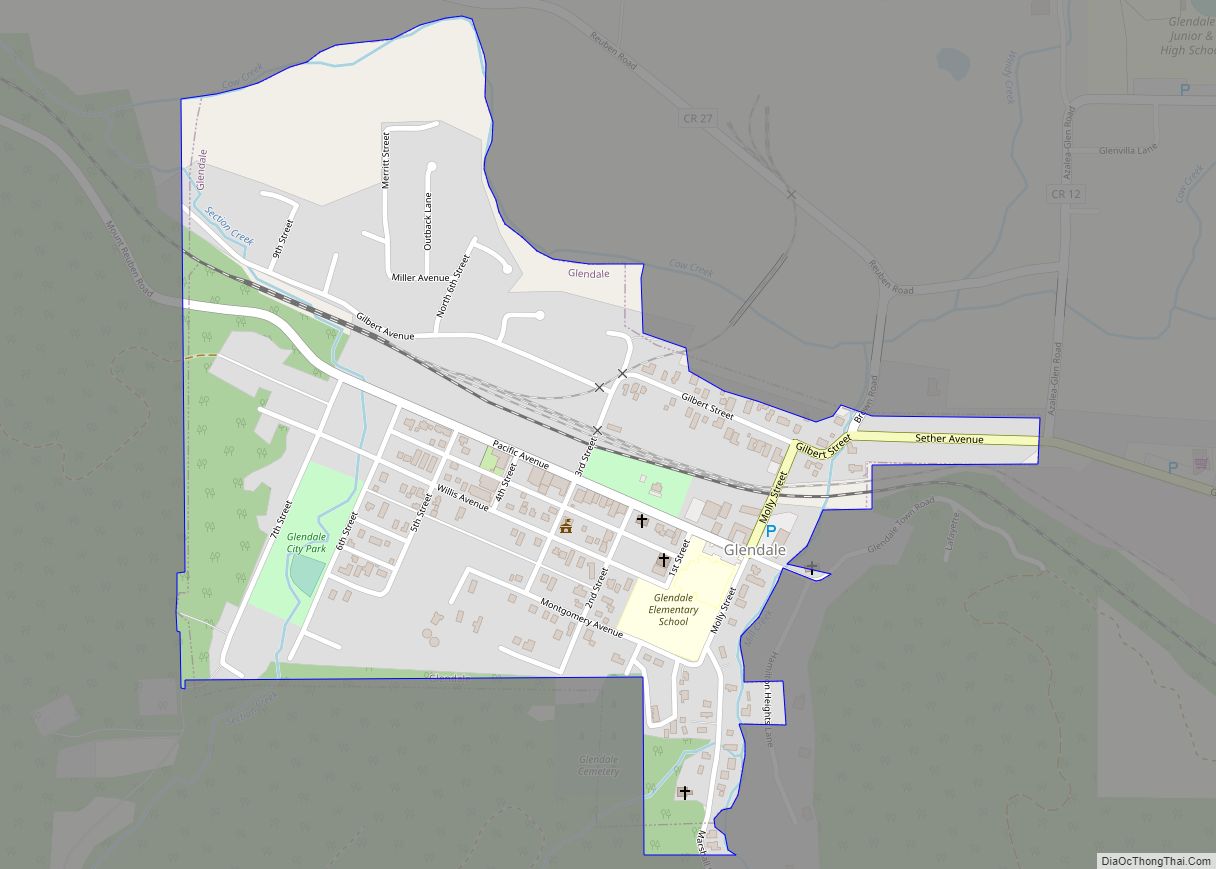
Yoncalla Road Map
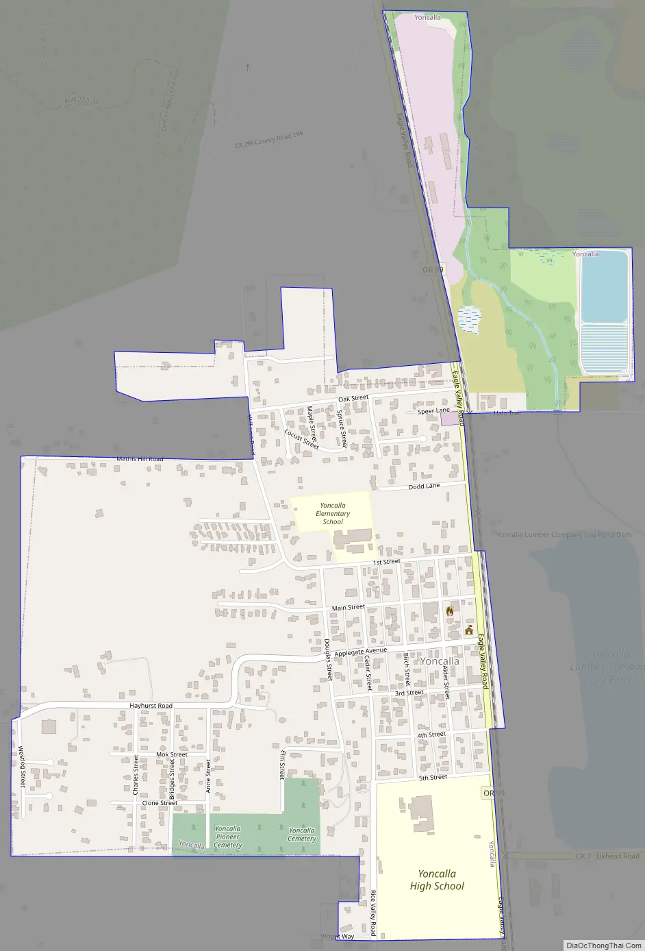
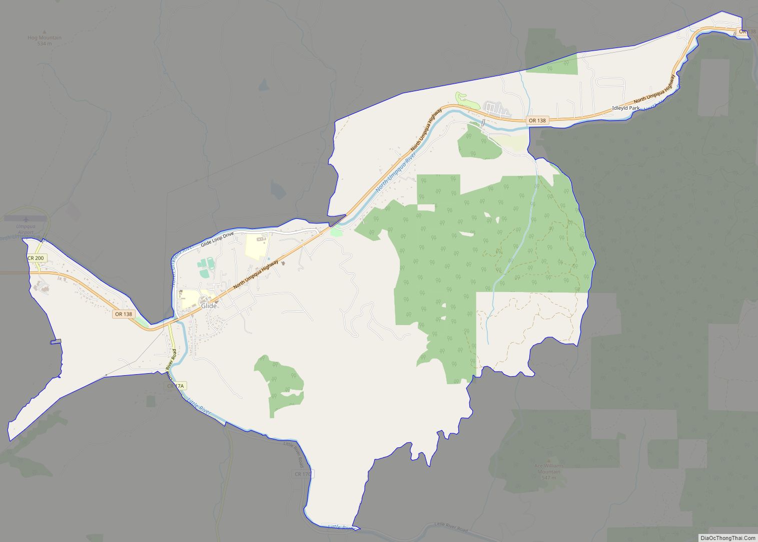
Yoncalla city Satellite Map

Geography
According to the United States Census Bureau, the city has a total area of 0.68 square miles (1.76 km), of which, 0.67 square miles (1.74 km) is land and 0.01 square miles (0.03 km) is water.
See also
Map of Oregon State and its subdivision: Map of other states:- Alabama
- Alaska
- Arizona
- Arkansas
- California
- Colorado
- Connecticut
- Delaware
- District of Columbia
- Florida
- Georgia
- Hawaii
- Idaho
- Illinois
- Indiana
- Iowa
- Kansas
- Kentucky
- Louisiana
- Maine
- Maryland
- Massachusetts
- Michigan
- Minnesota
- Mississippi
- Missouri
- Montana
- Nebraska
- Nevada
- New Hampshire
- New Jersey
- New Mexico
- New York
- North Carolina
- North Dakota
- Ohio
- Oklahoma
- Oregon
- Pennsylvania
- Rhode Island
- South Carolina
- South Dakota
- Tennessee
- Texas
- Utah
- Vermont
- Virginia
- Washington
- West Virginia
- Wisconsin
- Wyoming