Winnsboro is a town in Fairfield County, South Carolina, United States. The population was 3,550 at the 2010 census. The population was 3,215 at the 2020 census. A population decrease of approximately 9.5% for the same 10 year period. It is the county seat of Fairfield County. Winnsboro is part of the Columbia, South Carolina metropolitan Area. Winnsboro is a suburb of a Columbia, South Carolina.
| Name: | Winnsboro town |
|---|---|
| LSAD Code: | 43 |
| LSAD Description: | town (suffix) |
| State: | South Carolina |
| County: | Fairfield County |
| Elevation: | 535 ft (163 m) |
| Total Area: | 3.52 sq mi (9.13 km²) |
| Land Area: | 3.52 sq mi (9.13 km²) |
| Water Area: | 0.00 sq mi (0.00 km²) |
| Total Population: | 3,215 |
| Population Density: | 912.32/sq mi (352.23/km²) |
| ZIP code: | 29180 |
| Area code: | 803, 839 |
| FIPS code: | 4578460 |
| GNISfeature ID: | 1251474 |
| Website: | www.townofwinnsboro.com |
Online Interactive Map
Click on ![]() to view map in "full screen" mode.
to view map in "full screen" mode.
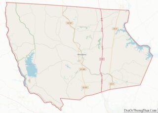
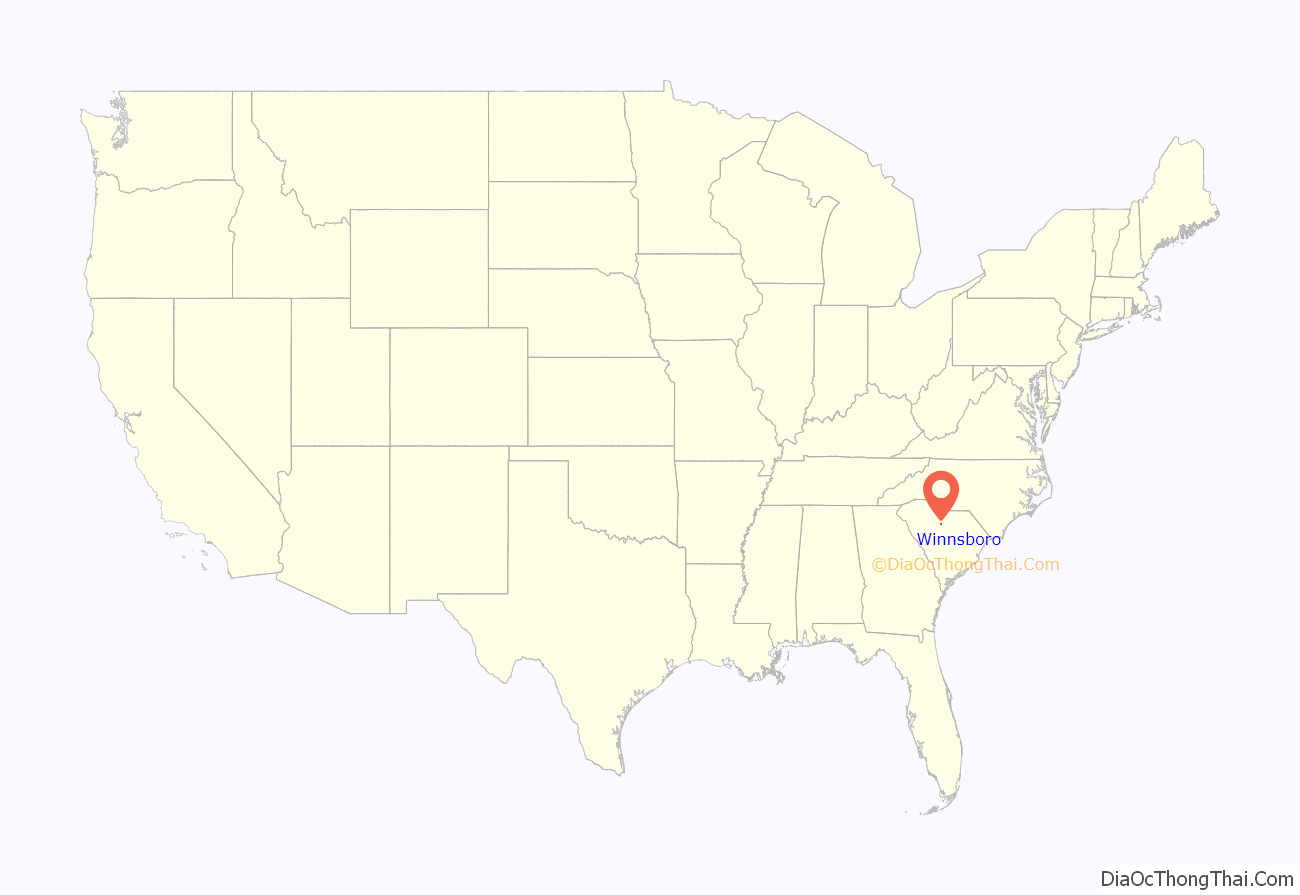
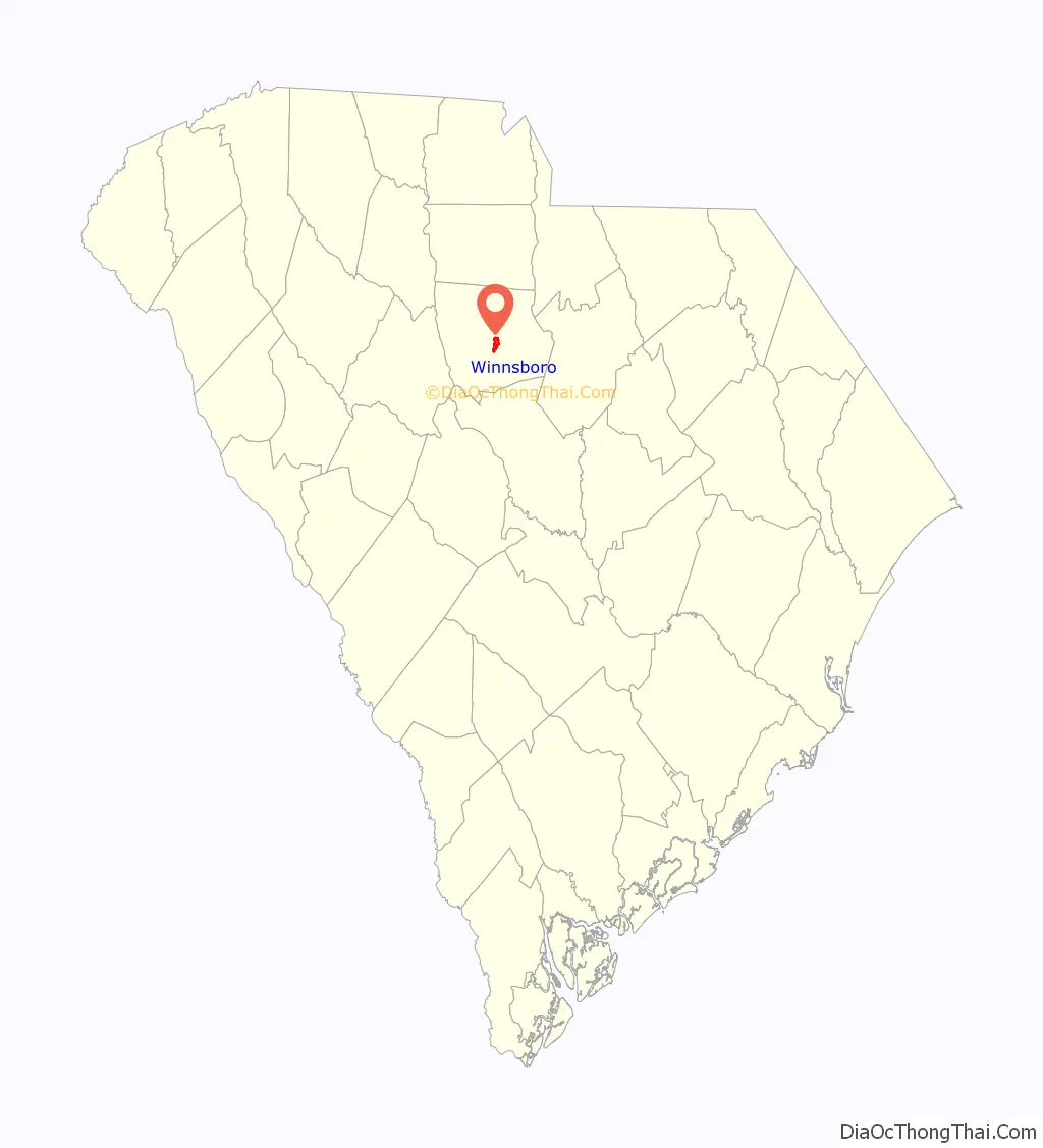
Winnsboro location map. Where is Winnsboro town?
History
Based on archeological evidence, this area of the Piedmont was occupied by various cultures of indigenous peoples from as early as the Archaic period, about 1500 BC. Blair Mound is a nearby archeological site and earthwork likely occupied 1300-1400 AD, as part of the late Mississippian culture in the region.
Several years before the Revolutionary War, Richard Winn from Virginia moved to what is now Fairfield County in the upland or Piedmont area of South Carolina. His lands included the present site of Winnsboro. As early as 1777, the settlement was known as “Winnsborough” since he was the major landowner. His brothers John and Minor Winn joined him there, adding to family founders.
The village was laid out and chartered in 1785 upon petition of Richard and John Winn, and John Vanderhorst. The brothers Richard, John and Minor Winn all served in the Revolutionary War. Richard became a general, and was said to have fought in more battles than any Whig in South Carolina. John gained the rank of colonel. See Fairfield County, South Carolina, for more.
The area was developed for the cultivation of short-staple cotton after Eli Whitney’s invention of the cotton gin in 1793, which made processing of this type of cotton profitable. Previously it was considered too labor-intensive. Short-staple cotton was widely cultivated on plantations in upland areas throughout the Deep South, through an interior area that became known as the Black Belt. The increased demand for slave labor resulted in the forced migration of more than one million African-American slaves into the area through sales in the domestic slave market. By the time of the Civil War, the county’s population was majority black and majority slave.
Textile mills were constructed in the area beginning in the late 19th century, and originally only whites were allowed to work in the mills. “Winnsboro Cotton Mill Blues”, an industrial folk song of the 1930s with lyrics typical of the blues, refers to working in a cotton mill in this city. The song arose after the textile mill had been converted to a tire manufacturing plant, reflecting the widespread expansion of the auto industry. The song has been sung by Lead Belly, Pete Seeger, and other artists. It was the basis of one of the ballads by modernist composer/pianist Frederic Rzewski in his Four North American Ballads for solo piano, completed in 1979.
Places listed on the National Register of Historic Places for Winnsboro range from an Archaic period archeological site, to structures and districts spanning the European-American/African-American history of the city, as in the following list: Albion, Balwearie, Blair Mound, Dr. Walter Brice House and Office, Concord Presbyterian Church, Furman Institution Faculty Residence, Hunstanton, Ketchin Building, Bob Lemmon House, Liberty Universalist Church and Feasterville Academy Historic District, McMeekin Rock Shelter, Mount Olivet Presbyterian Church, New Hope A.R.P. Church and Session House, Old Stone House, Rockton and Rion Railroad Historic District, Rural Point, Shivar Springs Bottling Company Cisterns, The Oaks, Tocaland, White Oak Historic District, and the Winnsboro Historic District. Though not listed on the National Register of Historic Places, the Winnsboro Town Clock built in 1837 is the oldest continuously running clock in the United States.
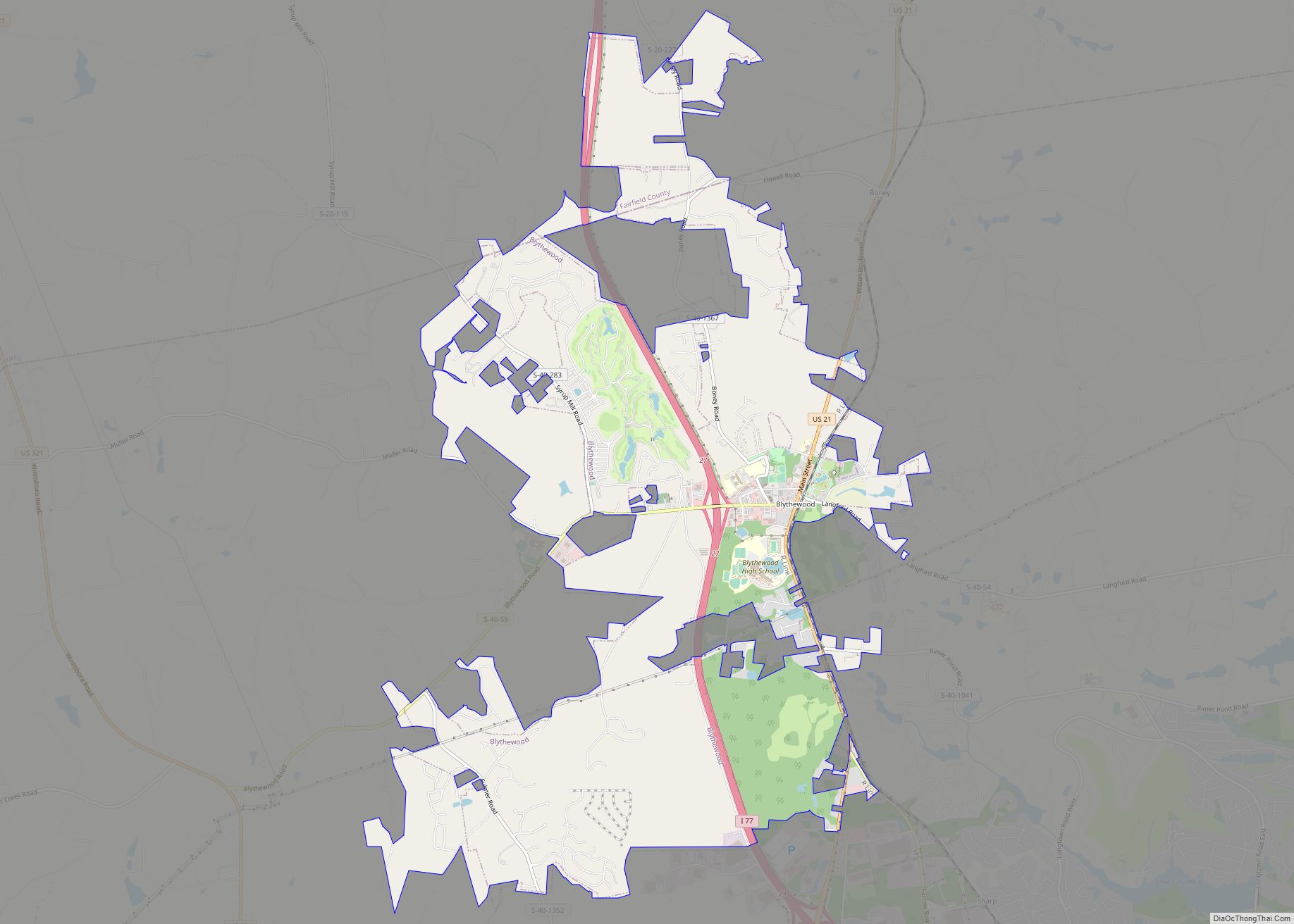
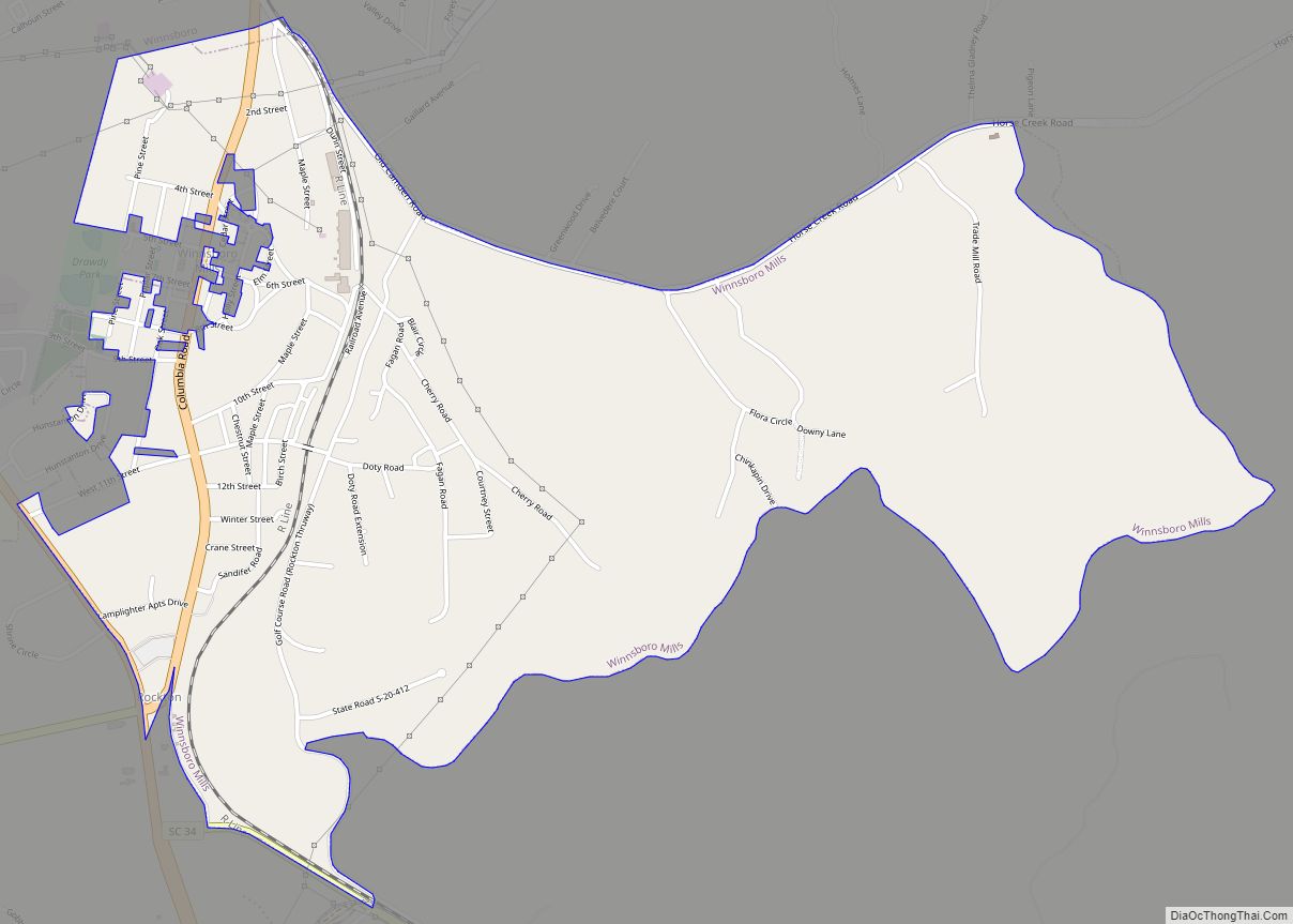
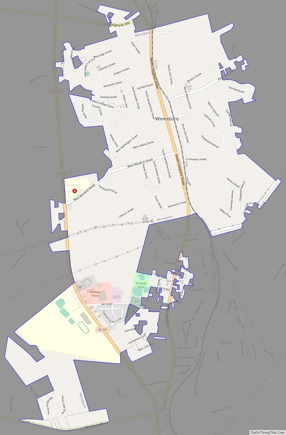
Winnsboro Road Map
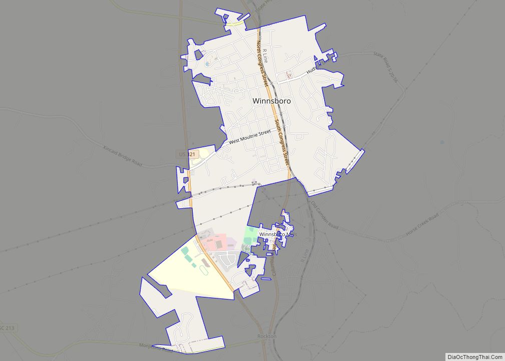
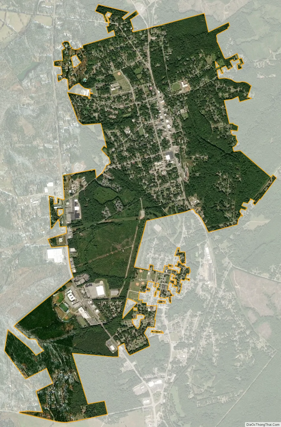
Winnsboro city Satellite Map
Geography
Winnsboro is located east of the center of Fairfield County at 34°22′37″N 81°5′17″W / 34.37694°N 81.08806°W / 34.37694; -81.08806 (34.377069, -81.087959). U.S. Route 321 and South Carolina Highway 34 bypass the town on the west side. US 321 Business passes through the center of town on Congress Street. US 321 leads north 25 miles (40 km) to Chester and south 28 miles (45 km) to Columbia. SC 34 leads southeast 11 miles (18 km) to Ridgeway and west 36 miles (58 km) to Newberry. SC 200 leads northeast 19 miles (31 km) to Great Falls. The unincorporated community of Winnsboro Mills borders the south side of Winnsboro.
According to the United States Census Bureau, the town of Winnsboro has a total area of 3.2 square miles (8.4 km), all land.
See also
Map of South Carolina State and its subdivision:- Abbeville
- Aiken
- Allendale
- Anderson
- Bamberg
- Barnwell
- Beaufort
- Berkeley
- Calhoun
- Charleston
- Cherokee
- Chester
- Chesterfield
- Clarendon
- Colleton
- Darlington
- Dillon
- Dorchester
- Edgefield
- Fairfield
- Florence
- Georgetown
- Greenville
- Greenwood
- Hampton
- Horry
- Jasper
- Kershaw
- Lancaster
- Laurens
- Lee
- Lexington
- Marion
- Marlboro
- McCormick
- Newberry
- Oconee
- Orangeburg
- Pickens
- Richland
- Saluda
- Spartanburg
- Sumter
- Union
- Williamsburg
- York
- Alabama
- Alaska
- Arizona
- Arkansas
- California
- Colorado
- Connecticut
- Delaware
- District of Columbia
- Florida
- Georgia
- Hawaii
- Idaho
- Illinois
- Indiana
- Iowa
- Kansas
- Kentucky
- Louisiana
- Maine
- Maryland
- Massachusetts
- Michigan
- Minnesota
- Mississippi
- Missouri
- Montana
- Nebraska
- Nevada
- New Hampshire
- New Jersey
- New Mexico
- New York
- North Carolina
- North Dakota
- Ohio
- Oklahoma
- Oregon
- Pennsylvania
- Rhode Island
- South Carolina
- South Dakota
- Tennessee
- Texas
- Utah
- Vermont
- Virginia
- Washington
- West Virginia
- Wisconsin
- Wyoming