Winnsboro Mills is an unincorporated community and census-designated place (CDP) in Fairfield County, South Carolina, United States. The population was 1,898 at the 2010 census, down from 2,263 at the 2000 census. It is part of the Columbia, South Carolina Metropolitan Statistical Area.
| Name: | Winnsboro Mills CDP |
|---|---|
| LSAD Code: | 57 |
| LSAD Description: | CDP (suffix) |
| State: | South Carolina |
| County: | Fairfield County |
| Elevation: | 561 ft (171 m) |
| Total Area: | 2.57 sq mi (6.66 km²) |
| Land Area: | 2.57 sq mi (6.66 km²) |
| Water Area: | 0.00 sq mi (0.00 km²) |
| Total Population: | 1,632 |
| Population Density: | 634.77/sq mi (245.06/km²) |
| ZIP code: | 29180 |
| Area code: | 803 and 839 |
| FIPS code: | 4578505 |
| GNISfeature ID: | 1231932 |
Online Interactive Map
Click on ![]() to view map in "full screen" mode.
to view map in "full screen" mode.
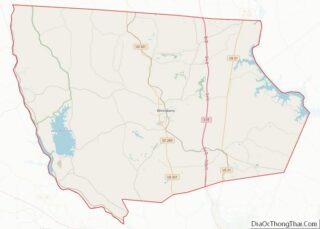
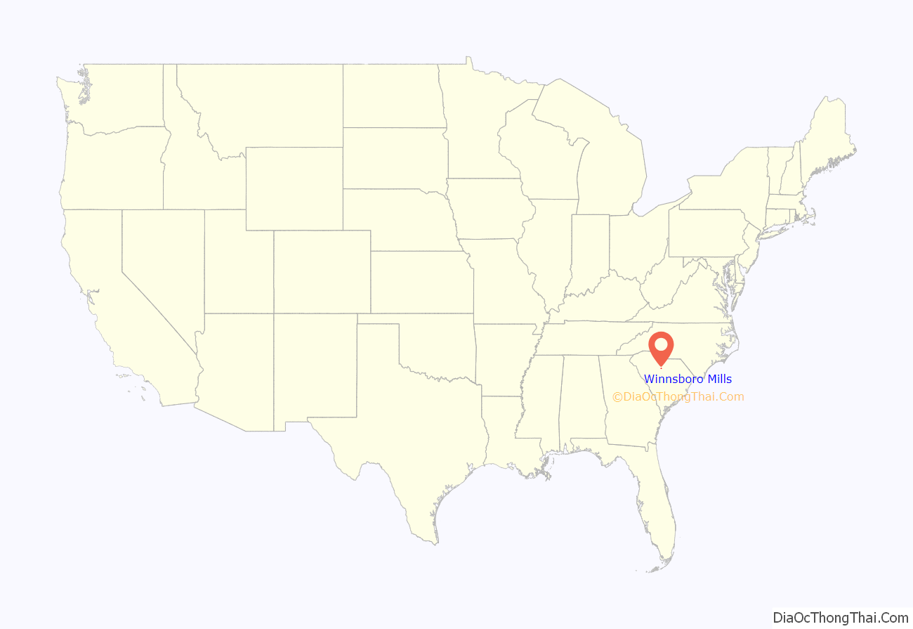
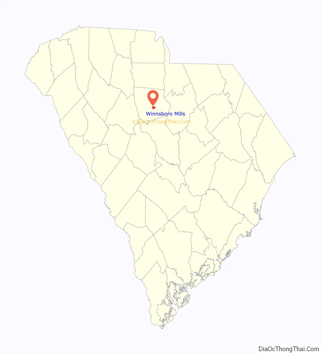
Winnsboro Mills location map. Where is Winnsboro Mills CDP?
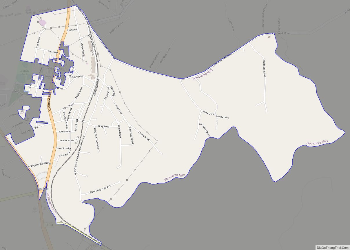
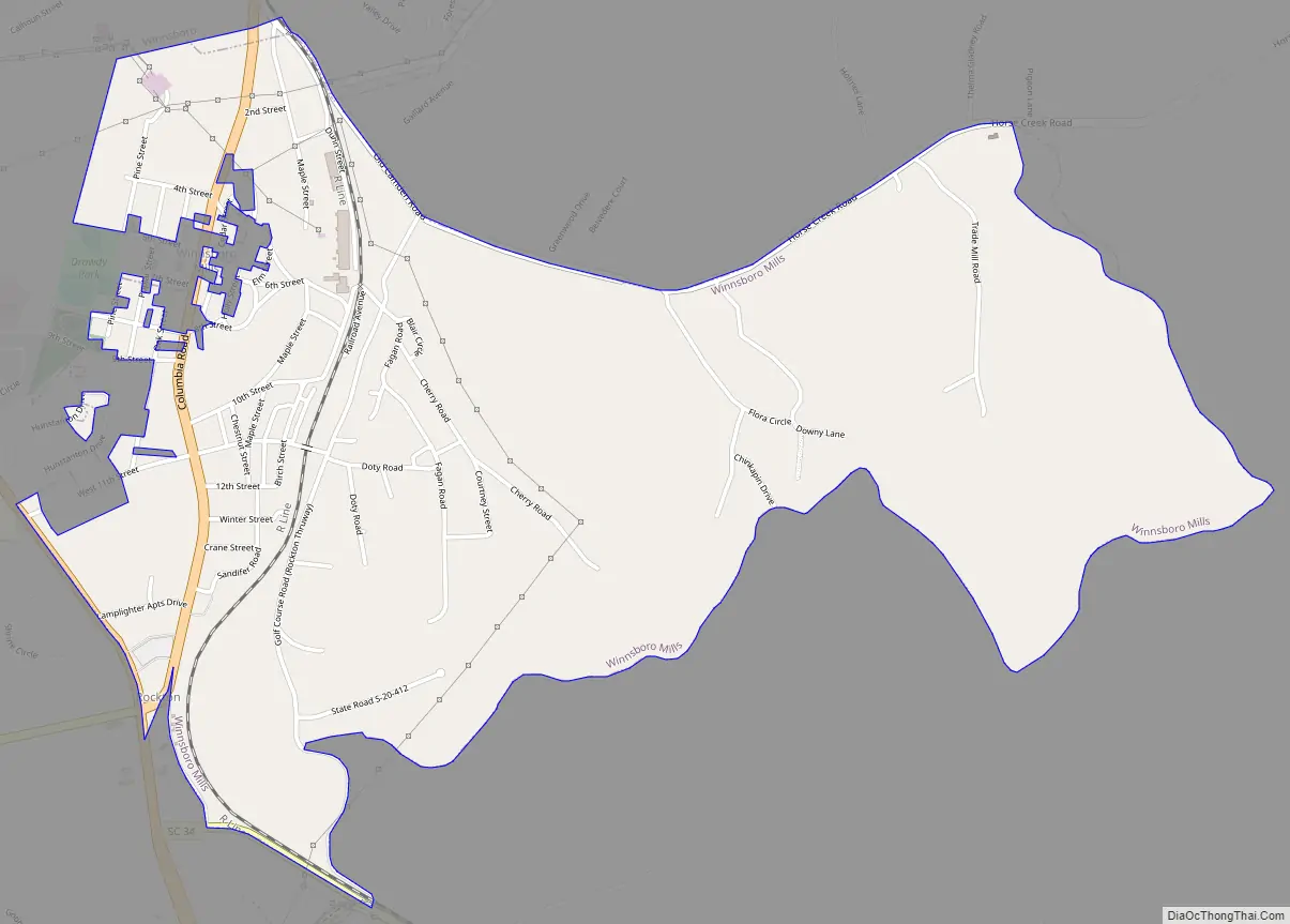
Winnsboro Mills Road Map
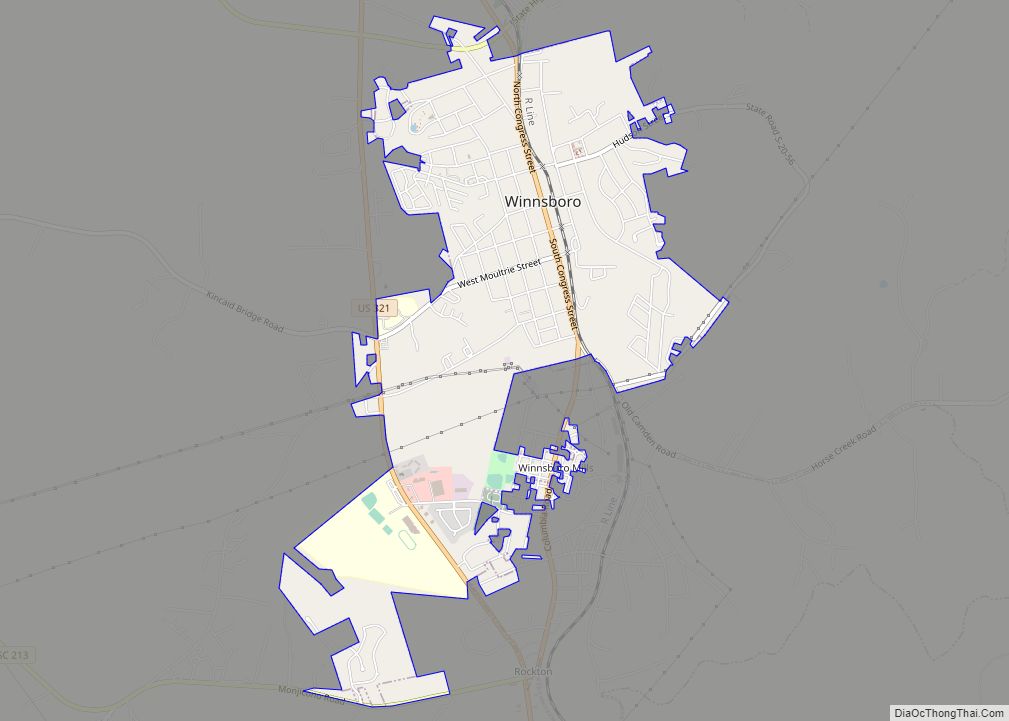
Winnsboro Mills city Satellite Map

Geography
Winnsboro Mills is located southeast of the center of Fairfield County at 34°21′24″N 81°4′58″W / 34.35667°N 81.08278°W / 34.35667; -81.08278 (34.356734, -81.082834). It is bordered to the north by the town of Winnsboro, the county seat. U.S. Route 321 Business (Columbia Road) is the main road through the community.
According to the United States Census Bureau, the CDP has a total area of 2.6 square miles (6.8 km), all of it land.
See also
Map of South Carolina State and its subdivision:- Abbeville
- Aiken
- Allendale
- Anderson
- Bamberg
- Barnwell
- Beaufort
- Berkeley
- Calhoun
- Charleston
- Cherokee
- Chester
- Chesterfield
- Clarendon
- Colleton
- Darlington
- Dillon
- Dorchester
- Edgefield
- Fairfield
- Florence
- Georgetown
- Greenville
- Greenwood
- Hampton
- Horry
- Jasper
- Kershaw
- Lancaster
- Laurens
- Lee
- Lexington
- Marion
- Marlboro
- McCormick
- Newberry
- Oconee
- Orangeburg
- Pickens
- Richland
- Saluda
- Spartanburg
- Sumter
- Union
- Williamsburg
- York
- Alabama
- Alaska
- Arizona
- Arkansas
- California
- Colorado
- Connecticut
- Delaware
- District of Columbia
- Florida
- Georgia
- Hawaii
- Idaho
- Illinois
- Indiana
- Iowa
- Kansas
- Kentucky
- Louisiana
- Maine
- Maryland
- Massachusetts
- Michigan
- Minnesota
- Mississippi
- Missouri
- Montana
- Nebraska
- Nevada
- New Hampshire
- New Jersey
- New Mexico
- New York
- North Carolina
- North Dakota
- Ohio
- Oklahoma
- Oregon
- Pennsylvania
- Rhode Island
- South Carolina
- South Dakota
- Tennessee
- Texas
- Utah
- Vermont
- Virginia
- Washington
- West Virginia
- Wisconsin
- Wyoming