Veyo is a census-designated place in western Washington County, Utah, United States, on the edge of the Dixie National Forest. The population was 483 at the 2010 census. The town lies along State Route 18 north of the city of St. George.
| Name: | Veyo CDP |
|---|---|
| LSAD Code: | 57 |
| LSAD Description: | CDP (suffix) |
| State: | Utah |
| County: | Washington County |
| Elevation: | 4,472 ft (1,363 m) |
| Total Area: | 483 |
| ZIP code: | 84782 |
| Area code: | 435 |
| FIPS code: | 4980310 |
| GNISfeature ID: | 2629956 |
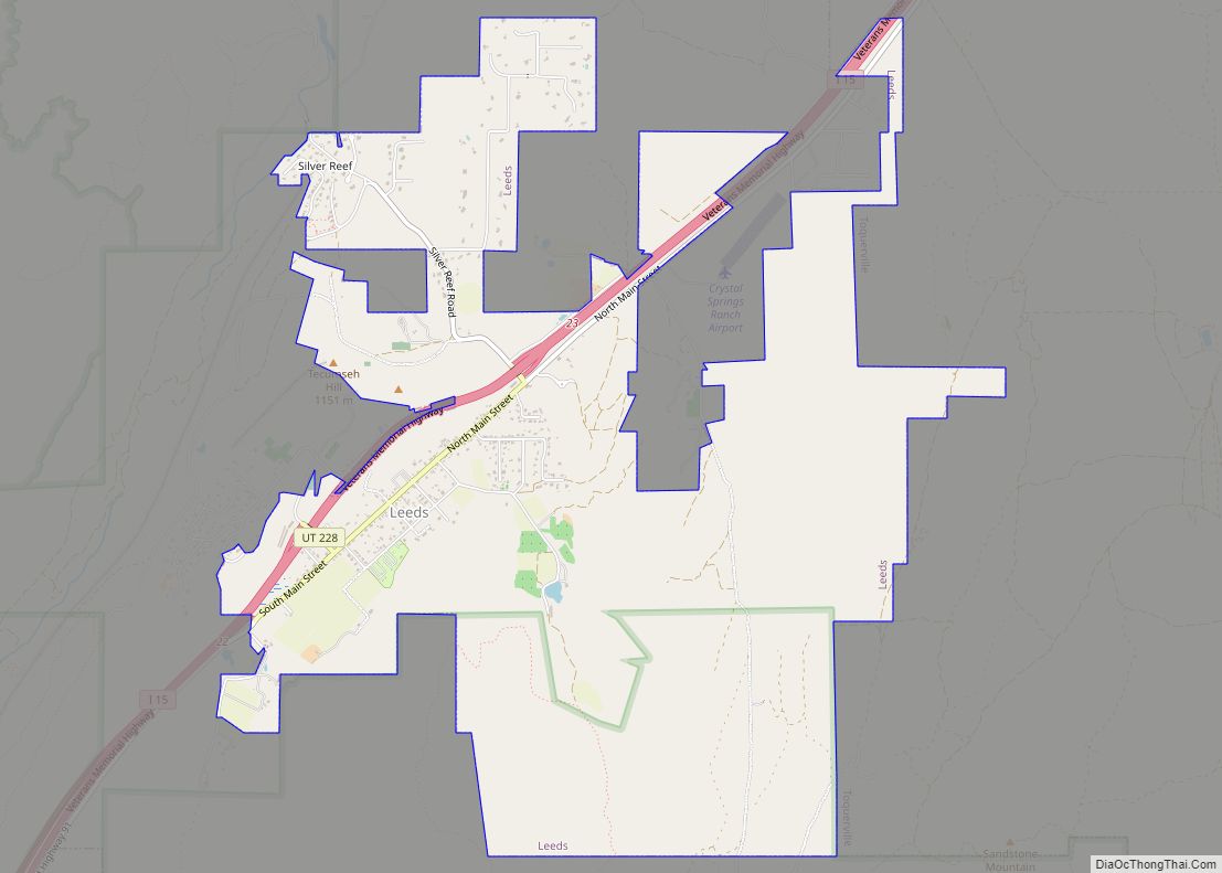
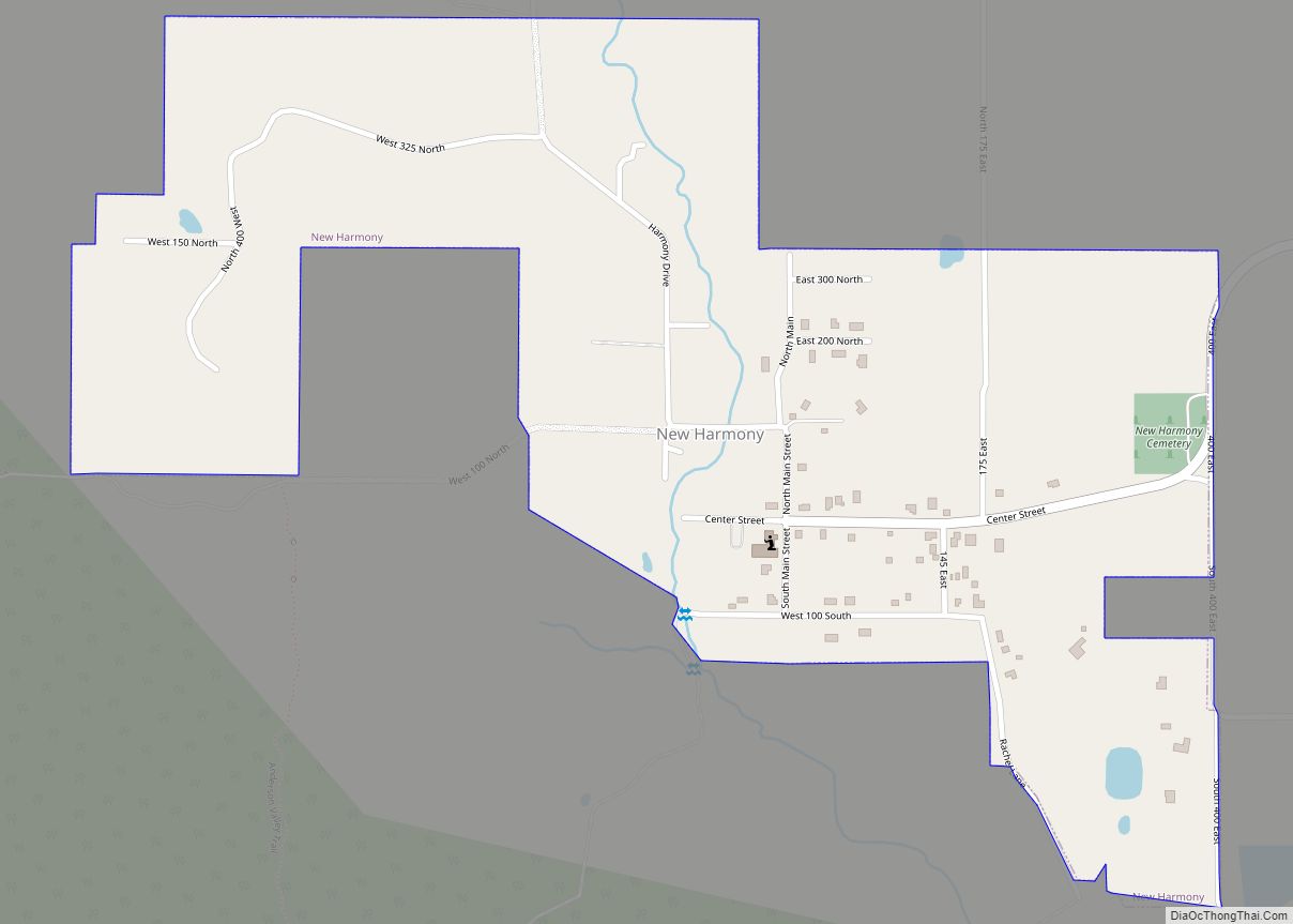
Online Interactive Map
Click on ![]() to view map in "full screen" mode.
to view map in "full screen" mode.
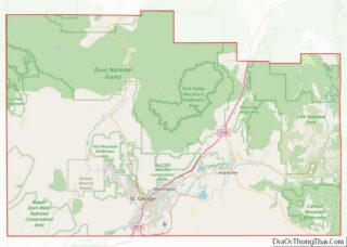
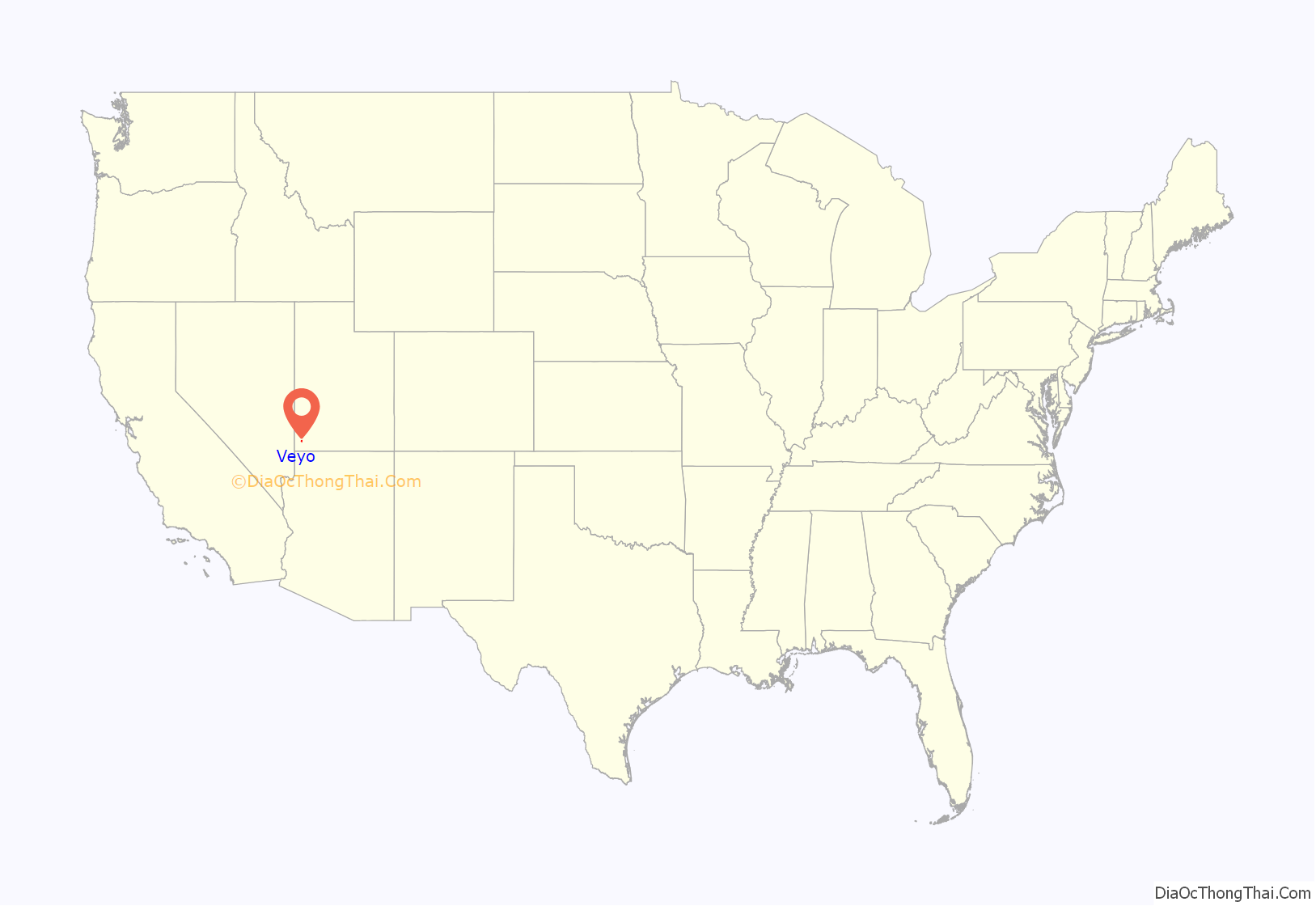
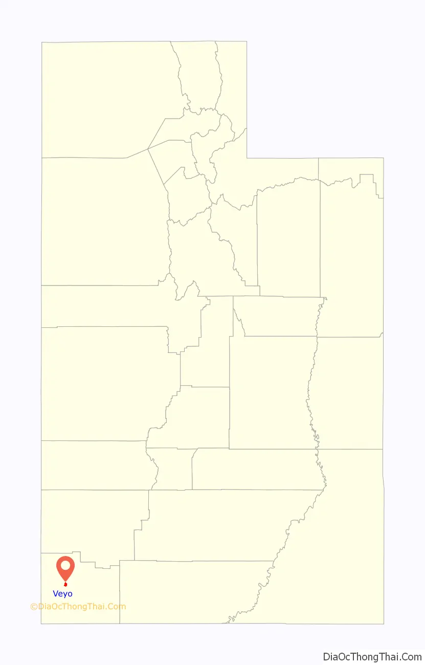
Veyo location map. Where is Veyo CDP?
History
Veyo became a distinct community from Gunlock in 1918. One tradition says the community name is an acronym of virtue, enterprise, youth, and order; another says it combines verdure and youth. There is a town of Veyo in Spain that is also referred to as La Peña, which means “rocky outcrop”.
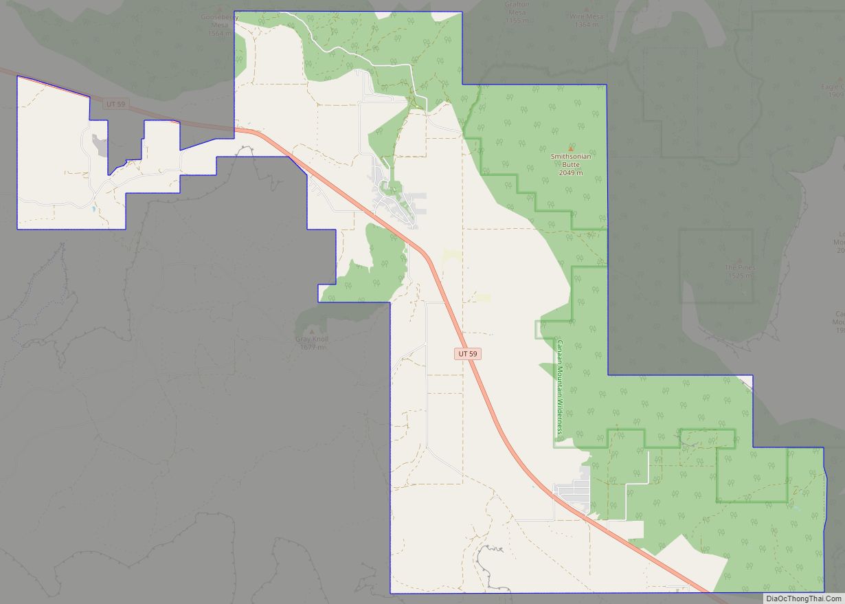
Veyo Road Map

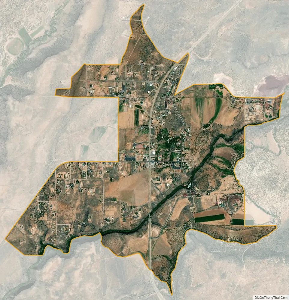
Veyo city Satellite Map
Geography
The elevation of Veyo is 4,485 feet (1,367 m).
Climate
According to the Köppen Climate Classification system, Veyo has a semi-arid climate, abbreviated “BSk” on climate maps.
See also
Map of Utah State and its subdivision: Map of other states:- Alabama
- Alaska
- Arizona
- Arkansas
- California
- Colorado
- Connecticut
- Delaware
- District of Columbia
- Florida
- Georgia
- Hawaii
- Idaho
- Illinois
- Indiana
- Iowa
- Kansas
- Kentucky
- Louisiana
- Maine
- Maryland
- Massachusetts
- Michigan
- Minnesota
- Mississippi
- Missouri
- Montana
- Nebraska
- Nevada
- New Hampshire
- New Jersey
- New Mexico
- New York
- North Carolina
- North Dakota
- Ohio
- Oklahoma
- Oregon
- Pennsylvania
- Rhode Island
- South Carolina
- South Dakota
- Tennessee
- Texas
- Utah
- Vermont
- Virginia
- Washington
- West Virginia
- Wisconsin
- Wyoming