Clinton is a city in Davis County, Utah, United States. It is part of the Ogden–Clearfield, Utah Metropolitan Statistical Area. The population was 23,386 at the 2020 United States census, up from 20,426 in 2010 census. Clinton started off as a sleepy farm town and grew rapidly during the 1990s and continues to experience rapid growth, with an estimated population of 23,597 in 2021.
| Name: | Clinton city |
|---|---|
| LSAD Code: | 25 |
| LSAD Description: | city (suffix) |
| State: | Utah |
| County: | Davis County |
| Incorporated: | 1936 |
| Elevation: | 4,393 ft (1,339 m) |
| Total Area: | 5.93 sq mi (15.37 km²) |
| Land Area: | 5.93 sq mi (15.36 km²) |
| Water Area: | 0.00 sq mi (0.00 km²) |
| Total Population: | 23,360 |
| Population Density: | 3,939.29/sq mi (1,520.83/km²) |
| Area code: | 385, 801 |
| FIPS code: | 4914290 |
| GNISfeature ID: | 1426725 |
| Website: | clintoncity.net |
Online Interactive Map
Click on ![]() to view map in "full screen" mode.
to view map in "full screen" mode.
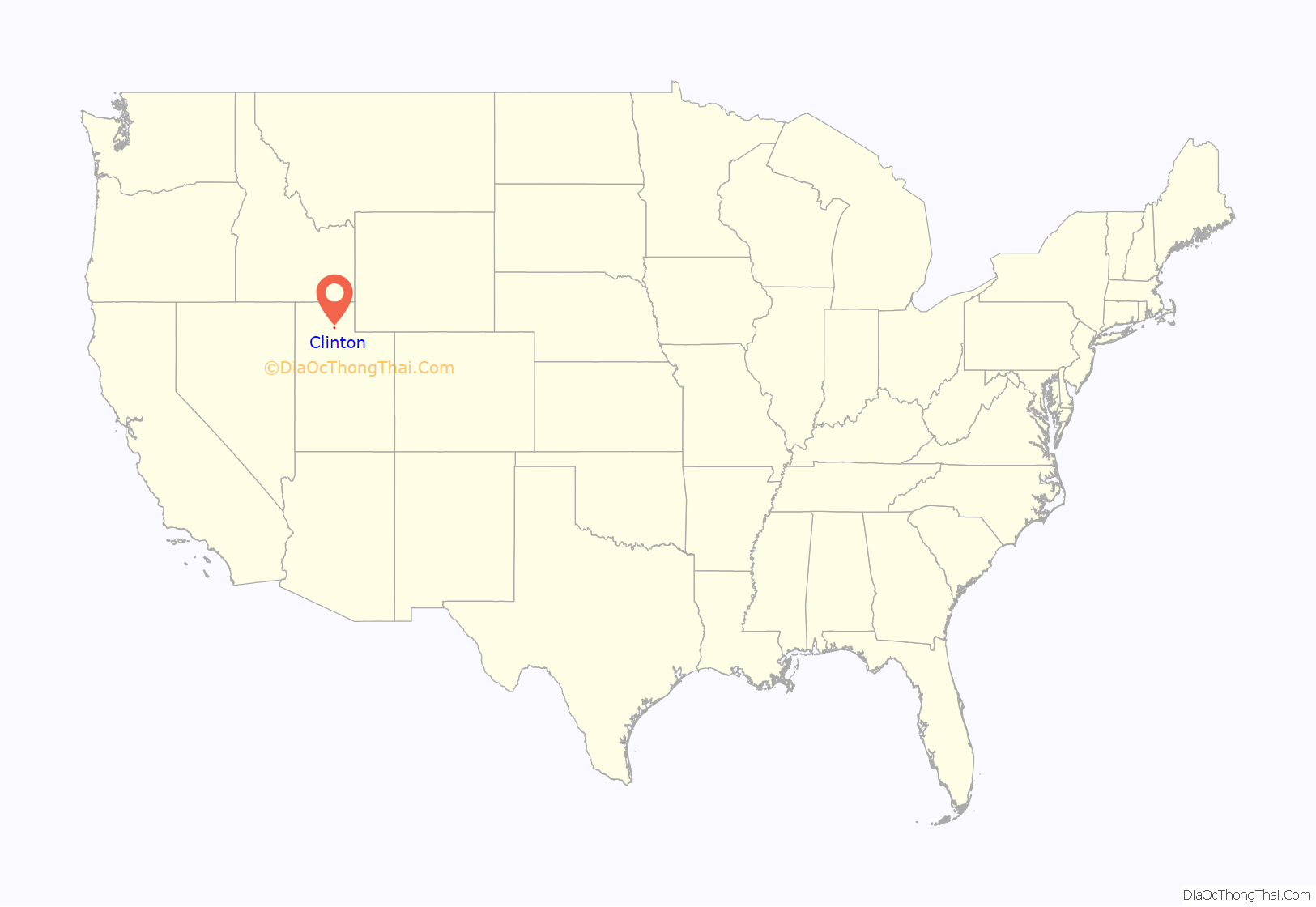
Clinton location map. Where is Clinton city?
History
Dry farming began in the area of Clinton in 1879. By 1881 there was a railroad station. In 1884 the Summit Basin Branch of the Church of Jesus Christ of Latter-day Saints was organized in Clinton.
A ward was organized in Clinton in May 1897, which was named Clinton.
Clinton Road Map
Clinton city Satellite Map
Geography
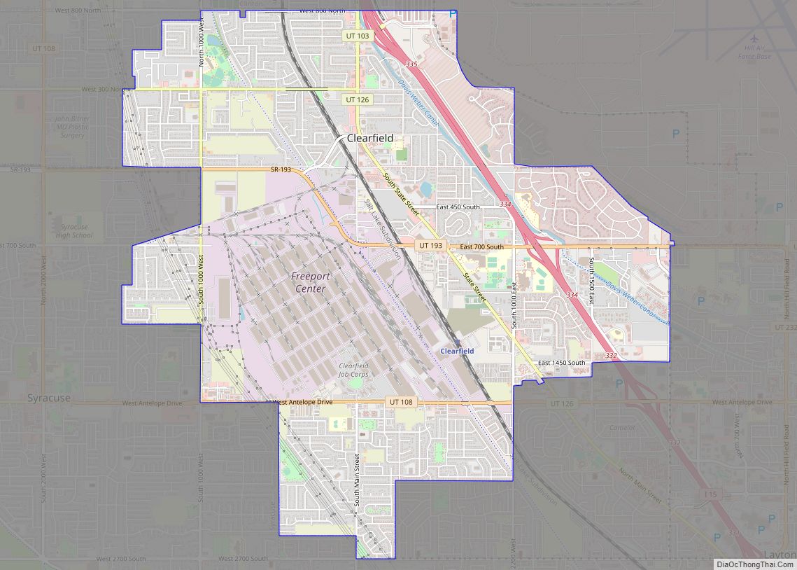
Clinton is located in northern Davis County, bordered by Sunset to the east, Clearfield to the southeast, and West Point to the southwest. The northern border of Clinton is the Weber County line, with the city of Hooper to the northwest and Roy to the north and northeast. According to the United States Census Bureau, Clinton has a total area of 5.8 square miles (15.1 km), all land.
See also
Map of Utah State and its subdivision: Map of other states:- Alabama
- Alaska
- Arizona
- Arkansas
- California
- Colorado
- Connecticut
- Delaware
- District of Columbia
- Florida
- Georgia
- Hawaii
- Idaho
- Illinois
- Indiana
- Iowa
- Kansas
- Kentucky
- Louisiana
- Maine
- Maryland
- Massachusetts
- Michigan
- Minnesota
- Mississippi
- Missouri
- Montana
- Nebraska
- Nevada
- New Hampshire
- New Jersey
- New Mexico
- New York
- North Carolina
- North Dakota
- Ohio
- Oklahoma
- Oregon
- Pennsylvania
- Rhode Island
- South Carolina
- South Dakota
- Tennessee
- Texas
- Utah
- Vermont
- Virginia
- Washington
- West Virginia
- Wisconsin
- Wyoming
