Lynndyl is a town in Millard County, Utah, United States. The population was 106 at the 2010 census.
| Name: | Lynndyl town |
|---|---|
| LSAD Code: | 43 |
| LSAD Description: | town (suffix) |
| State: | Utah |
| County: | Millard County |
| Founded: | 1907 |
| Incorporated: | 1945 |
| Elevation: | 4,787 ft (1,459 m) |
| Total Area: | 3.12 sq mi (8.08 km²) |
| Land Area: | 3.12 sq mi (8.08 km²) |
| Water Area: | 0.00 sq mi (0.00 km²) |
| Total Population: | 106 |
| Population Density: | 37.50/sq mi (14.48/km²) |
| ZIP code: | 84640 |
| Area code: | 435 |
| FIPS code: | 4946740 |
| GNISfeature ID: | 1430025 |
| Website: | lynndyl.utah.gov |
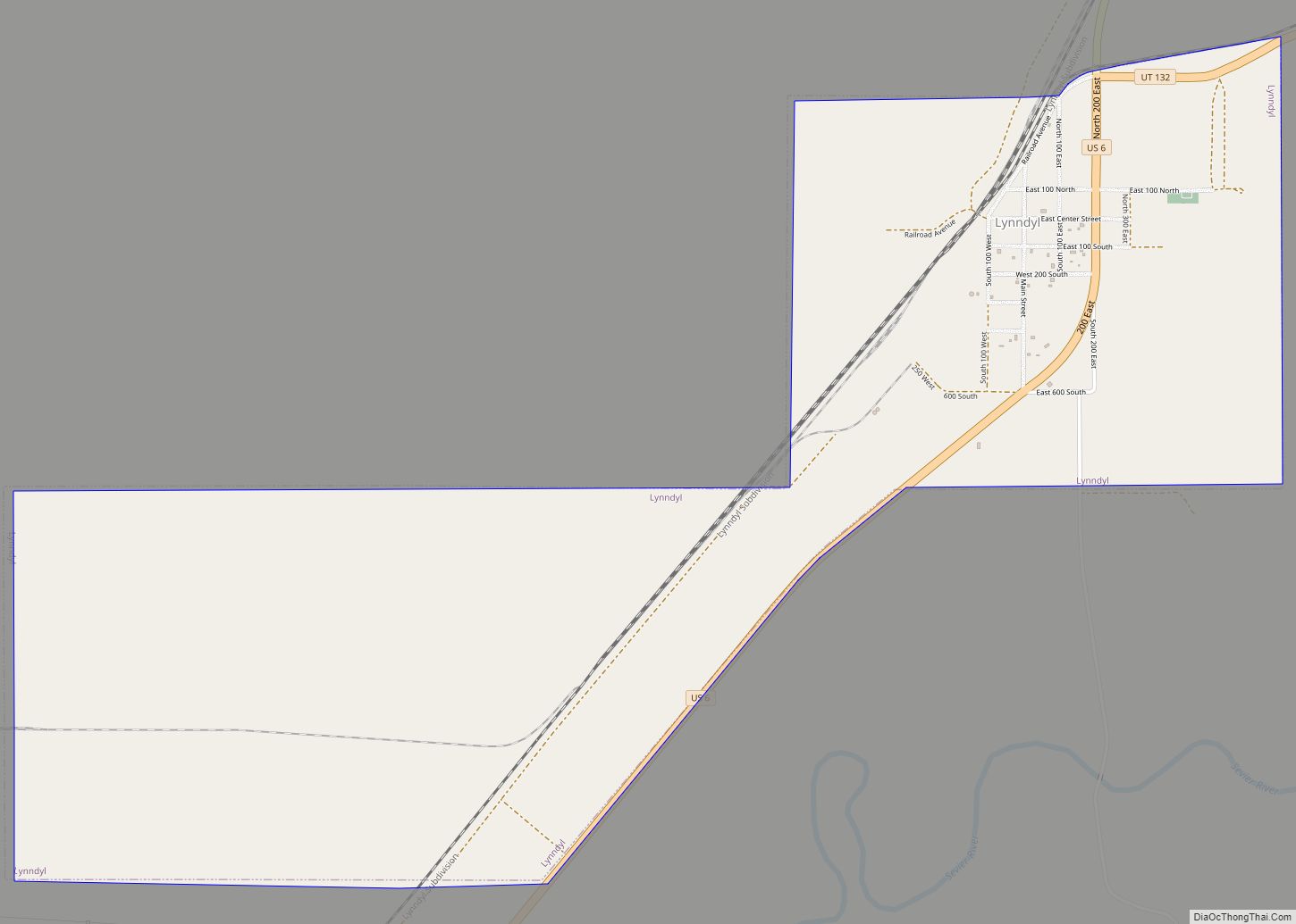
Online Interactive Map
Click on ![]() to view map in "full screen" mode.
to view map in "full screen" mode.
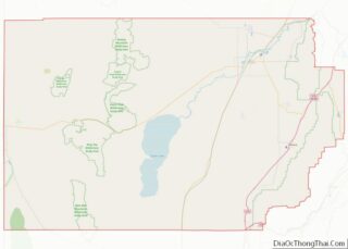
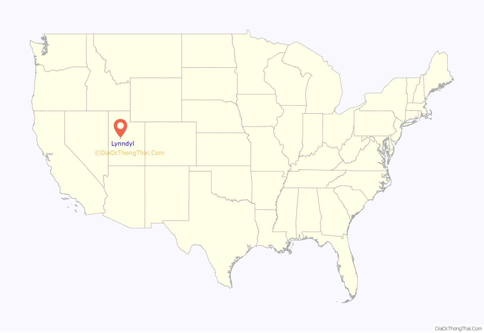
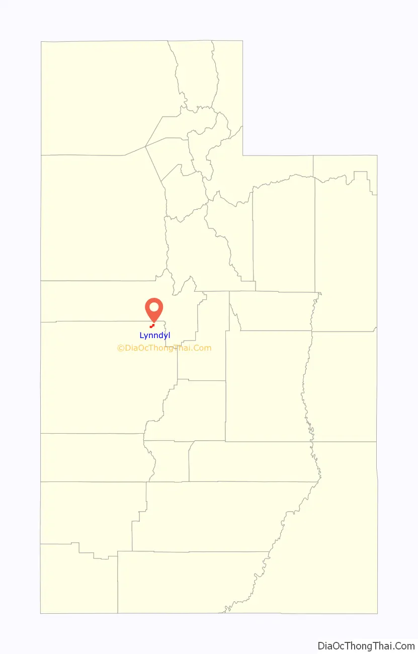
Lynndyl location map. Where is Lynndyl town?
History
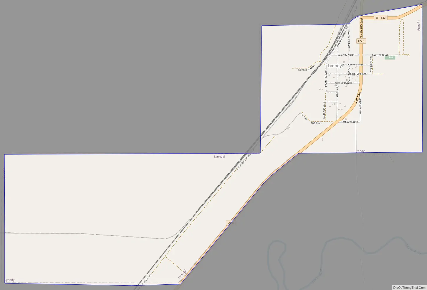
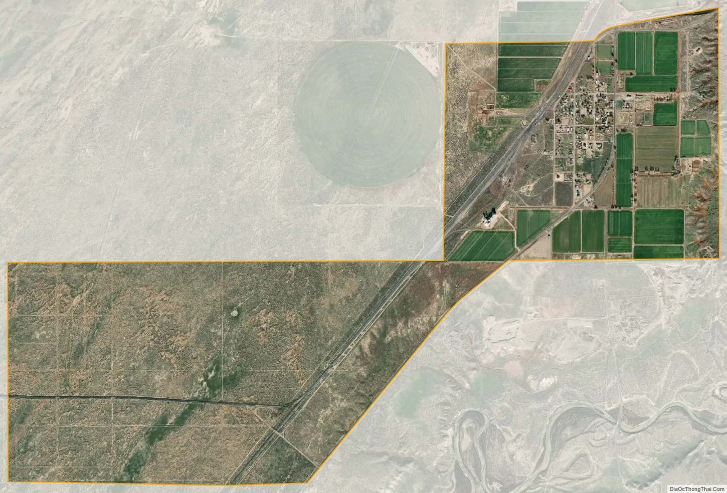
Lynndyl began as a railroad town in 1907. Farming in the area did not begin until 1912. Major rail lines have passed through Lynndyl since its founding. For many years it was the location of a fork in the Los Angeles and Salt Lake Railroad where one branch proceeded to Provo via Nephi and Santaquin and the other to Salt Lake City via Tooele. Today Lynndyl lends its name to the junction of the Lynndyl Subdivision and Sharp Subdivision.
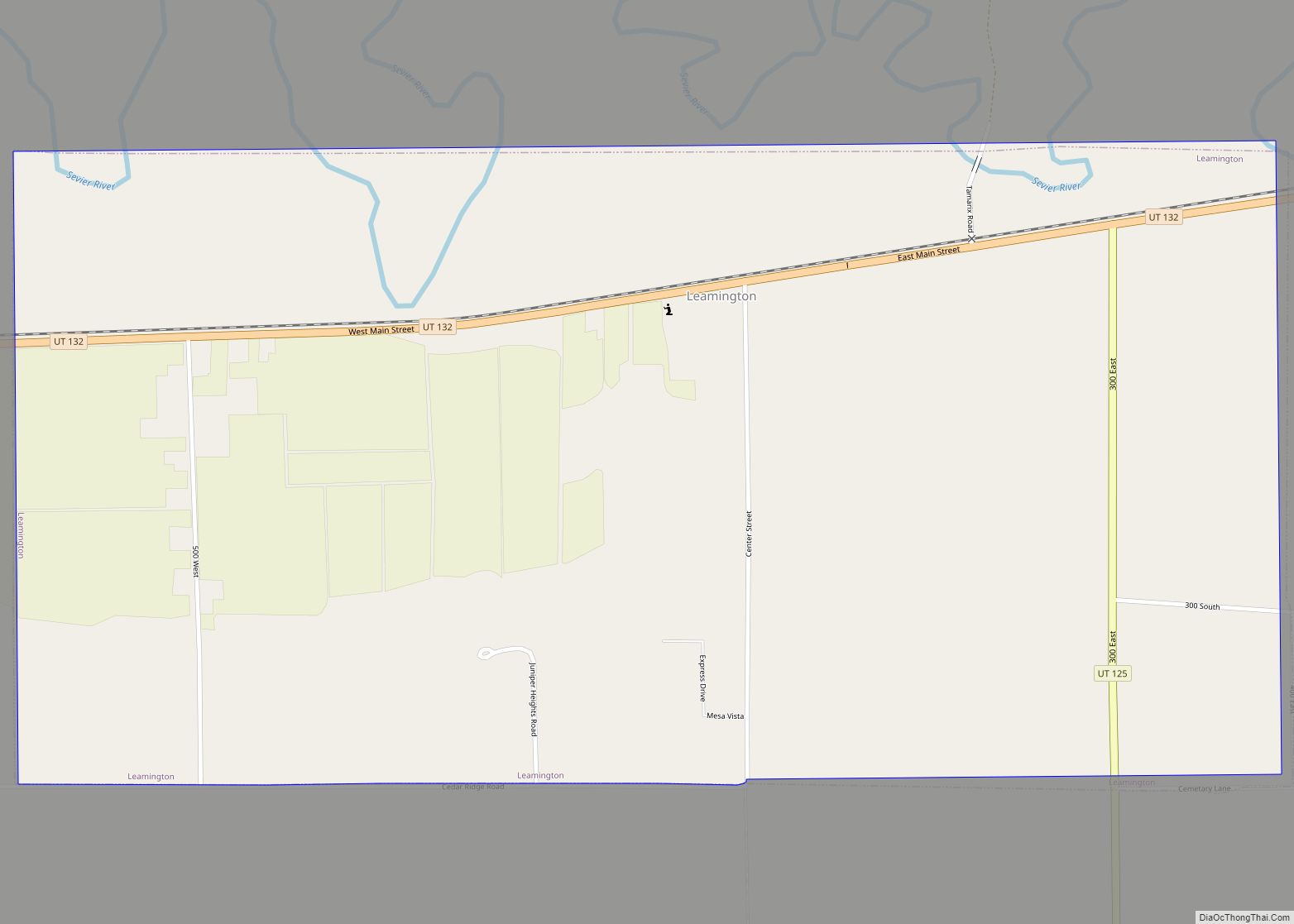
Lynndyl Road Map
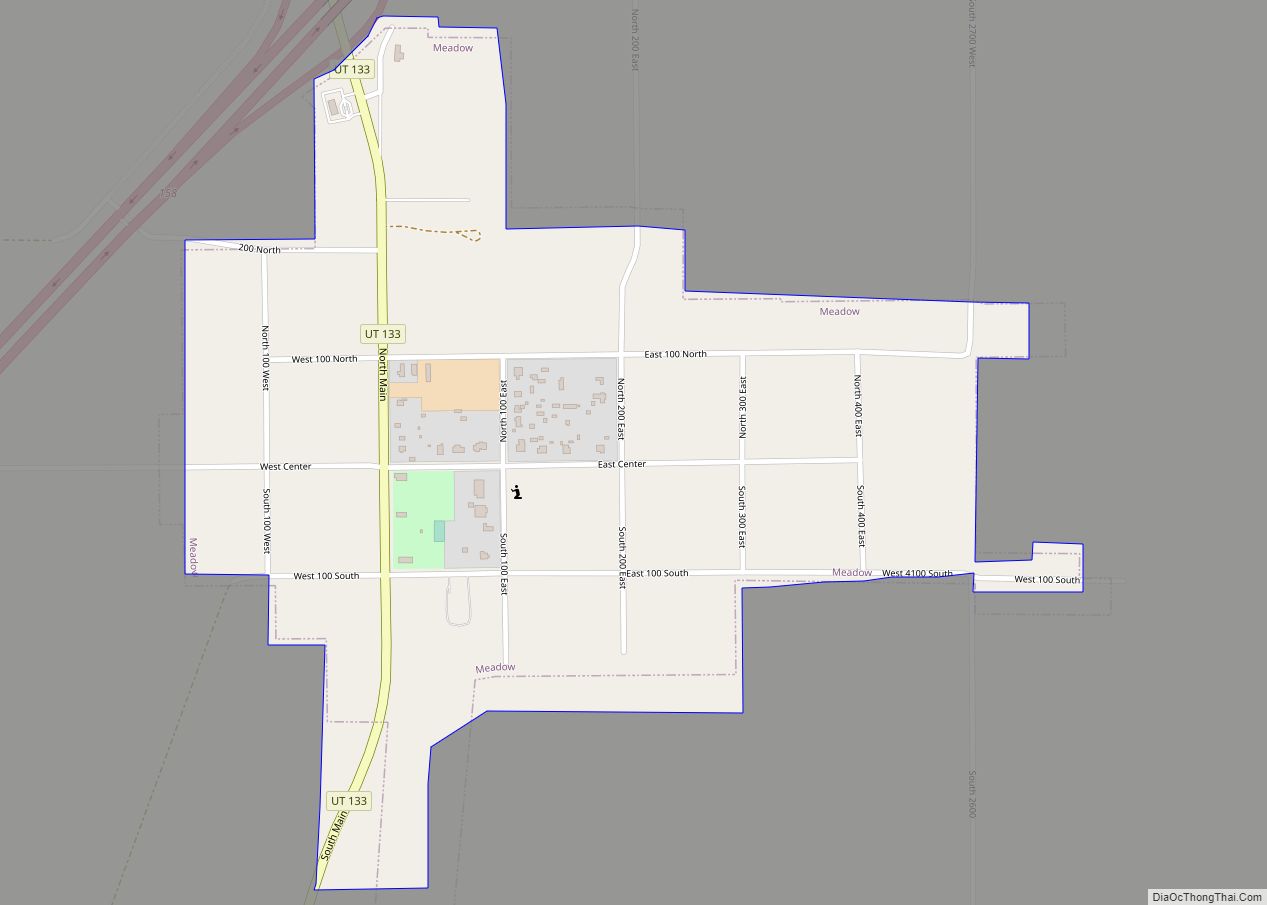
Lynndyl city Satellite Map
Geography
According to the United States Census Bureau, the town has a total area of 3.5 square miles (9.1 km), all land.
See also
Map of Utah State and its subdivision: Map of other states:- Alabama
- Alaska
- Arizona
- Arkansas
- California
- Colorado
- Connecticut
- Delaware
- District of Columbia
- Florida
- Georgia
- Hawaii
- Idaho
- Illinois
- Indiana
- Iowa
- Kansas
- Kentucky
- Louisiana
- Maine
- Maryland
- Massachusetts
- Michigan
- Minnesota
- Mississippi
- Missouri
- Montana
- Nebraska
- Nevada
- New Hampshire
- New Jersey
- New Mexico
- New York
- North Carolina
- North Dakota
- Ohio
- Oklahoma
- Oregon
- Pennsylvania
- Rhode Island
- South Carolina
- South Dakota
- Tennessee
- Texas
- Utah
- Vermont
- Virginia
- Washington
- West Virginia
- Wisconsin
- Wyoming