Rockville is a town in Washington County, Utah, United States. It is located along the Virgin River near the mouth of Zion Canyon. The city lies just outside the park boundary for Zion National Park; the park entrance is located approximately 5 miles (8 km) northeast of the town.
| Name: | Rockville town |
|---|---|
| LSAD Code: | 43 |
| LSAD Description: | town (suffix) |
| State: | Utah |
| County: | Washington County |
| Incorporated: | June 30, 1987 |
| Elevation: | 3,740 ft (1,140 m) |
| Total Area: | 8.47 sq mi (21.95 km²) |
| Land Area: | 8.47 sq mi (21.95 km²) |
| Water Area: | 0.00 sq mi (0.00 km²) |
| Total Population: | 245 |
| Population Density: | 31.75/sq mi (12.26/km²) |
| ZIP code: | 84763 |
| Area code: | 435 |
| FIPS code: | 4964560 |
| GNISfeature ID: | 1431946 |
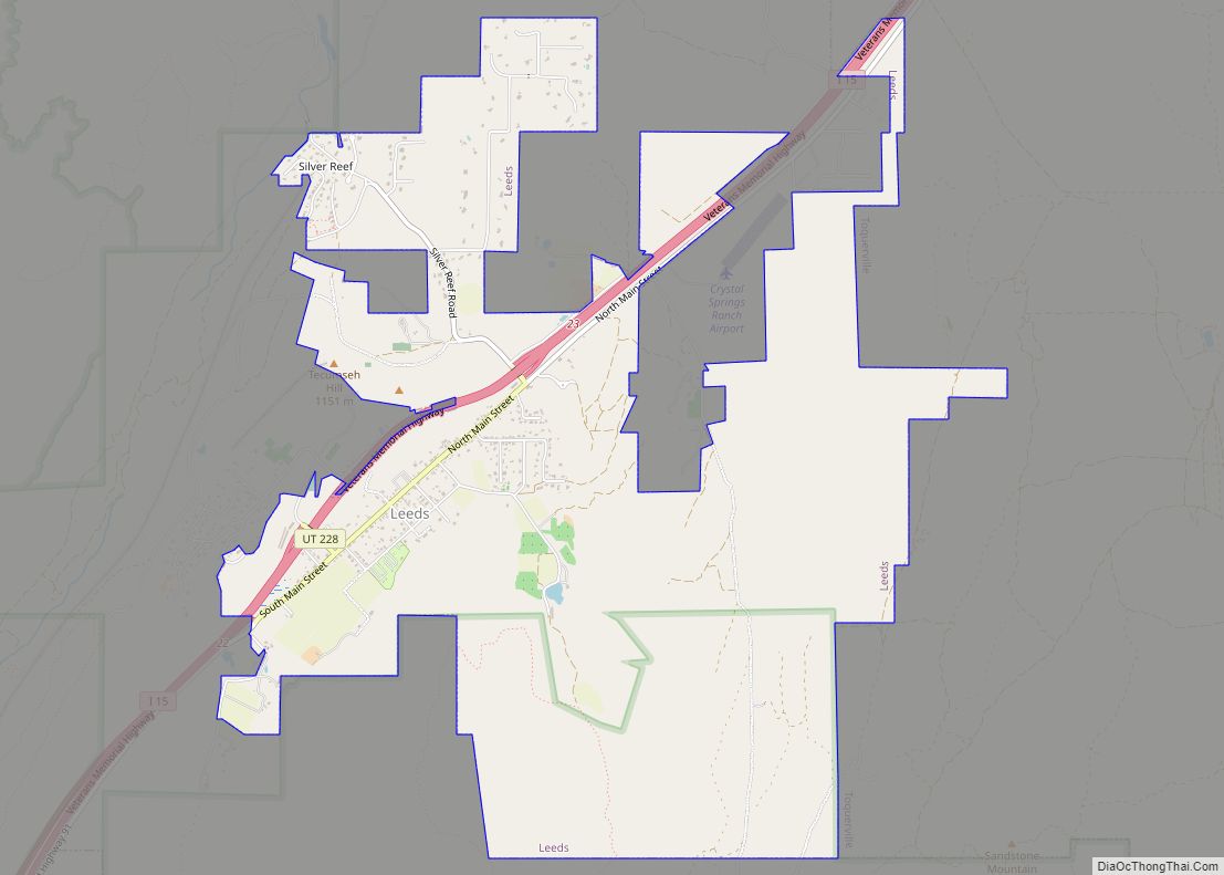
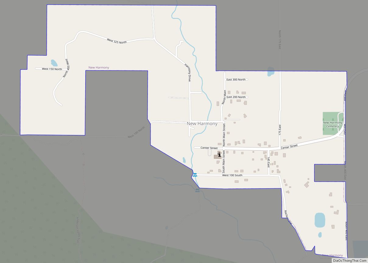
Online Interactive Map
Click on ![]() to view map in "full screen" mode.
to view map in "full screen" mode.
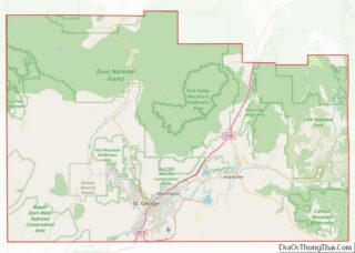
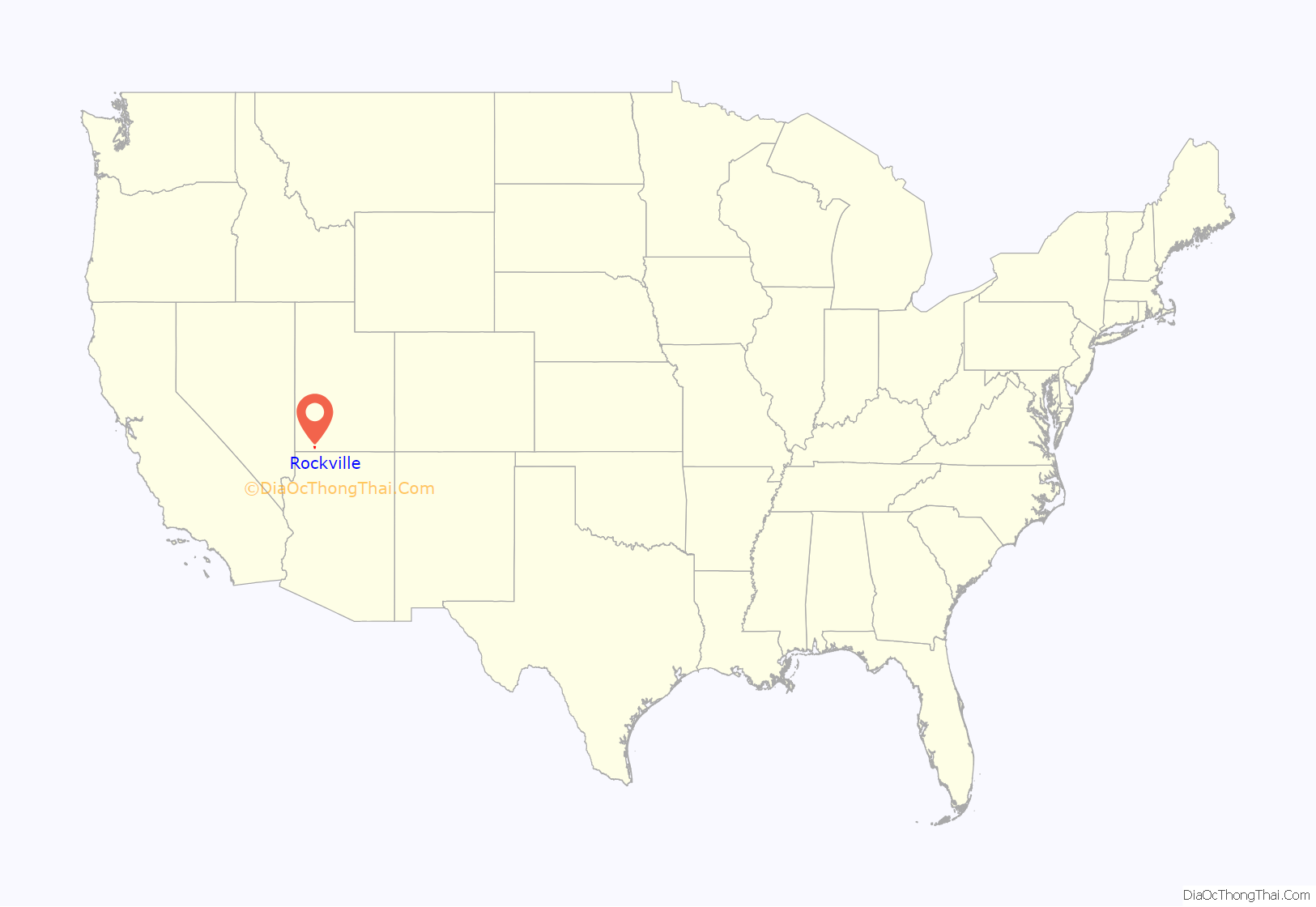
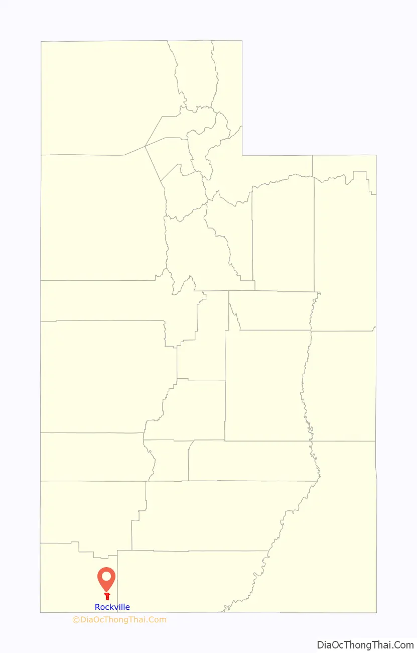
Rockville location map. Where is Rockville town?
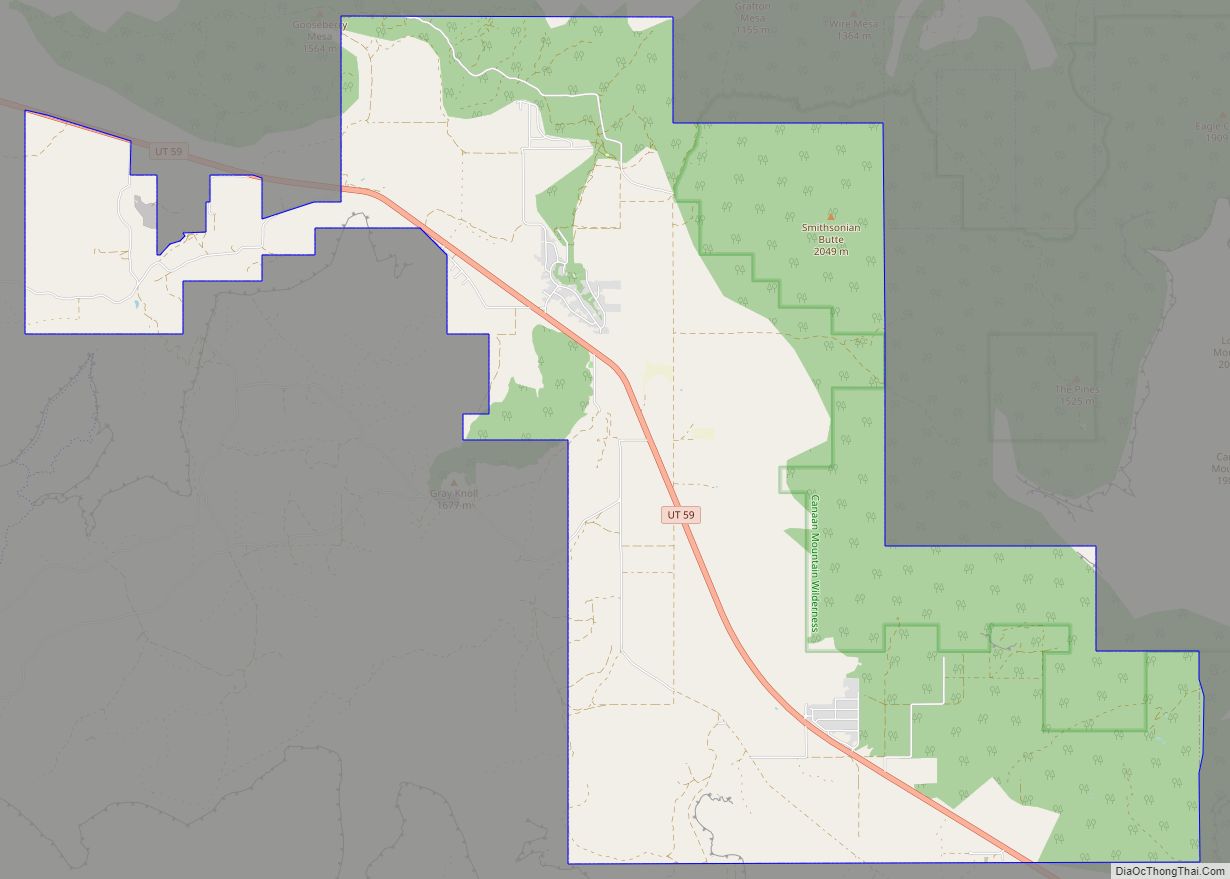
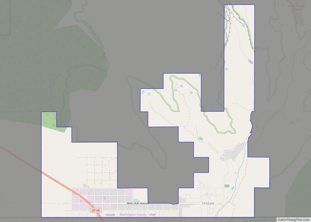
Rockville Road Map

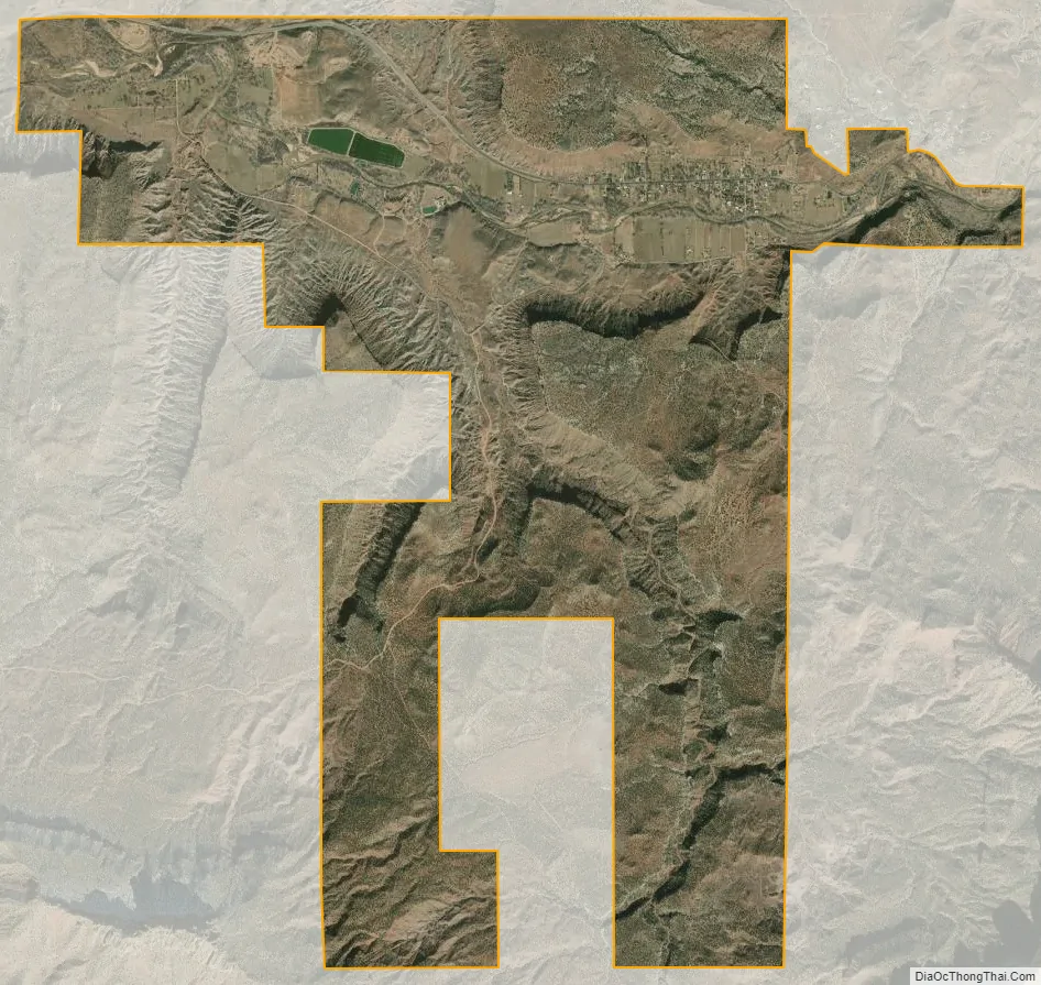
Rockville city Satellite Map
Geography
According to the United States Census Bureau, the town has a total area of 8.4 square miles (21.8 km), all land.
Climate
Rockville experiences warm and dry summers, with summer monthly averages around 75 °F (24 °C), and average highs around 90 °F (32 °C). The town has winter averages around 35 °F (2 °C), and average lows around 23 °F (−5 °C). The town experiences relatively low annual precipitation, with a yearly average of 13.2 inches (340 mm) precipitation. According to the Köppen Climate Classification system, Rockville has a warm-summer Mediterranean climate, abbreviated “Csb” on climate maps.
See also
Map of Utah State and its subdivision: Map of other states:- Alabama
- Alaska
- Arizona
- Arkansas
- California
- Colorado
- Connecticut
- Delaware
- District of Columbia
- Florida
- Georgia
- Hawaii
- Idaho
- Illinois
- Indiana
- Iowa
- Kansas
- Kentucky
- Louisiana
- Maine
- Maryland
- Massachusetts
- Michigan
- Minnesota
- Mississippi
- Missouri
- Montana
- Nebraska
- Nevada
- New Hampshire
- New Jersey
- New Mexico
- New York
- North Carolina
- North Dakota
- Ohio
- Oklahoma
- Oregon
- Pennsylvania
- Rhode Island
- South Carolina
- South Dakota
- Tennessee
- Texas
- Utah
- Vermont
- Virginia
- Washington
- West Virginia
- Wisconsin
- Wyoming